Riddes to Isérables and along the Grand Bisse de Saxon, Valais, Switzerland

Following my post at the beginning of May, regarding my entry into the Sierre-Zinal Race, I received a comment from a friend and ex-work colleague, Selin, who had done the race twice previously. She asked if she could join me in a training run. Naturally I jumped at the chance of having a training partner (chatting away to someone, if you have any breath left, is a great distraction from the pain!) And we duly hatched a plan to do a route today, which climbed around 900m or 3,000ft from Riddes to above Isérables, then undulated along for 3km or 2 miles, before climbing another 300m or 1,000ft to the Grand Bisse de Saxon. It was then a flat 3km or 2 miles alongside the bisse before dropping all the way back down to Riddes. This ‘profile’ closely follows the actual race, though with around 2/3rds of the height gain and distance.

I deliberately left my camera at home, otherwise we’d still be there now (as there were many butterflies fluttering around in the bright, warm sunshine). But, thankfully, Selin brought along her phone and she stopped occasionally to capture some of the views and yours truly plodding along. 😊

The route also went across one of the Nendaz ski pistes, which still had quite a lot of snow in places. So one of the stranger sights we saw was a man skiing down a section of that! I mean, it’s nearly June for goodness sake!

Bisse de Sion and Bisse d’Ayent Walk, Valais, Switzerland

As I was about to set off to do this walk yesterday, Jude said to me “Be careful!” I replied saying that there was nothing to worry about as I wasn’t going anywhere precipitous or dangerous. Er… WRONG!!

My plan was to pick off another of the many bisses or watercourses in the Valais. This time it would be the Bisse de Sion but, to make it into a loop, I would return via the Bisse d’Ayent (previously posted here). As you can tell, I wasn’t expecting any difficulties (or any snow) as bisses are generally flat and the Bisse de Sion runs at a height of around 1,750m (5,740ft) on the south facing/sunny side of the Rhone valley. Put into context, my walk on Friday was at a height of 2,000m (6,560ft) and there was only a few inches of snow.

Everything was going as expected until I was about half to Lac de Tseuzier. OK, there had been a bit of snow in the very shaded areas, but nothing to indicate what was to come. Picture 11 shows where I first encountered some significant snow but this was quickly overcome. However, there were two much bigger challenges waiting around the corner (shown in pictures 17 to 21). Thankfully the snow was well packed and the air temperature sufficiently high to make it easy to stamp solid footholds in the top of the snow. Also my new cross-country trainers have a series of studs which added to my confidence in getting around and/or over these obstacles.

If you look closely at the centre of picture 21, you will see my ‘steps’ down in the snow. It looks dangerous, but I can assure you there were some very good hand-holds on that rock to the right, otherwise I would never have attempted it.

From then on, although there was some more snow, it was very easy going and at no point throughout the walk did my feet ever sink in above the level of my shoes, let alone my ankles. When I reached the ski parking area at Les Rousses, the signs indicated that the road and my route through the tunnel was closed. (See pic 24). So, having had enough challenges for one day, I turned about and walked over 2km (1.5 miles) down the road until I found a path which led me to the much lower and snow-free Bisse d’Ayent. This did at least allow me to get a sort of bird’s eye view of the Bisse d’Ayent. (See to the right of pic 27).

I should also have mentioned in my previous post on this subject that the Bisse d’Ayant is such an iconic example that the Swiss have decided to put a picture of it on their 100 Swiss franc note. That’s about 110 US dollars or 85 UK pounds. (I’d include a picture but I’m afraid I haven’t got one!)

Arolla to Lac Bleu (Walk 10) in the (deep) snow

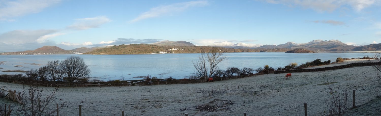
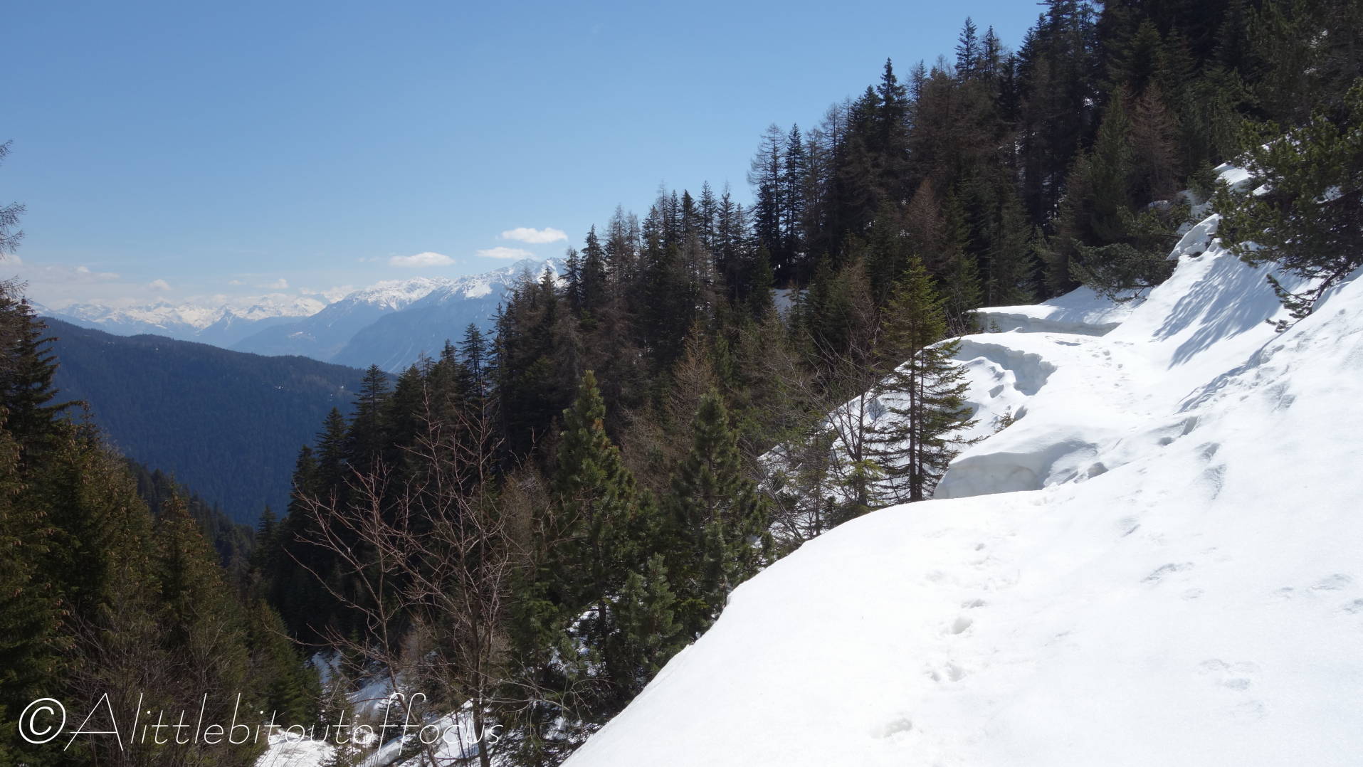
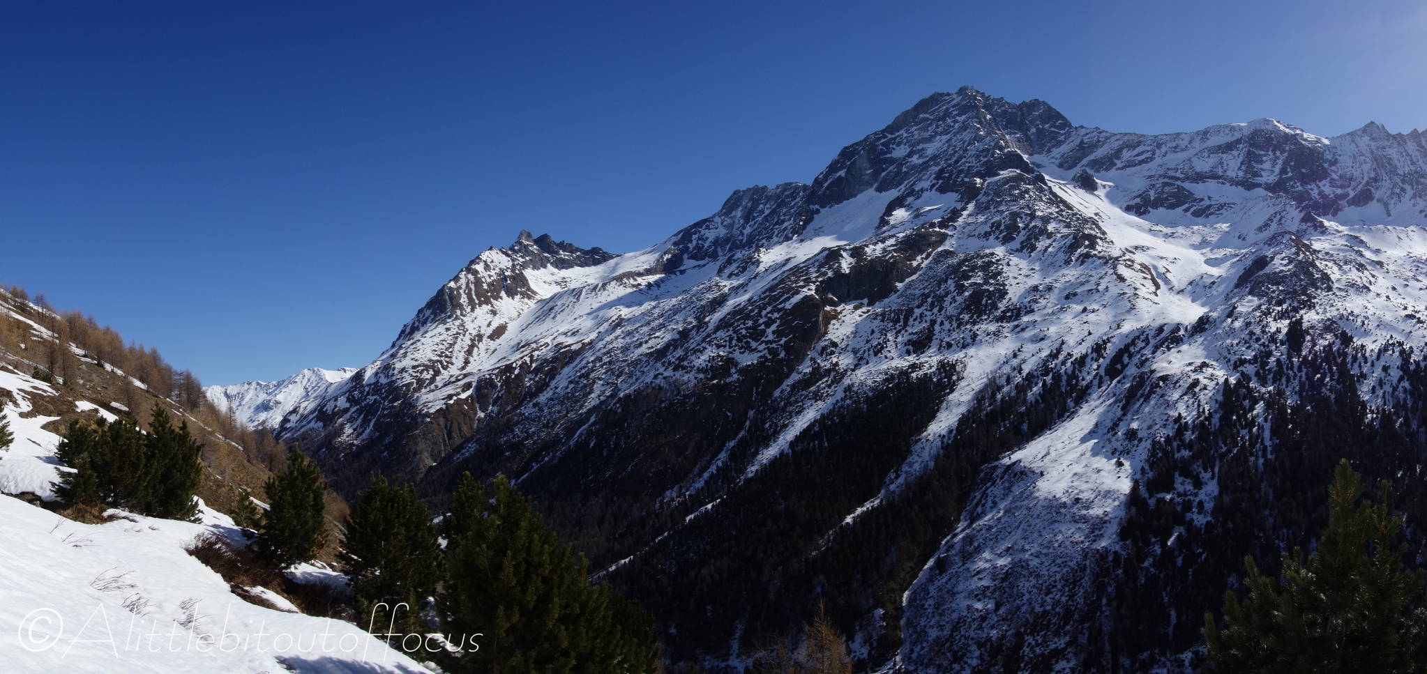
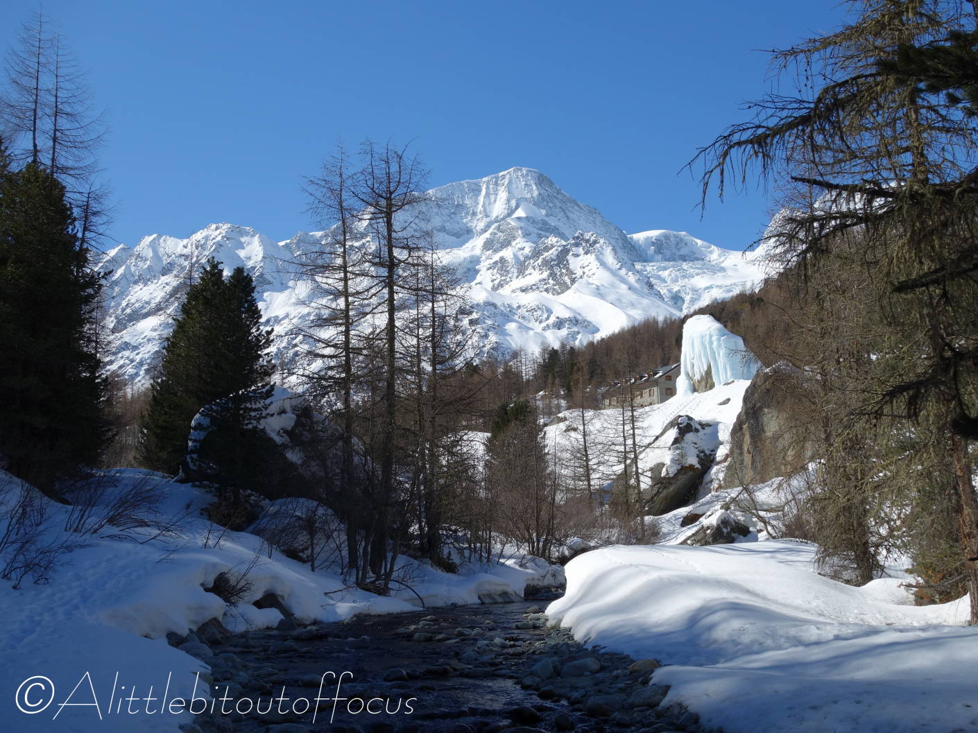
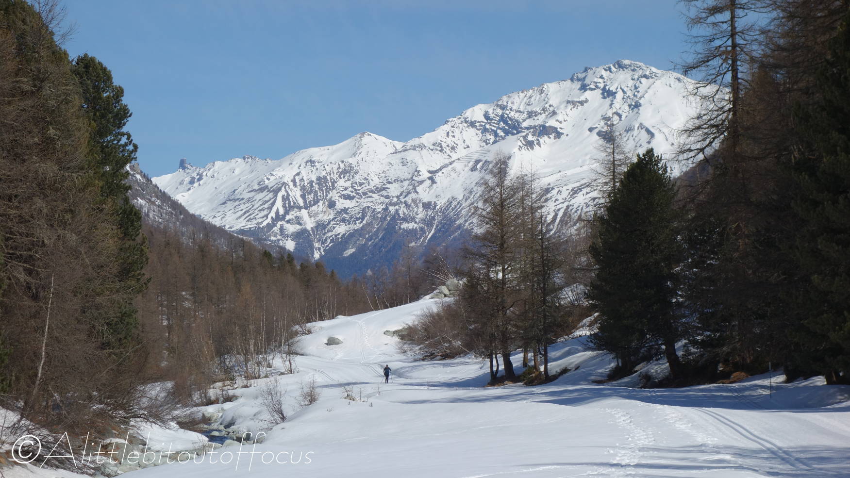
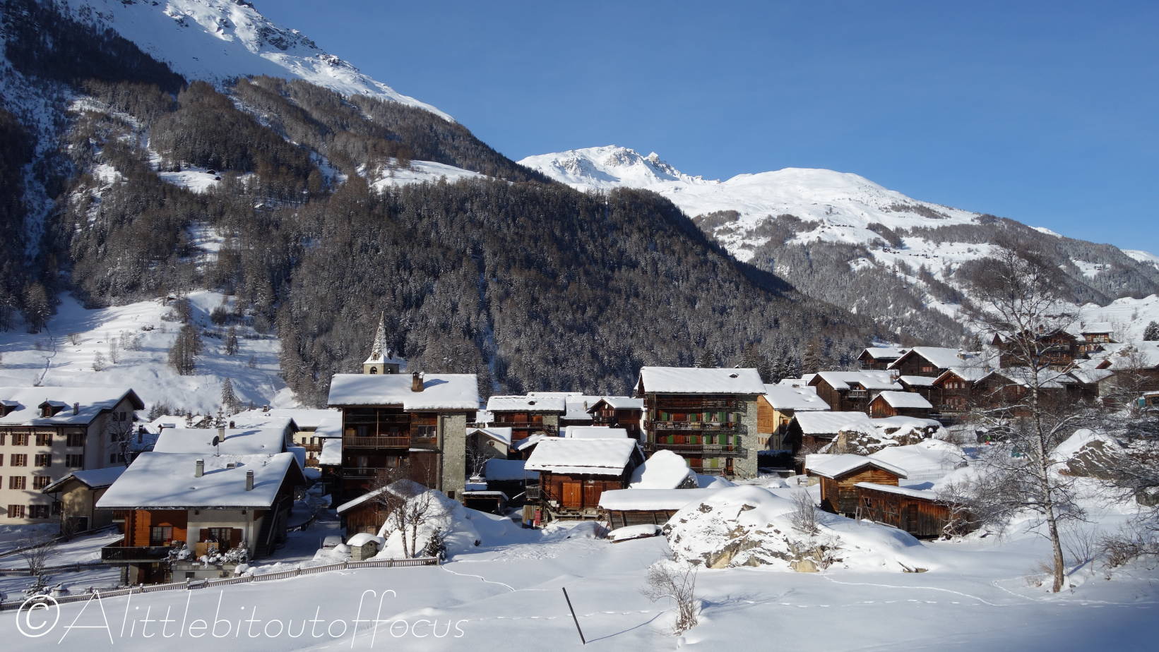
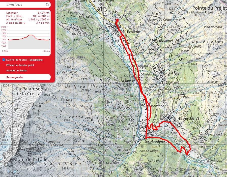
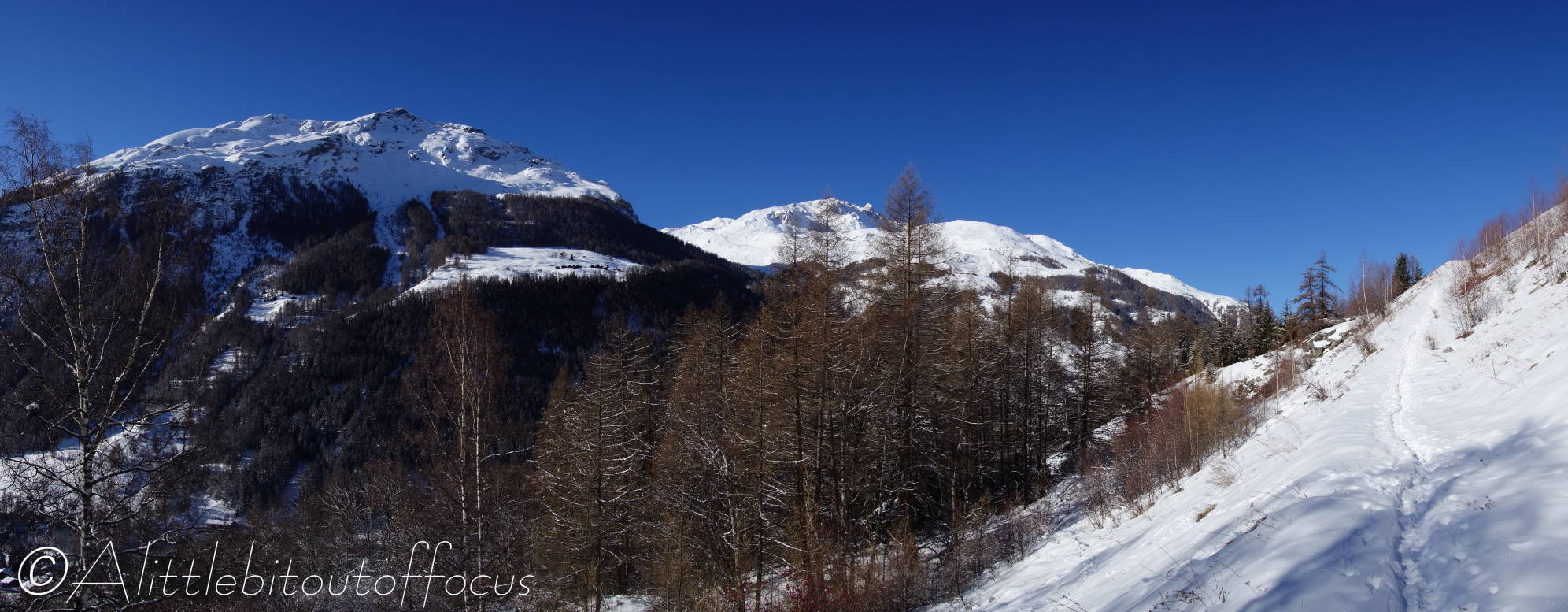
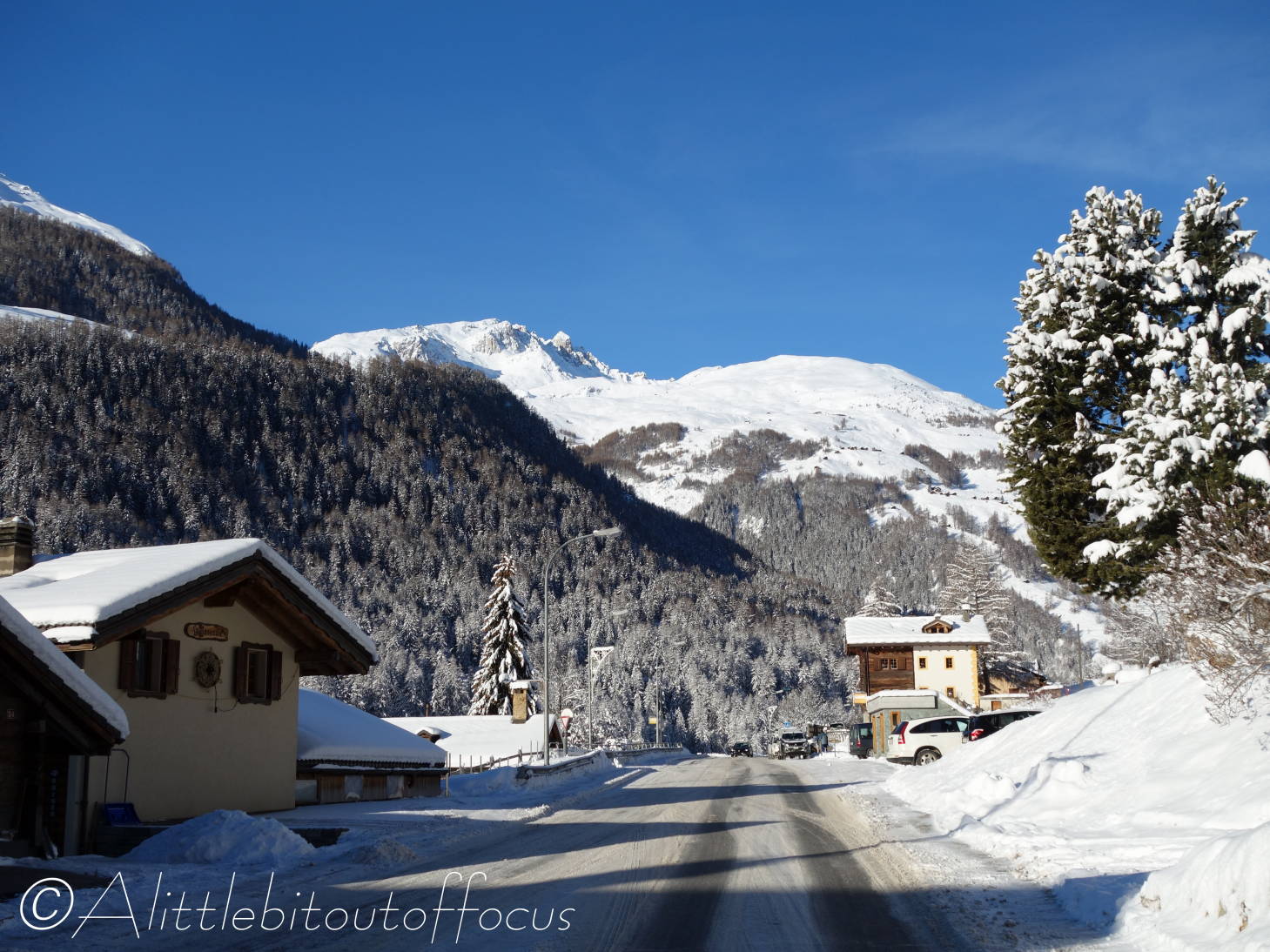
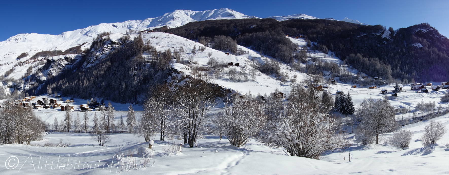
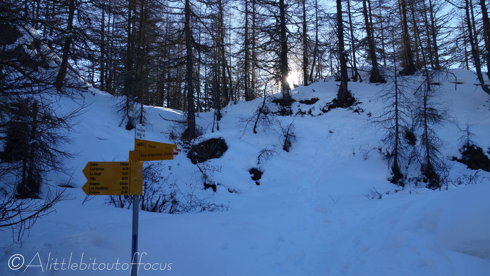
I promised in my post on Monday that I would return to do this walk with my GPS. I knew that things would be ‘interesting’ when the GPS showed I was about 10 metres to the right of the road I was walking on to get to the start. A walk, of around 4km or 2.5 miles, which would take me no more than 1h 30 mins in the summer, turned out to be a bit of a nightmare. Read on…

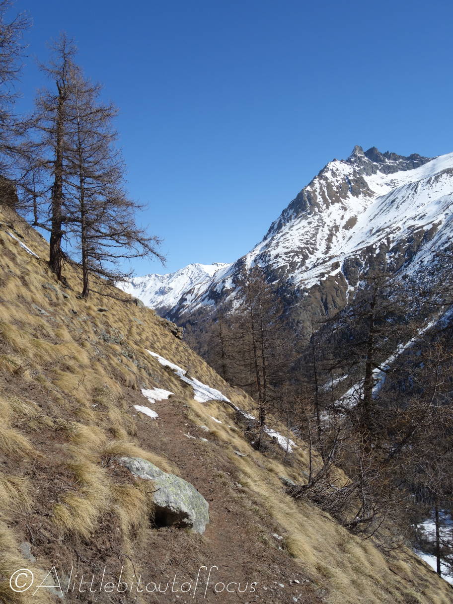
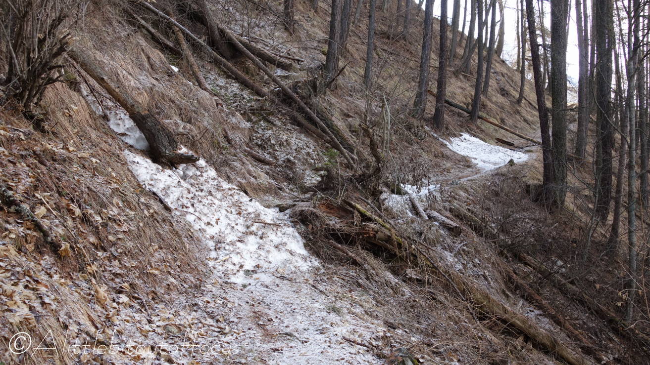
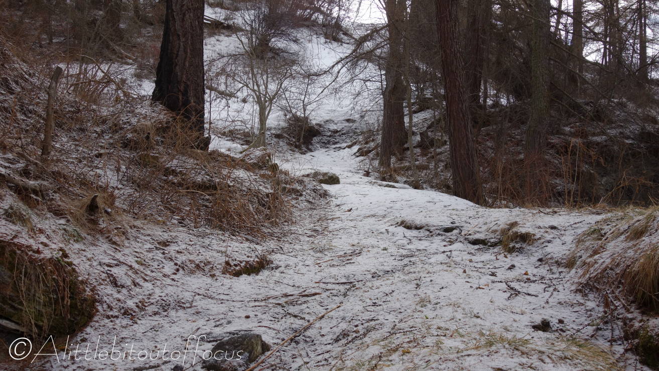
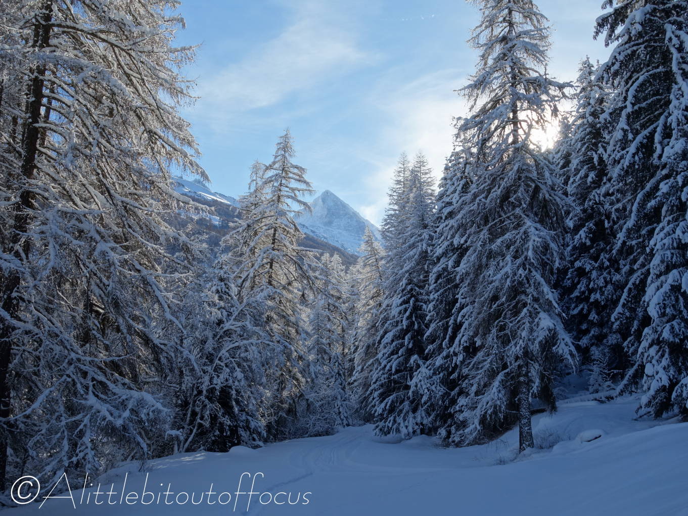
It wasn’t long before I reached the point where I turned around last time and I discovered that the path did a quick left-right zig-zag up the hill. So far, so good, but the way ahead still wasn’t crystal clear. I spent the next hour or so picking my way through the trees, often knee deep in snow, either just to the left or just to the right of the line shown on the GPS. If I was to the left, the route below and to the right often looked easier. Then I’d look up and the route above looked better. Never mind one zig-zag, I must have zig-zagged all the way along that first section.

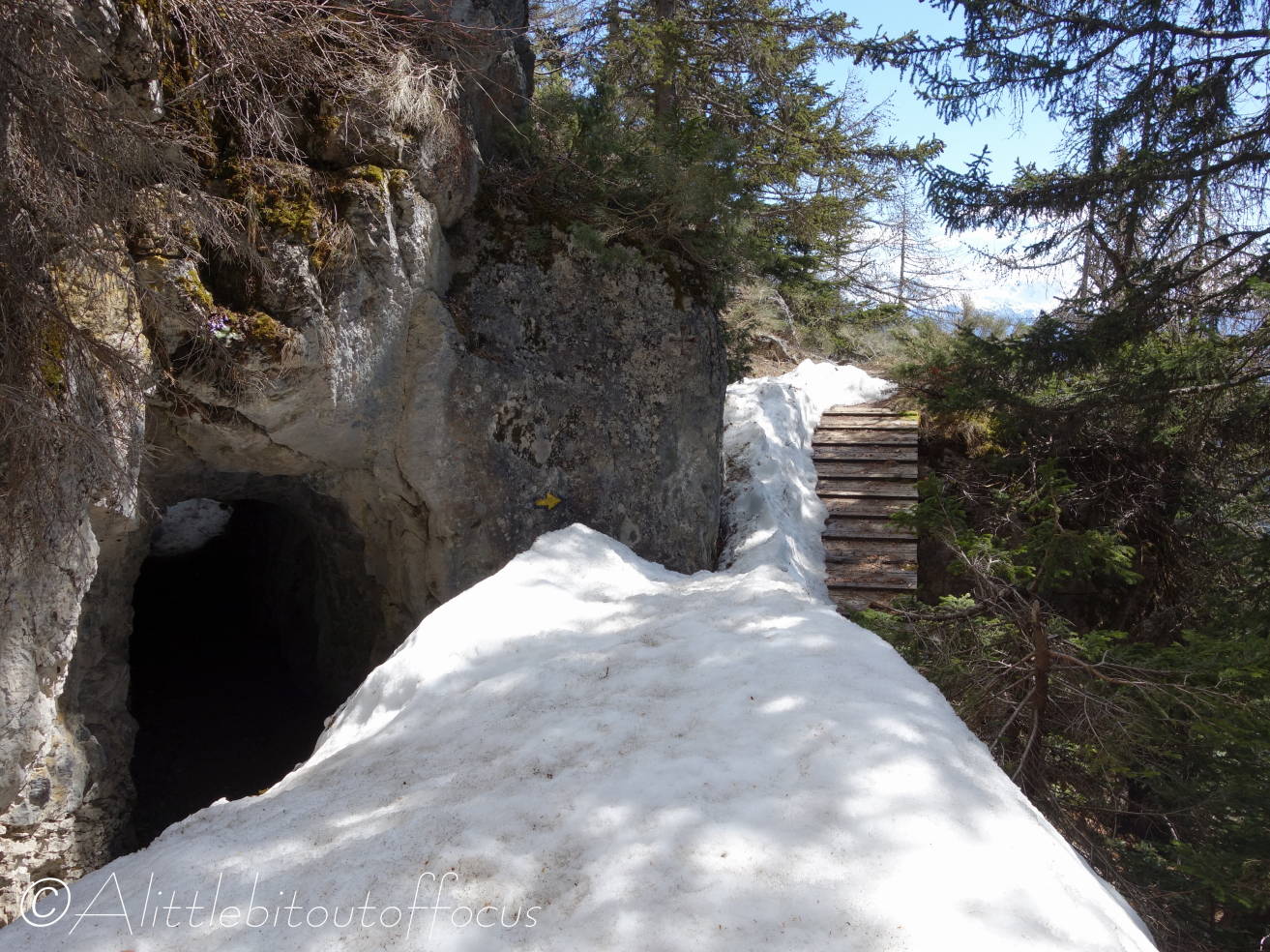
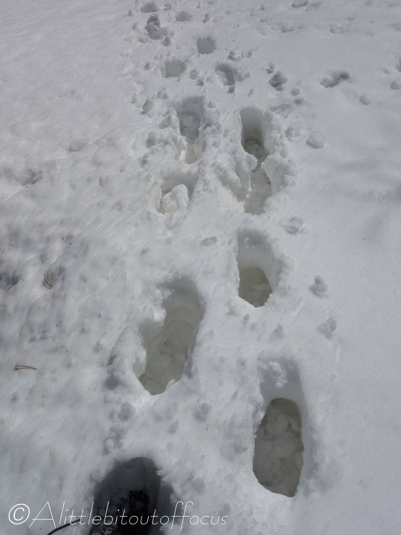
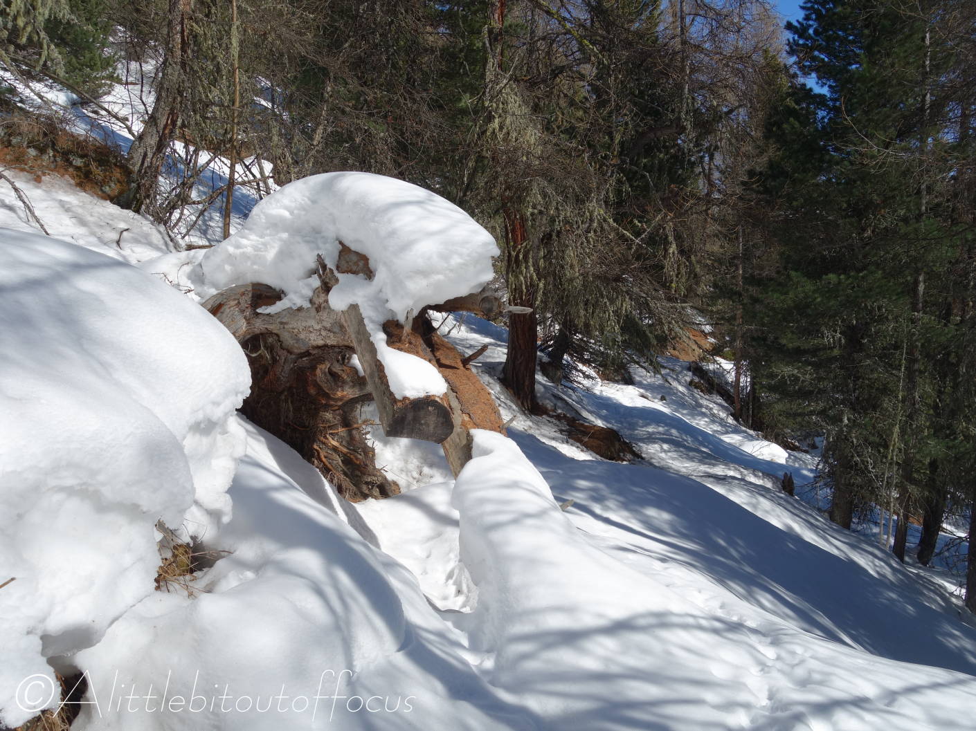
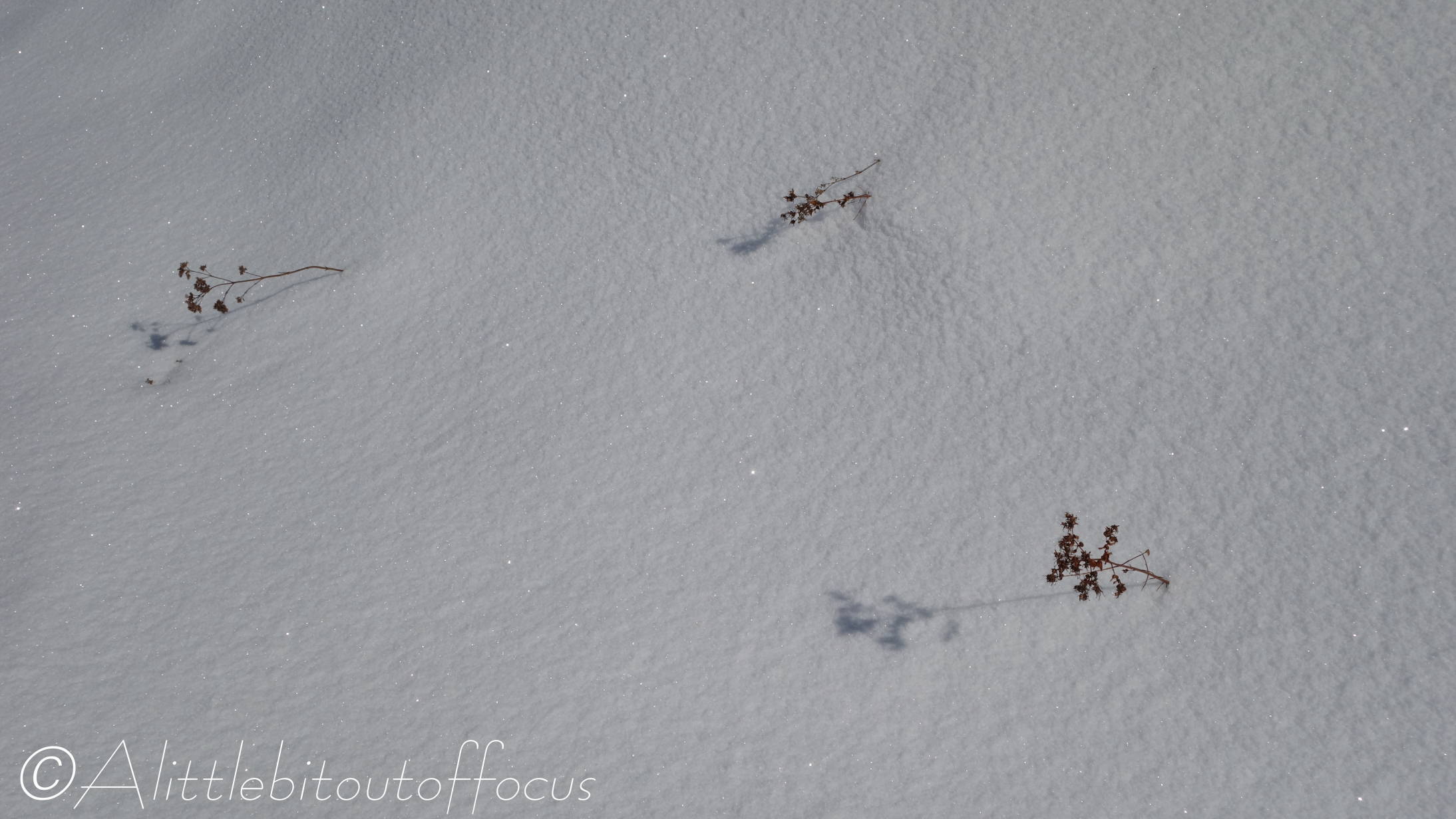
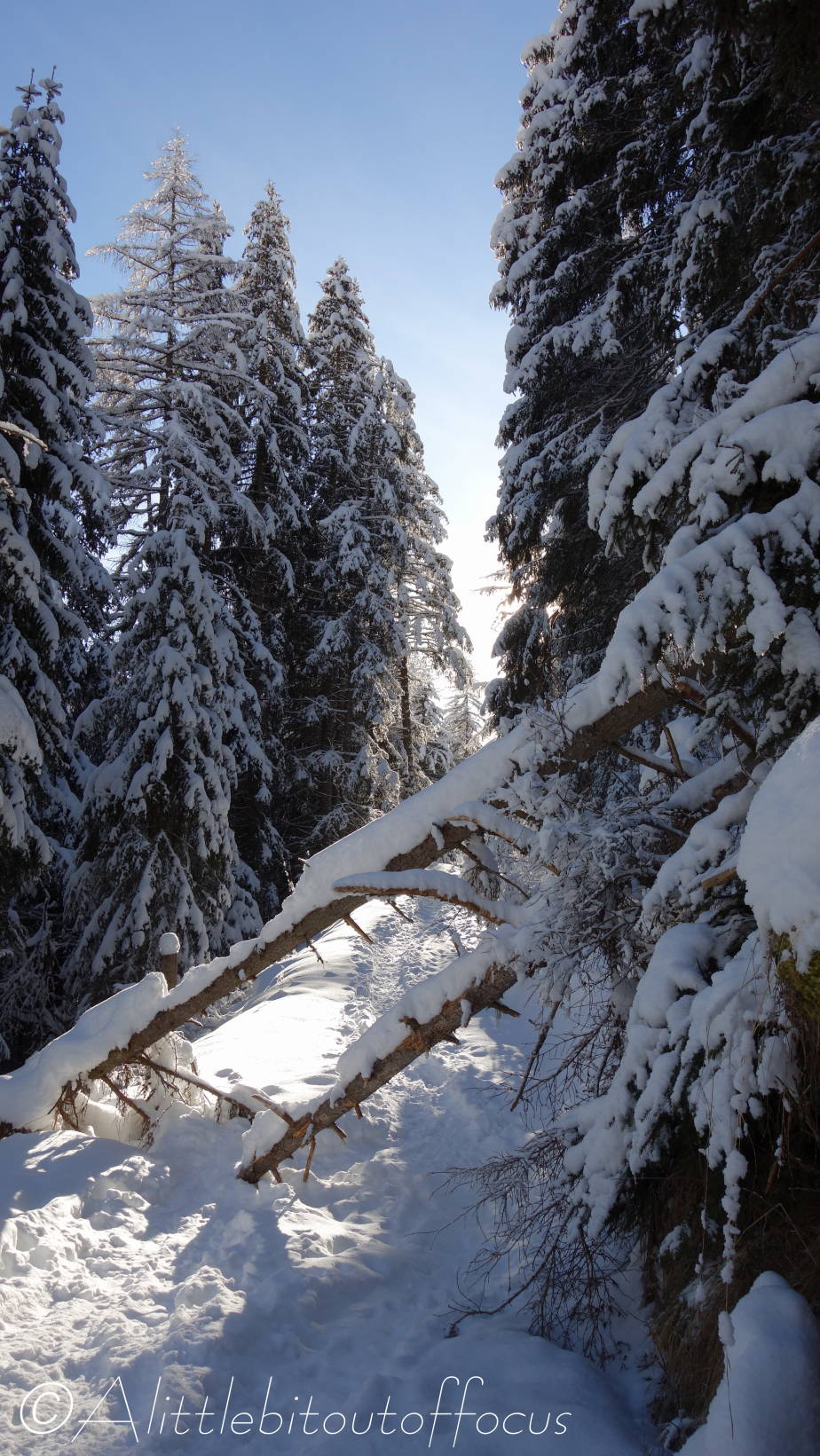
I came across the open area where I was worried before about an avalanche. I decided to drop down to where the trees were only 10 to 15 metres apart. Big mistake. I took one step down and my leg disappeared into a huge hole. It was like stepping off a 3 foot wall (or rock probably). I was instantly thrown forward, down the slope and started to slide. The good news was that I was going head first and so I could see that I was heading for a small bush. I grabbed a branch and this arrested my slide. The bush, or at least what’s sticking out of the snow, can be seen just below the centre of picture 8, with the hole up to the right (below the middle one of the three trees top right).

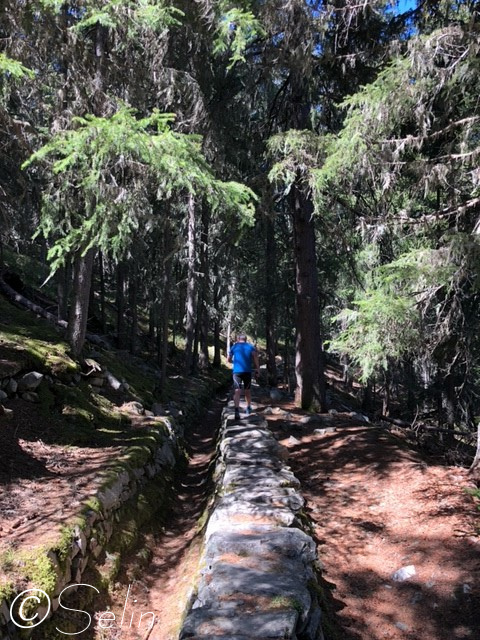
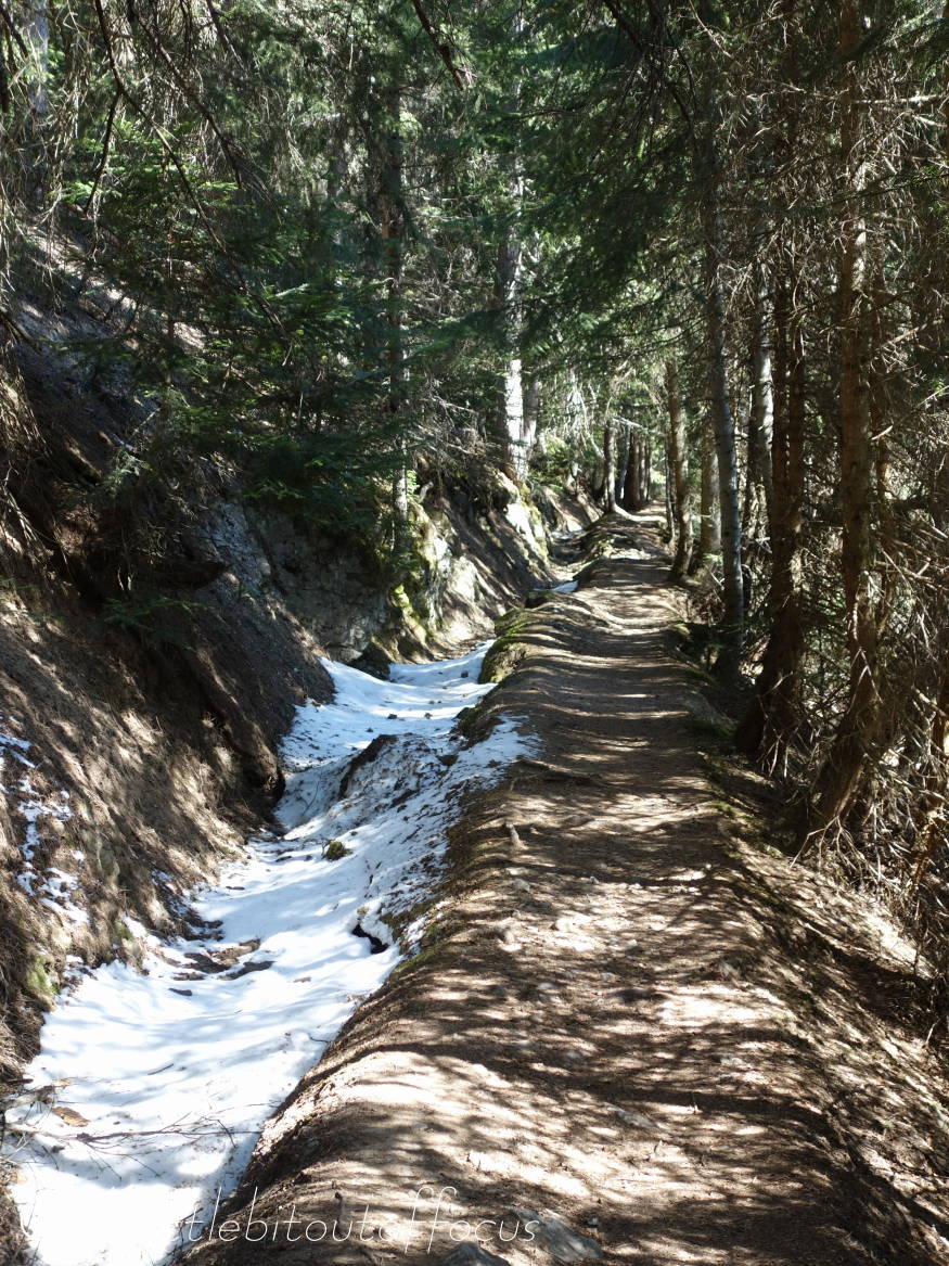
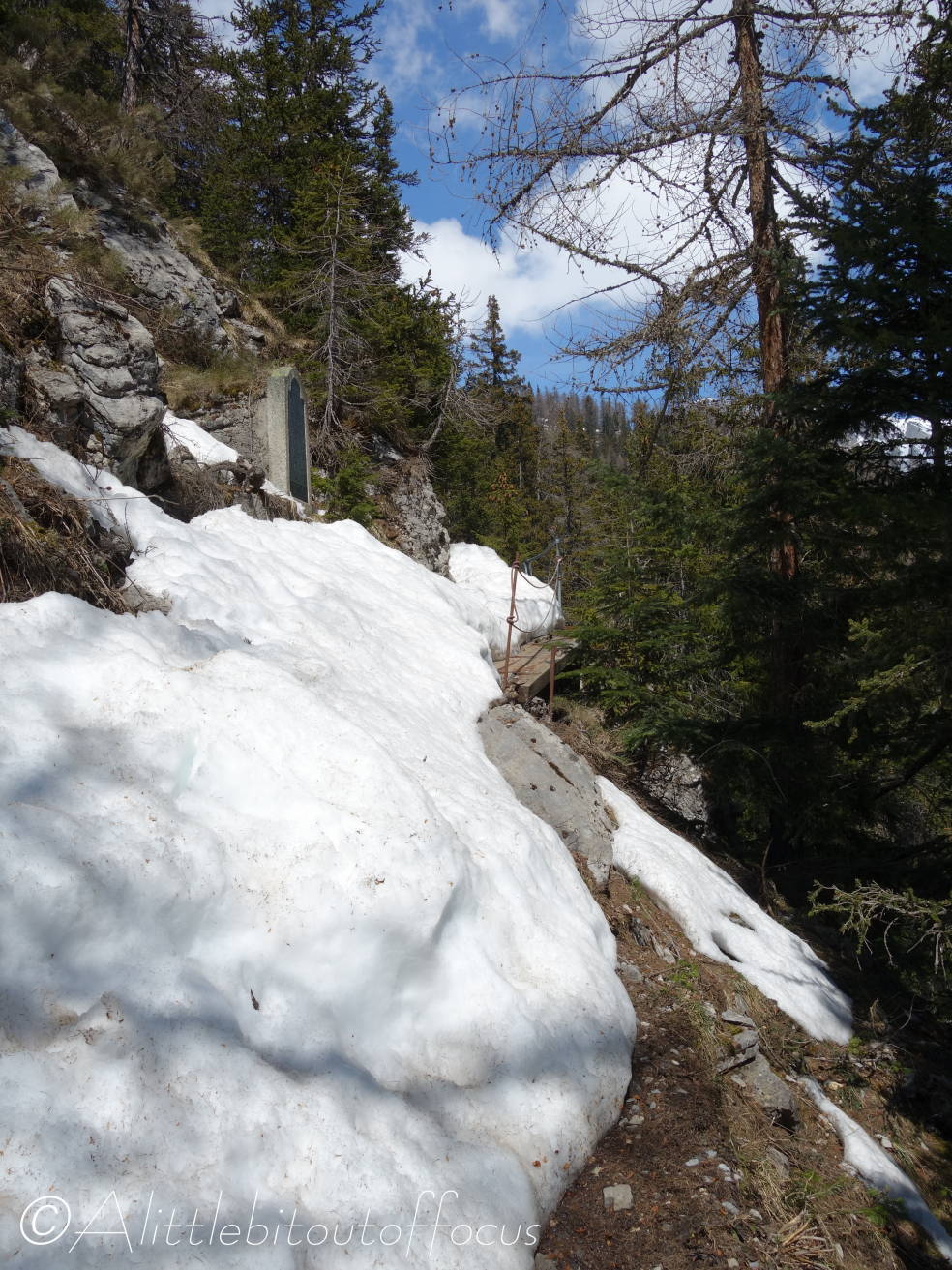
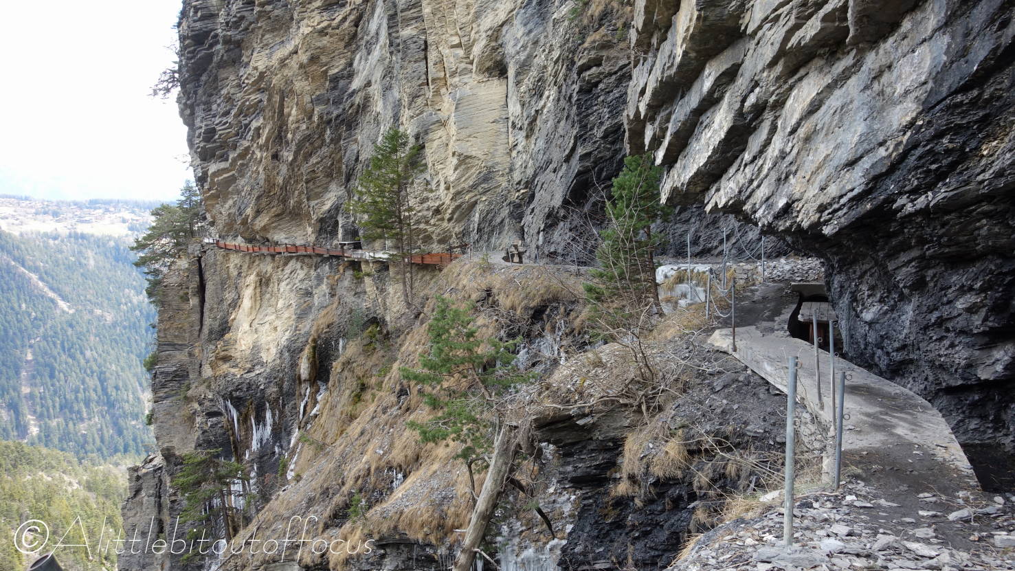
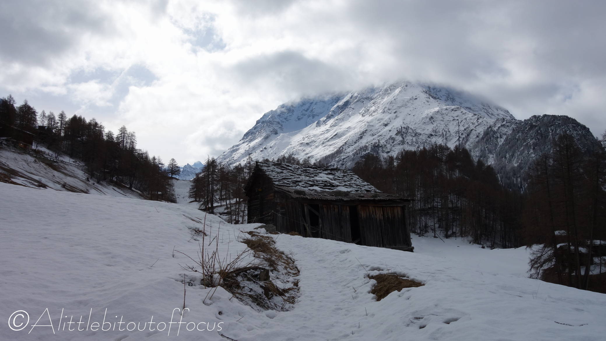
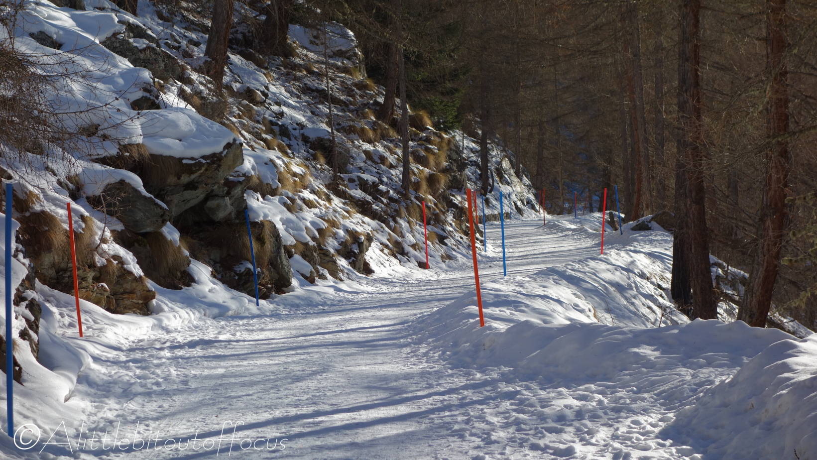
Safely on the other side, the going got much easier as the snow had been cleared by the sun – but only for about 300 to 400 metres. My next challenge was a short section which was/is ‘protected’ by a metal chain. (They normally fix these where the ground goes away steeply, or straight down, to the side). The problem was that half of the chain was still under snow and I couldn’t get it out to hold onto. So I had to kick foot holds, VERY carefully over the top. (See pics 13 and 14).

And then it got worse…

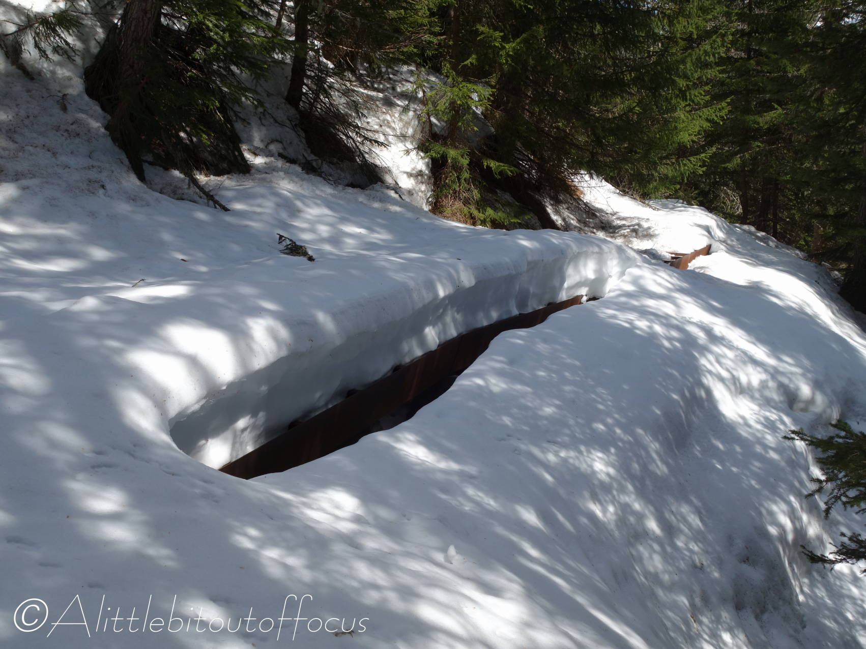
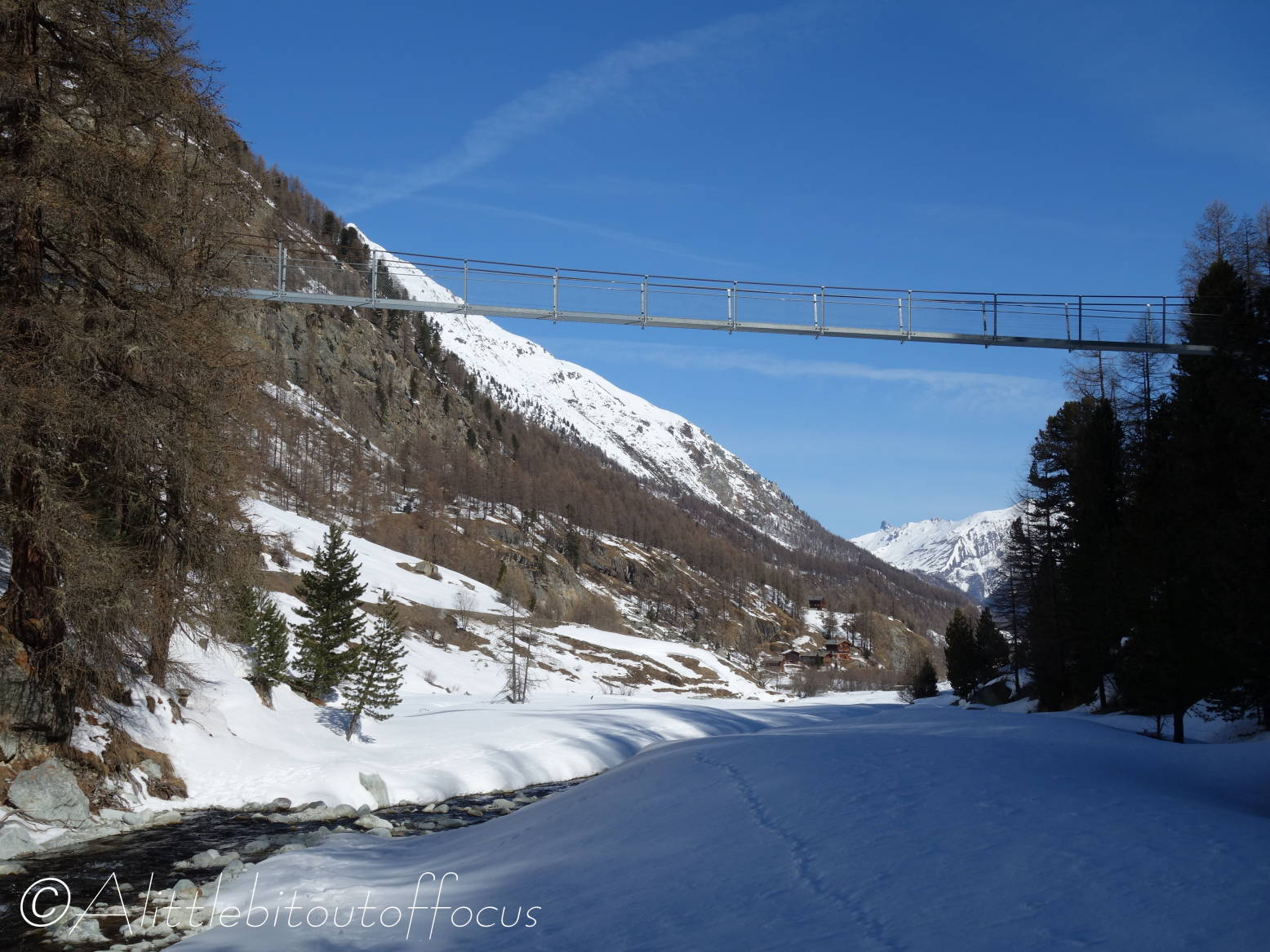
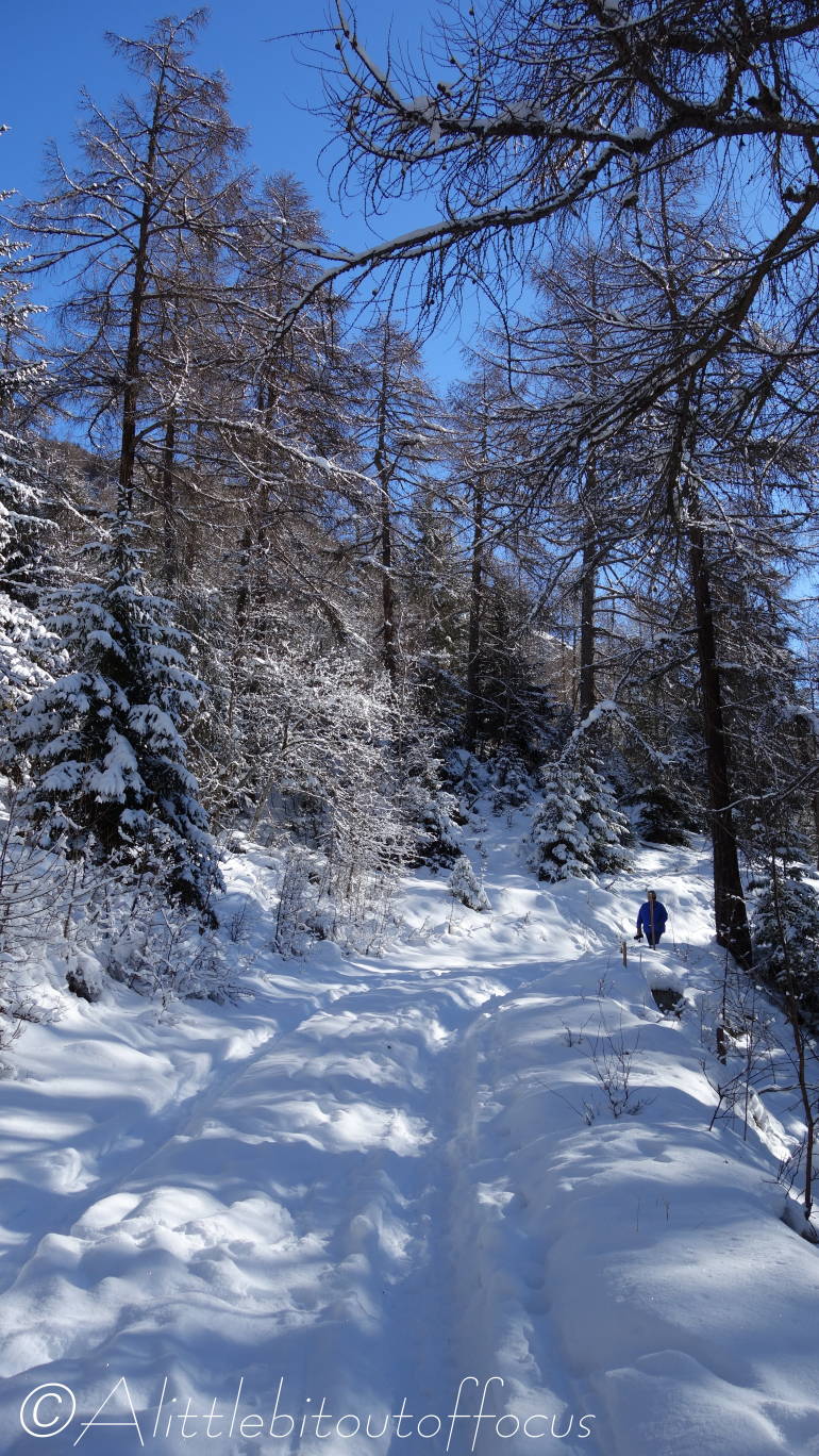
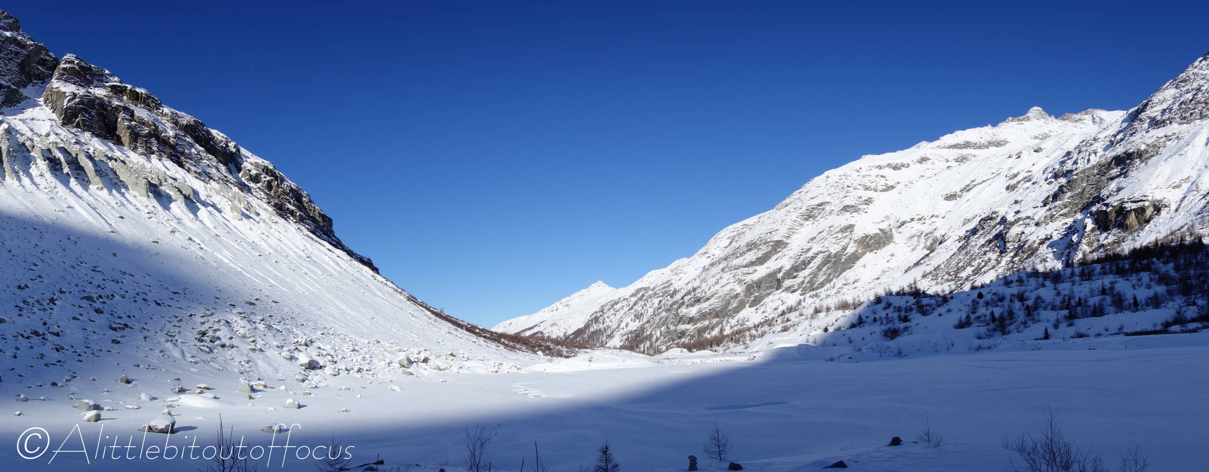
I was back in the woods, zig-zagging up and down the slopes again and the snow got deeper and deeper. I reached a gully where I could see a bridge, slightly above, which I needed to cross, but the way around to it, looked too risky. So I climbed up through the trees, thinking it would be safer to make my way across and down to it. (You may have gathered by now that turning back was not really an option as I was much nearer to Lac Bleu than Arolla).

Then I heard voices, which turned out to be a some ski-tourers coming down the gully. A guide, 30 metres (or 100ft) below, was calling to his clients. I figured that if he could get there on skis, I could get across to the bridge – and so I dropped back down to where I’d started. But getting around to the bridge proved to be the hardest challenge of all.

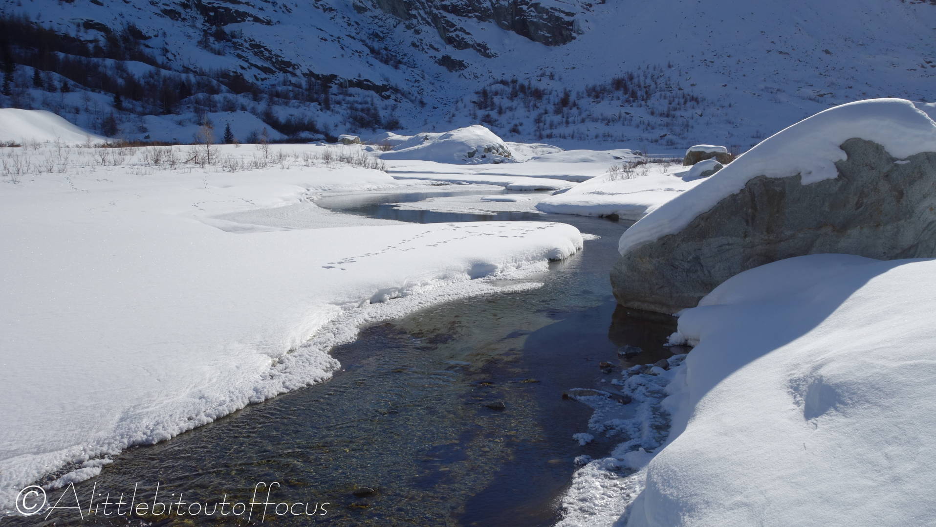
I kid you not, the ‘slope’ of the snow must have been at least 60 or 70 degrees. So I was trying to climb up by kicking my feet into the snow, but as soon as I put my weight on my foot, it went back down to, more or less, where it started. It must have taken me about 20 minutes to cover just 25 metres. The snow was that deep it was over the top of the sides of the bridge. So I did, literally, go ‘over’ the bridge.

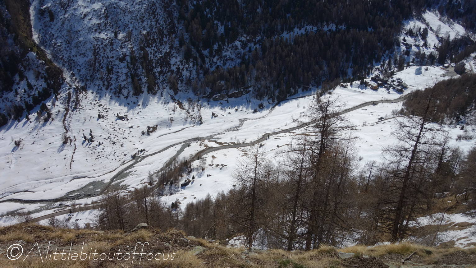
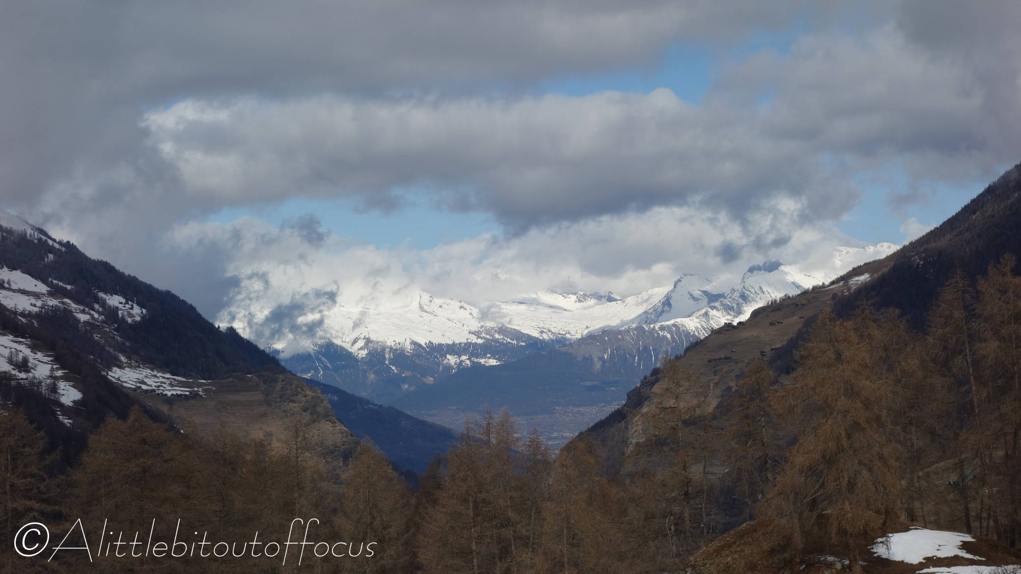
After more zig-zagging through the trees, I came to another gully. And the view back down to Satarma (pic 16) looked infinitely more appealing than another 20 minutes or more working my way around to what might have been a good path to Lac Bleu and then a descent to La Gouille and Satarma. So that’s what I did, I ‘walked’ (more like, stumbled) down the snowy slope, sometimes ankle deep, sometimes knee deep and more than once up to my thighs. Twice I got myself stuck, where I couldn’t move either leg, but luckily there was a branch nearby to help haul myself upright and out.

Five hours and 45 minutes after setting off, I arrived in Satarma. My feet were wet and soggy after all the snow that had melted into my boots. I took them off, wrung out the water from my socks and put them back on before trudging, disconsolately, back up the road to Arolla. I’ve never been so pleased and relieved to finish a walk.

I hope you’ll forgive me if I avoid snowy walks for the next few weeks…

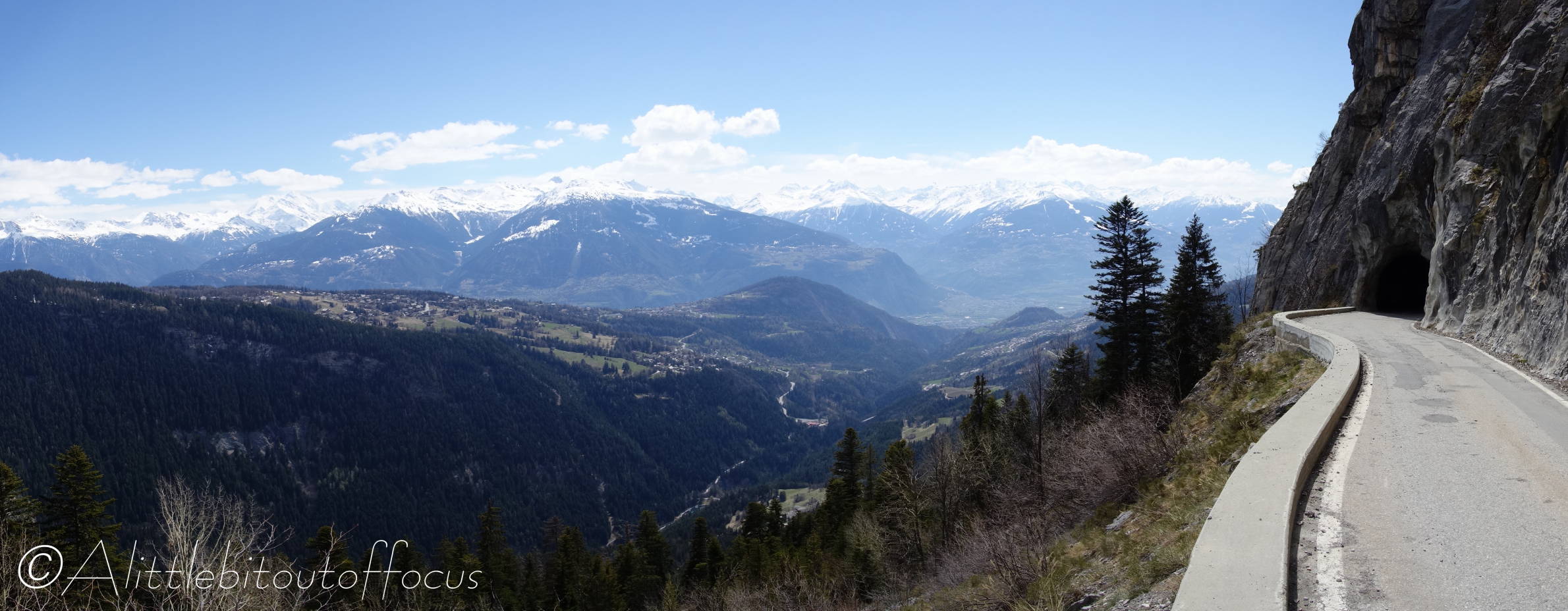
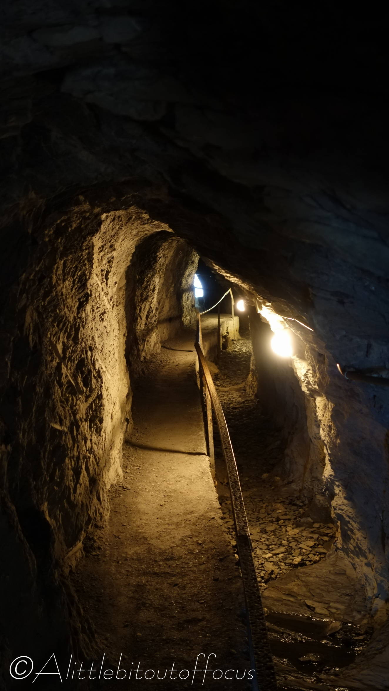
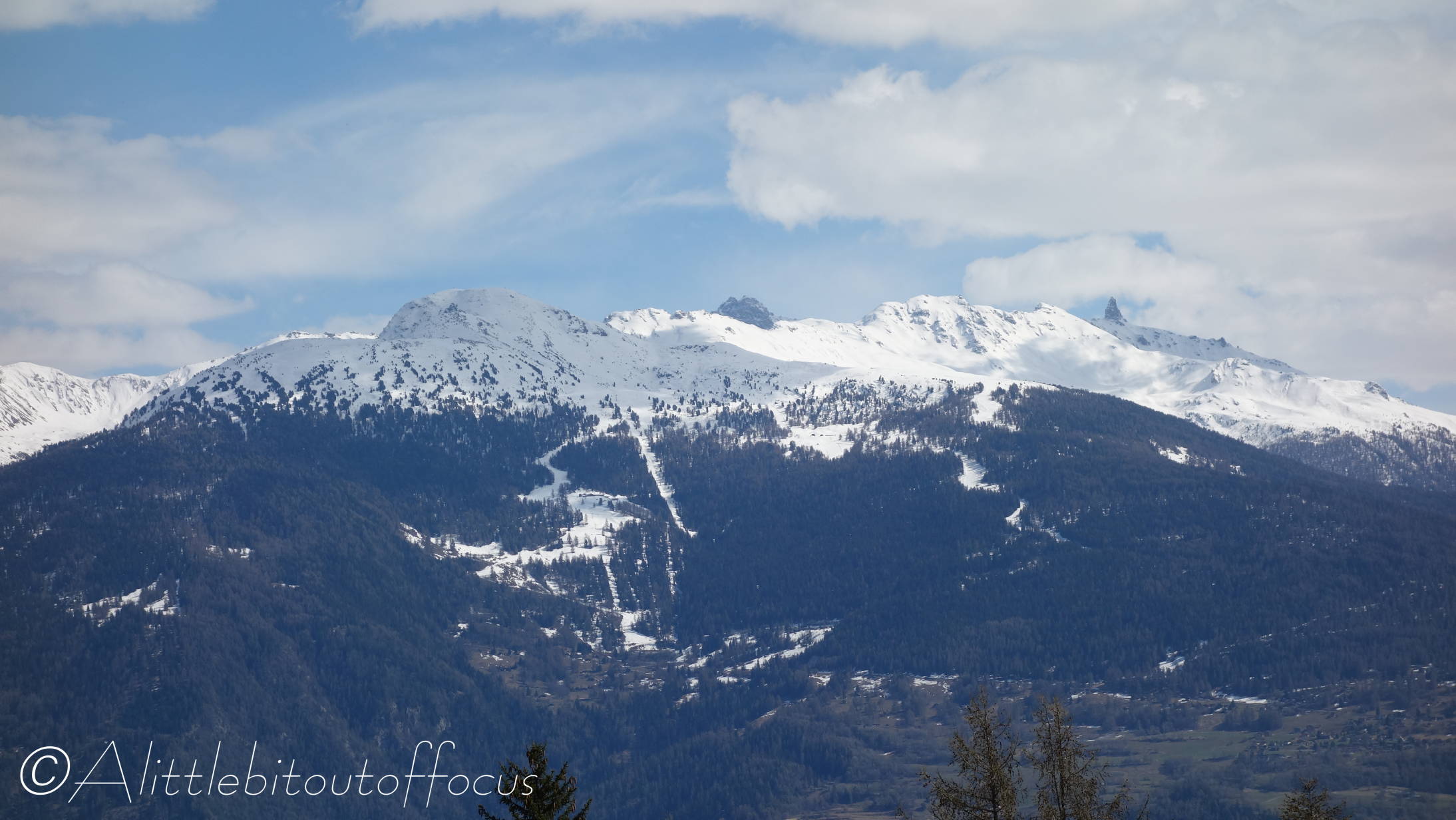
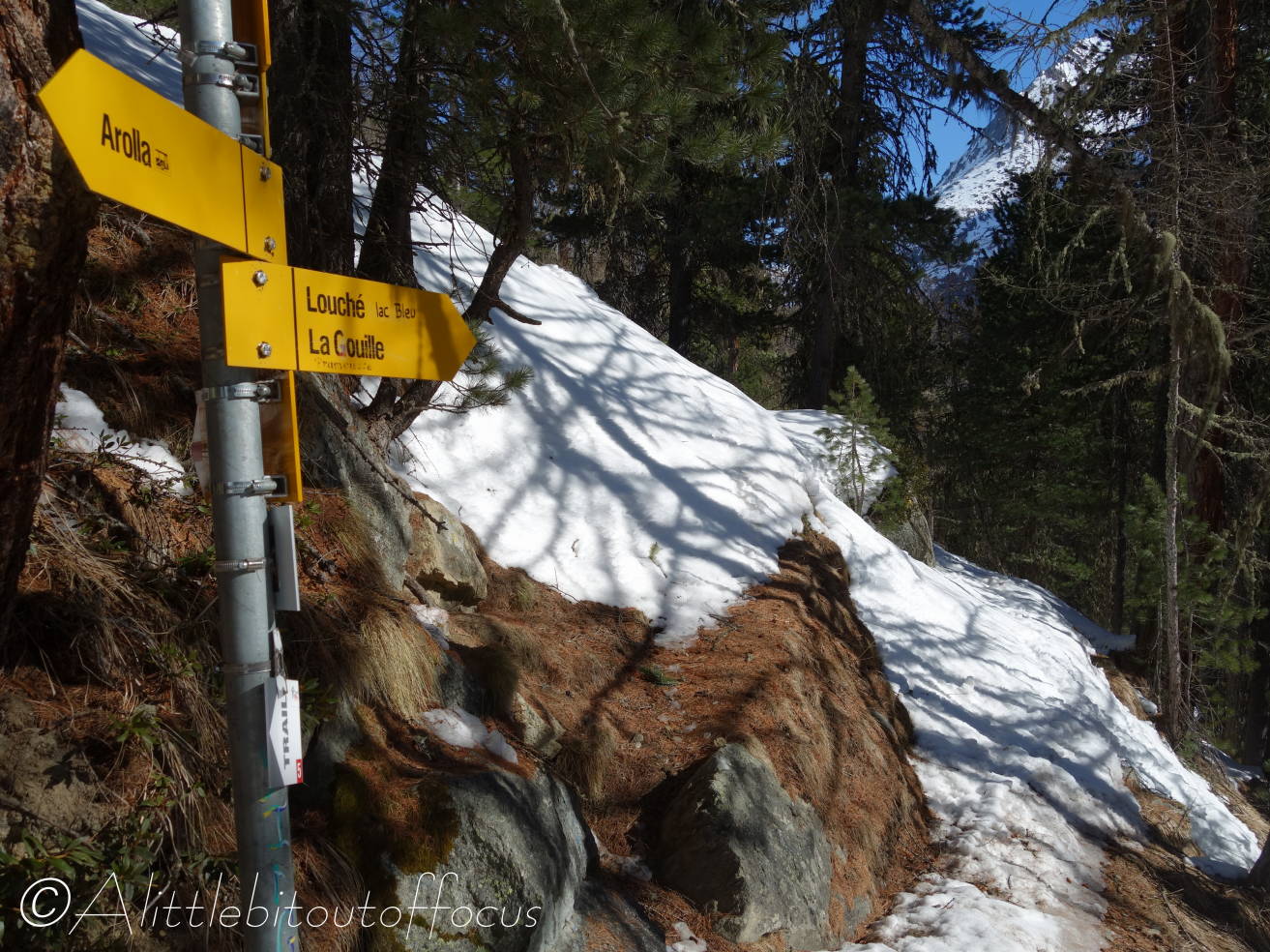
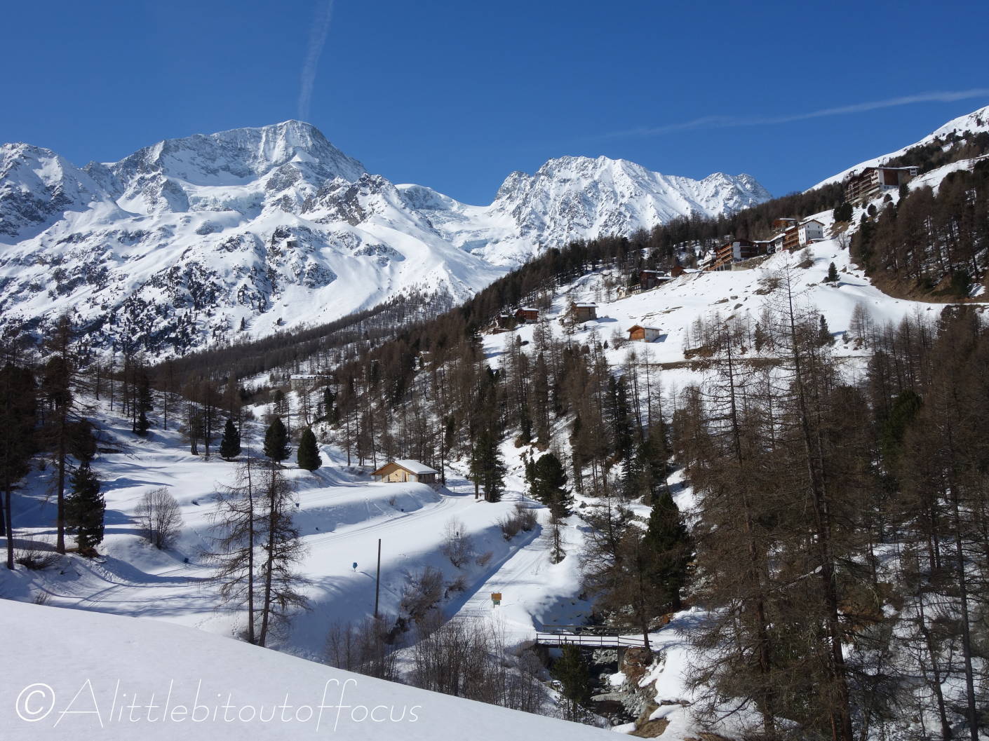
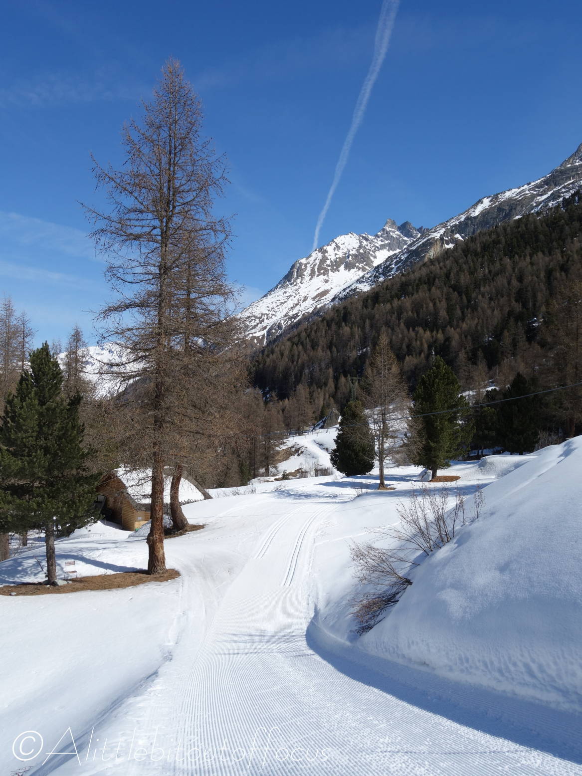
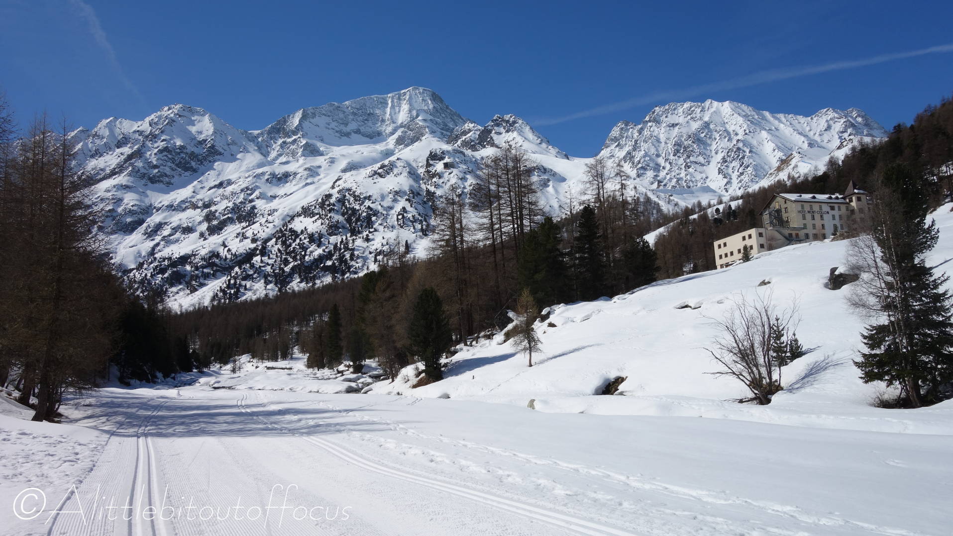
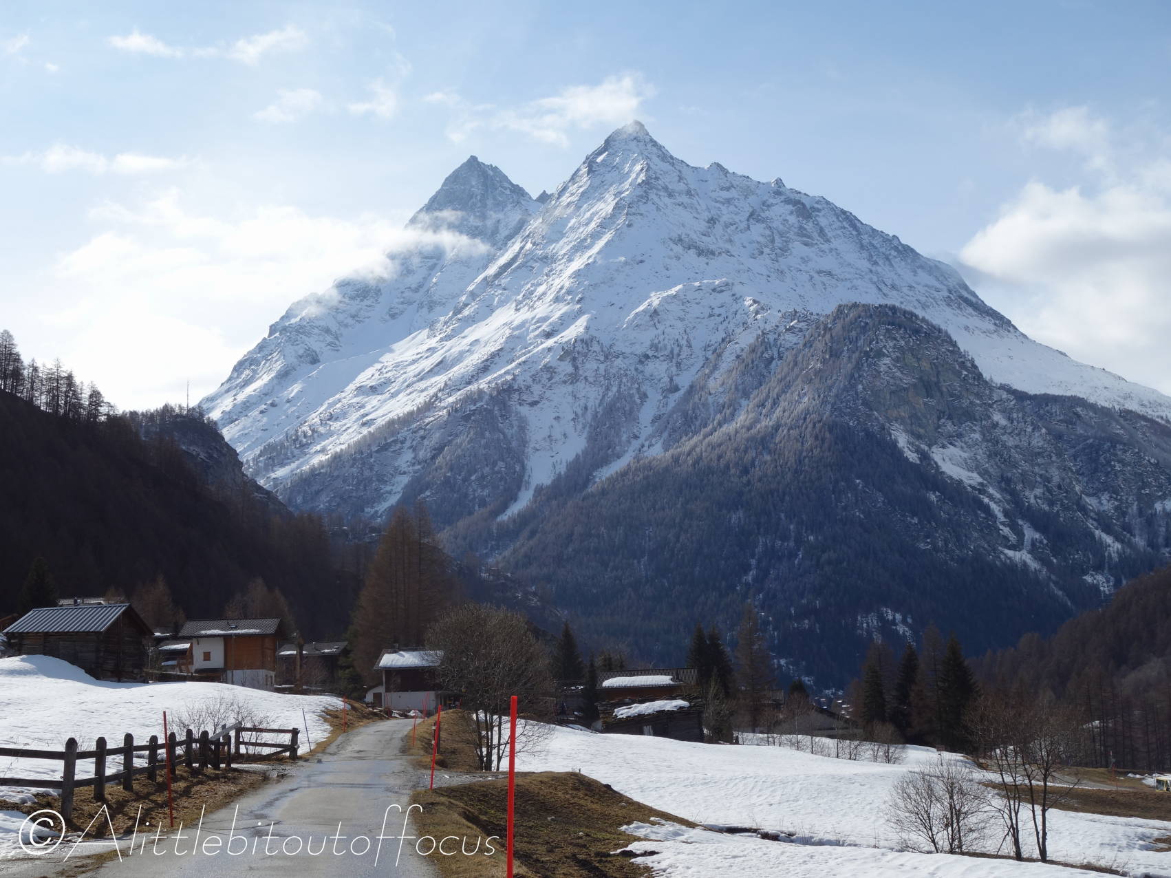
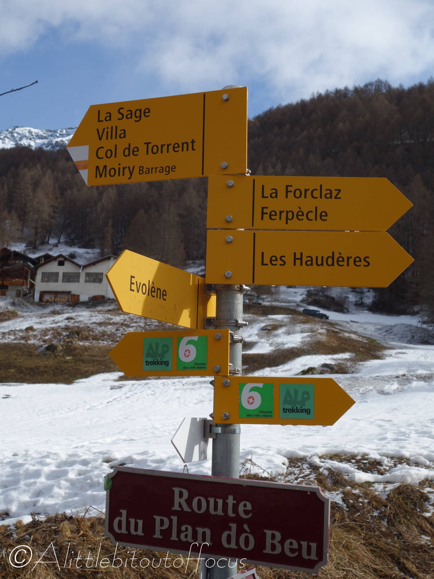
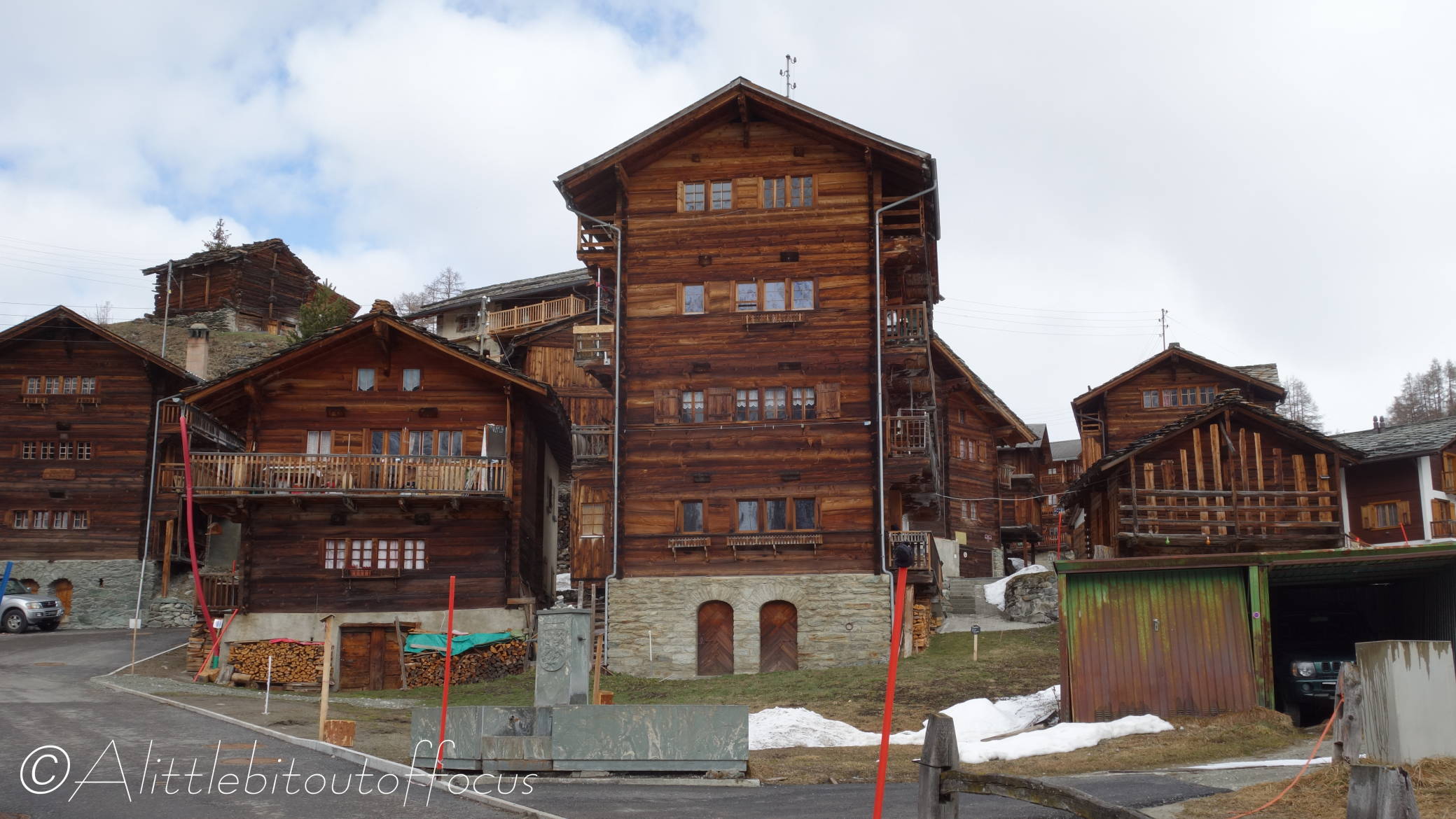
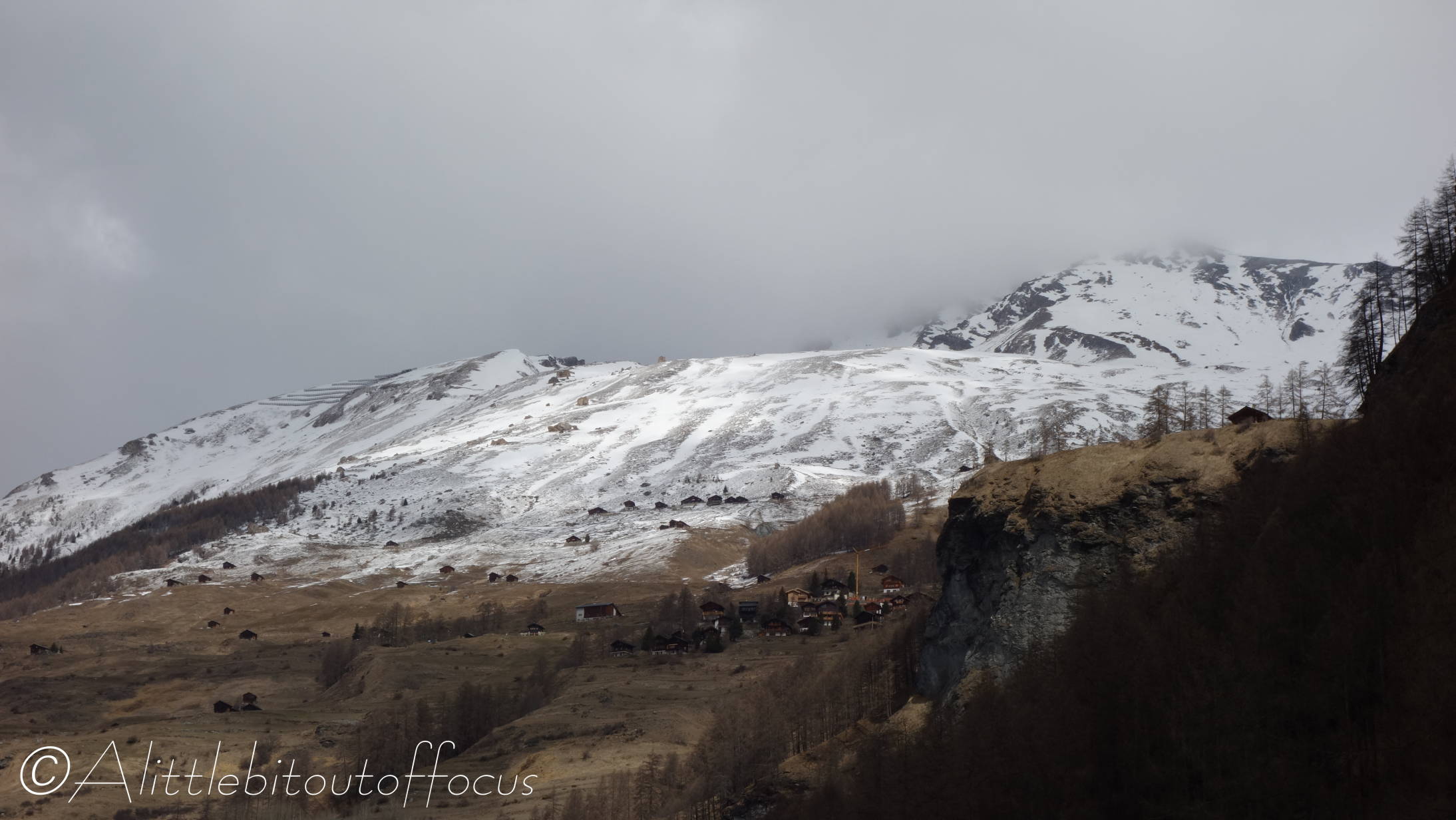
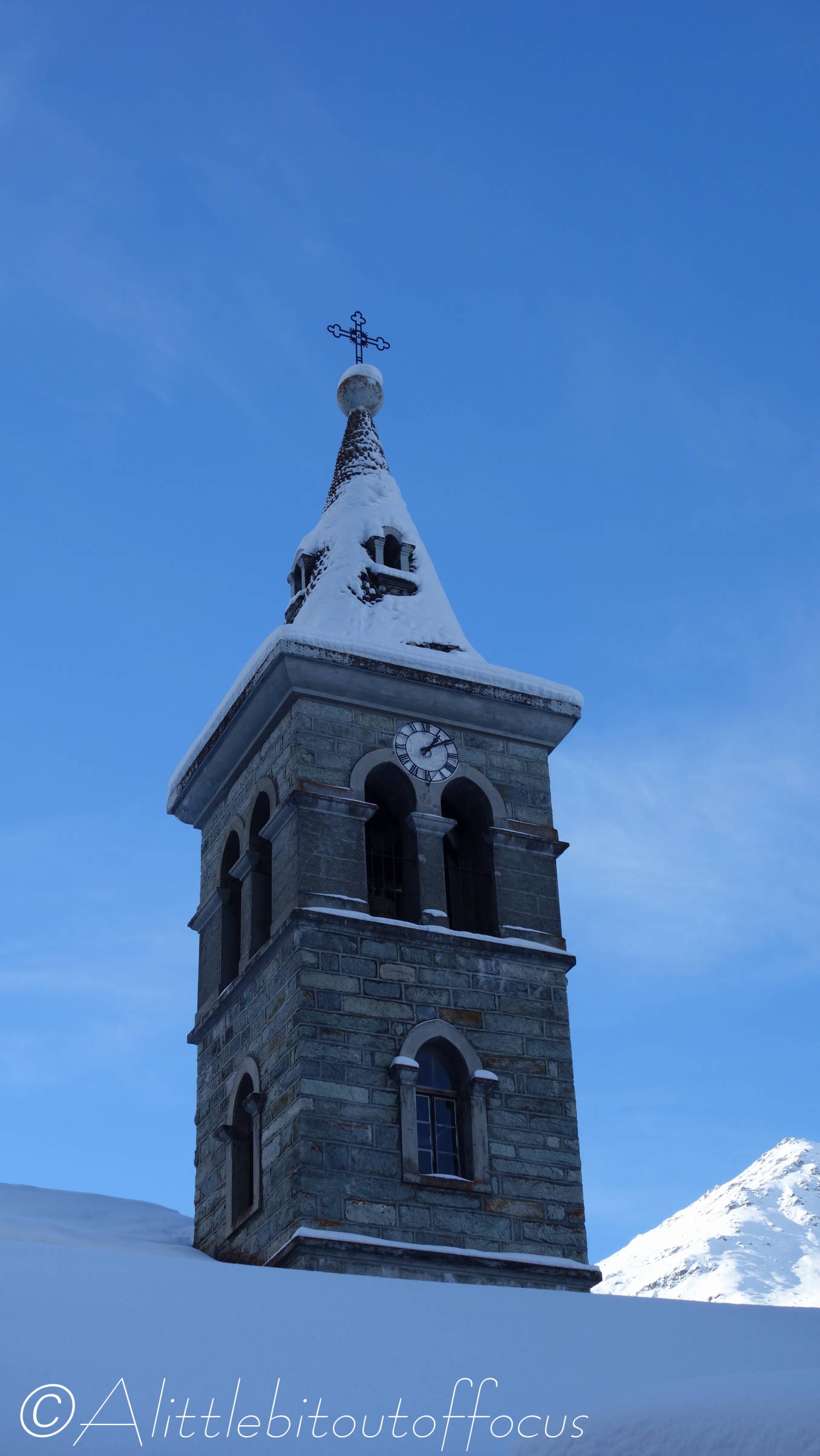
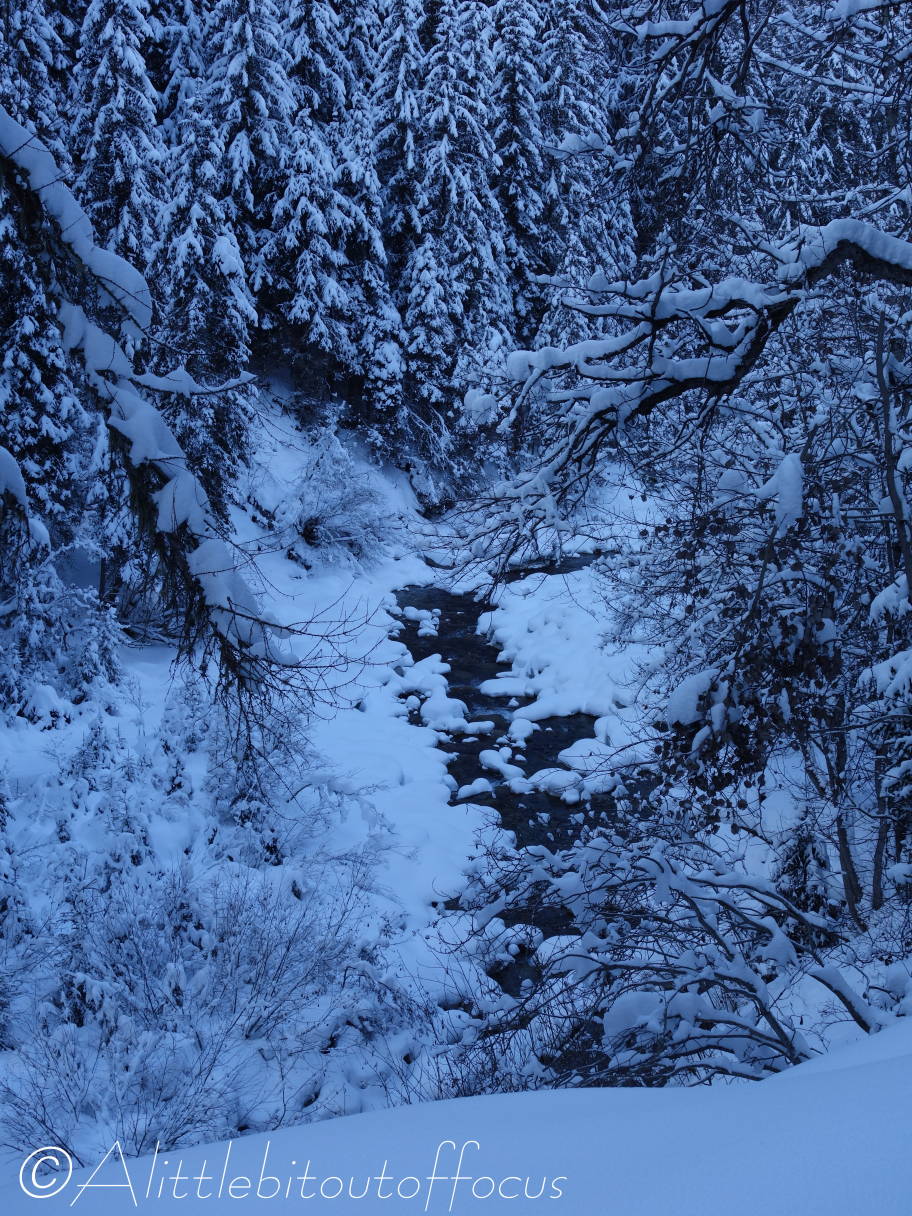
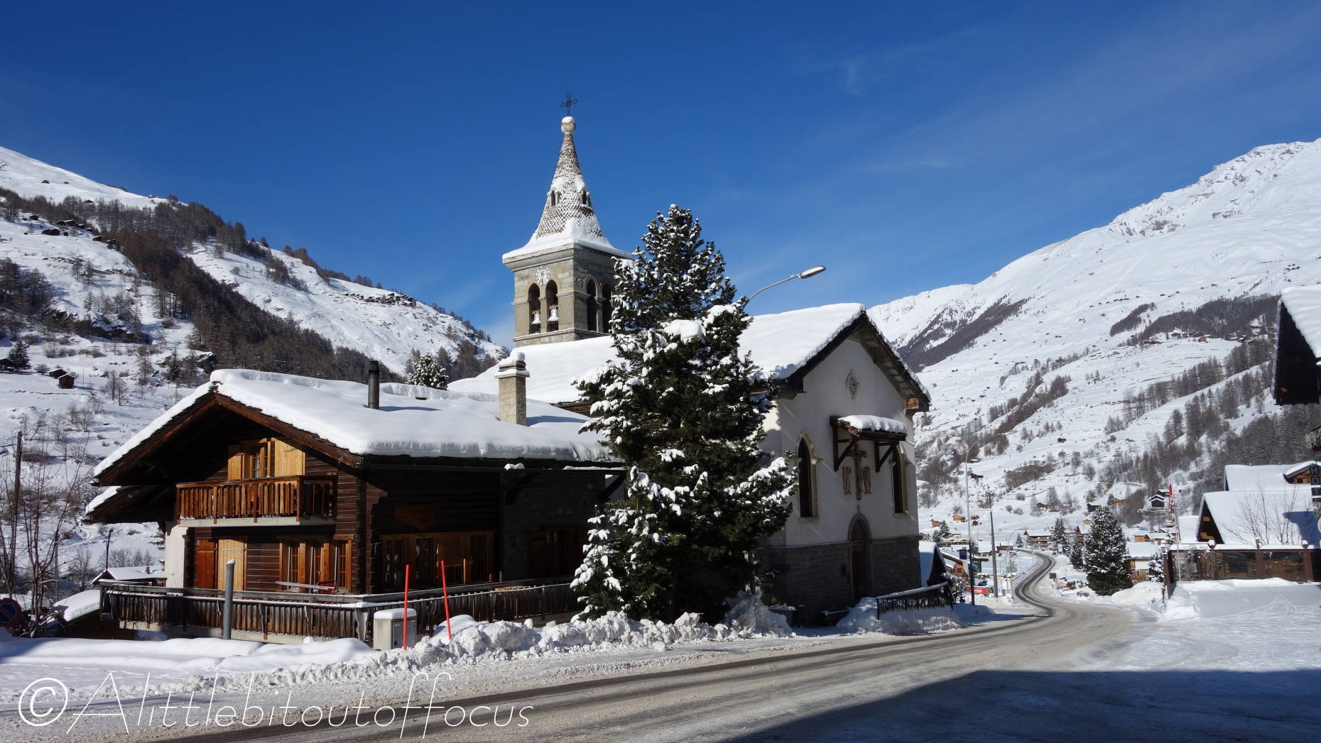
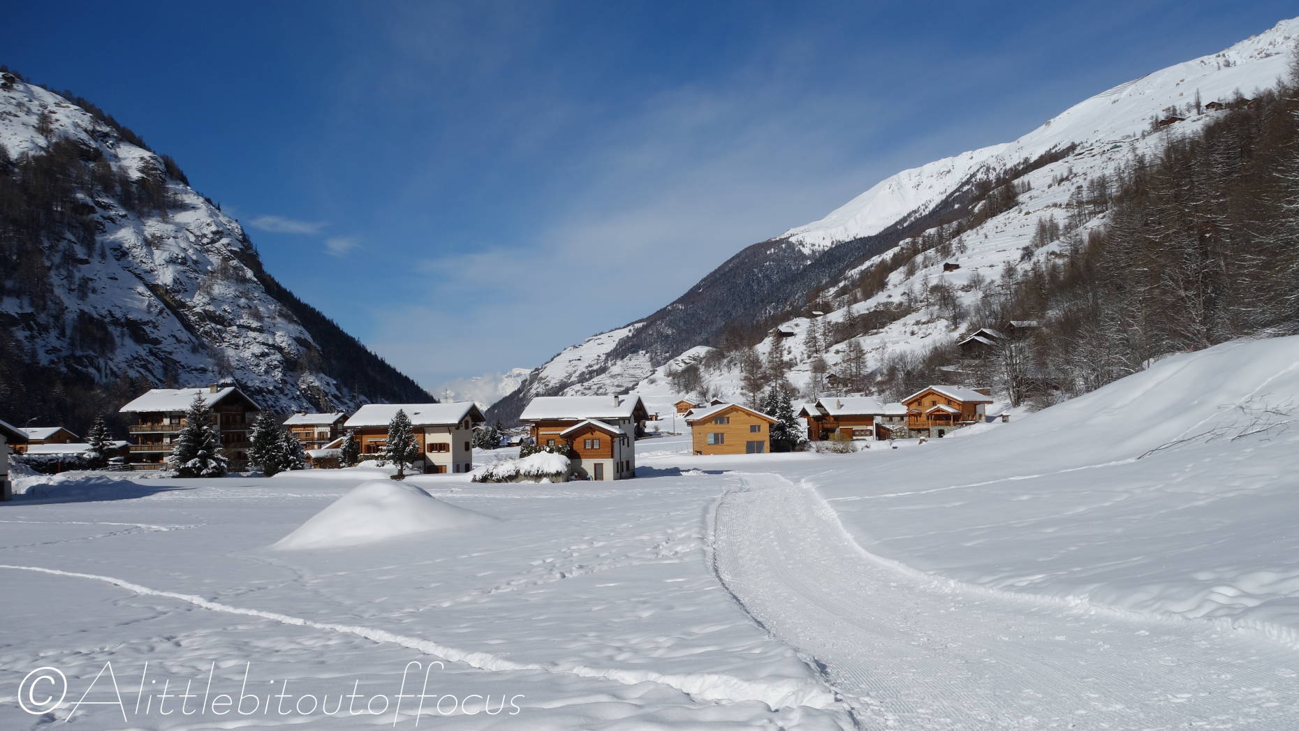
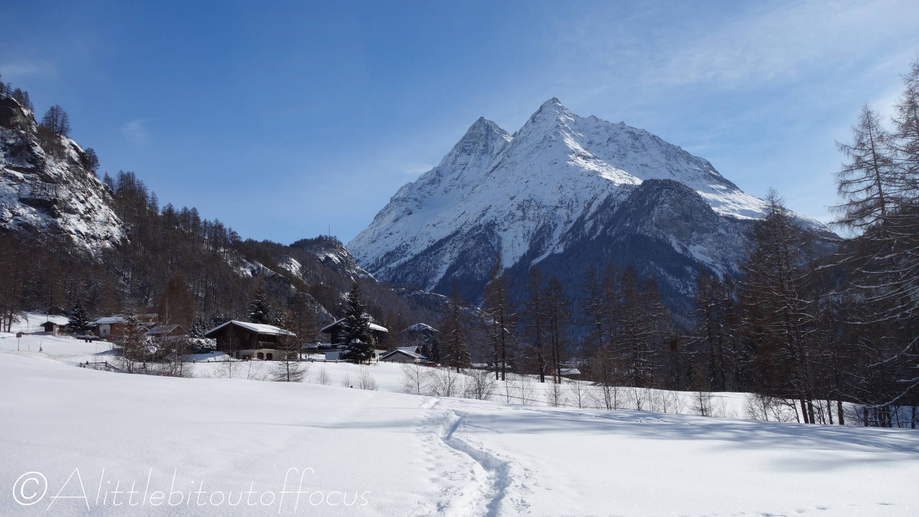
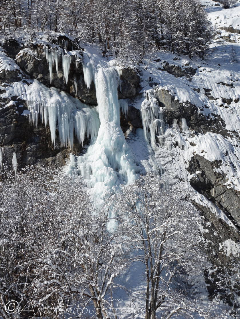
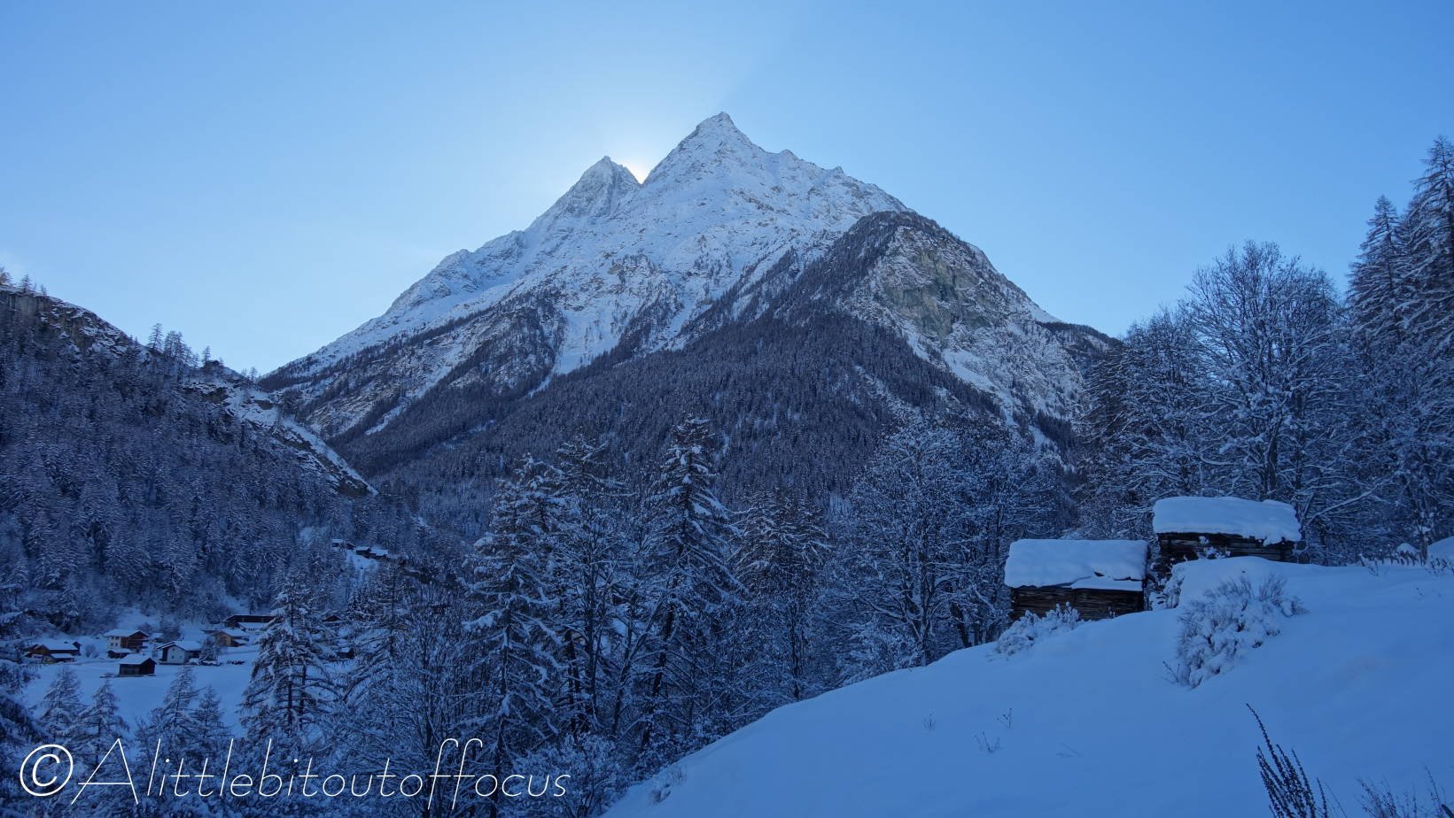
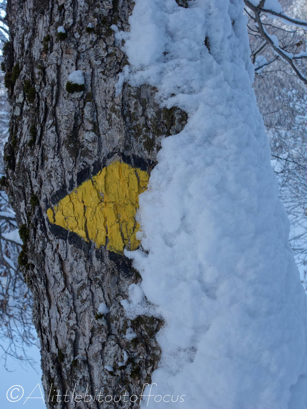
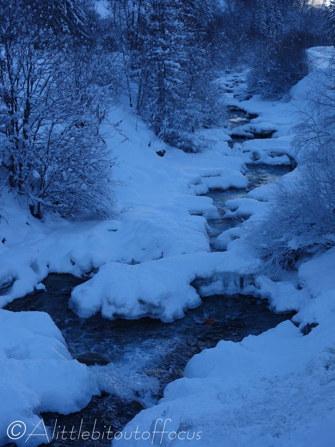
Note that the last 3 photos below were taken on the way back to Evolène.

Snowy walk around Arolla, Val d’Hérens, Switzerland

By stark contrast to the Spring-like conditions of my post yesterday, the situation up at the top end of our valley, in Arolla (@2,000m or 6,560ft) couldn’t be more different. The snow is still 60cm or 2ft deep in places and, on Sunday, the place was over-run with skiers getting their end of season fix.

My plan was to walk the last of my “Easy” walks (Walk 10) from Arolla to Lac Bleu, but I soon discovered that the path was hard to find. (Note to self – take the GPS next time!) Picture 4 below shows the signpost where I was due to turn left. I thought twice about it, but persevered. About 20 minutes later, having seen no way markers for the past 10 minutes, I gave up and came back to the same junction and went right.

This lower path was meant to be a snow-shoeing route but, again, I somehow managed to get off the official route and found myself facing a trudge across an open snow-field with a slope of at least 45 degrees from up left down to the right. Now, almost every week we hear of people dying in avalanches, so, with the sun blazing down, I wasn’t going to risk adding to that statistic and I made my way, very carefully, down to the road under the ‘cover’ of several bushes and trees.

“What now?” I thought to myself and, rather than walk back along the road, I headed across to the other side of the river and followed the snow-shoeing route, before taking a rather cheeky short cut across the cross-country piste back to Arolla. At least it gave me the chance to take some more photos for you. 😊

I shall return later this coming week, with GPS in hand, to complete Walk 10 (if I can).

Walk to La Sage, La Forclaz and Les Haudères from Evolène, (Walk 6), Val d’Hérens, Switzerland

As expected, we did get some overnight snow, but it was only a very small amount down to around 1600m or 5,250ft. So, while the underfoot conditions were favourable, I decided to pick off another of my ‘Easy’ walks – no. 6 to Les Haudères, via the villages of La Sage and La Forclaz. (This leaves only walks 8 and 10 to do, if I can, before this ‘winter’ is over).

As you will see from the gallery below, the walk started brightly enough, but the clouds soon came along to make things a little tricky for my point and shoot camera. (I’ve had to lighten a couple of the images). But, I hope you enjoy the walk as much as I did. 😊

Winter Walk, Arolla valley, Val, d’Hérens, Switzerland

Last week, Jude and I went for a drive up to Arolla to do a walk up the valley. We knew that heli-skiing (and heli-boarding) had become popular, but even we were surprised to see not one, but three helicopters waiting to take their clients high into the mountains. We were lucky in that 5 people arrived just as we got to the first one and soon they took off. (See pics 4 & 5). On our return another group arrived and a second (pic 7) soon disappeared over the horizon. As we made our way back through the woods, it seemed like only a matter of minutes had elapsed and the 5 in the first group came whizzing by, obviously eager to take off for at least a third time!

La Forclaz via Sépey from Les Haudères (Walk 9), Val d’Hérens, Switzerland

It seems I was wrong in my post yesterday and the snow is expected to fall over the next 3 or 4 days… Fortuitously this meant another sunny day for me to pick off another walk from my list. I didn’t want to take the car, so I decided to walk to Les Haudères from our home in Evolène. As you will see there’s still plenty of snow around and it’s only going to get deeper!

Borgne Riverside Stroll in Winter (Walk 2), Val d’Hérens, Switzerland

After another morning of light snow yesterday, today was bright and sunny. So I set off to do a variation on my Walk 2, by taking the alternative, higher path on the far side of the river, all the way from Evolène to Les Haudères. The lower track is pisted for the cross country skiers, so signs are in place to direct you away from walking along there.

As you will see from the pictures below, I wasn’t the first person to walk along that route. And indeed, there seemed to be quite a few people out and about today, getting their daily exercise.

Also have a look for the Dipper (in pic 5). It’s standing on a stone to the left of the ‘steamy’ river – directly above the second f in the …outoffocus watermark. And I hope I’m not the only one to think that picture 22 looks like a stag. 🤔

Ferpècle Valley Walk, Take 2…

Following on from my slight ‘mishap’ yesterday, I returned to the same car park, at almost the same time and set off to do the same walk but, this time, with a memory card in my camera! The only real difference was that my car told me it was -13 degrees C (8.6 F) instead of -11 C (12 F). Though, rather strangely, it felt warmer.

Anyway here are the photos that you (and I) missed yesterday. And, since I mentioned taking a video, I’ve also included three videos. The second and third have 2 or 3 clips stitched together to save you opening several links. If you want to see how far I got this time, I suggest you view video 2 before 3… 😉
(There is a bit of wind noise on the last clip, but it wasn’t very windy at all).

Never let it be said that you don’t get value for money on this site!! 😊