Alittlebitoutoffocus
Walks in the Val d’Hérens
Blog
About
Contact
Garden Butterflies (Llanfyllin, Powys, N. Wales)
July 11, 2026
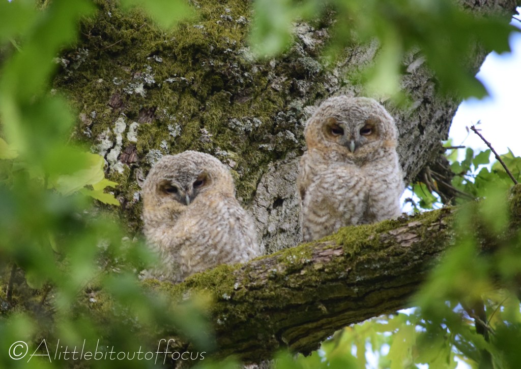
The story of the baby birds… (Llanfyllin, Wales)
June 11, 2026
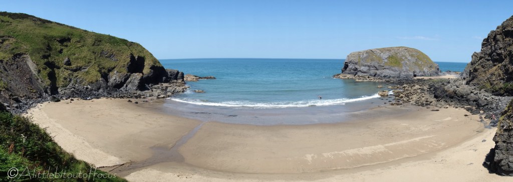
Butterflies around Morfa Isaf, Nr Llangrannog, Ceredigion, Wales
June 3, 2026
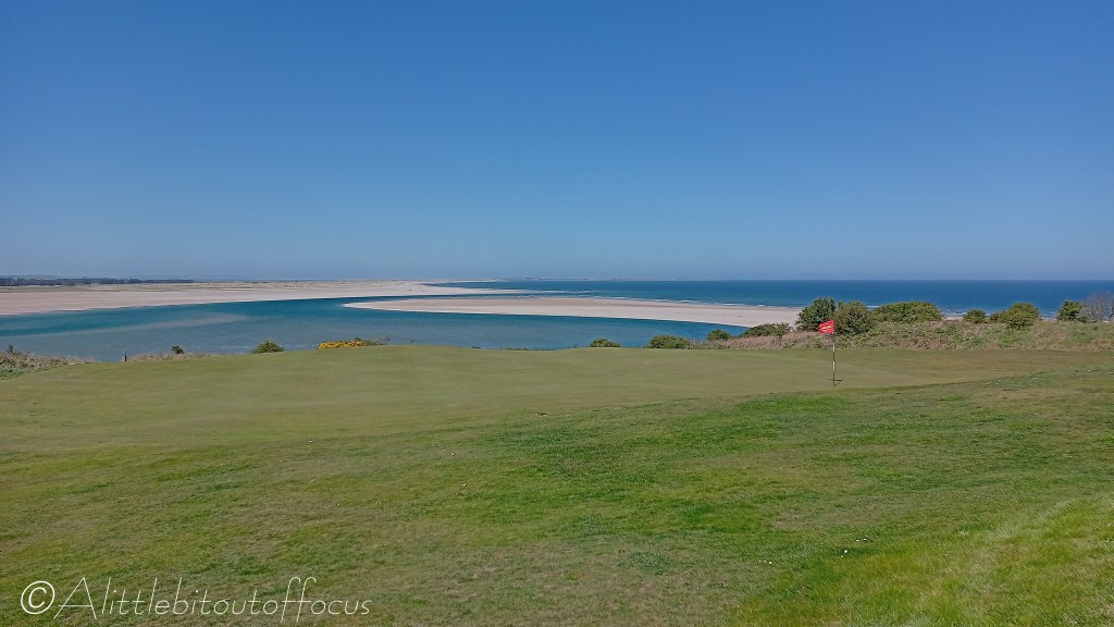
Walk to Ross Back Sands around Budle Bay, Northumberland, England
May 13, 2026
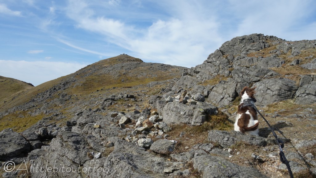
Arenig Fawr Walk, Eryri (Snowdonia) National Park, North Wales
April 12, 2026
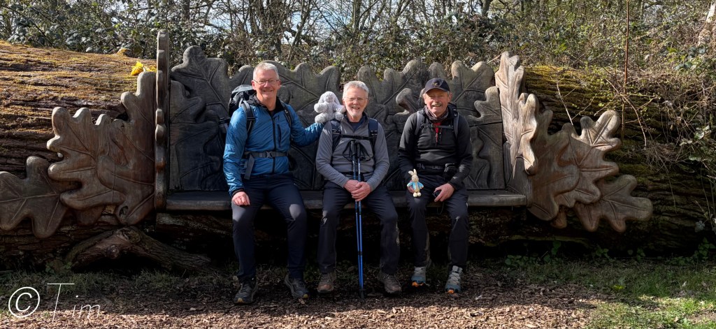
Wychwood Way, Oxfordshire, England (Day 3 of 3) Woodstock to The Bird in Hand, Whiteoak
April 11, 2026
Next Page
Loading…
Search here to find a specific post or content:
Search
Subscribe: Please enter your email below to receive updates.
Type your email…
Subscribe
Subscribe
Subscribed
Alittlebitoutoffocus
Join 795 other subscribers
Sign me up
Already have a WordPress.com account?
Log in now.
Alittlebitoutoffocus
Subscribe
Subscribed
Sign up
Log in
Report this content
View site in Reader
Manage subscriptions
Collapse this bar
Notifications
%d