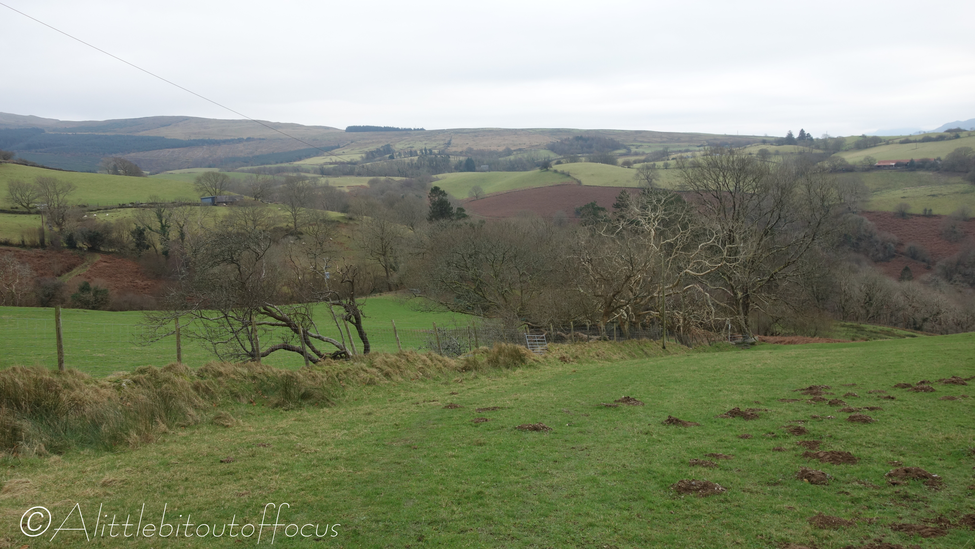
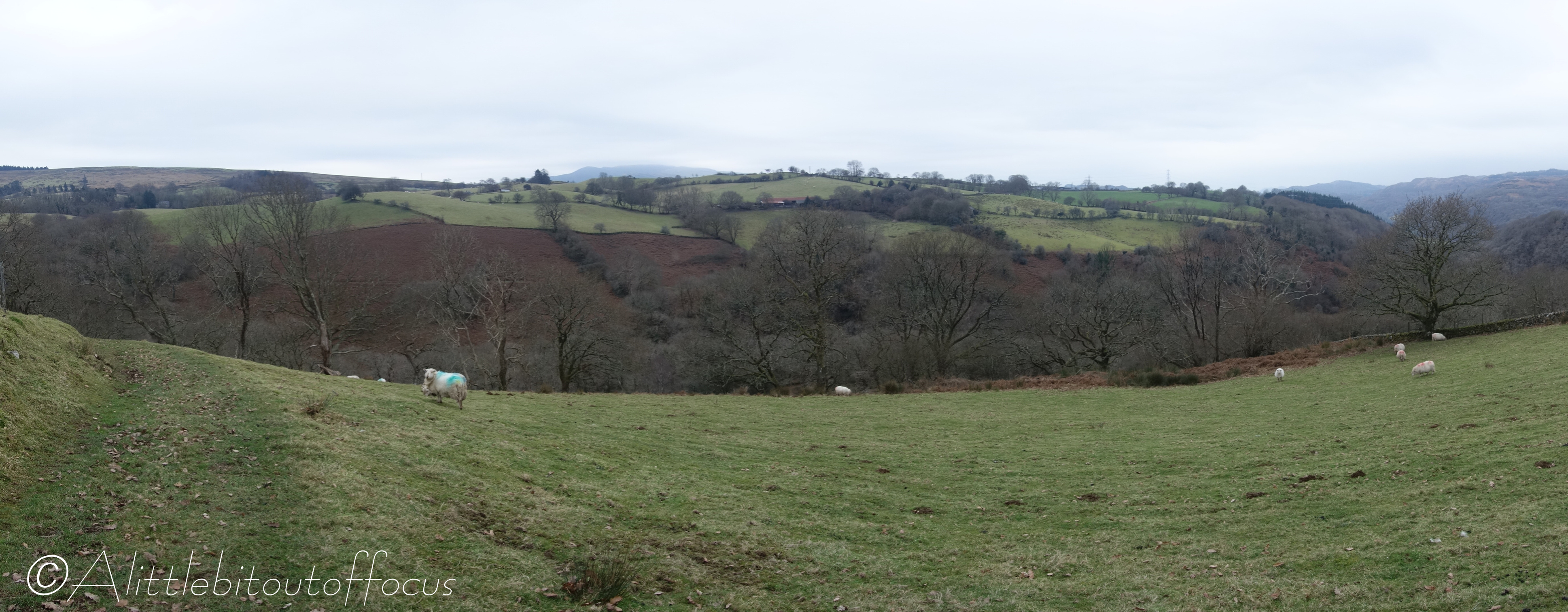
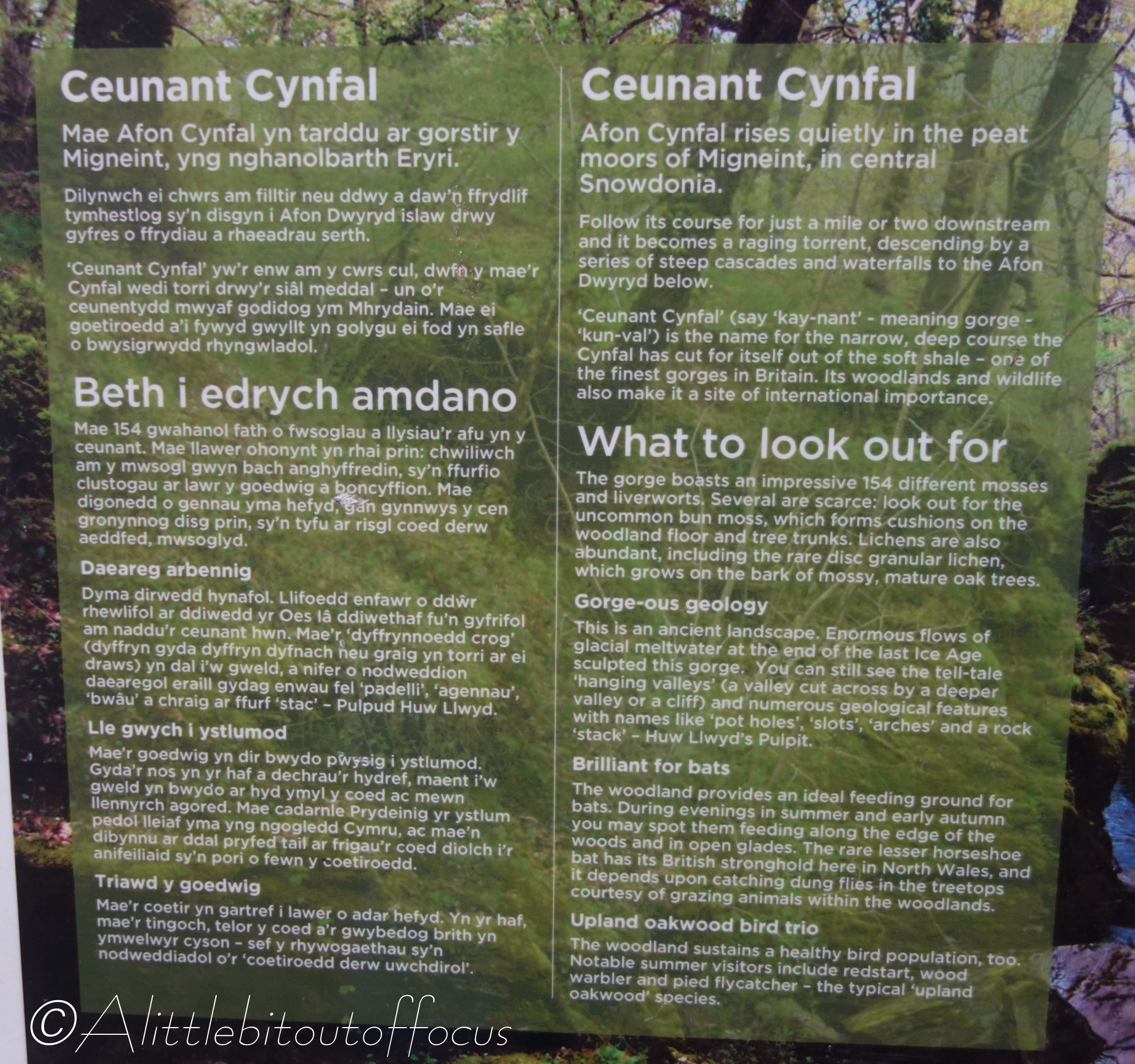
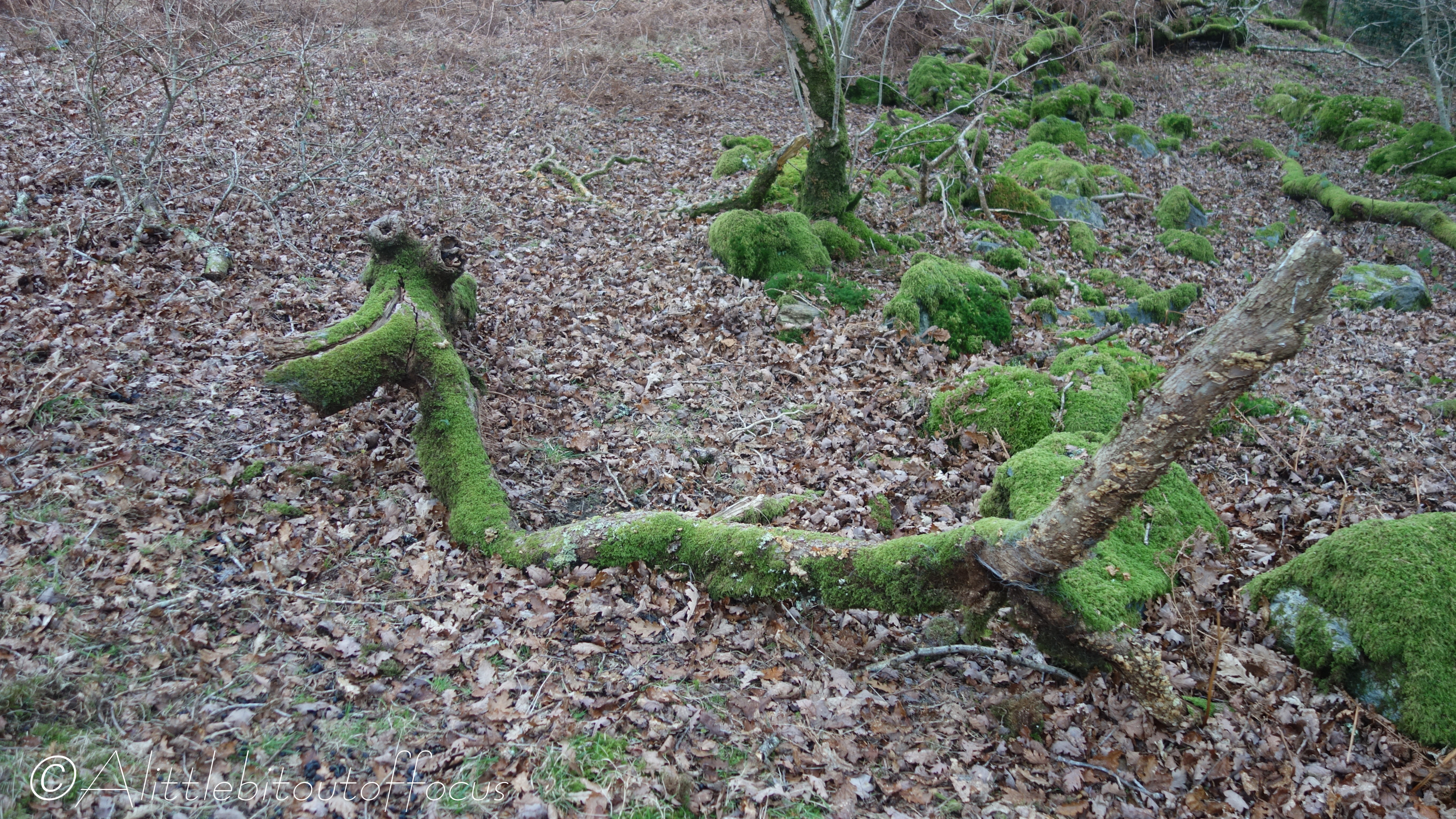
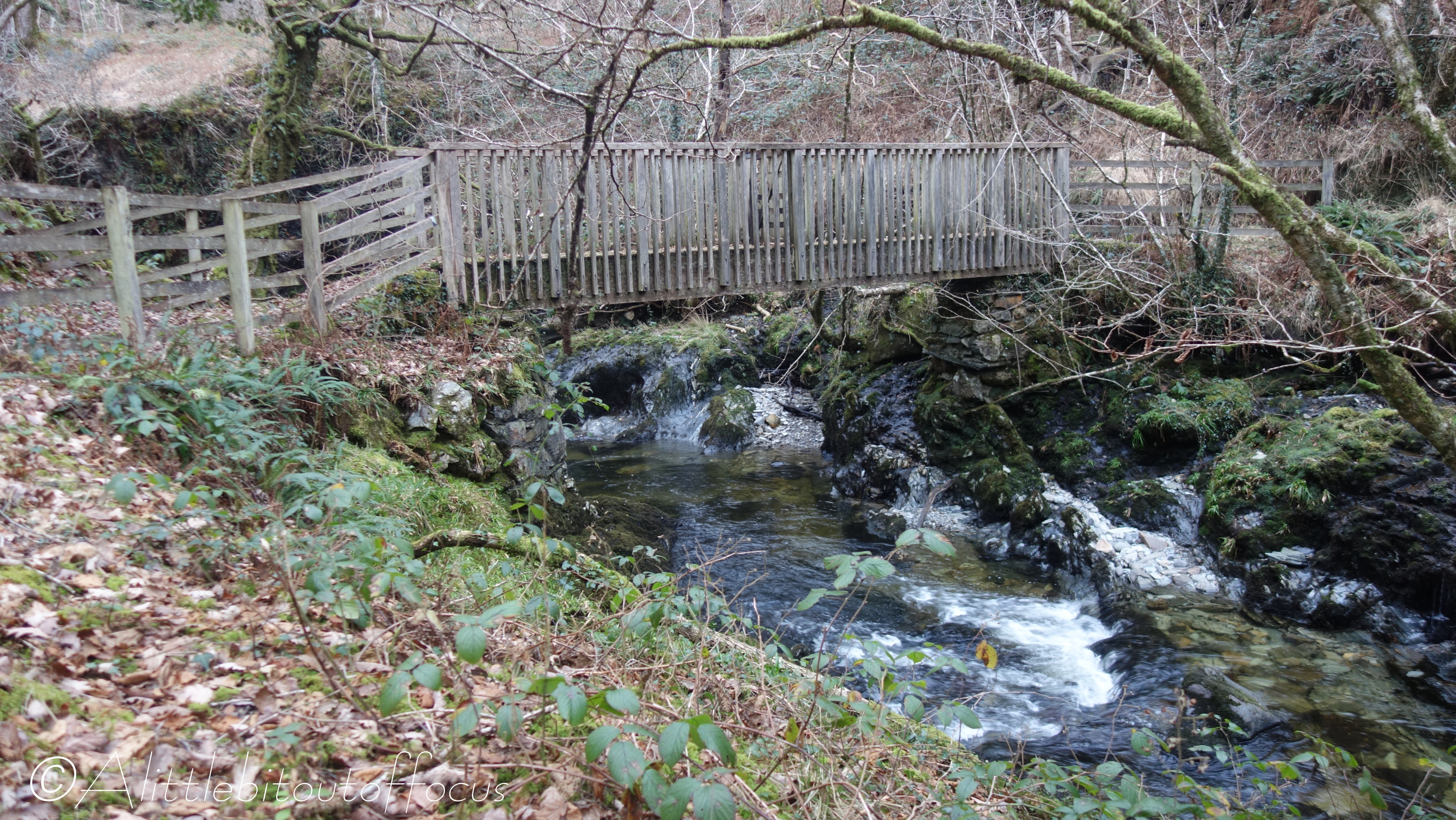
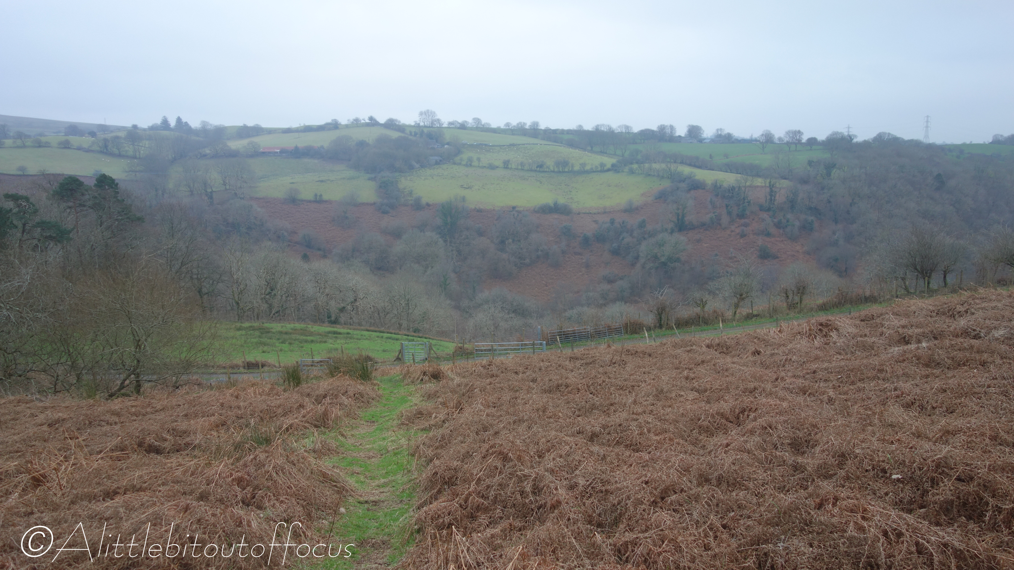
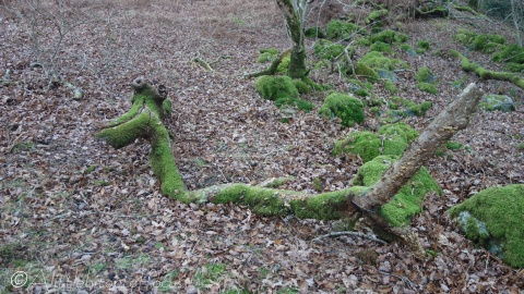
Elter Water from the New Dungeon Ghyll Hotel, Lake District, England

Following on from our walk up to the top of Side Pike yesterday, Jude and I decided to head in the opposite direction, along the Cumbria Way, towards Elterwater. It was absolutely freezing when we set off and we soon discovered some rather interesting ice shapes en route. See pics 1, 3 and 6.

Another rather bizarre discovery was a frying pan on the hill near Oak Howe. (See pic 13). This is not the first time I’ve come across a pan. See here for a saucepan left behind in the woods near our previous home in Evolène, (pic 13). I would bet that it’s still there!

After a fine lunch in the Britannia Inn (I highly recommend the roast pork sandwich 😋) we left the village of Elterwater and continued on the Cumbria Way, alongside the river, to have a look at Elter Water – that is, the lake of that name. (See pic 21).

Now here’s an interesting fact: Despite the Lake District being called the Lake District, only one of the 19 or so major bodies of water is actually called a lake and that is Bassenthwaite Lake. Like Elter Water, some of the others, for example, are called Windermere, Rydal Water, Brotherswater and Haweswater Reservoir. Strange but true.

Now since the return to our hotel would be more or less the same way, we decided to catch the bus! But, fear not, I shall be covering that section in a slightly different way again tomorrow… 😊

Side Pike from the New Dungeon Ghyll Hotel, Lake District, England

Many of you will no doubt already be aware that the west of Britain is generally much wetter than the east. (It’s something to do with “relief rainfall” and the prevailing winds largely coming from the south west). So it was with some trepidation that Jude and I took advantage of a 5 night Winter Special break at the New Dungeon Ghyll Hotel in the Lake District. We simply expected to swap Welsh rain for English rain, but we couldn’t have been more wrong! The weather, as you will see below (and in the 2 following posts), was bright and sunny, but very, VERY cold!

Our first walk would take us up to the pass between Great Langdale and Little Langdale and then to the top of Side Pike. At 362m or 1,188ft, it’s only a small ‘mountain’, but it affords fabulous views over both of the Langdale valleys. Our return would take us back down to the Old Dungeon Ghyll Hotel (for a quick refreshment 🍺😋) and then along the Cumbria Way to our hotel, which was warm and cosy and had the most wonderful staff.

Llandanwg Estuary, Gwynedd, N. Wales

I mentioned some time ago that I might just drop in the odd single photo and so here we are…

Jude and I went for a walk along Llandanwg beach this afternoon. The weather recently has been very cold, but we’ve had very little wind and the sun was shining brightly today. The river (afon) Cwmnantcol comes out at Llandanwg and forms an estuary behind the main beach. The tide was in and the snow covered Rhinog mountains proved and ideal backdrop to the boats moored on the estuary.

Portmeirion, Gwynedd, North Wales

I’ve mentioned a few times that our house looks over an estuary towards the tourist village of Portmeirion. (See banner picture at the top of the website – which now includes a winter view taken this morning). I went there many years ago, but have not been since arriving back in the UK. That is until last weekend, when they were hosting a Food and Craft Fair. Entry to the village was a tad cheaper than normal, so I thought I’d take advantage and have a look around (not to mention taking a few photos to post of course! 😊).

Portmeirion was the brainchild of Sir Bertram Clough Williams-Ellis. He was an architect and he essentially designed the whole village, often using bits and pieces from other dilapidated or demolished buildings. The land was acquired in 1925 and the village was pegged out and the most distinctive buildings erected between then and 1939. Between 1954 and 1976 he filled in the details.

Though, I have to say that it’s not all about the buildings, as the grounds, “The Gwyllt”, are also a delight, with woodland trails set out for visitors, both young and old, to enjoy. Many of the trees and shrubs originate from all around the world. (See pics 23-27).

The village is recognised worldwide as the setting for the cult 70’s TV series The Prisoner. The Round House, where No. 6 lived, is now a shop selling memorabilia.

As you will see, it wasn’t the brightest of days for photography but, given the huge number of visitors that day, I’m amazed that the images are almost people free.

Jervaulx Abbey and Kilgram Bridge from Middleham, North Yorkshire

Jude and I have just been on a week long break in a town called Middleham in North Yorkshire, which is mostly known for training race horses. Although we did wander up the road in the morning mist to watch a few thoroughbreds heading off towards the gallops, that wasn’t the main reason for our stay. It was simply to get away and have a change of scenery.

The weather wasn’t kind but on the one day that we were due to have our online Welsh lesson, the forecast was good! So off I wandered along a 10.5 mile route to Kilgram Bridge which, after 450 years, is reputed to be Yorkshire’s oldest road bridge (see pic 18) as well as the Cistercian Abbey at Jervaulx, which was established in 1156. Not only that, but it took in Wensleydale’s oldest church, St Oswald’s at Thornton Steward (see pics 22-25) and Danby Hall, an Elizabethan manor house (pic 27). Also, by rather strange coincidence, it went by St Simon’s and St Jude‘s church at Ulshaw (pics 28 & 29).

But even more interesting to me was the door handle of the pub at Cover Bridge. See pic 32. The handle itself was fixed solidly to the door and there were no knobs to turn or ‘snecks’ (as we call them in Yorkshire, i.e. catches) to lift up. So how does one enter the establishment? Suggestions in the Comments please… I’ll reveal how it’s done in due course… (I love a good puzzle!)

Gwydyr Forest Walk from Betws-y-Coed, Conwy, N. Wales

My good friend, Liam, decided to take a short break in the Snowdonia National Park and, last week, we met up to do a short walk (of approx. 4 miles) around the Gwydyr Forest, starting from Betws-y-Coed. As you will see from the route map and photo gallery, it was a circular walk, taking in the very tip of Llyn (lake) y Parc, lots of forest paths and several waterfalls.

I hope you enjoy your virtual visit to this small, but very beautiful, part of North Wales.

Technical note: I’d noticed that my photos were appearing quite small on the screen. I think this is because I was shrinking them to around 350kb, to save space and allow them to be loaded quickly. So this time, I’ve shrunk them to around 1Mb in the hope that the gallery ‘experience’ is much better. Please let me know if you have difficulty loading or seeing them and I’ll revert to the smaller format.

Rainbow(s), Dwyryd Estuary, N. Wales

I’ve dubbed it the rainbow season as, at this time last year, we saw more rainbows than I think I’ve ever seen in my life (and that’s a long time!) After the gale force winds and torrential downpours of yesterday, we awoke to relative calm. The clouds, albeit grey, were high and Hebog, Snowdon, Cnicht and the Moelwyns were all clearly visible. And then, of course, it rained…

In the pics you can just about make out a second rainbow on the outside of the main one.

Walk from Ynys to Llanbedr, Gwynedd, N. Wales

Yesterday my wife, Jude, had a crochet lesson from 1:30 to 4pm at the Village Hall in Llanbedr. So I worked out a route which would take me there, via a ‘scenic route’, from our home in Ynys. As you will see from the pics below, the day started brightly but the clouds eventually won over.

Once inland, I had a few options for getting to my destination and I thought I was doing the right thing by taking the ‘direct’ route via Ffridd Farm, along part of the Ardudwy Way… Wrong!! The map had the path heading directly south through 2 of the farm buildings… (see pic 22). All went well there and I found a gate on the other side but then I was stopped in my tracks as I peered over a sheer drop of about 30 feet! (See pic 23). I looked to the right then left and there was no obvious path, so I took the lesser of the two ‘drops’ on the right hand side.

After climbing and then scrambling down, I was faced with a maze of waist high bracken with only the odd signpost to guide me through the damp and squishy valley floor. My GPS and OS map had me several yards off the official route, but eventually I found a stile to take me onto a more obvious path.

I do wonder sometimes who makes up these official paths or “Ways” and it made me realise why I’m not so keen to go out walking in North Wales. Oh, what I’d give to be back on those delightful paths of Switzerland!!

Snowdon (Yr Wyddfa) Walk, N.Wales

For the past few days we’ve had our good friend Arthur staying. I’m sure I’ve mentioned it before but, he’s an artist and a very good one at that. He’s a Member of the Society of Architectural Illustrators, so it came as no surprise when he walked across our estuary to paint a picture of Portmeirion, which is now posted on his website, here.

Anyway, he had never been to the top of Snowdon (Wales’ highest mountain at 1,085m or 3,560ft) so, on a reasonably clear day, with intermittent showers possible, we set off. We took the PYG Track from Pen-y-Pass to the summit, before descending to Llanberis along the path which runs, for the most part, close to the railway line. For some reason this is called the Llanberis path. 🤔 The top section of the track was closed for engineering works, so the summit was not as busy as usual. (See previous post pic here).

As you will see, we did get caught in a shower, but Arthur came prepared…

Walk from Barmouth to Llanbedr along part of the Cambrian Way, N. Wales

While most people in the UK were watching the funeral of Queen Elizabeth II, I decided to go out for a walk. It’s not that I wasn’t interested or sad at her passing (she was a wonderful woman), it’s just that I felt I had better things to do than sit in front of a TV screen for 6 or more hours. And as it turned out, I saw the final procession up the Long Walk (perhaps the most poignant bit) in the pub at Llanbedr.

As you will see the weather wasn’t great for photography, but it was what it was…

I should add that I paused at 11am at Bwlch y Rhiwgyr, (see pic 14), to show my respect, with a 2 minute silence. And it was a very peaceful moment, apart from the hum of a light aircraft overhead.