Moel Siabod from Capel Curig, Eryri (Snowdonia) National Park, North Wales

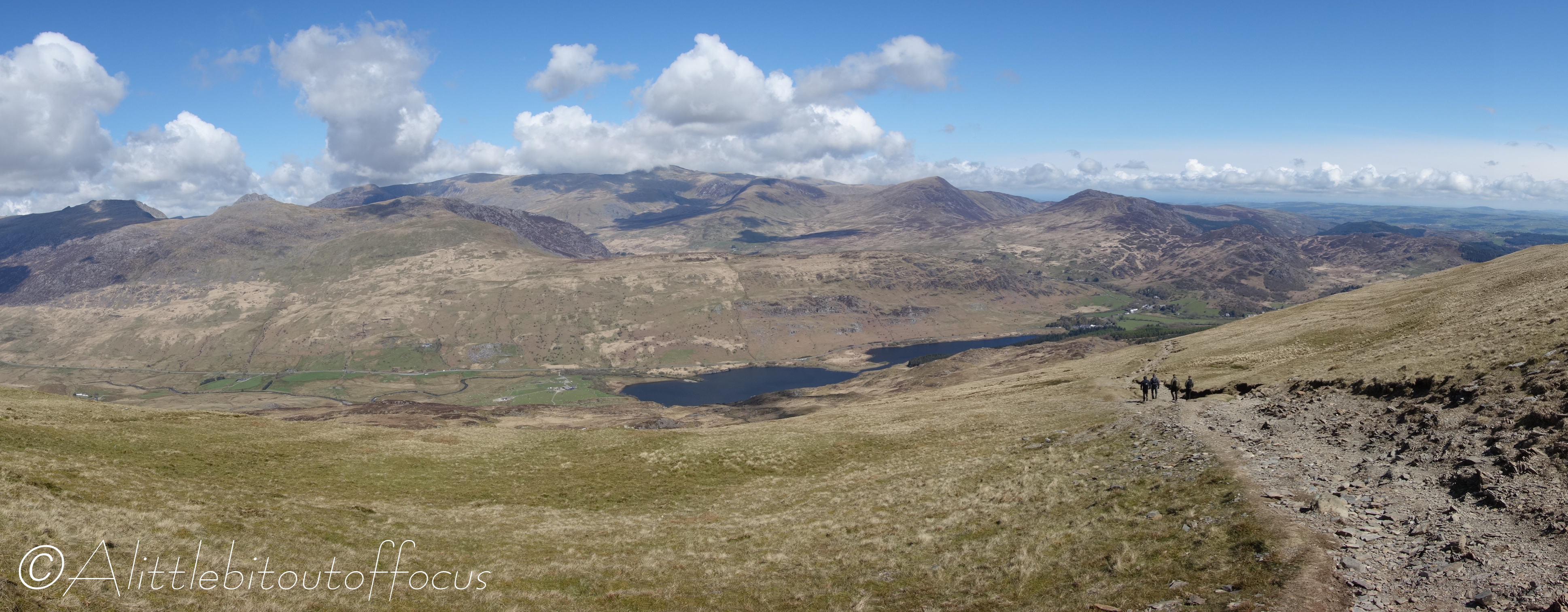
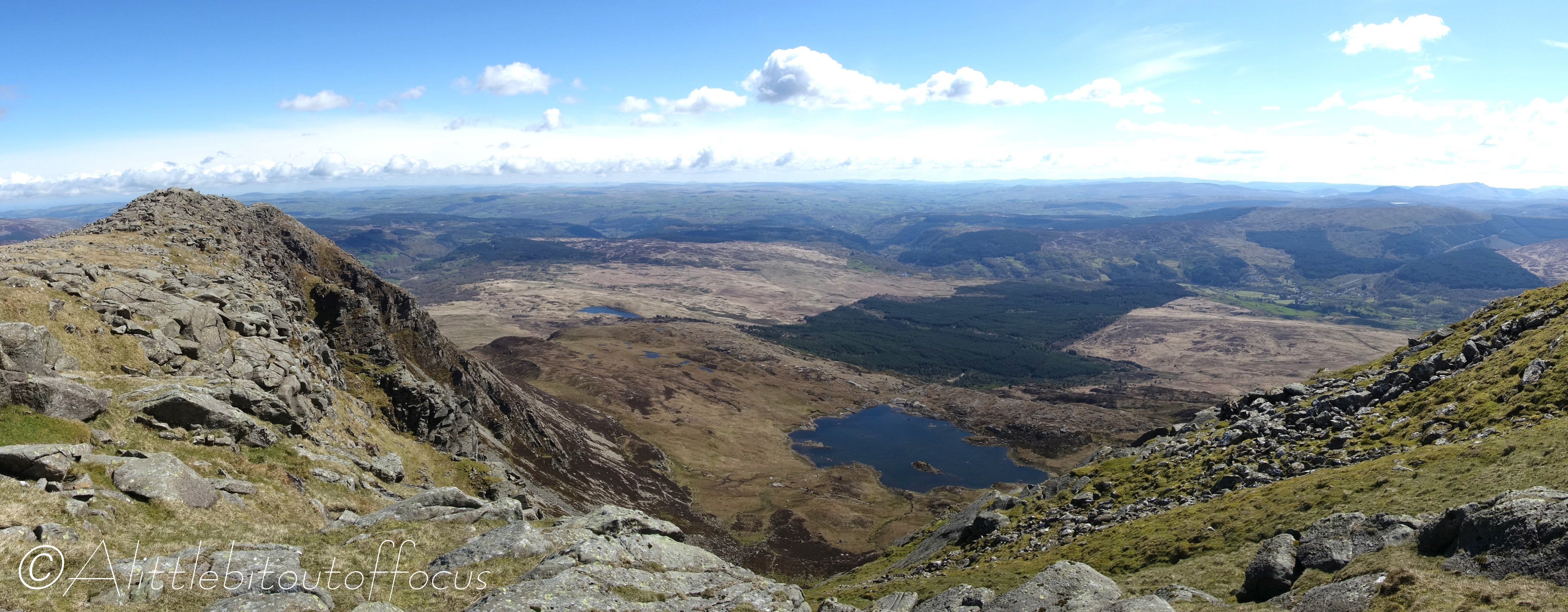
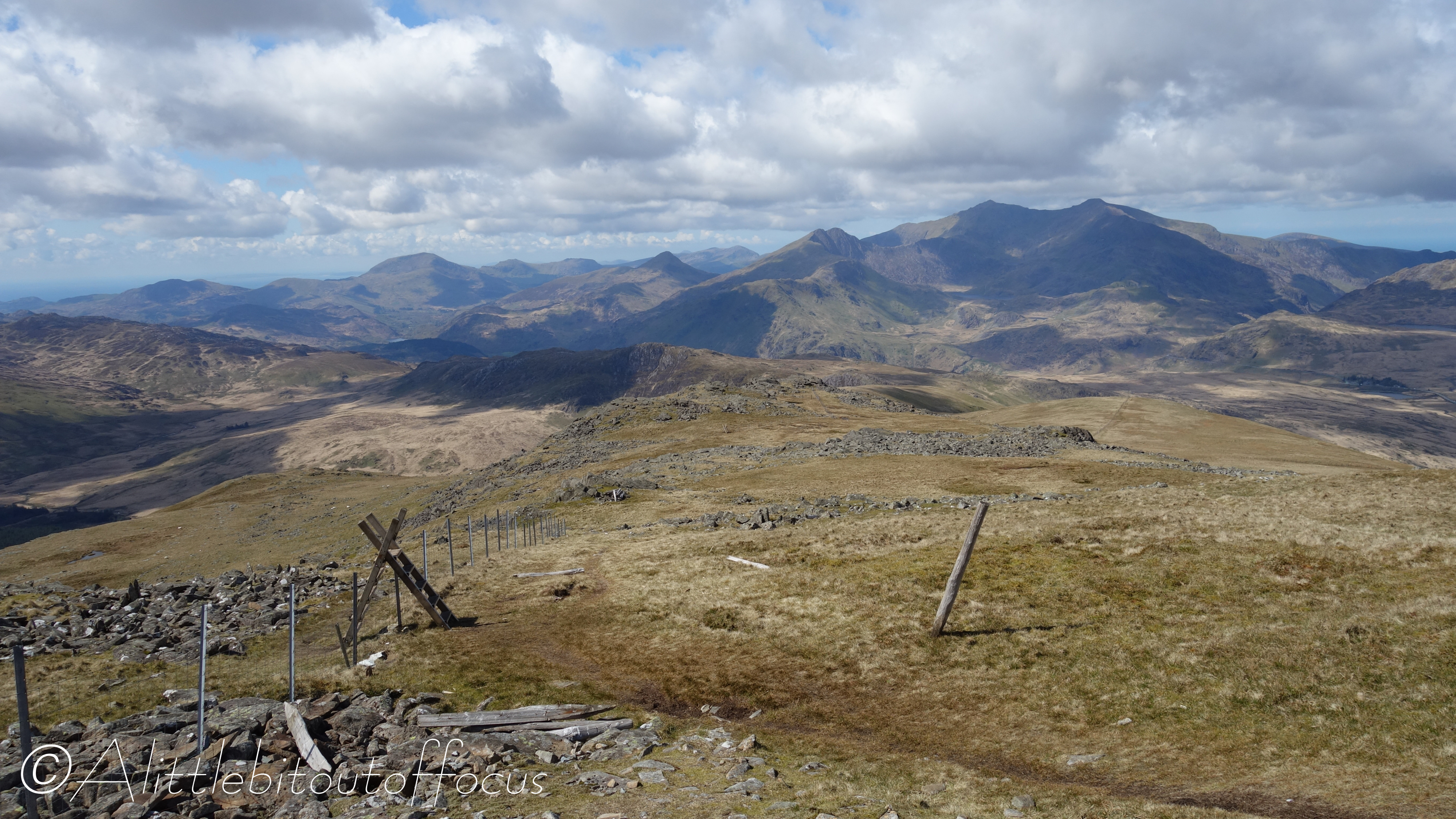
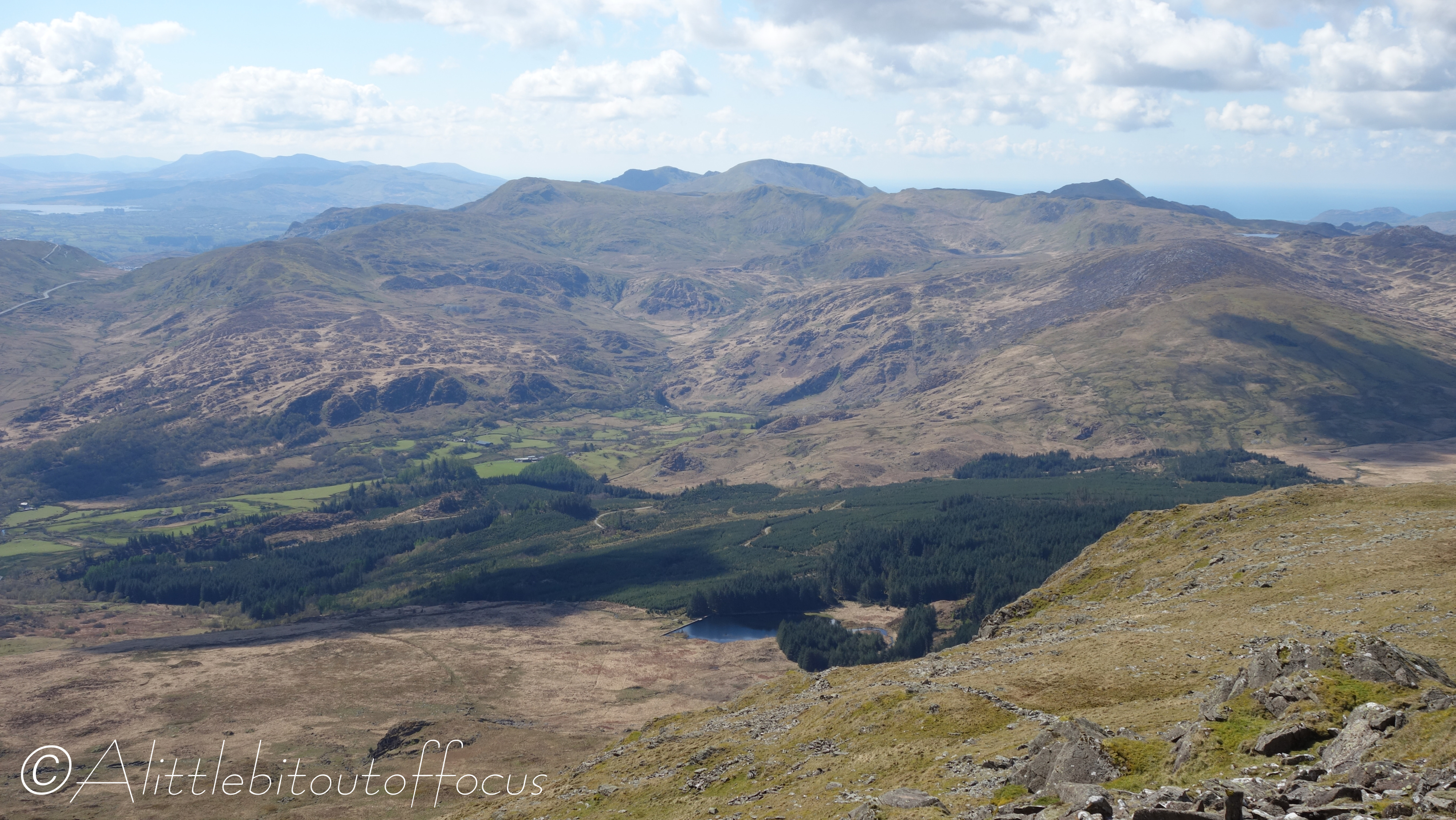
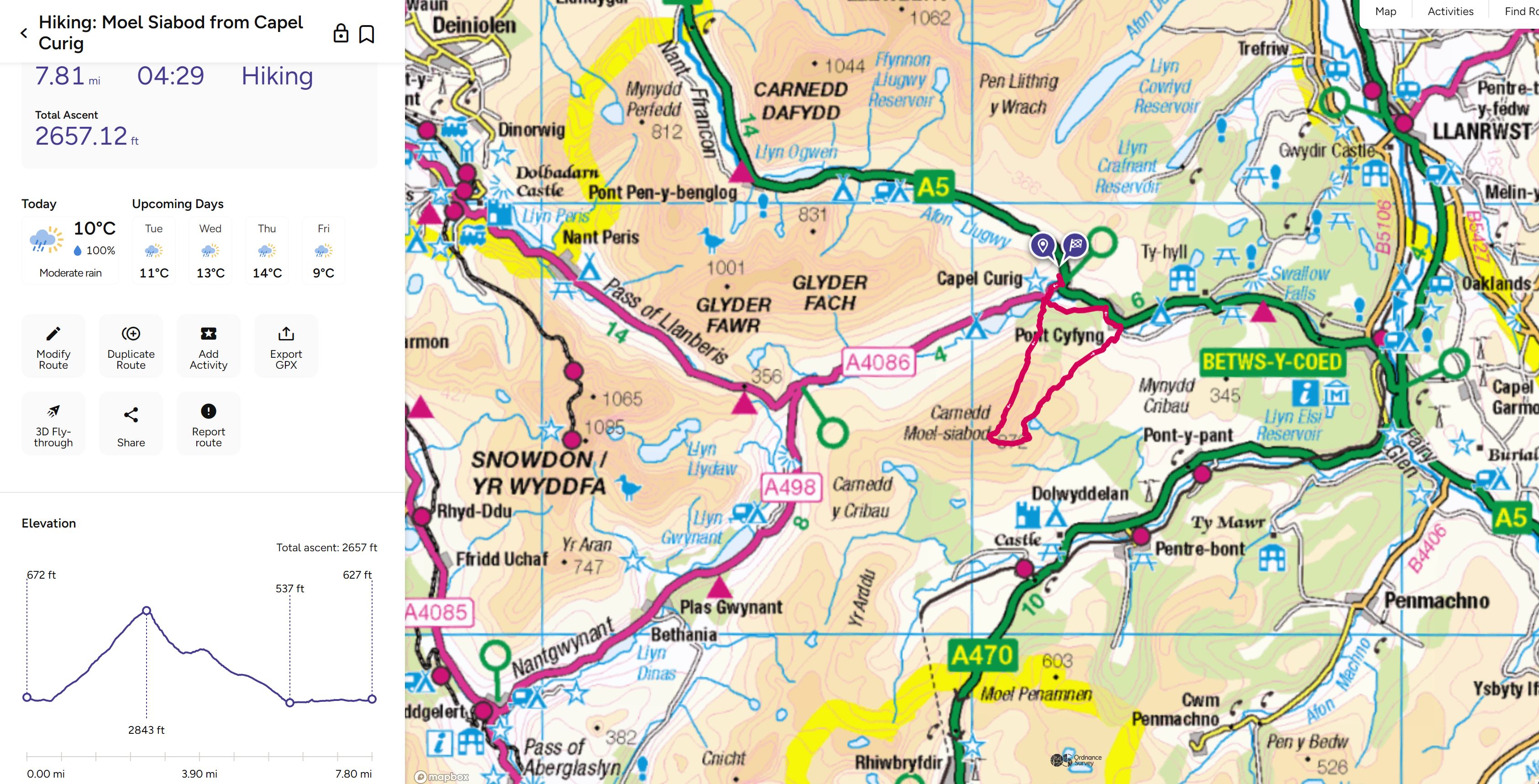
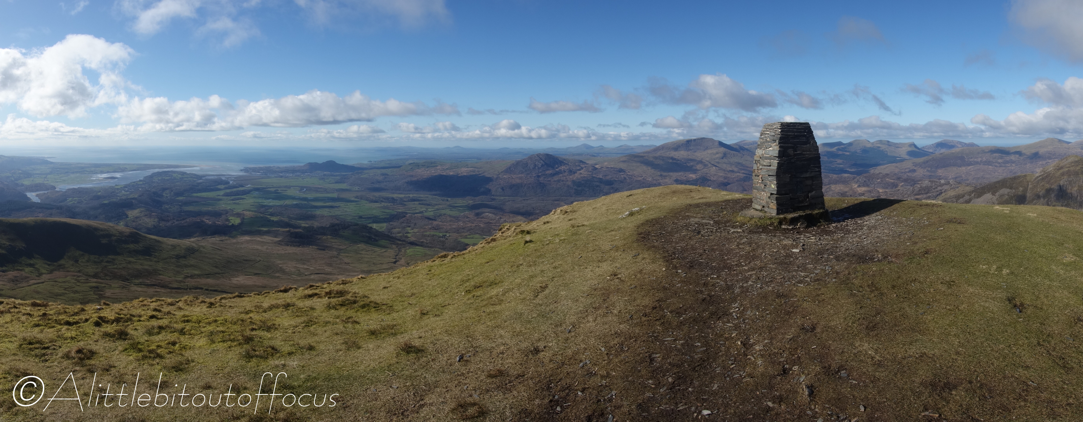
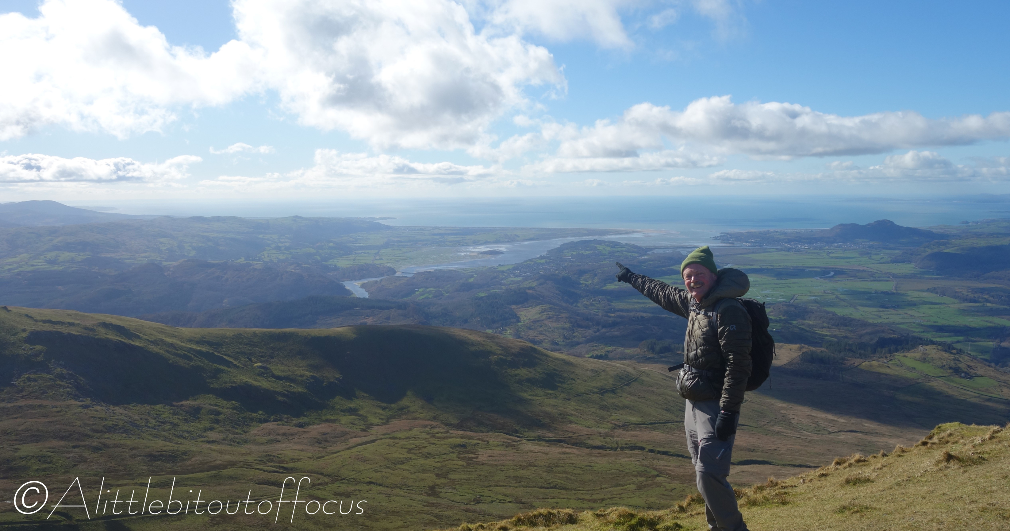
There are quite a few well known peaks in and around where we live which I’ve not climbed yet. So when Jude suggested I went for a walk yesterday, it had to be Moel Siabod. At 872m or 2,861ft, it’s not the highest of peaks, (indeed Jude announced before I left that it was only the 22nd highest in the Eryri/Snowdonia National Park), but it does give fabulous views of many of it’s taller neighbours. (Click here for a full list of the mountains over 2,000ft in the National Park, including a picture, taken from Moel Siabod, with some of those peaks marked).

I was slightly concerned that it might be very busy, given that it was a sunny Sunday, but I needn’t have worried, as I saw no more than 20 people on the ascent and a similar number going in the opposite direction as I walked down. Clearly the attraction of Snowdon is much greater!

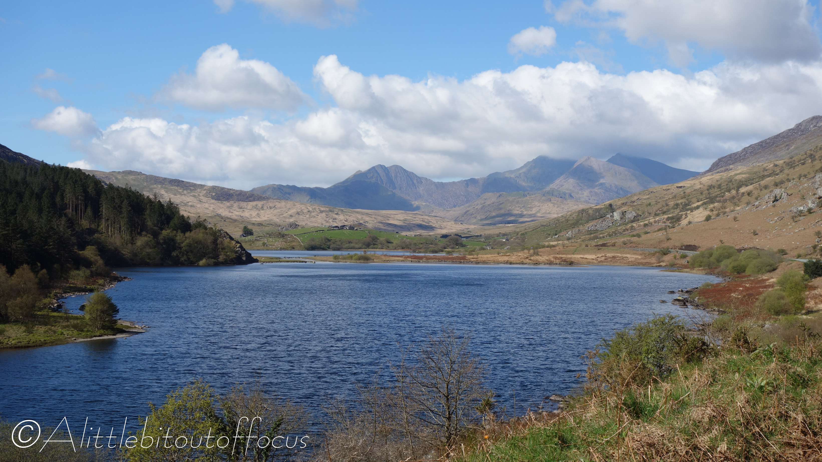
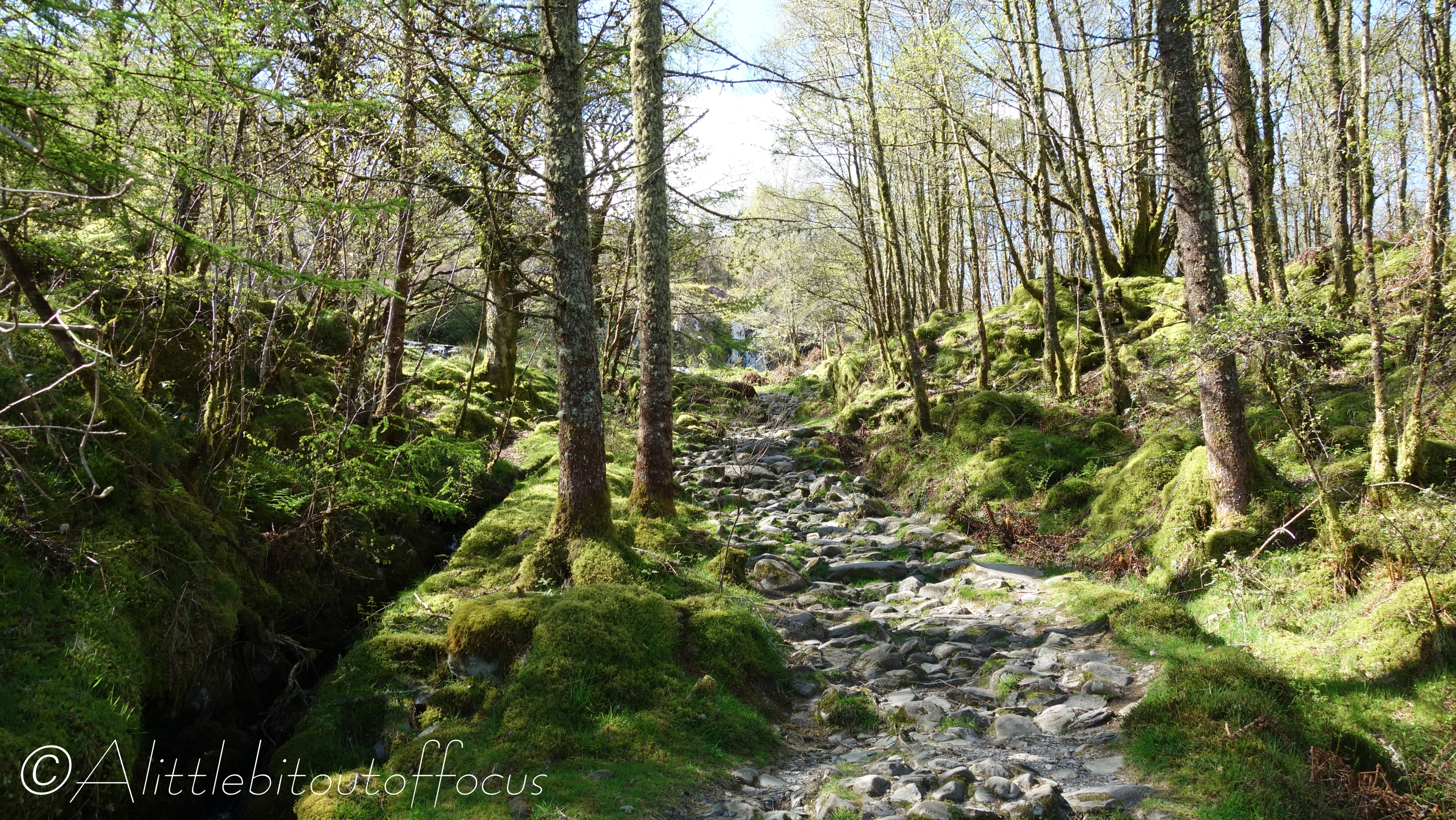
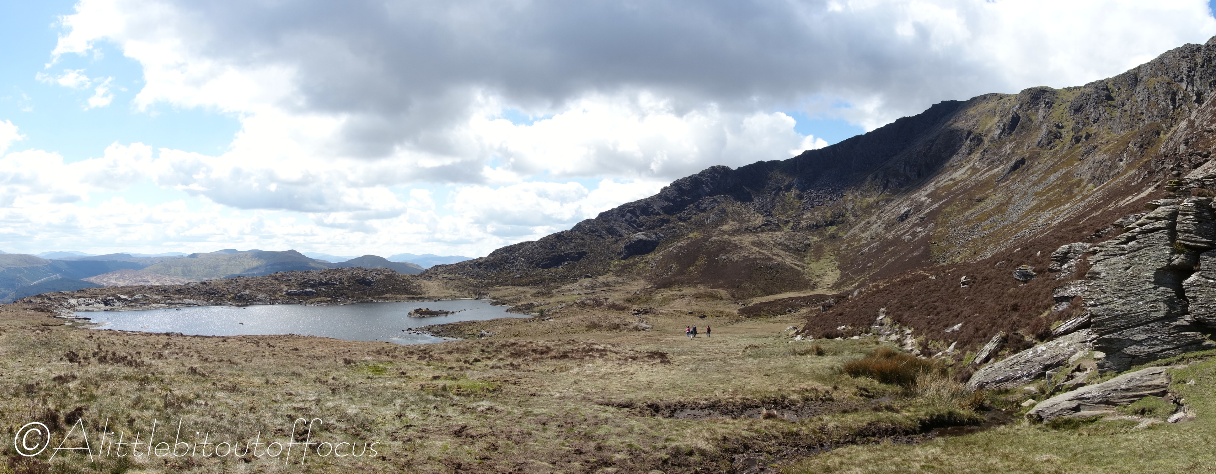
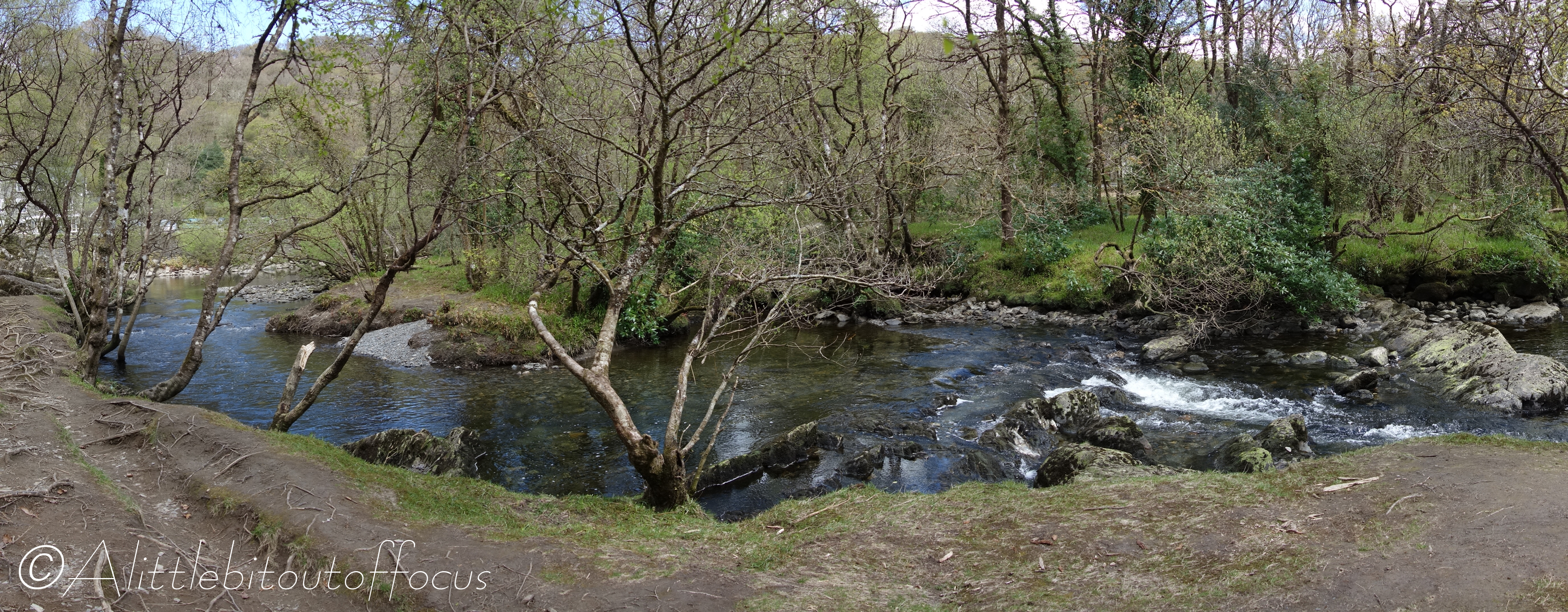
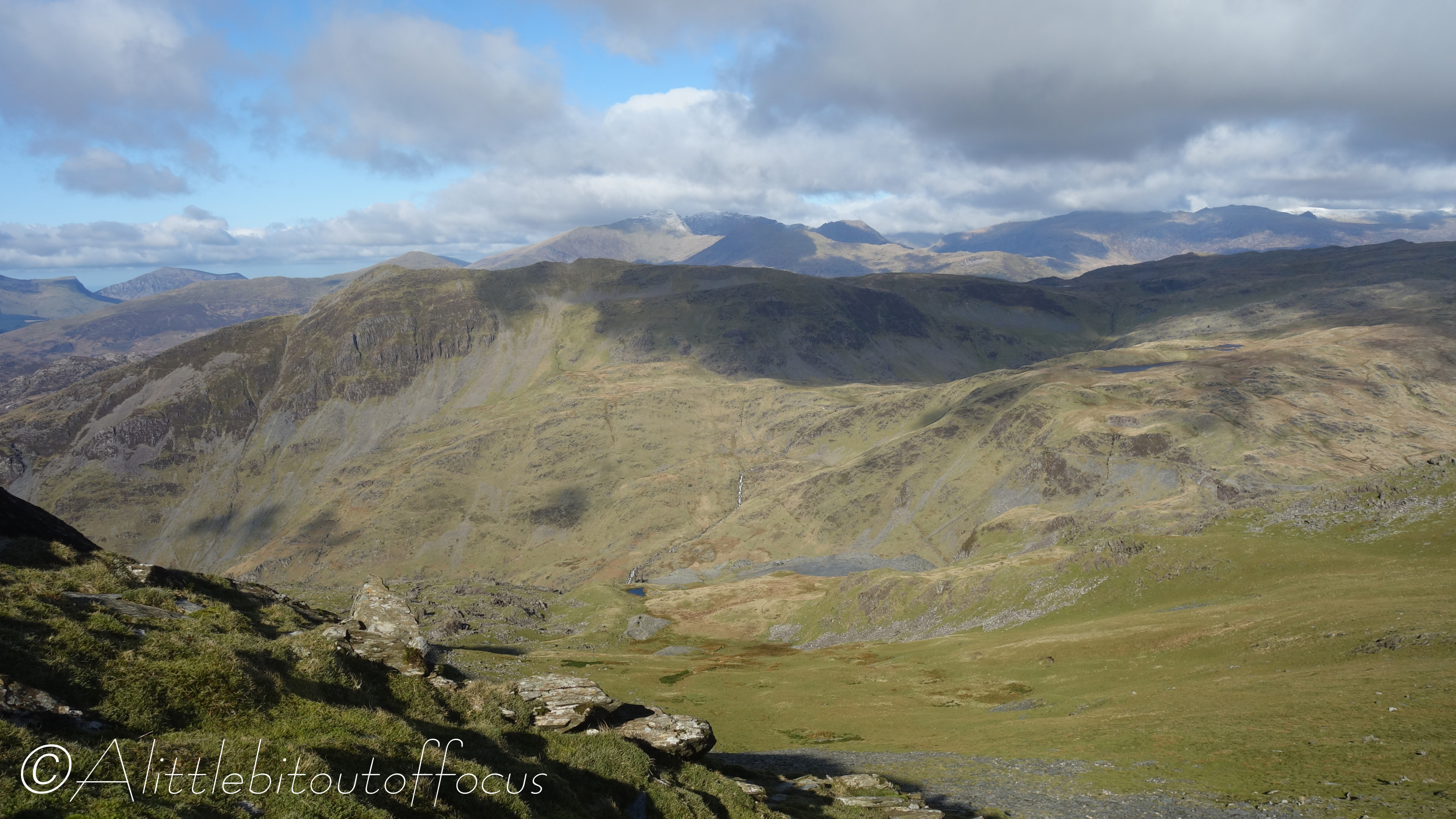
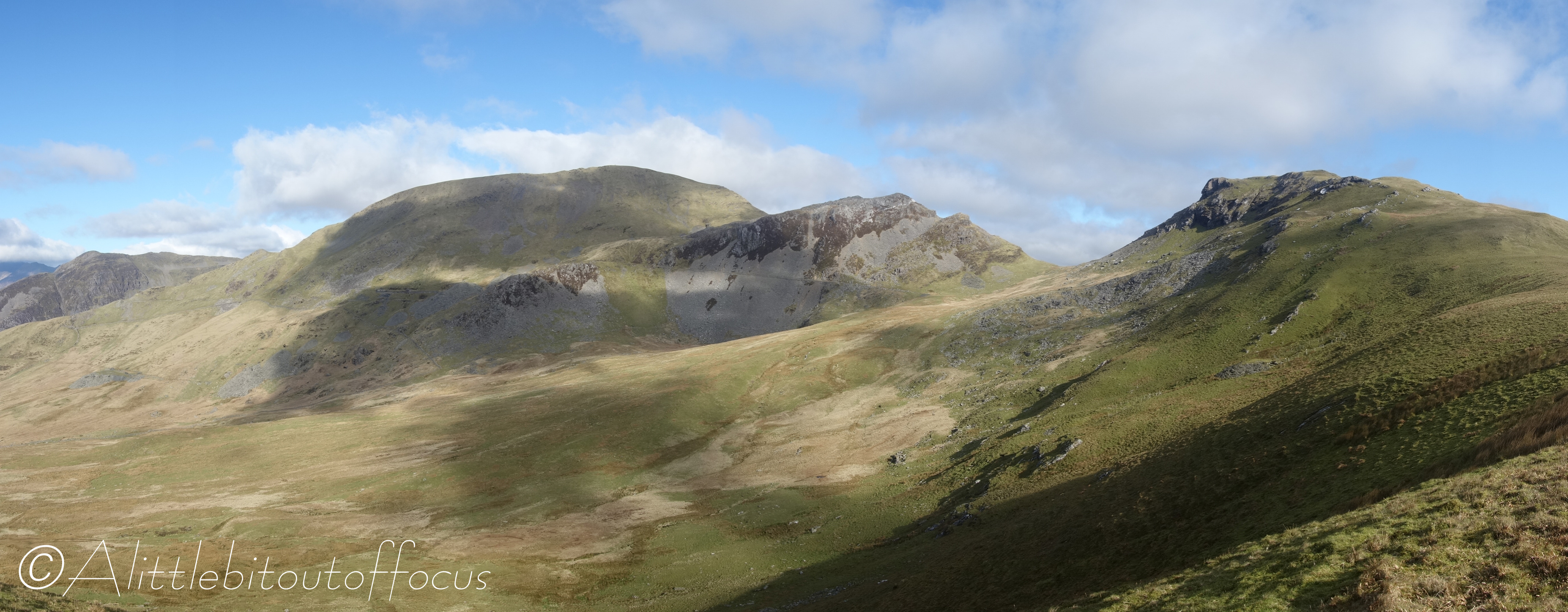
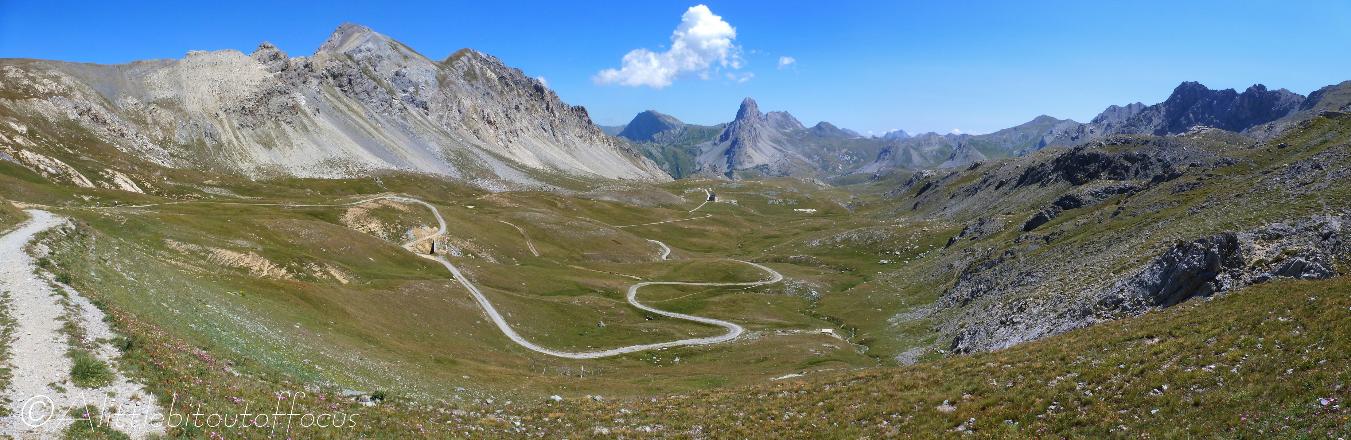
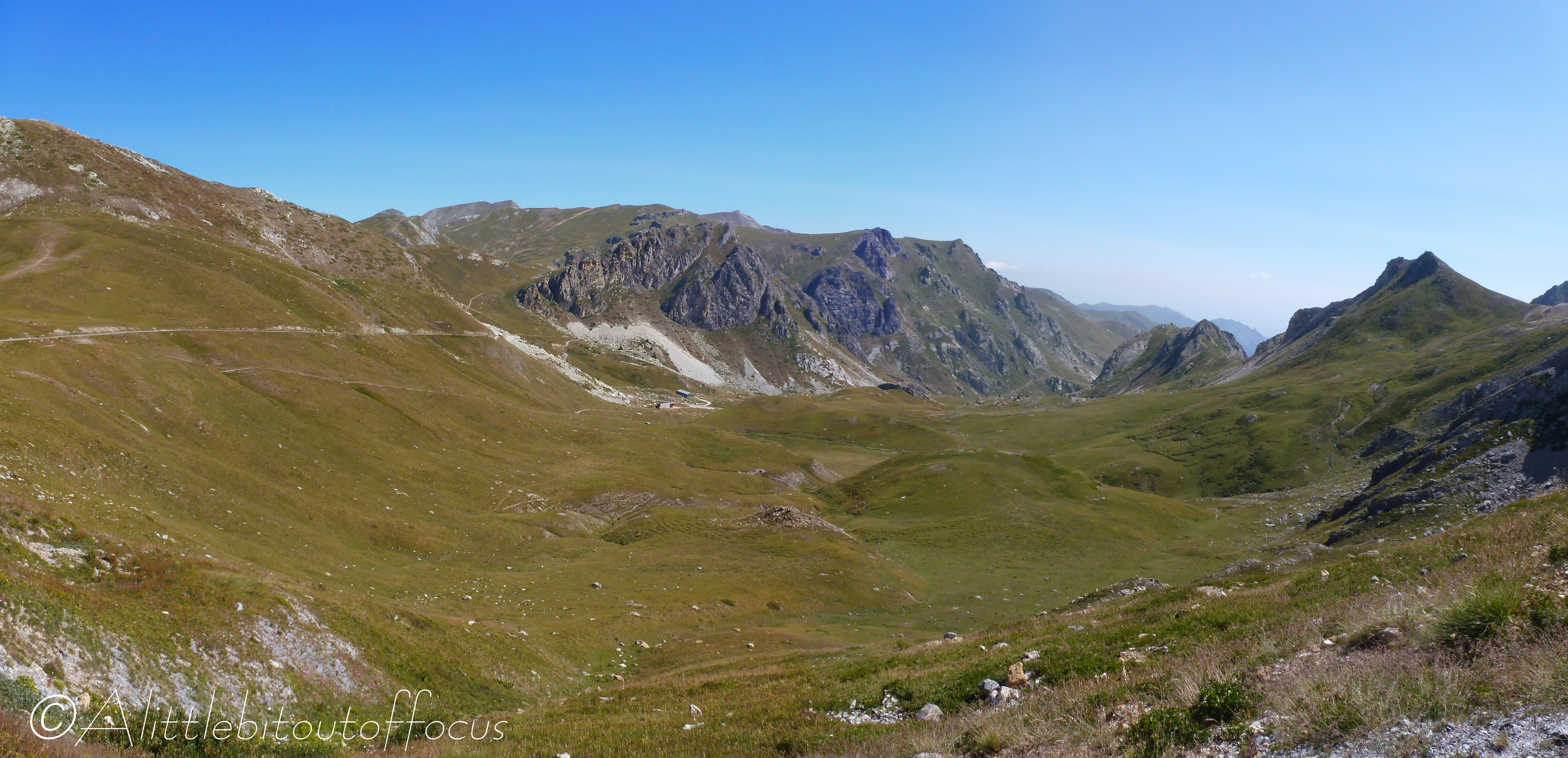
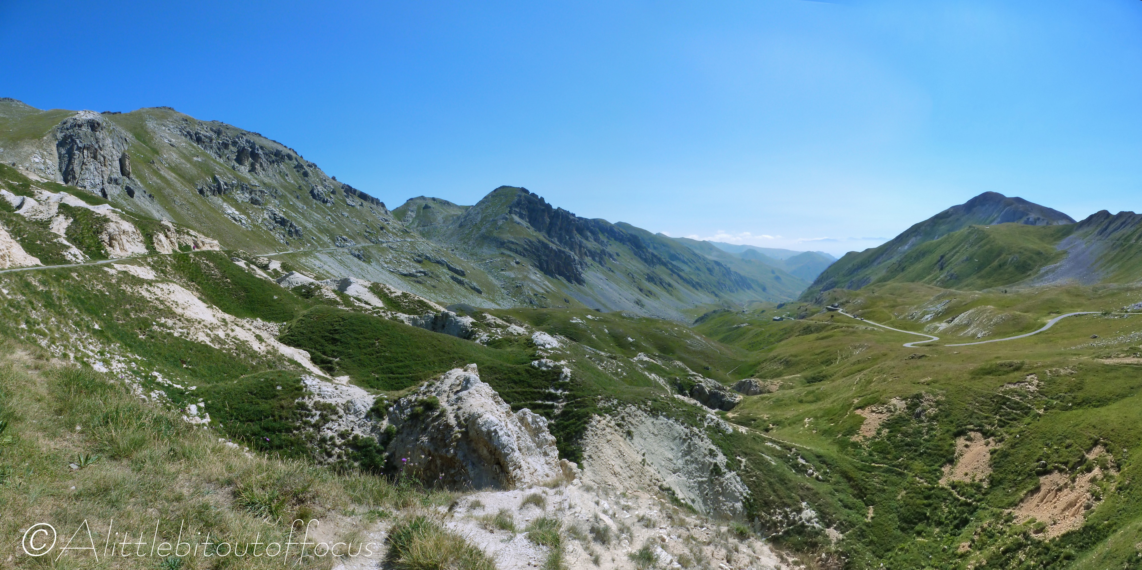
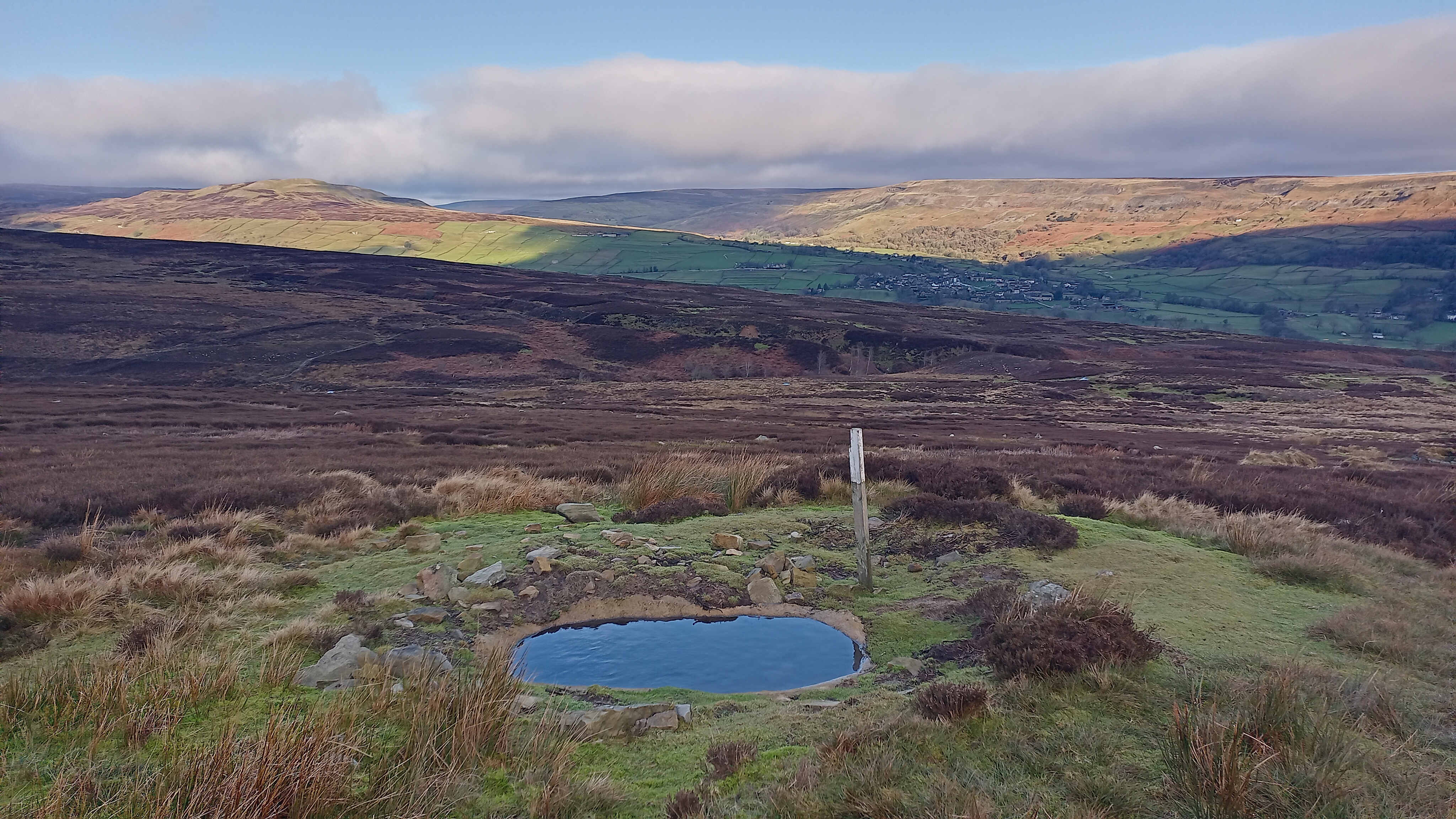
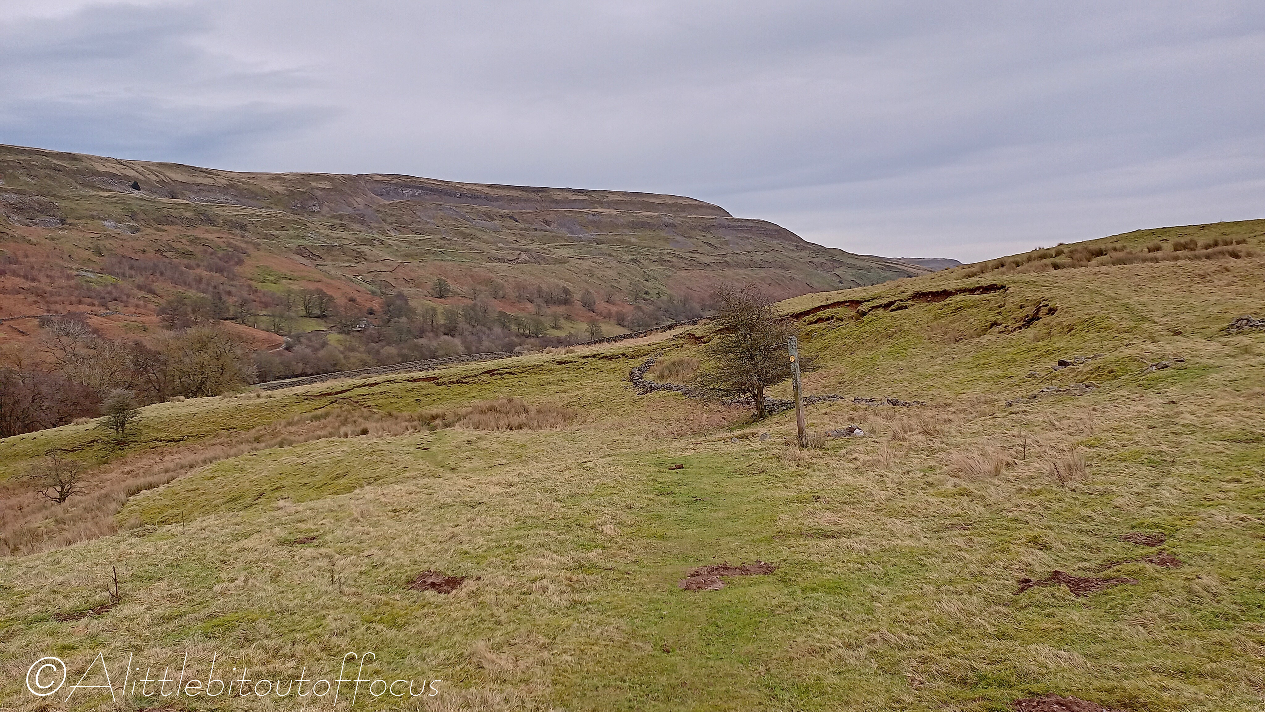
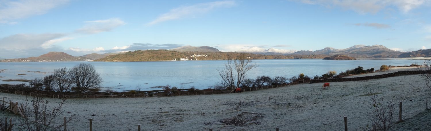
The route I chose was circular and I decided to go anti-clockwise, that is directly up from Capel Curig on a well trodden path. It was largely featureless, apart from the views, as you will see below (especially pic 7). After reaching the summit, the path dropped steeply over some uneven, boulders (which played havoc with my dodgy left knee) and I began to wonder whether I should have gone the other way. After about half a mile, the path levelled out, but, I have to say, the descent did seem twice as long as the ascent and I felt sorry for the people who were just starting to make their way up.

Circular Walk from Litton to Kettlewell and Starbotton

My mate Dave couldn’t make the party on Saturday, so he came across on Monday. The weather forecast wasn’t great, but we were determined to go out for a walk. So we chose a relatively low level route over to Kettlewell in Wharfedale. From there, we went along a section of the Dales Way to Starbotton before returning over the top to Arncliffe and then Litton (the same way as I’d been the day before). In the event we only got caught in a couple of short, sharp showers, so it turned out to be an excellent walk.

Heavy overnight rain had swelled the rivers by a good 2 feet (60 cm). The footbridge, (seen in pic 3 yesterday), was nearly under water and the stepping stones, (in pic 15 yesterday and 31 below), as well as the ford where we cleaned out boots (pic 17 yesterday) were under water!

The Moelwyns from Croesor, Gwynedd, North Wales

The weather has been so bad recently that, last Monday, while the sun was out (and, crucially, no rain was forecast) I simply had to take the opportunity to go for a long walk. Bear in mind that almost every day, from our home, we gaze across the estuary at several mountains – Hebog, Snowdon, Cnicht and the Moelwyns, Mawr and Bach. (See pic 1 for our view of the last of these). So, it was a tough decision to make, as all of them have their merits but, in the end, I settled on a walk up to Moelwyn Mawr and across to its smaller neighbour, Moelwyn Bach, from the small village of Croesor.

I did this walk nearly two years ago, with my golfing buddy, Ian, so I decided to make it a little different this time by taking the direct (unmarked) route down from Moelwyn Bach. And a good decision it was, as the path was wide, grassy and firm, (see pic 22) with only the last 150 yards or so, along the flat, slightly undefined and squelchy underfoot.

I only saw 4 other people all day and, by pure chance, that was 2 on the very top of Moelwyn Mawr (a guy with his grown up son) and 2 ladies on the top of Moelwyn Bach. On the first occasion, I was surprised to see the 2 guys, as I was busy taking photos of the views and, on the second, one of the ladies was surprised to see me as I was sheltering from the wind behind the summit cairn having my lunch! (I at least had heard their voices as they approached).

TransAlp 2012 (Part 1 of 3)

I was reminded the other day that I hadn’t posted pictures of the ‘TransAlp’ mountain bike ride which eight of my work colleagues and I did way back in August 2012. (I mentioned in my Trans-Swiss post of May 2020 that I would publish a post “in due course” – well, better late than never!) The route meandered along the French/Italian Alps, from Orsières in Switzerland to Monte Carlo on the Mediterranean coast.

The trip took 10 days in total and our overnight accommodation varied from the Elisabetta mountain hut (on the Tour du Mont Blanc, where we were squeezed in on the 3rd tier bunks and slept shoulder to shoulder), to a set of suites overlooking a harbour on the French Riviera!

I’m afraid I cannot remember all the places I photographed on the route (and my book is still filed away in a removal box somewhere), so my apologies for not adding text to all the images in the gallery below. But I hope the pictures will speak for themselves and give you a flavour for the trip and the fantastic weather that we had! It was such a contrast to the previous year.

Aysgarth Falls from Fremington, Yorkshire Dales, England

The Yorkshire Dales region is not for nothing more simply referred to as “The Dales”. There are smaller dales, which join up with larger dales, which then feed into the main dales, like Airedale, Wharfedale and Swaledale.* Most are named after the becks, streams or rivers which run along their valleys, but the river which runs along Wensleydale is called the Ure. I mention this exception as the river has a series of waterfalls at Aysgarth, which can be just a trickle in the summer, but a raging torrent after a prolonged downpour. And we know what the weather has been like in the UK recently!

So it was that I decided, for my second walk, to go from our cottage in High Fremington, in Swaledale, over the moorland, to Aysgarth, in Wensleydale. On the way, I discovered an area that even I, as a relative ‘local’ and regular visitor to the Dales, had never heard of, called Apedale. (See pics 10-13). There’s even a hill to the north of it called Gibbon Hill! (See centre of the Route map).

With my thanks to Bugwoman for the identification of the Lichen in pic 7 and my wonderful wife, Jude, for coming to pick me up. 👍👍😊

* Wiki tells me, if my counting is correct, that there are 51 differently named dales in total, 37 have water flowing east to the North Sea and 14 that empty west into the Irish Sea.

Arkengarthdale Walk, taking in Fremington Edge, Yorkshire Dales, England

How many people do you know who go on holiday and forget to take their camera? Nobody? Well, you do now! Silly Mike forgot to take his when Jude and I went to the Yorkshire Dales last week! We stayed in a rented cottage in a small hamlet called High Fremington, which is less than a mile from Reeth in Swaledale.

The weather was relatively kind and I managed to get out for two longish walks. Just behind the cottage there was a feature on the map called Fremington Edge (at around 1,500ft or 450m). It’s not particularly high, but it had to be done, as did the ‘reccy’ (or checking out) of a small village called Booze. (I kid you not!) Perhaps surprisingly, there is no pub in Booze (well, it is only a group of about 6 or 7 houses), but there were two along the route and two more in Reeth. Not that I visited them all on this walk of course!

My apologies for the quality of the images below, they were all taken on my (not so expensive) mobile phone, but I hope you still get a feel for the walk.  

The Dee Way, Part 2, Day 5 (of 5), Parkgate to the Royal Liverpool Golf Club, Hoylake

When Dave Berry created this route and wrote his book, I don’t suppose he envisaged a golfer doing it in reverse, as a sort of pilgrimage to the Royal Liverpool Golf Club. Well, that was more or less what it was, especially with The Open taking place there this year. Though I have to say that I was slightly disappointed upon arrival, as the course was not as ‘awesome’ as I’d imagined, partly perhaps because it was still covered in stands which were gradually being dismantled. (It looked just like a building site, with official entrance and exit gates for all the comings and goings of the articulated lorries).

The last ‘leg’ was also pretty boring because much of it followed an old, disused railway track, now turned into a recreational path cum cycleway, which is good, but, with trees and bushes almost all the way alongside, there were very few ‘views’ to speak of – apart from the odd glimpse of another golf course. (See pics 8 & 11). 👍😊

By the time I ’emerged’ at West Kirby, the wind had got up and it was nice to see a lot of people taking advantage of the various water sports now on offer. Though why the guy was running where he was (see pic 19), is completely beyond me! 🤔

My apologies for the quality of picture 14. I saw 4 or 5 similar looking dragonflies during my walk but it was the only photo I managed to get!

The Dee Way, Part 2, Day 4 (of 5), Chester to Parkgate

As I looked out of the window before setting off, on what was due to be the longest section of the whole route at 15 miles (or 24km), the rain was pouring down (as was forecast for most of the day). So I donned my waterproofs and set off… To my amazement, as I stepped out of the B&B door, it had stopped and it didn’t rain again all day! 👍👍

The initial part of the route left Chester via a section of the city walls and along the Shropshire Union Canal. It then meandered through Saughall before crossing the A494 and A550 and reaching the parish of Shotwick, where I had lunch on the ‘2000’ bench and took a small detour to see the church. (See pics 7 to 20). From there it went through the delightfully named village of Puddington and past some beautiful houses in Burton. (Check out the bus stop shelter in pic 22, which not only had a bench with cushions, but also books to read while you waited for the bus!) From then on the path hugged the east side of Dee estuary, where I noticed hundreds of sheep grazing on the marshland. (See pic 27).

The Dee Way, Part 2, Day 3 (of 5), Farndon to Chester

Day 3 of my walk had the best weather forecast and the route pretty much hugged the river Dee, on one side then the other, all the way to Chester. For the most part the going was very easy, apart from one particular section, where the usual nettles and brambles made life difficult. (See pic 15).

After donning my waterproofs to get through, worse immediately followed, as there was absolutely no path to be found alongside the field, planted with 7ft high maize. (See pic 16). There was only one thing to do and that was walk between the first two rows. (Pic 17).

As I approached Chester, I was pleased to see that people were taking advantage of the, now much wider, smooth flowing river, some in canoes, some on paddleboards and others by boat.

I think I even spotted a Roman centurion in the Amphitheatre… 🤔