Two trigs walk above Littondale, N. Yorkshire, England

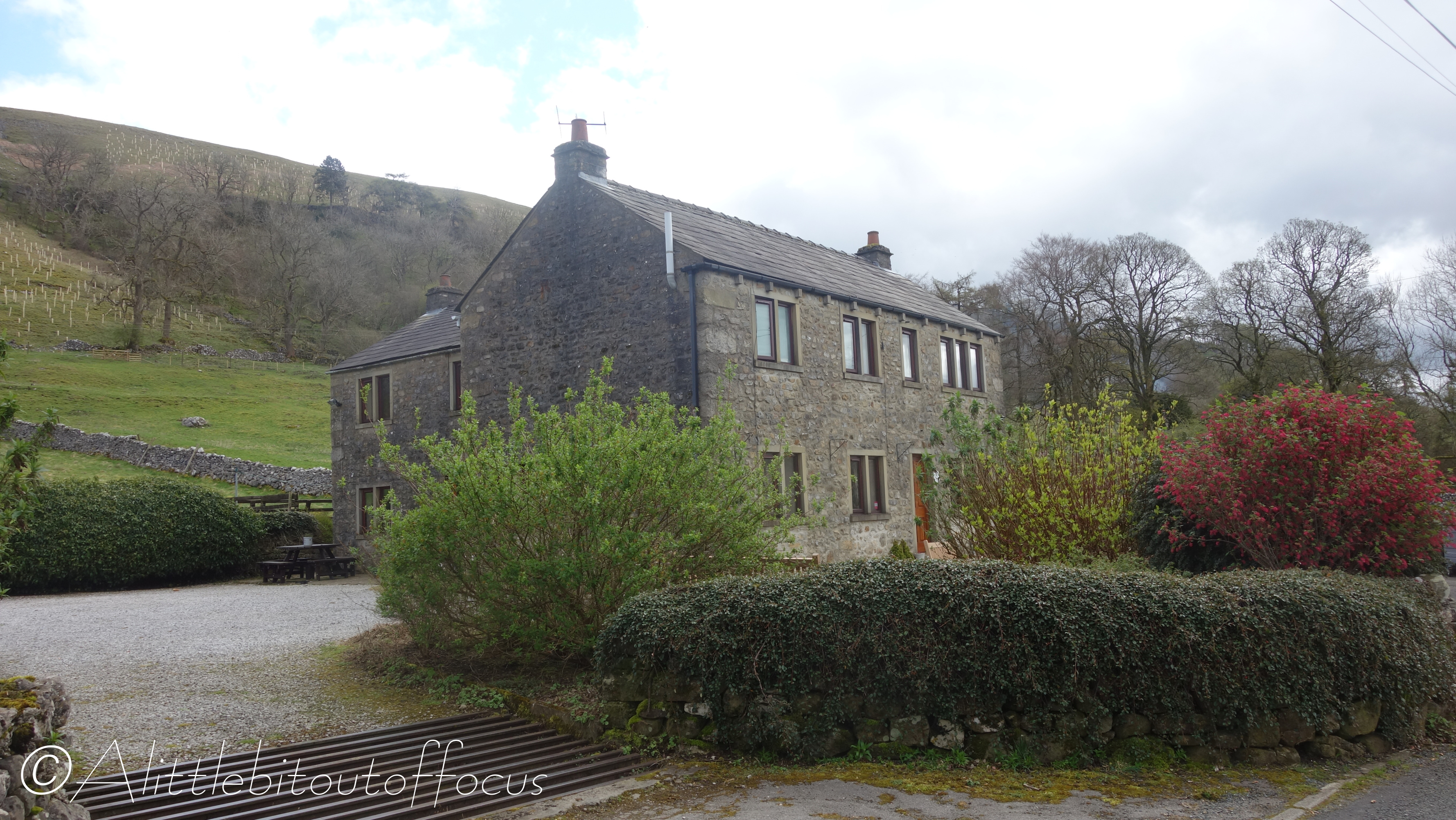
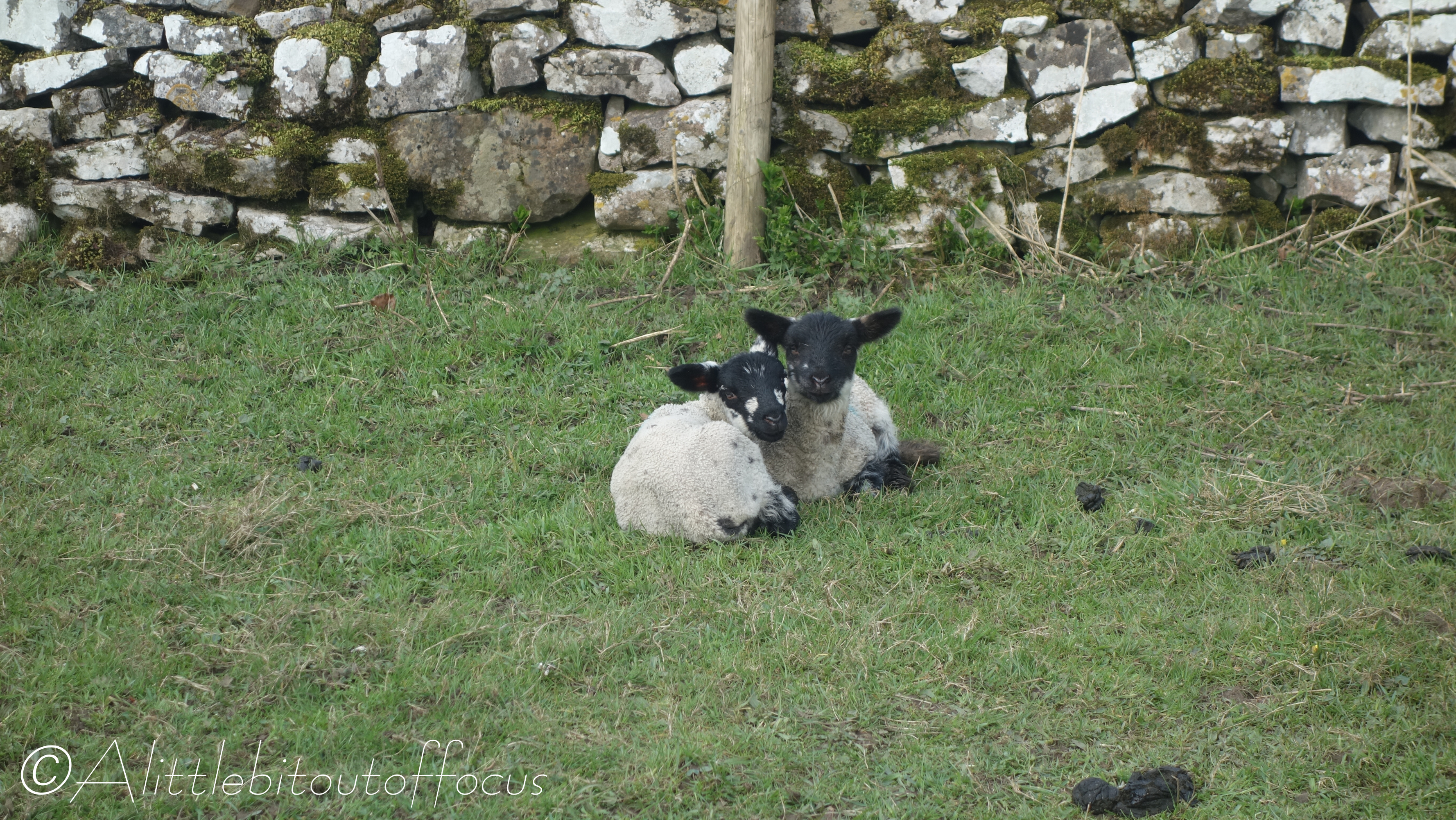
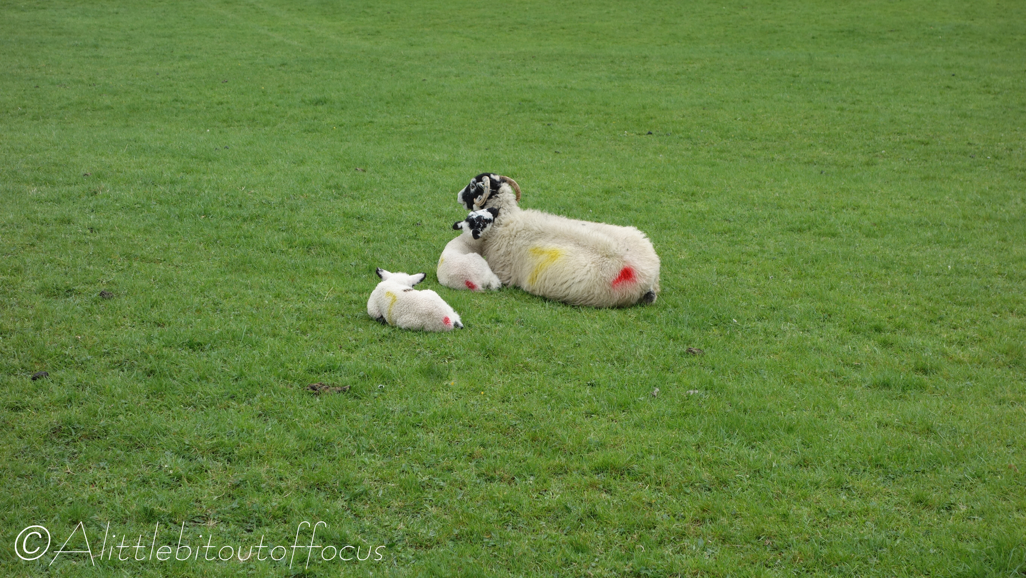
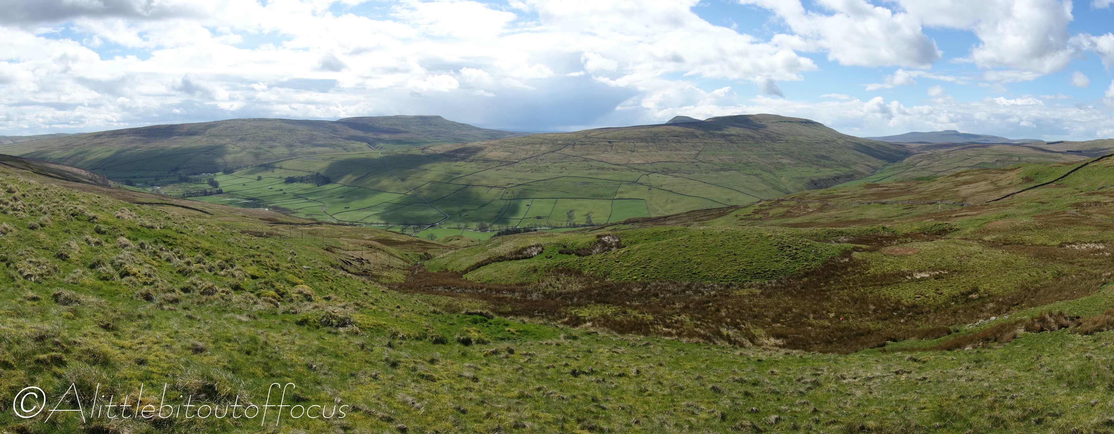
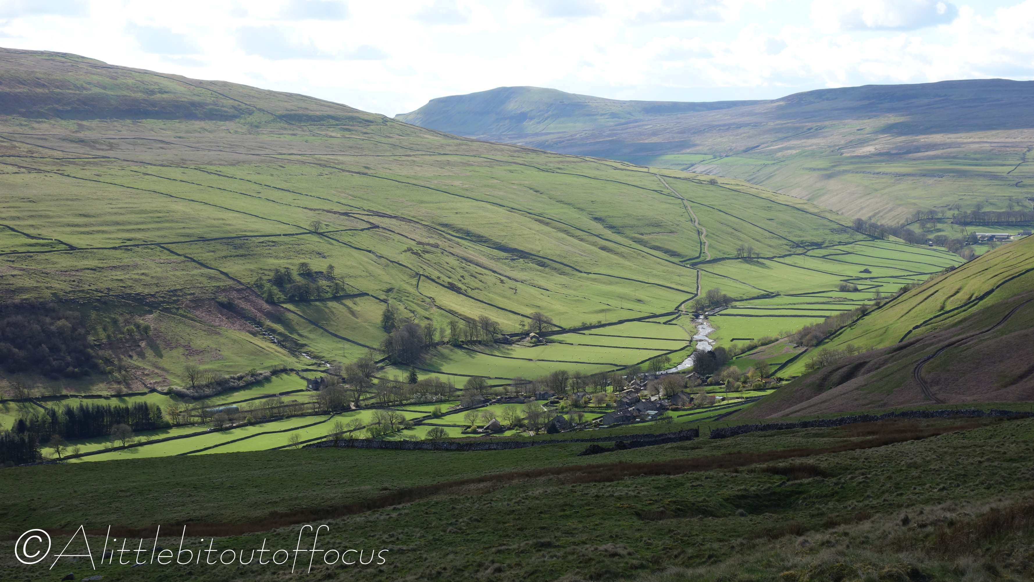
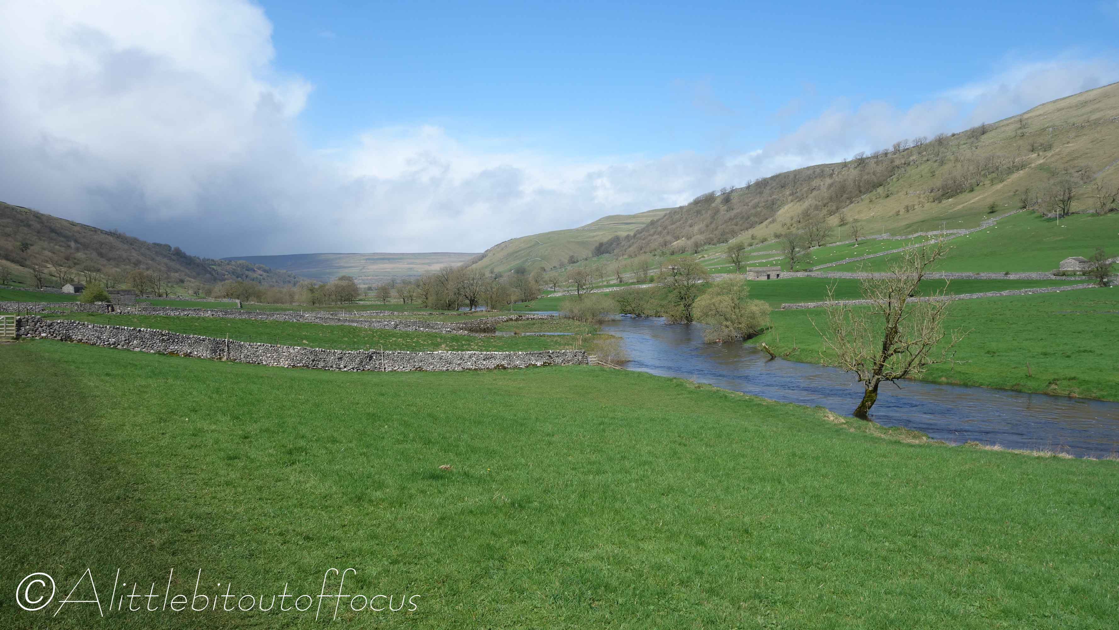
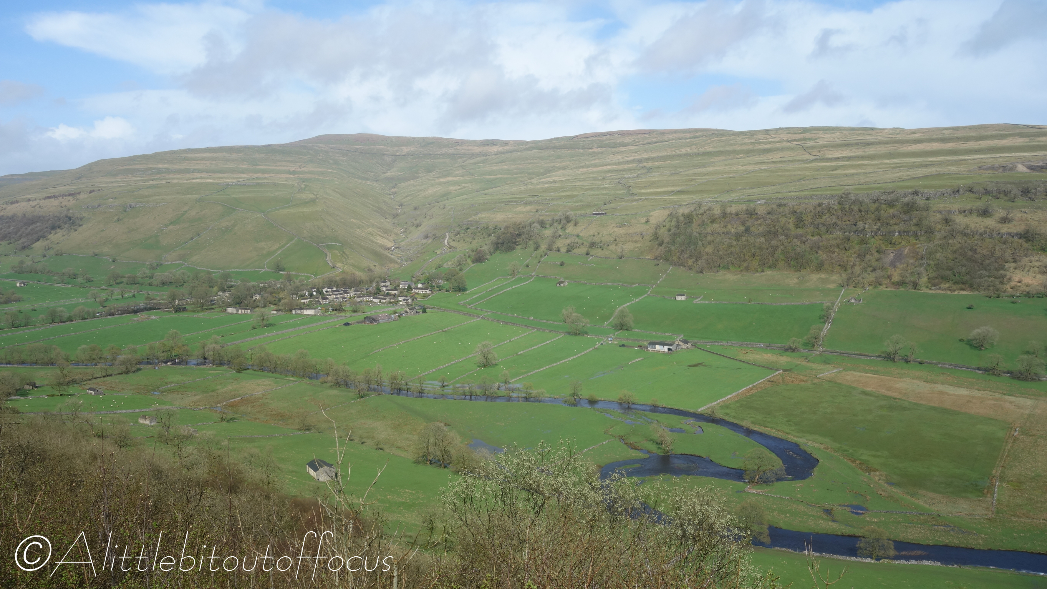
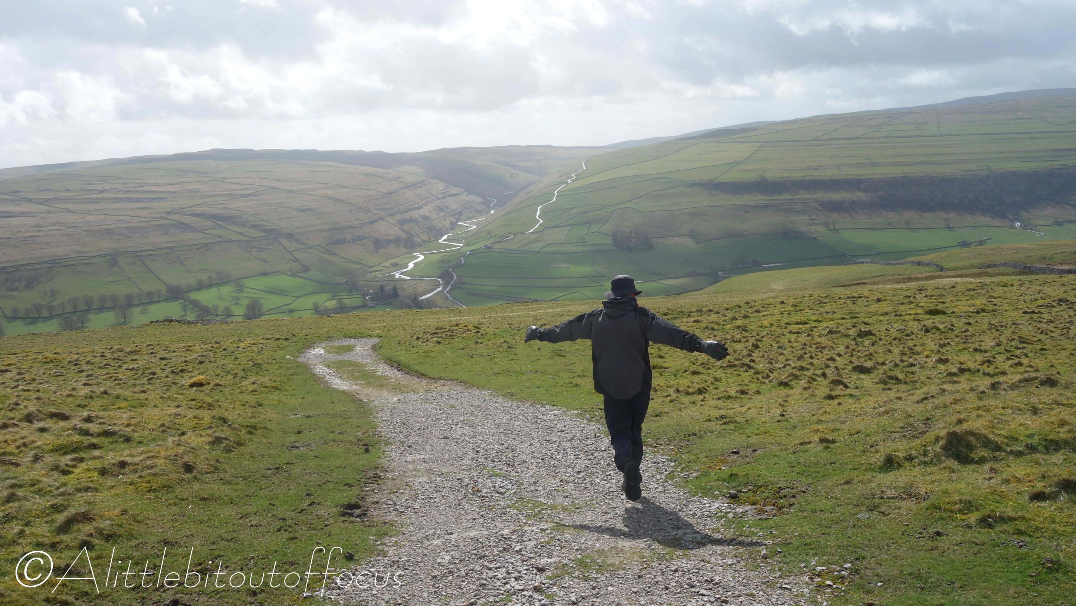
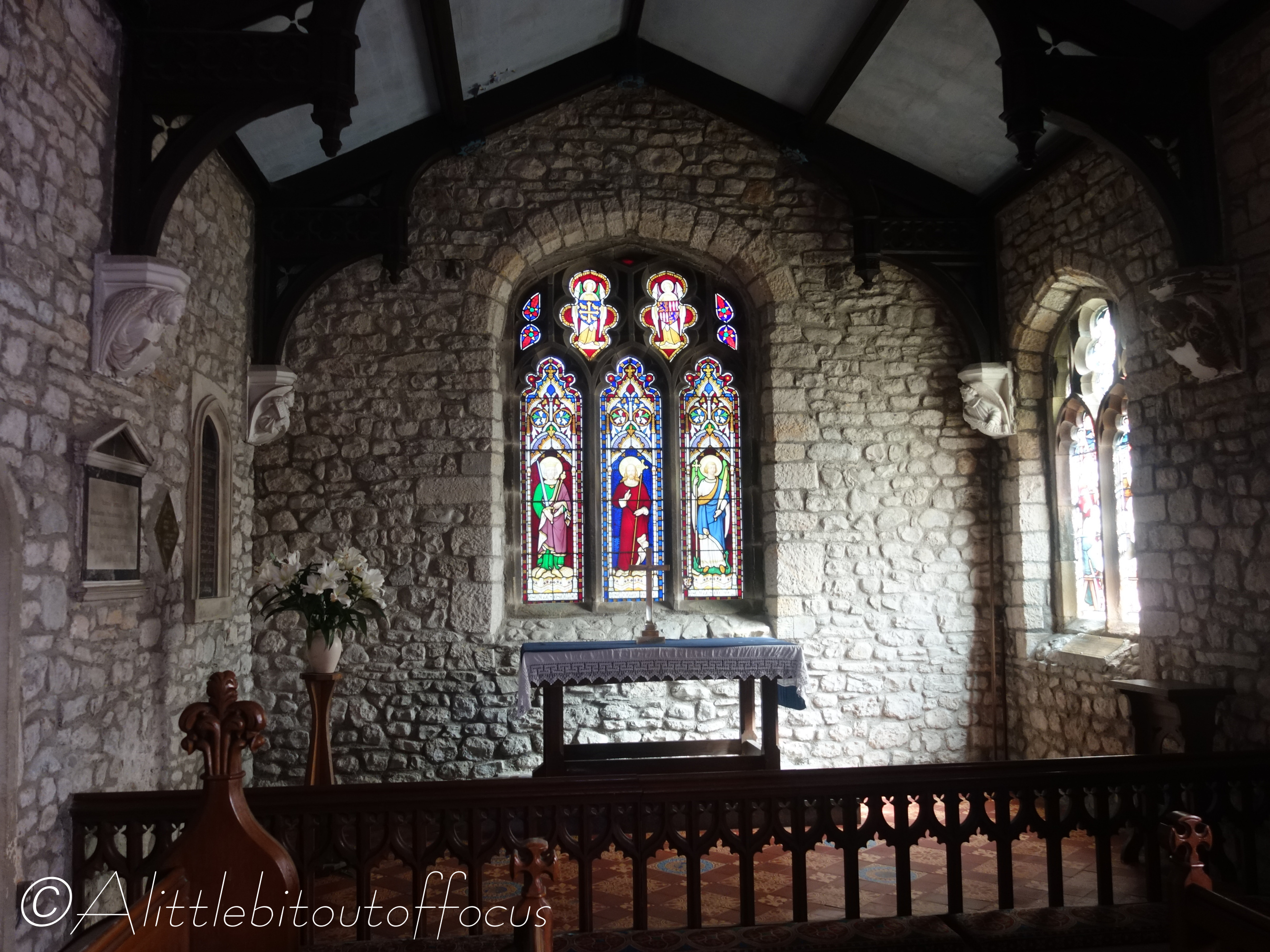
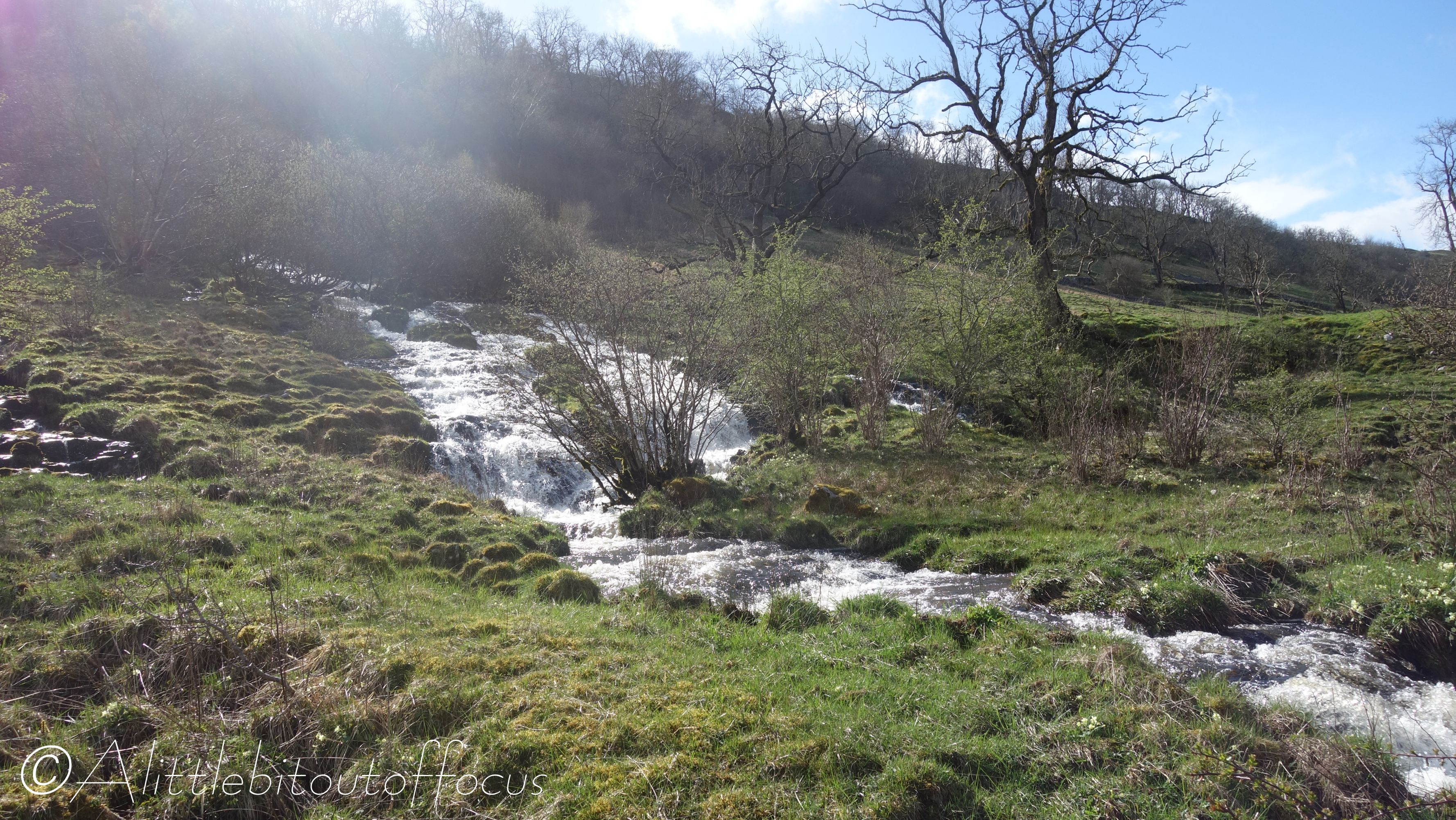
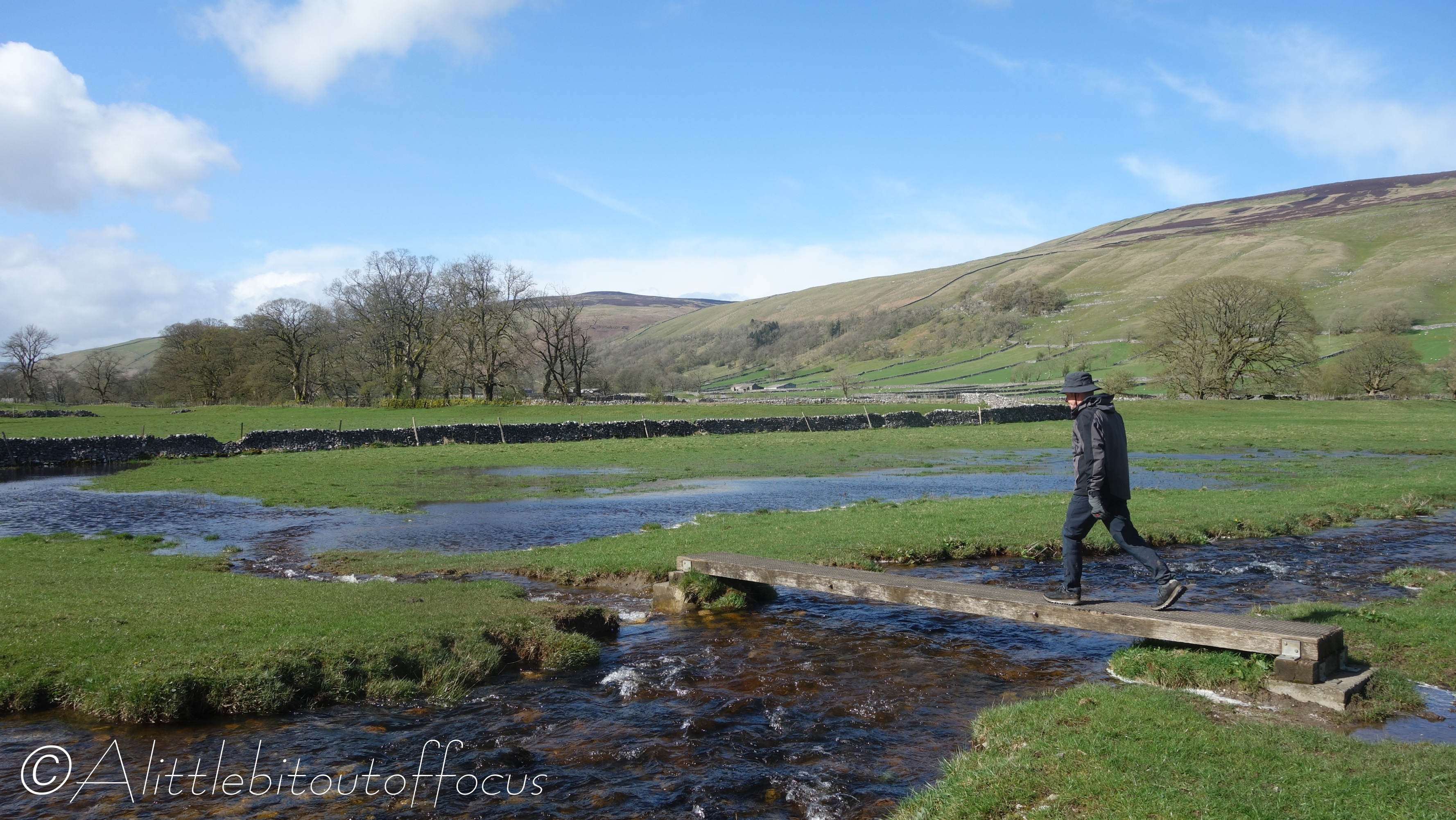
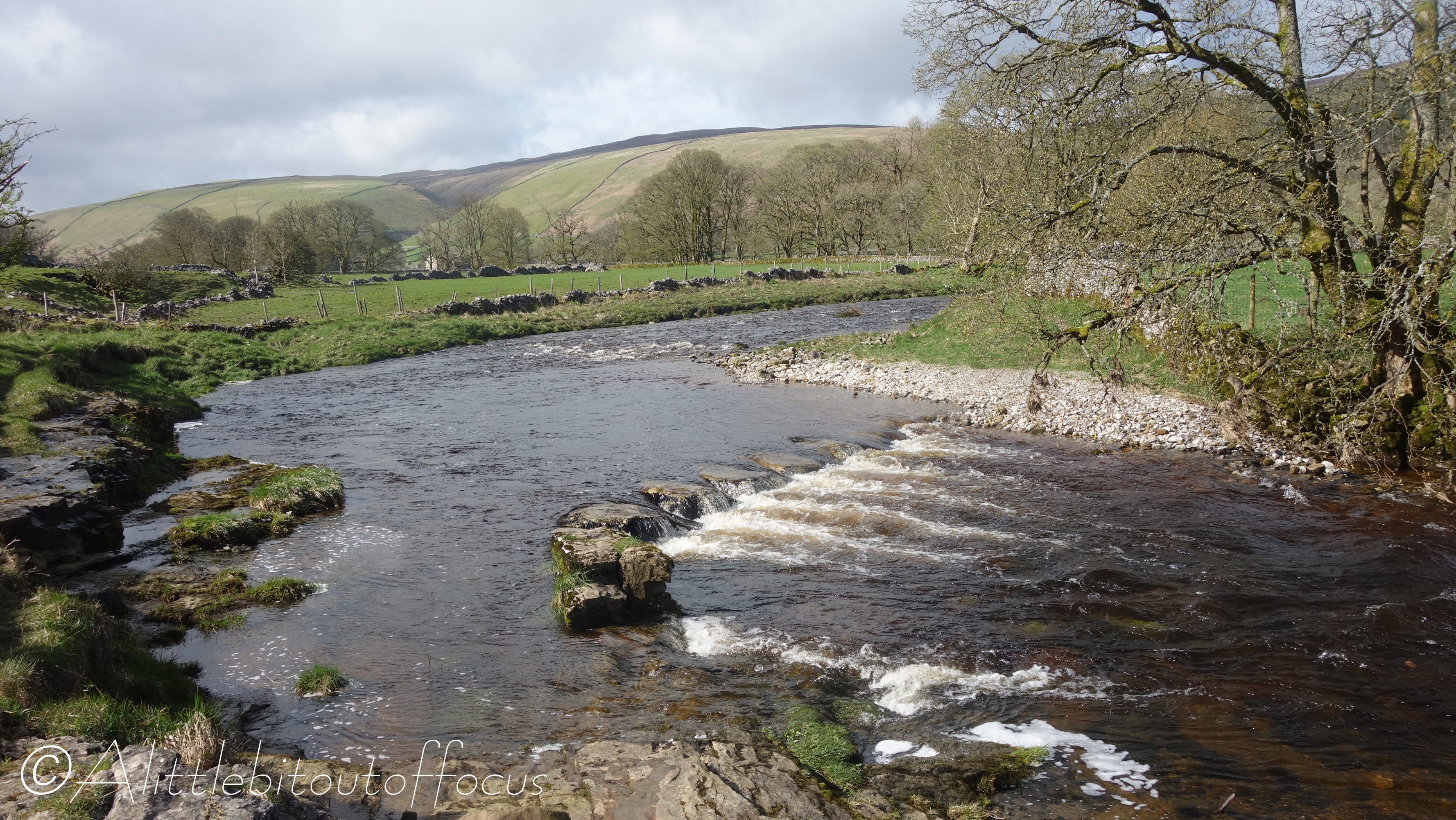
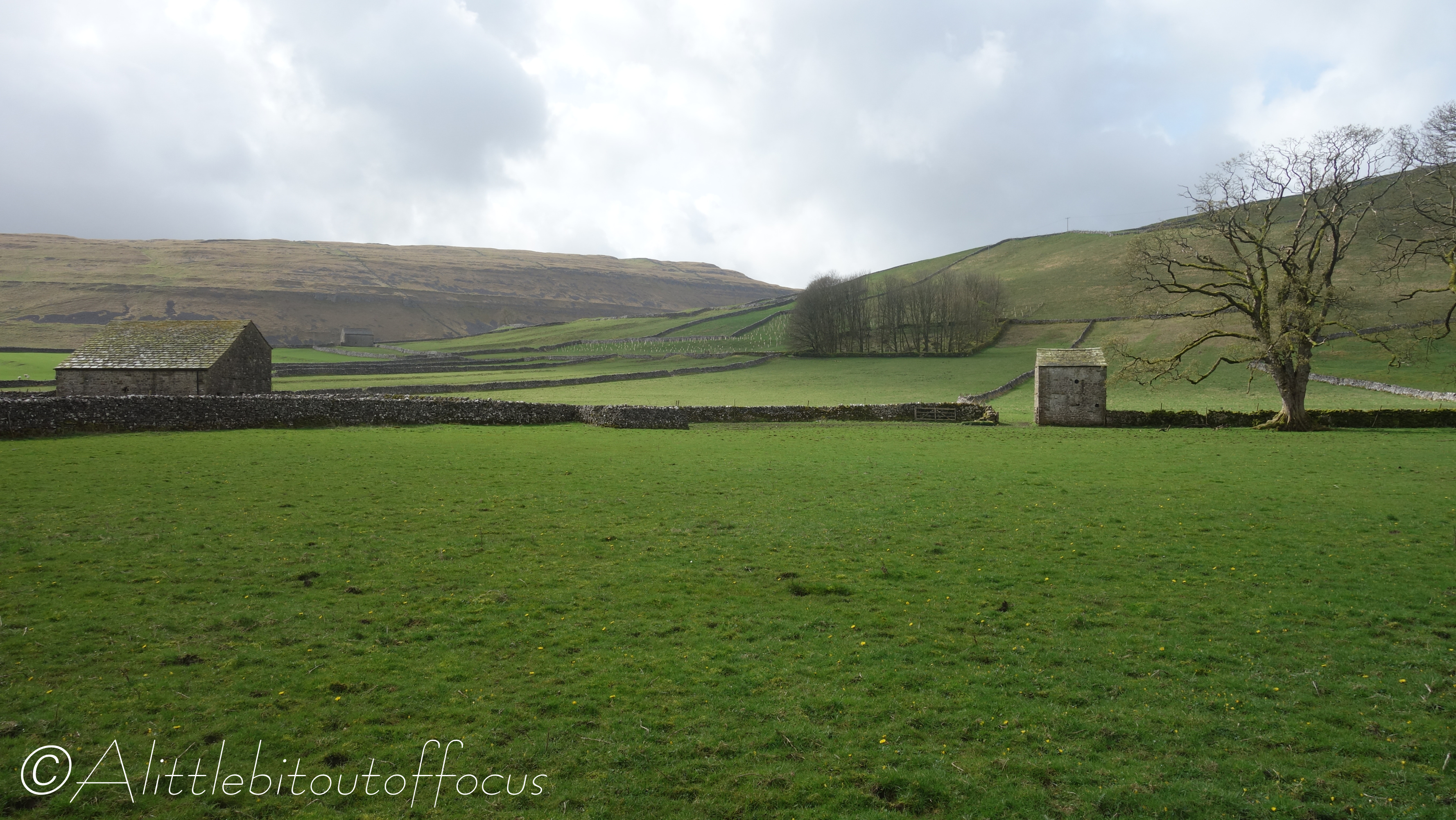
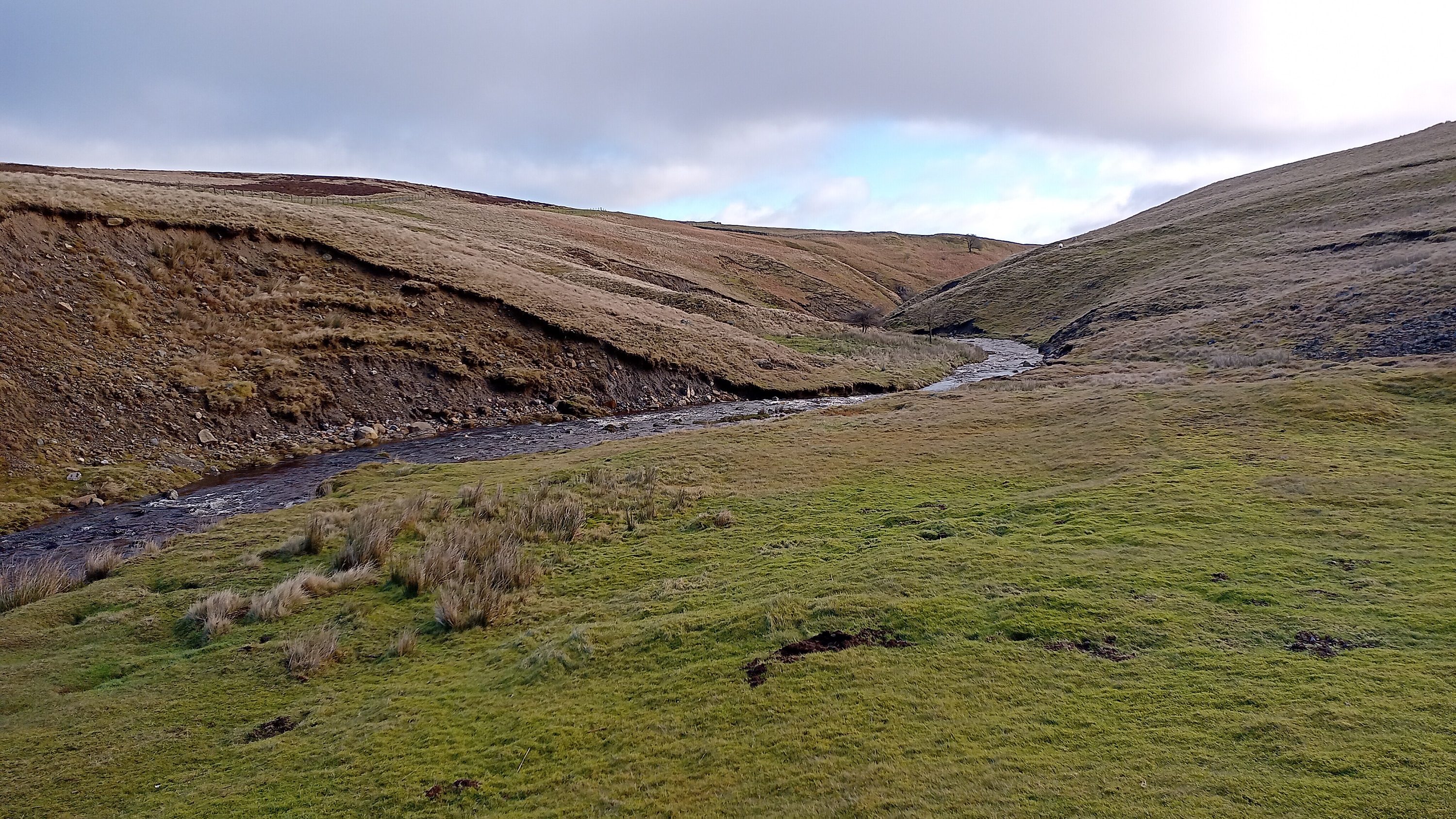
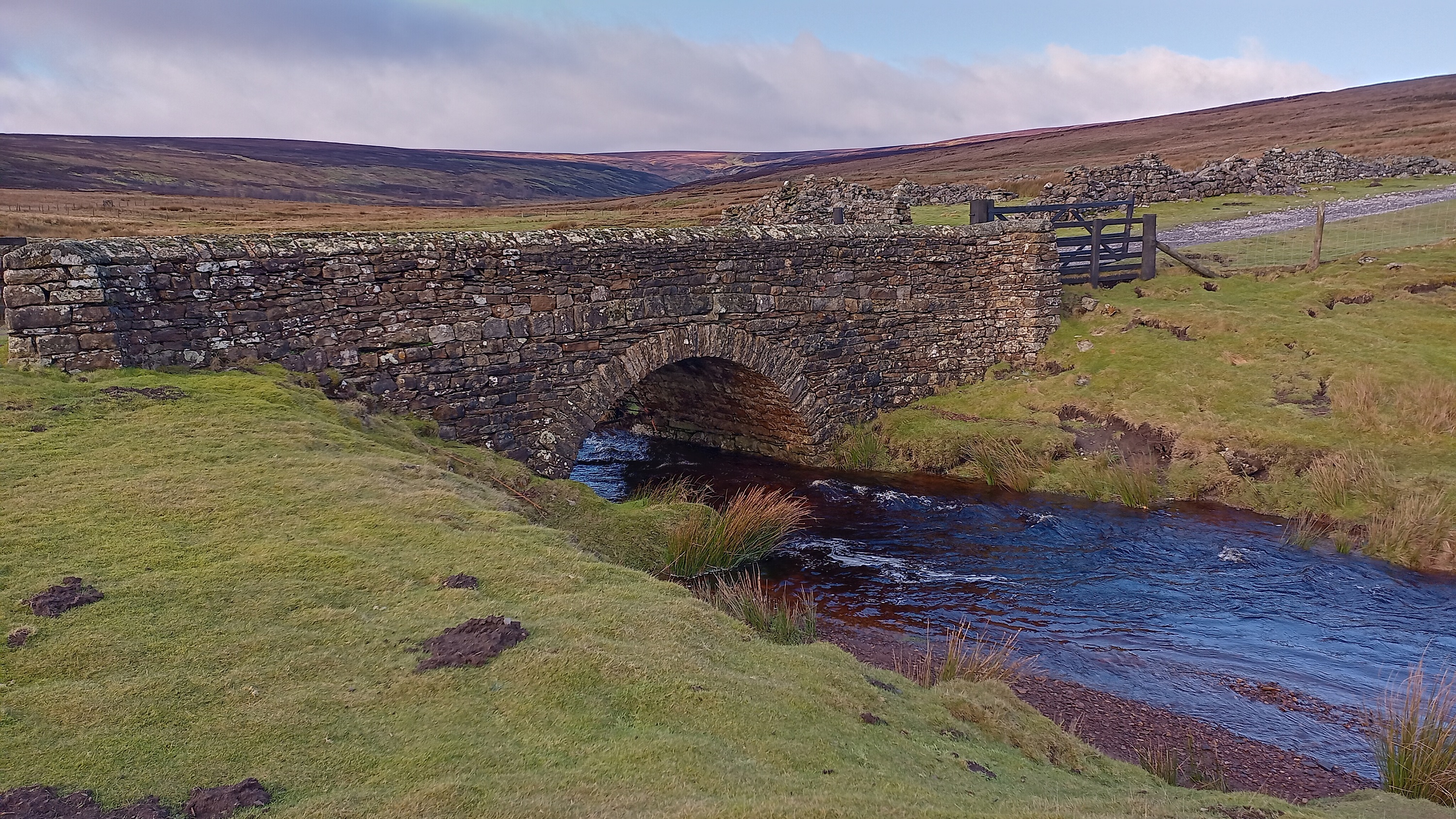
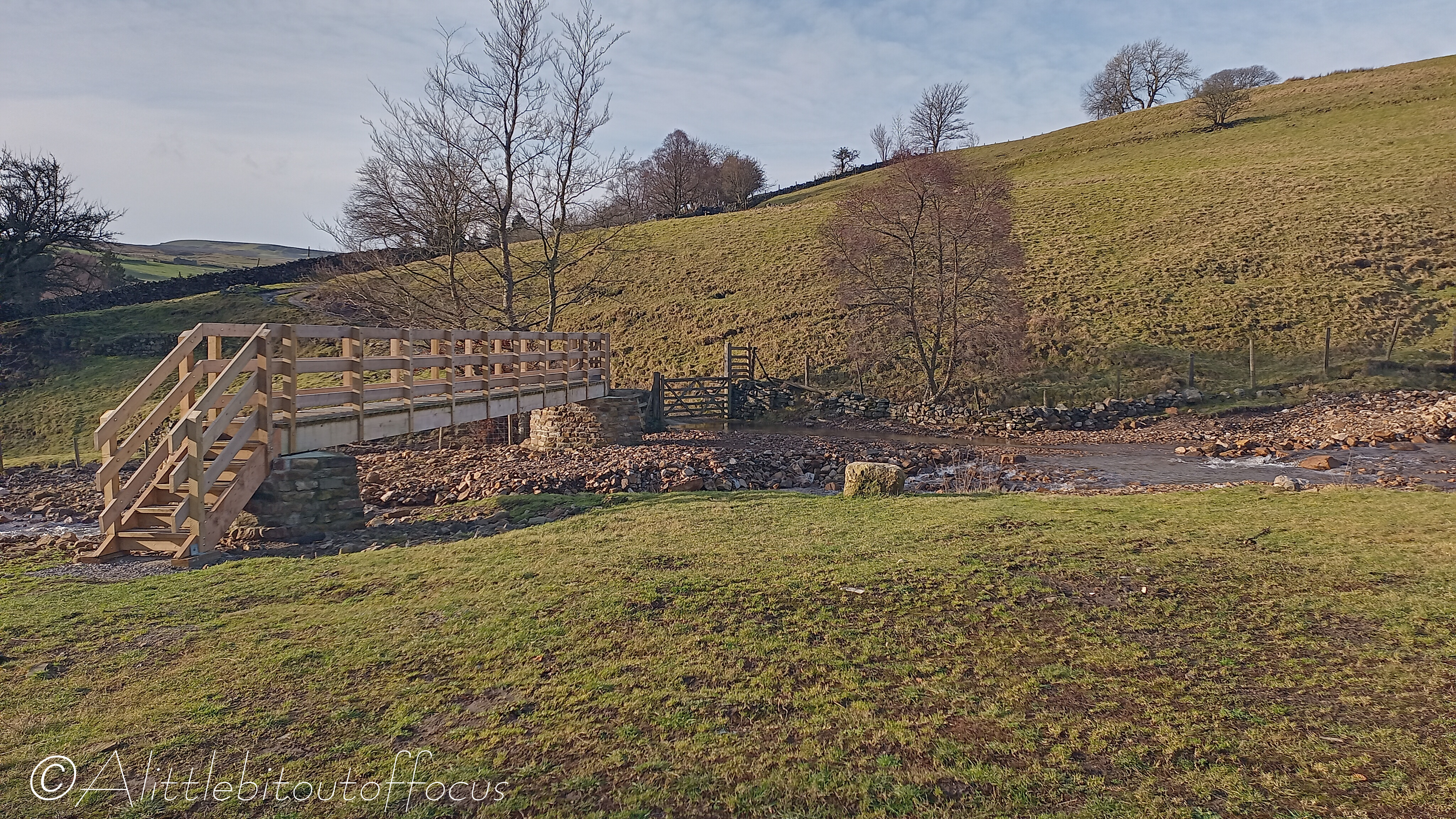
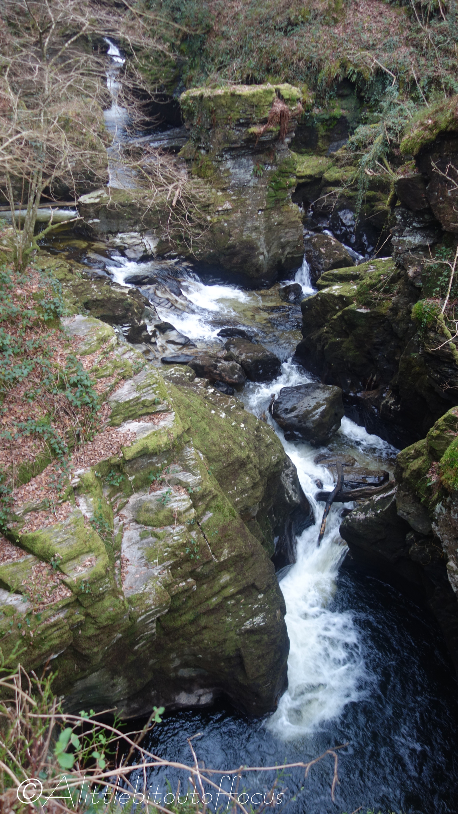
For my third walk of the week, (after everyone had departed), I decided to walk up the valley to Foxup and Halton Gill, (you have to love those Yorkshire names!). Then it was up and along the moorland ‘ridge’ and back down to Litton. With sheep all around and lambs being born in the fields, I did wonder whether I might spot a birth in action and I was close… The rather large lamb in picture 9 had just arrived as the farmer was tending to it and encouraging the mother to bond as I approached.

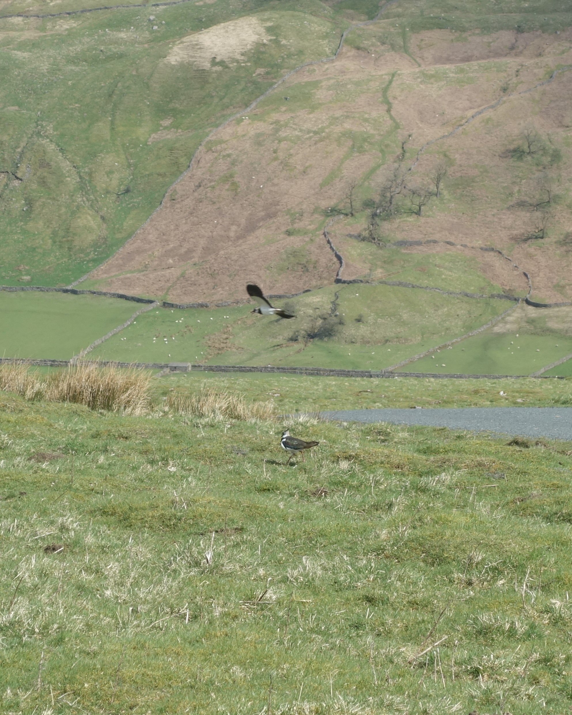
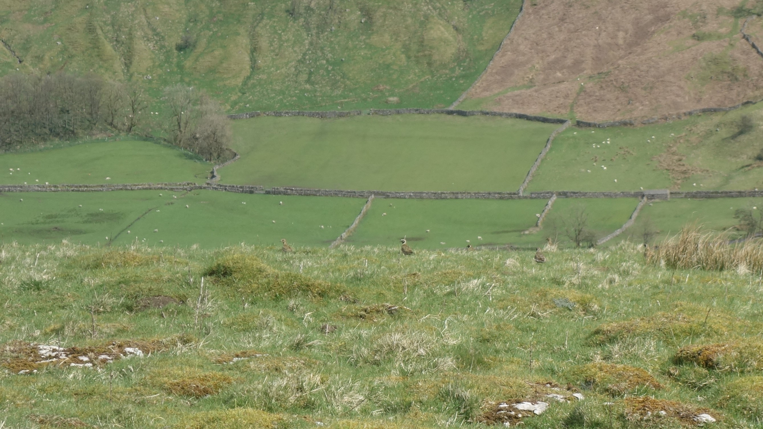
Another highlight was spotting several lapwings near the single track, moorland road over to Settle. (See pic 12). This was swiftly followed by a flock of golden plovers. (Sorry about the bad pic, 13, but that’s as close as I could get, even with the zoom).

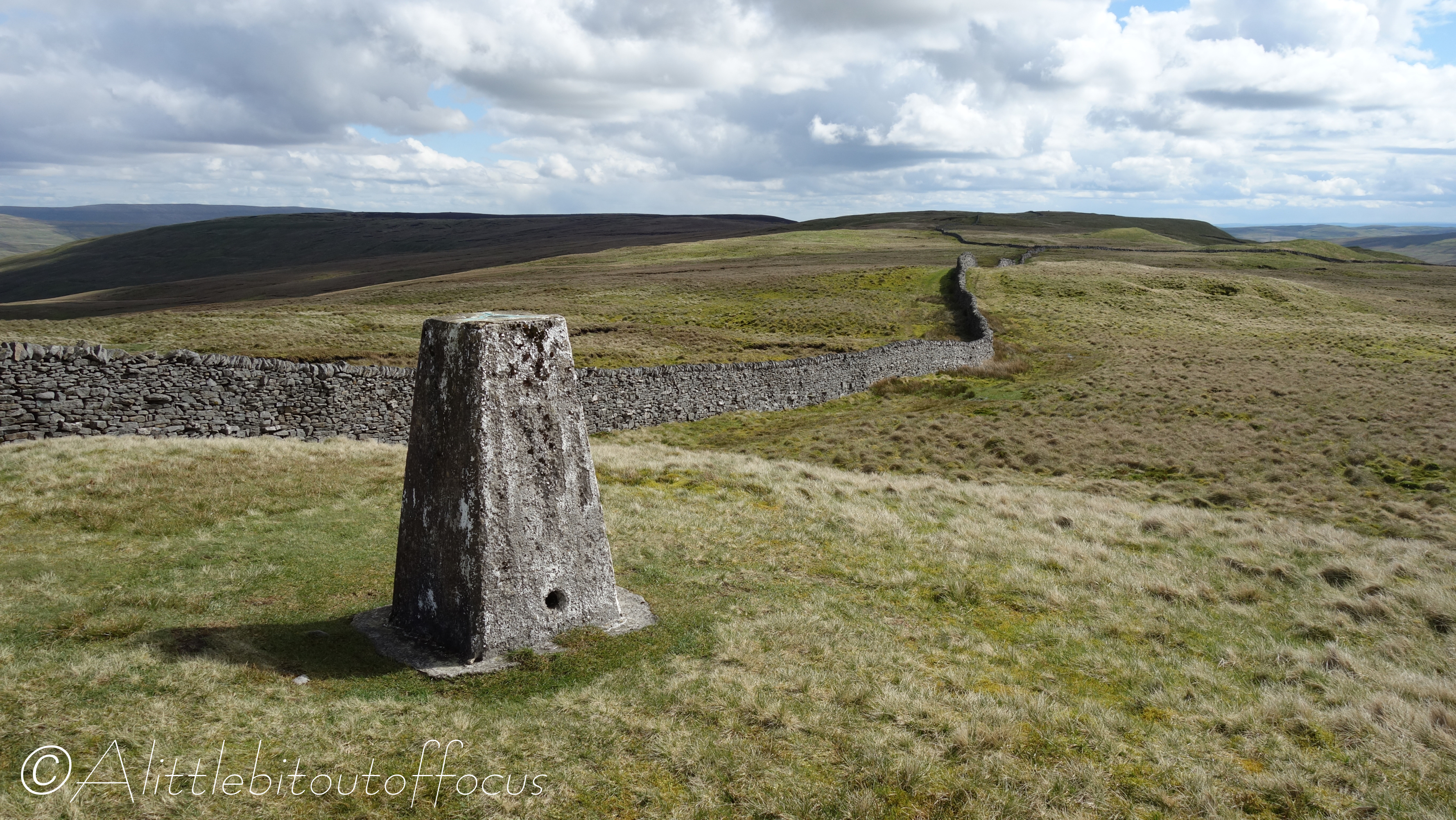
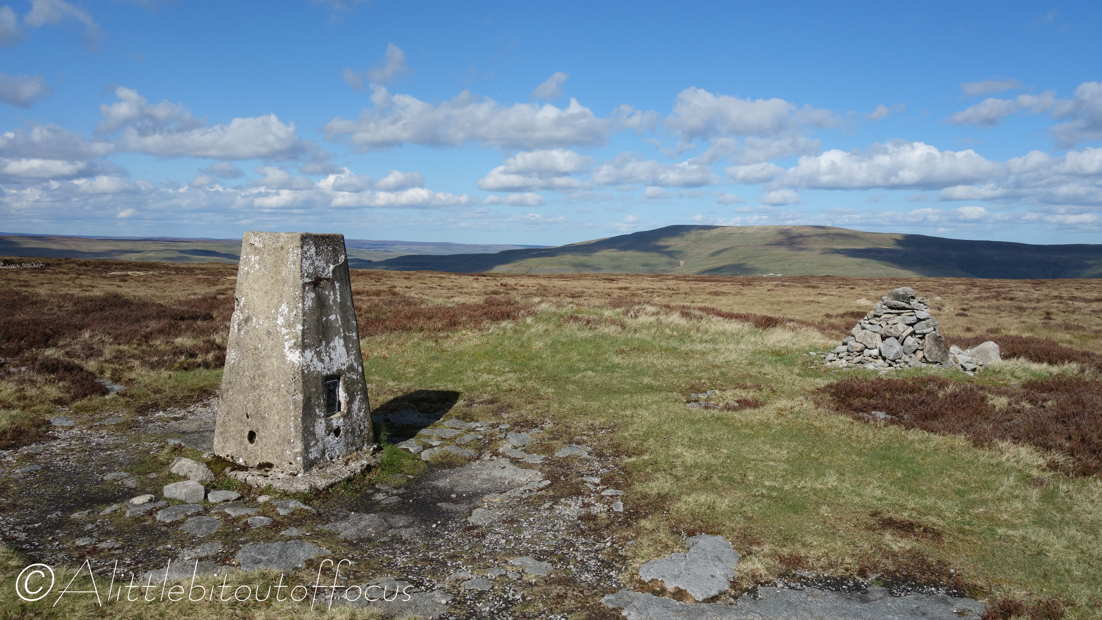
I’m not sure what it is about trig points, but whenever I see them on the map, I’m compelled to seek them out. In this case, the two in question were not on the marked paths, so I had to detour about 400 and 150 yards respectively to take their photos. (See pics 20 and 30).

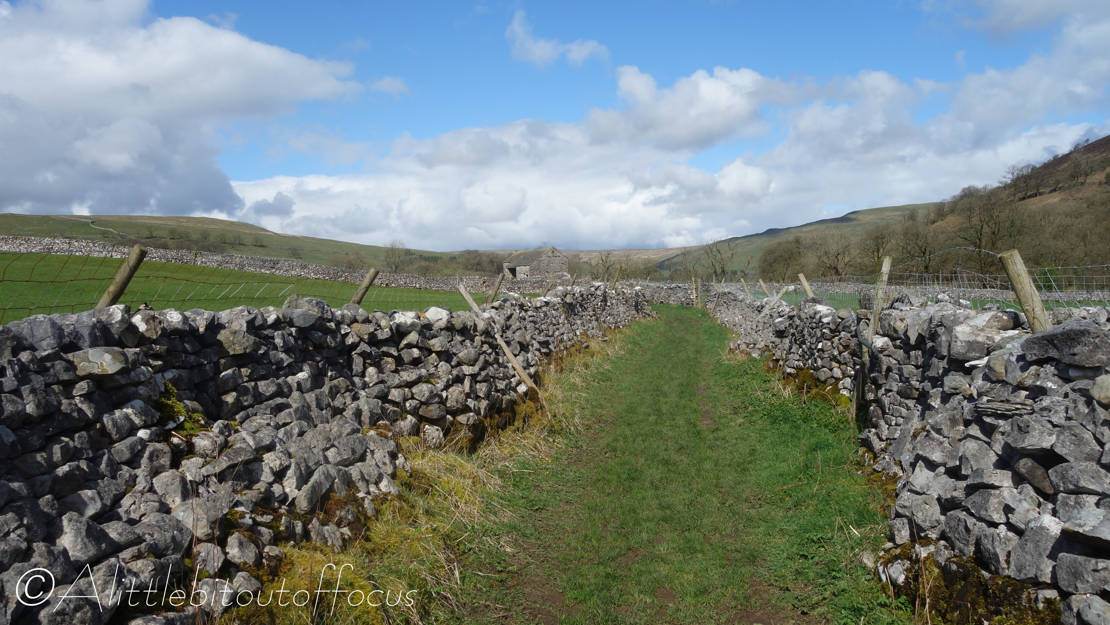
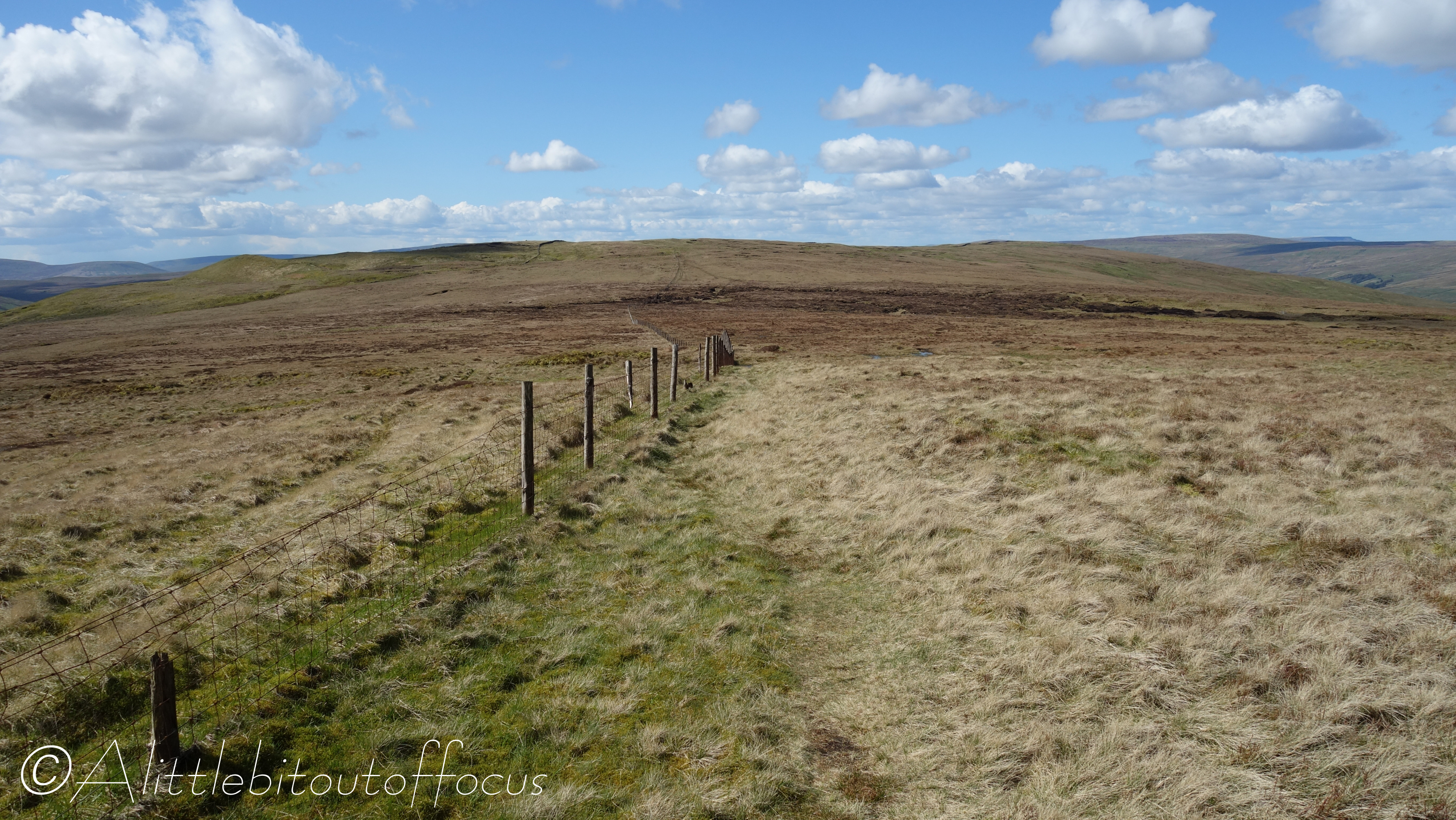
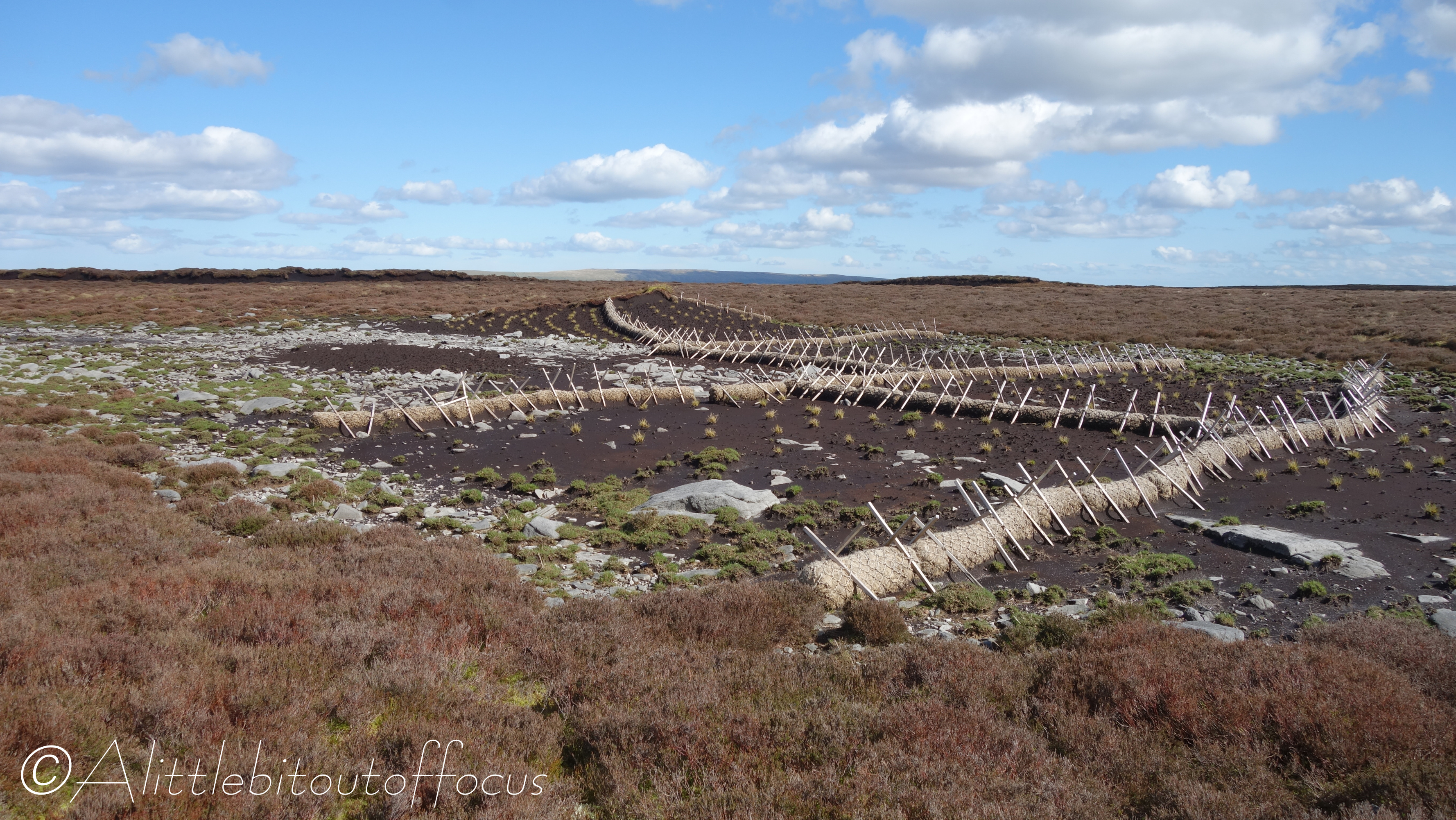
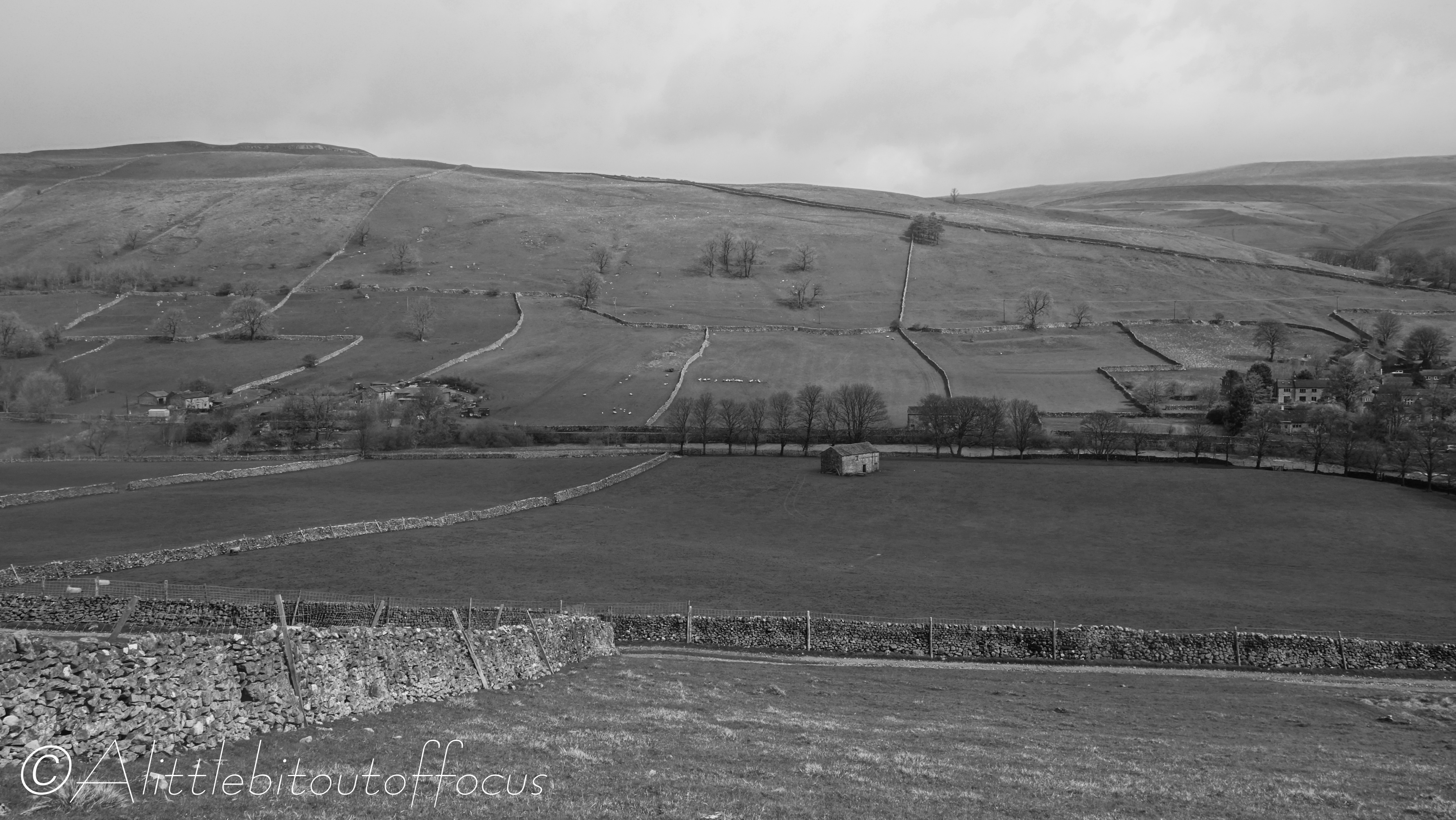
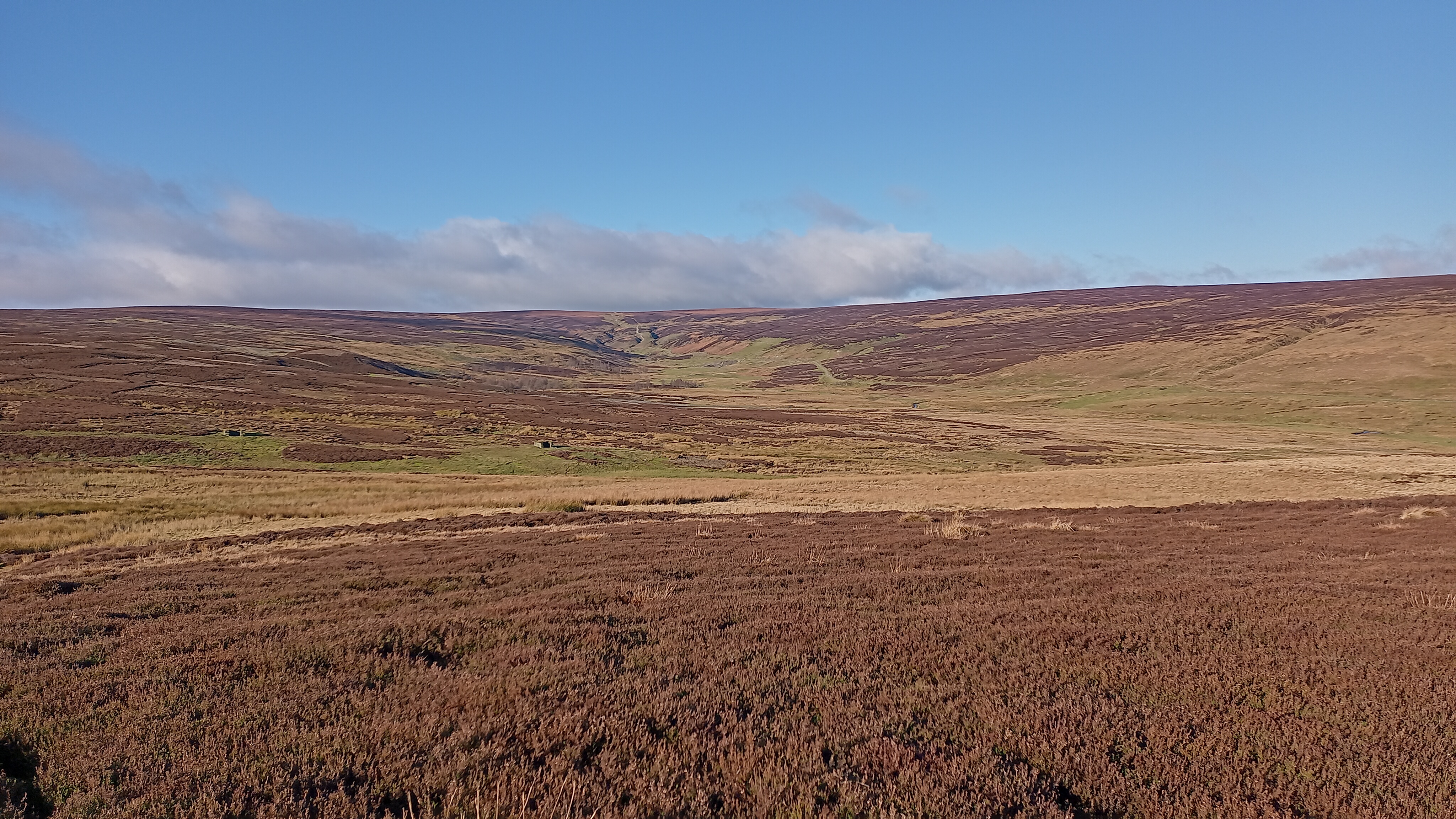
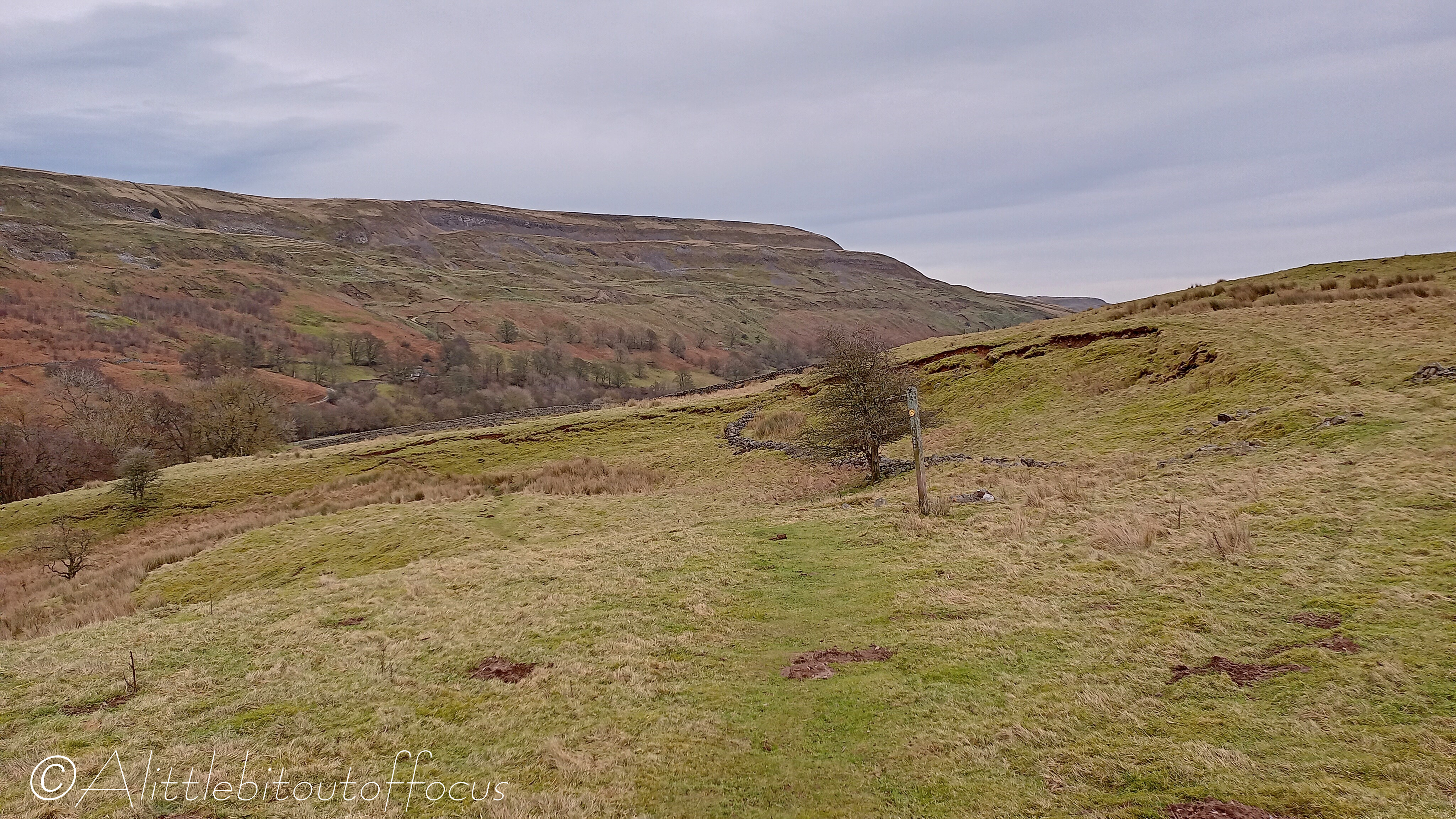
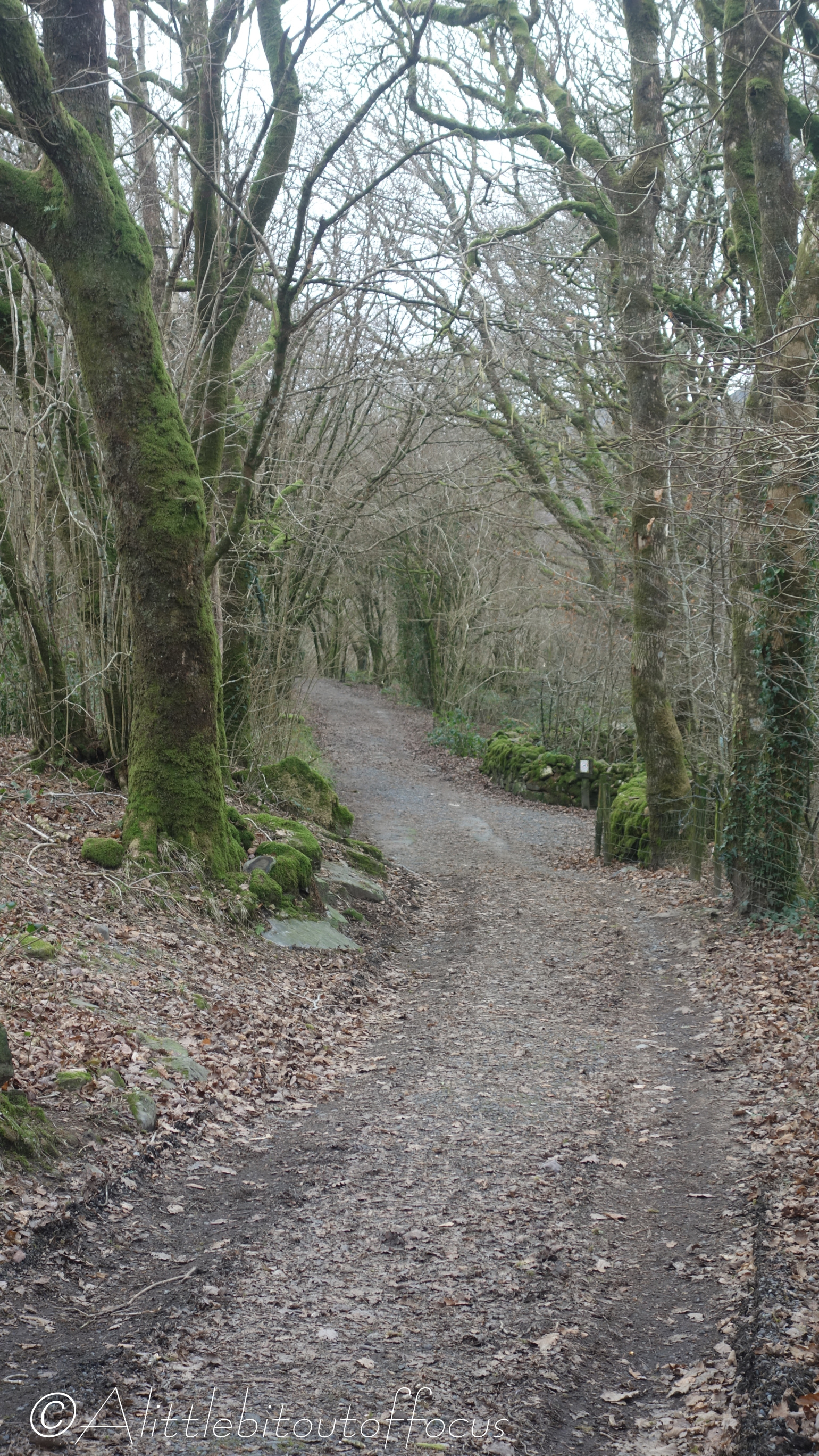
The route along the top, for the most part, followed a drystone wall which seemed to go on forever. (See pic 27). Inevitably, it was wet and boggy in places, but I couldn’t quite fathom the purpose of the structure in picture 28. The ‘sausages’ were stuffed with what looked like wool and they were held down by metal spikes. There were maybe 10 of these, of various shapes and sizes, in the space of about half a mile and I’d be grateful if anyone has any suggestions as to what they might be for. I can only assume it’s to stop further erosion of the soil and to allow the various grasses and heather to regenerate.

Circular Walk from Litton to Kettlewell and Starbotton

My mate Dave couldn’t make the party on Saturday, so he came across on Monday. The weather forecast wasn’t great, but we were determined to go out for a walk. So we chose a relatively low level route over to Kettlewell in Wharfedale. From there, we went along a section of the Dales Way to Starbotton before returning over the top to Arncliffe and then Litton (the same way as I’d been the day before). In the event we only got caught in a couple of short, sharp showers, so it turned out to be an excellent walk.

Heavy overnight rain had swelled the rivers by a good 2 feet (60 cm). The footbridge, (seen in pic 3 yesterday), was nearly under water and the stepping stones, (in pic 15 yesterday and 31 below), as well as the ford where we cleaned out boots (pic 17 yesterday) were under water!

Walk from Litton to Arncliffe, Yorkshire Dales, England

Jude and I have just returned from a week in Littondale in the Yorkshire Dales. Saturday, April 13th was a special (70th) birthday for yours truly and we’d booked a large cottage for a families to come and stay. I’d invited several of my old golfing and running mates (and their wives of course) to help me celebrate and they booked into the pubs nearby.

With, not one, but two barrels of hand pulled real ales available and copious amounts of delicious food prepared by Jude, a great day was had by all. On the Sunday, to blow away the cobwebs, quite a few of us went for a stroll along the valley, initially down the (very quiet) road to Arncliffe, then back along the riverside to Litton. My brother, Steve’s dog, Loki, and our “puppy”, Tomos, (I still can’t believe he’s not even 10 months old yet) had a wonderful time.

TransAlp 2012 (Part 1 of 3)

I was reminded the other day that I hadn’t posted pictures of the ‘TransAlp’ mountain bike ride which eight of my work colleagues and I did way back in August 2012. (I mentioned in my Trans-Swiss post of May 2020 that I would publish a post “in due course” – well, better late than never!) The route meandered along the French/Italian Alps, from Orsières in Switzerland to Monte Carlo on the Mediterranean coast.

The trip took 10 days in total and our overnight accommodation varied from the Elisabetta mountain hut (on the Tour du Mont Blanc, where we were squeezed in on the 3rd tier bunks and slept shoulder to shoulder), to a set of suites overlooking a harbour on the French Riviera!

I’m afraid I cannot remember all the places I photographed on the route (and my book is still filed away in a removal box somewhere), so my apologies for not adding text to all the images in the gallery below. But I hope the pictures will speak for themselves and give you a flavour for the trip and the fantastic weather that we had! It was such a contrast to the previous year.

Aysgarth Falls from Fremington, Yorkshire Dales, England

The Yorkshire Dales region is not for nothing more simply referred to as “The Dales”. There are smaller dales, which join up with larger dales, which then feed into the main dales, like Airedale, Wharfedale and Swaledale.* Most are named after the becks, streams or rivers which run along their valleys, but the river which runs along Wensleydale is called the Ure. I mention this exception as the river has a series of waterfalls at Aysgarth, which can be just a trickle in the summer, but a raging torrent after a prolonged downpour. And we know what the weather has been like in the UK recently!

So it was that I decided, for my second walk, to go from our cottage in High Fremington, in Swaledale, over the moorland, to Aysgarth, in Wensleydale. On the way, I discovered an area that even I, as a relative ‘local’ and regular visitor to the Dales, had never heard of, called Apedale. (See pics 10-13). There’s even a hill to the north of it called Gibbon Hill! (See centre of the Route map).

With my thanks to Bugwoman for the identification of the Lichen in pic 7 and my wonderful wife, Jude, for coming to pick me up. 👍👍😊

* Wiki tells me, if my counting is correct, that there are 51 differently named dales in total, 37 have water flowing east to the North Sea and 14 that empty west into the Irish Sea.

Arkengarthdale Walk, taking in Fremington Edge, Yorkshire Dales, England

How many people do you know who go on holiday and forget to take their camera? Nobody? Well, you do now! Silly Mike forgot to take his when Jude and I went to the Yorkshire Dales last week! We stayed in a rented cottage in a small hamlet called High Fremington, which is less than a mile from Reeth in Swaledale.

The weather was relatively kind and I managed to get out for two longish walks. Just behind the cottage there was a feature on the map called Fremington Edge (at around 1,500ft or 450m). It’s not particularly high, but it had to be done, as did the ‘reccy’ (or checking out) of a small village called Booze. (I kid you not!) Perhaps surprisingly, there is no pub in Booze (well, it is only a group of about 6 or 7 houses), but there were two along the route and two more in Reeth. Not that I visited them all on this walk of course!

My apologies for the quality of the images below, they were all taken on my (not so expensive) mobile phone, but I hope you still get a feel for the walk.  

Ceunant Cynfal (Gorge) Walk from Llan Ffestiniog, N. Wales

It didn’t take me long to check out the route which I posted yesterday, (since it was only about a mile long), so I also went to look at another, slightly more varied route, just down the road at Llan Ffestiniog. I’d seen that there was a nature reserve and waterfall marked on the map, but I didn’t expect to come across a rainforest… As the information board describes, (see pics 8, 9 & 10), the ancient woodland in the gorge is of international importance, being home to over 150 mosses and liverworts and rare lesser horseshoe bats. I also discovered that the river eventually flows into the river Dwyryd which runs right past our house. 😊

Just a note regarding some of the Welsh/English naming in both the title above and image descriptions below… I often see signs written in Welsh and English, like Rhaeadr Cynfal Falls. Now you might think that the Falls are called the Rhaeadr Cynfal Falls, but no… They save a bit of repetition and ink by putting the two languages together, since, in Welsh, most times what it is, like a waterfall (or rhaeadr), comes before the actual name, like Cynfal. It’s actually Rhaeadr Cynfal (in Welsh) and Cynfal Falls (in English). It can get very confusing, so, I’ve tried to simplify things by using the Welsh where I can, like Ceunant Cynfal, but put the English translation in brackets (in this case, gorge) afterwards.  I hope it helps! 

Coed Cymerau Isaf Walk

“Where have you been?” I hear you all saying. 🤔 (And a big THANK YOU to those of you who did contact me to ask if I was OK. I was genuinely touched by your concern). But, the truth is, I’ve not been anywhere, very interesting anyway. That’s why I’ve not really had the opportunity to take any photos. OK, Jude and I did go to the County Show towards the end of August (and I may yet post some pictures of that), but otherwise it’s been a case of playing golf and looking after a new addition to our family, called Tomos…

Jude and I have been considering having a dog for a while but, as we’re always going here, there and everywhere, we’ve never really found the ‘right time’ or had the opportunity. However, last summer, we bit the bullet and chose Tomos from a litter of 9 English springer spaniels. As you can see from the pics below, he’s grown somewhat in the past 6 months… And, as any dog owner will tell you, when they’re young, they do take up a lot of your time. 

It was thanks to Tomos that yesterday I went to ‘reccy’ a short walk around Coed Cymerau Isaf (wood). As you can imagine, he likes to run free, off the lead and I was looking for somewhere a bit different from the usual fields and beaches nearby. Key elements are a relatively enclosed path with a lack of sheep or other animals for him to chase and this walk looks to be perfect. 👍👍😊

The Dee Way, Part 2, Day 5 (of 5), Parkgate to the Royal Liverpool Golf Club, Hoylake

When Dave Berry created this route and wrote his book, I don’t suppose he envisaged a golfer doing it in reverse, as a sort of pilgrimage to the Royal Liverpool Golf Club. Well, that was more or less what it was, especially with The Open taking place there this year. Though I have to say that I was slightly disappointed upon arrival, as the course was not as ‘awesome’ as I’d imagined, partly perhaps because it was still covered in stands which were gradually being dismantled. (It looked just like a building site, with official entrance and exit gates for all the comings and goings of the articulated lorries).

The last ‘leg’ was also pretty boring because much of it followed an old, disused railway track, now turned into a recreational path cum cycleway, which is good, but, with trees and bushes almost all the way alongside, there were very few ‘views’ to speak of – apart from the odd glimpse of another golf course. (See pics 8 & 11). 👍😊

By the time I ’emerged’ at West Kirby, the wind had got up and it was nice to see a lot of people taking advantage of the various water sports now on offer. Though why the guy was running where he was (see pic 19), is completely beyond me! 🤔

My apologies for the quality of picture 14. I saw 4 or 5 similar looking dragonflies during my walk but it was the only photo I managed to get!

The Dee Way, Part 2, Day 4 (of 5), Chester to Parkgate

As I looked out of the window before setting off, on what was due to be the longest section of the whole route at 15 miles (or 24km), the rain was pouring down (as was forecast for most of the day). So I donned my waterproofs and set off… To my amazement, as I stepped out of the B&B door, it had stopped and it didn’t rain again all day! 👍👍

The initial part of the route left Chester via a section of the city walls and along the Shropshire Union Canal. It then meandered through Saughall before crossing the A494 and A550 and reaching the parish of Shotwick, where I had lunch on the ‘2000’ bench and took a small detour to see the church. (See pics 7 to 20). From there it went through the delightfully named village of Puddington and past some beautiful houses in Burton. (Check out the bus stop shelter in pic 22, which not only had a bench with cushions, but also books to read while you waited for the bus!) From then on the path hugged the east side of Dee estuary, where I noticed hundreds of sheep grazing on the marshland. (See pic 27).