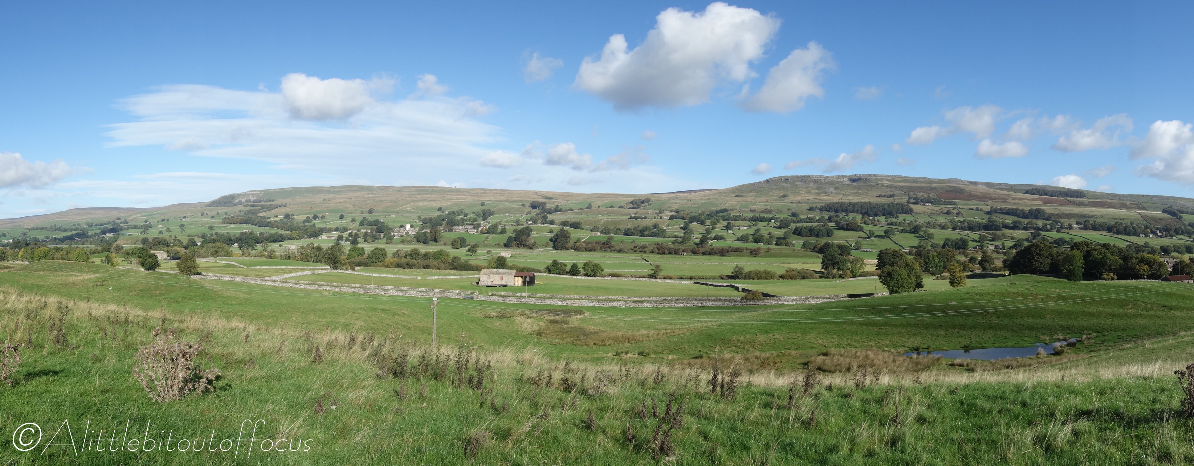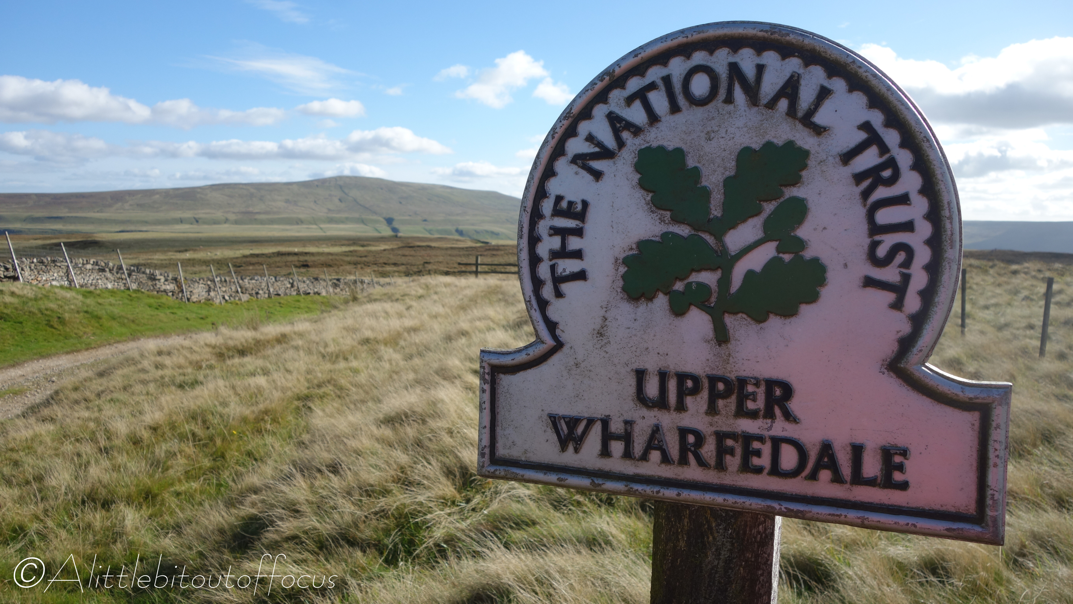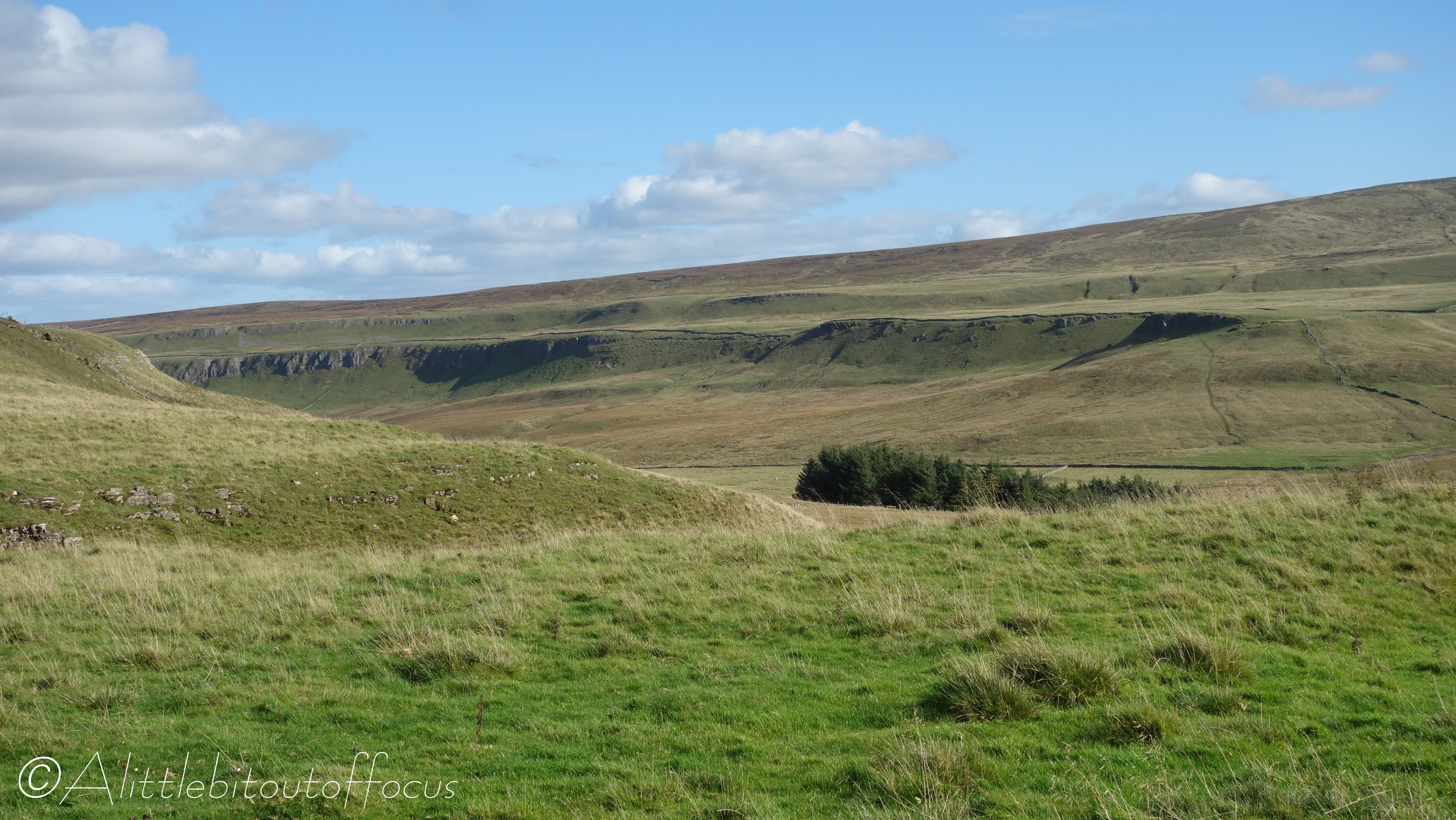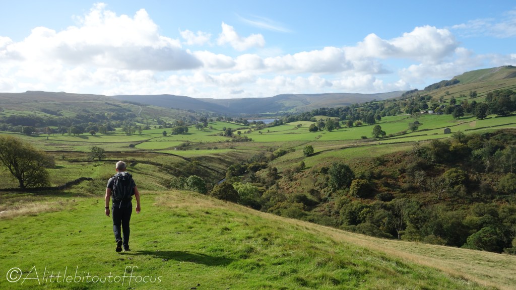
Askrigg to Buckden

This time I arranged to do the full circuit (last weekend) with 3 other friends, Tim, Liam and Dave, though adopting our tried and tested relay format, where 2 people do one stage and the other 2 drive to the end of that stage, park the car and walk to the end of the next. When the first 2 arrive at the car, they drive to the end of the 2nd stage, where we all rest for the night – usually in an Inn or B&B. 🍺😋👍

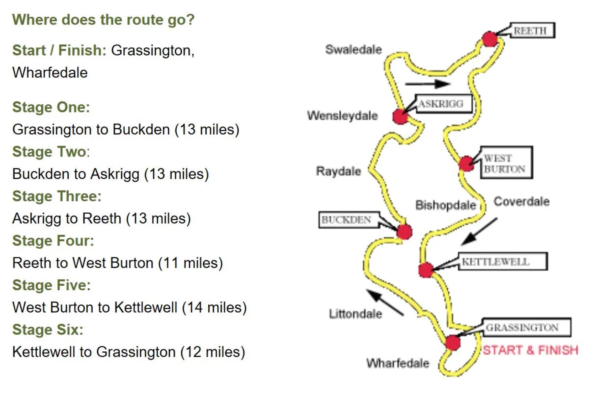
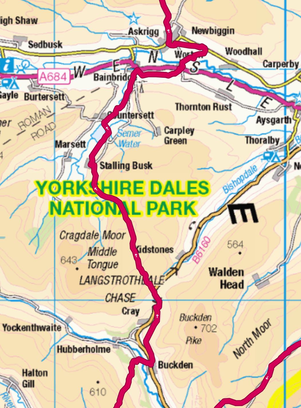
We decided to meet up and start at Reeth and, to make it slightly different for me, go in an anticlockwise direction. So on Day 1, (Saturday), Liam and Dave walked to Askrigg, while Tim and I walked from Askrigg to Buckden.

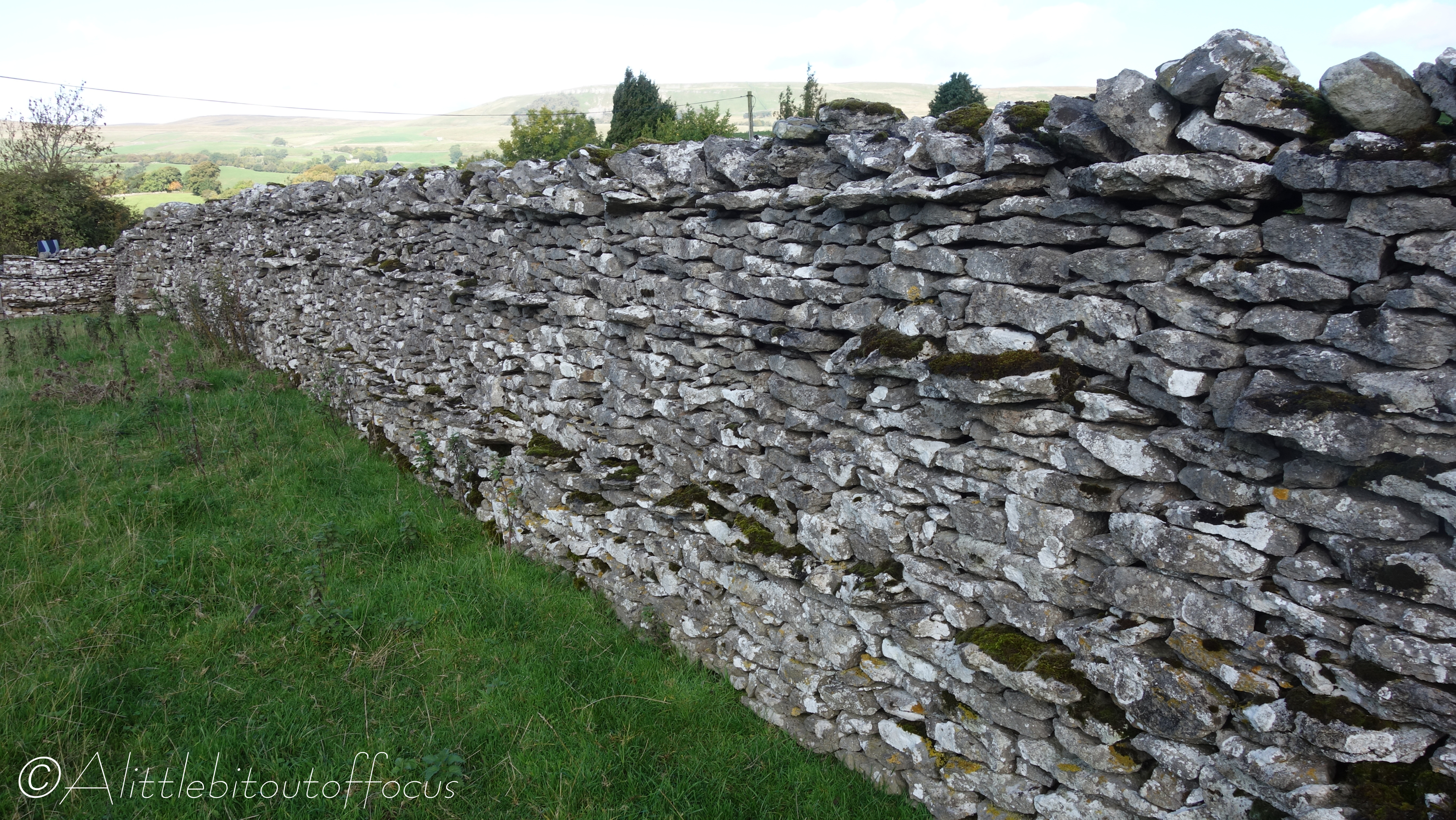
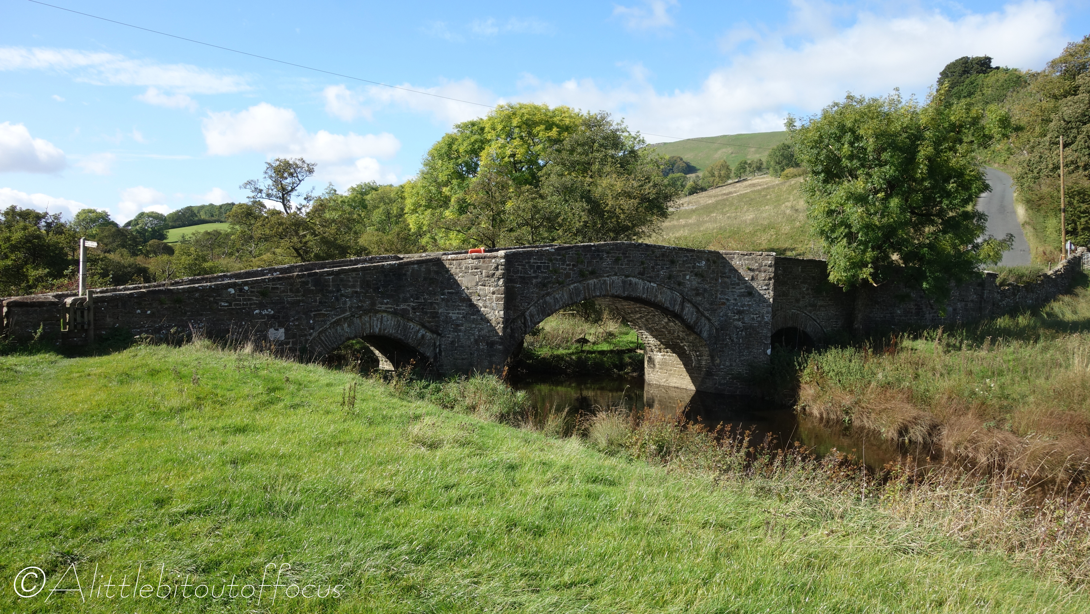
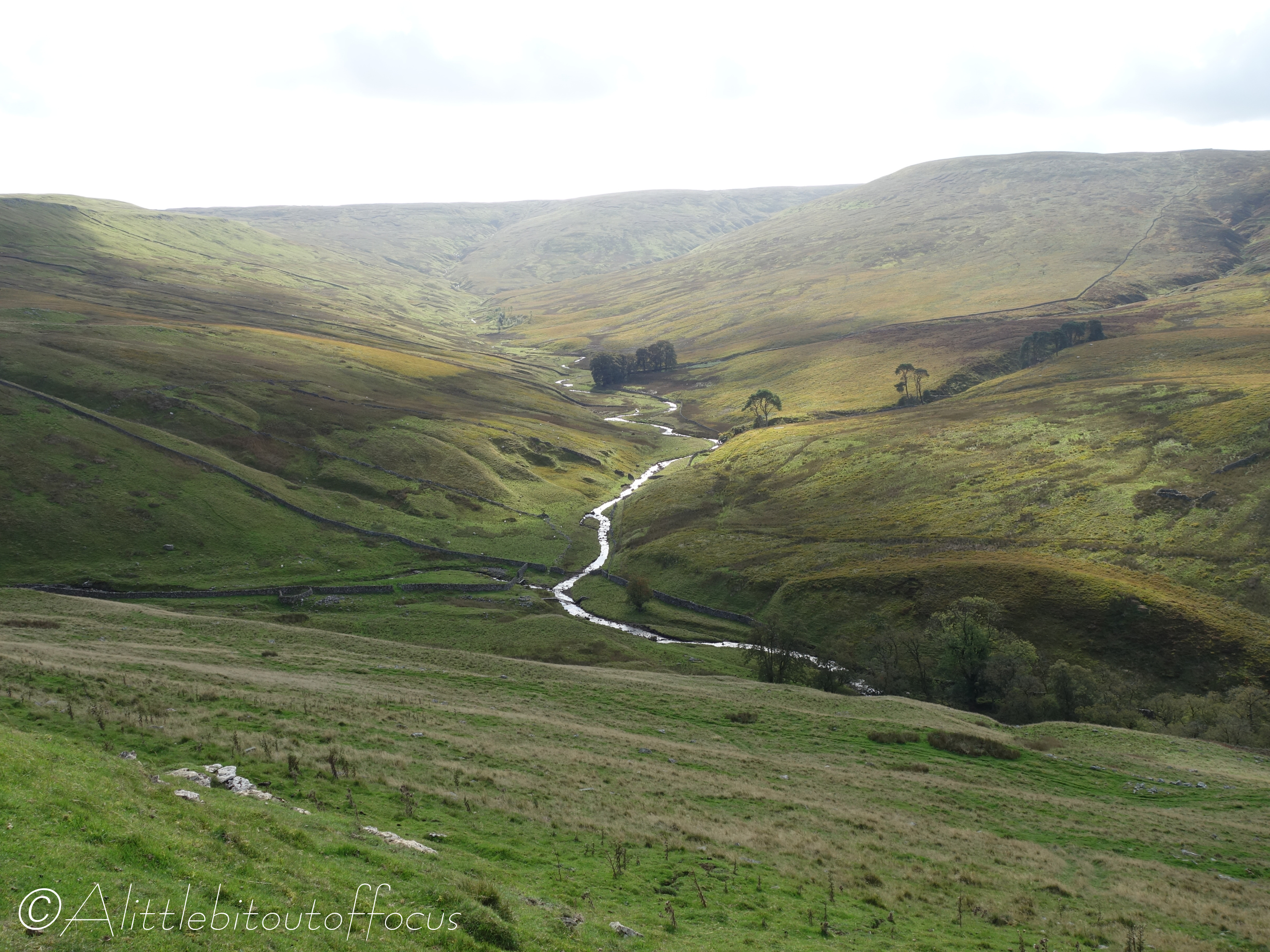
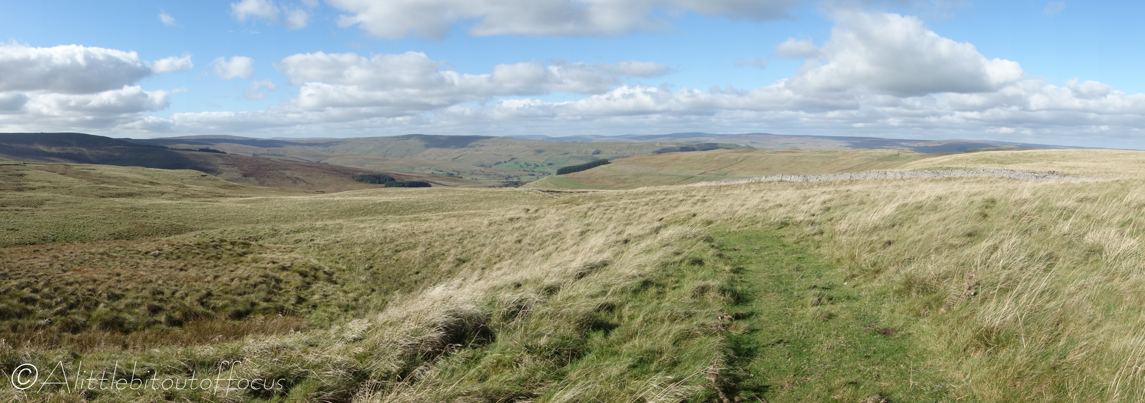
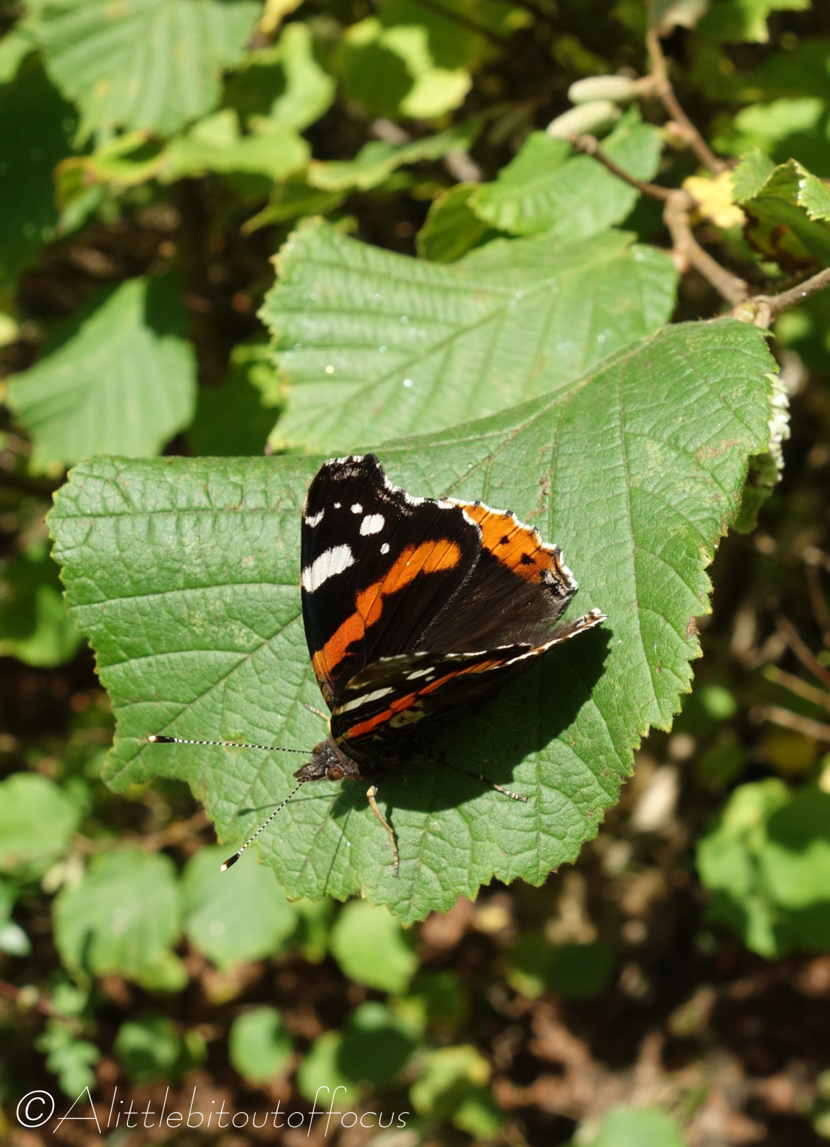
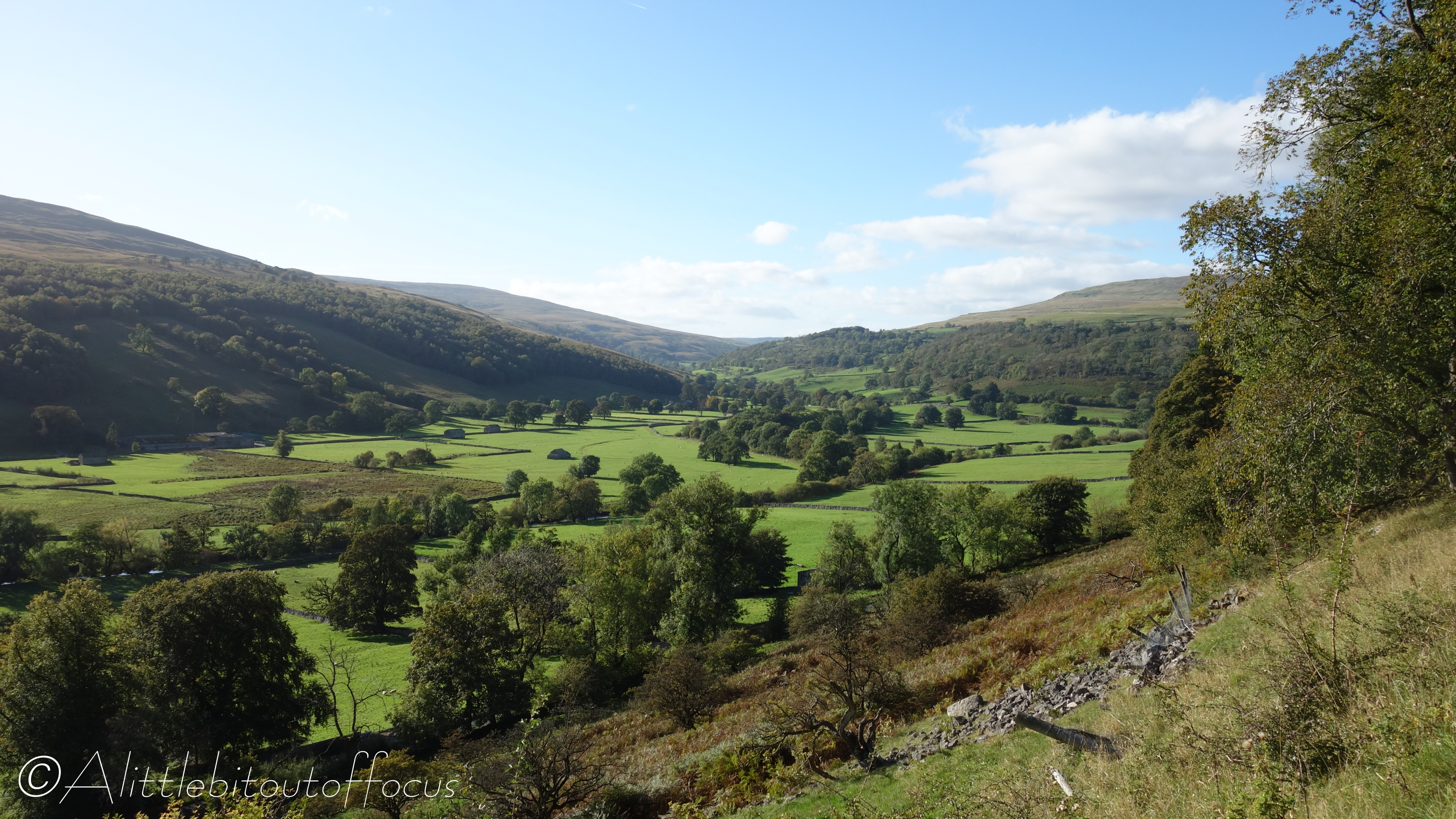
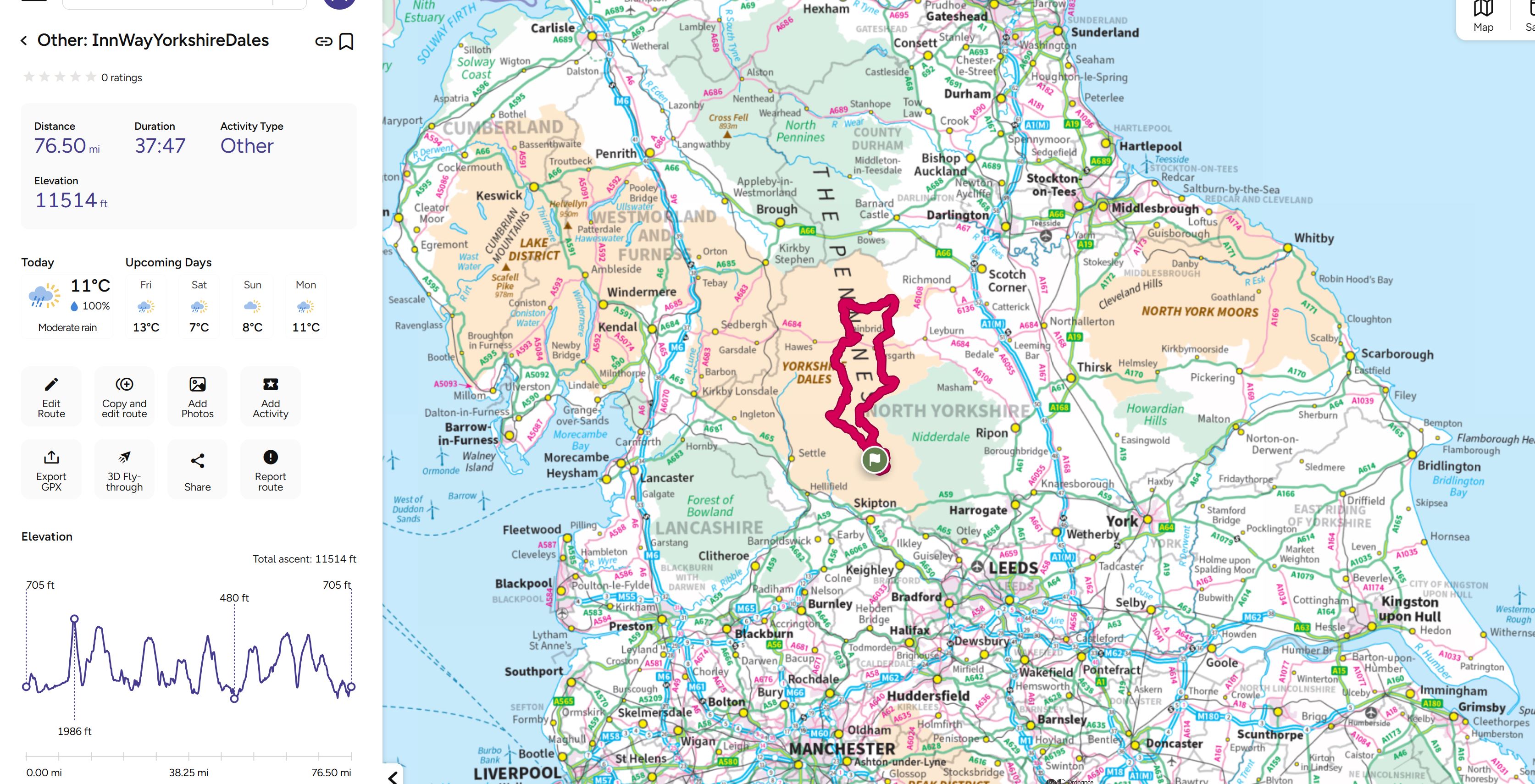
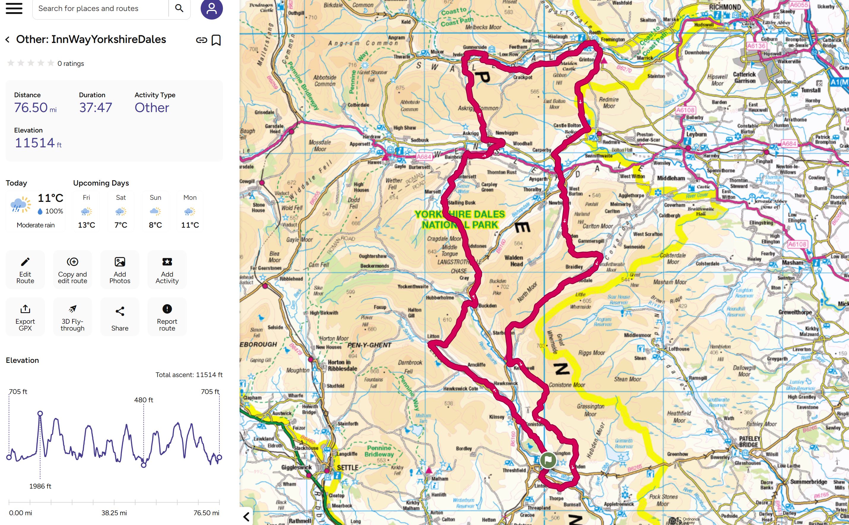
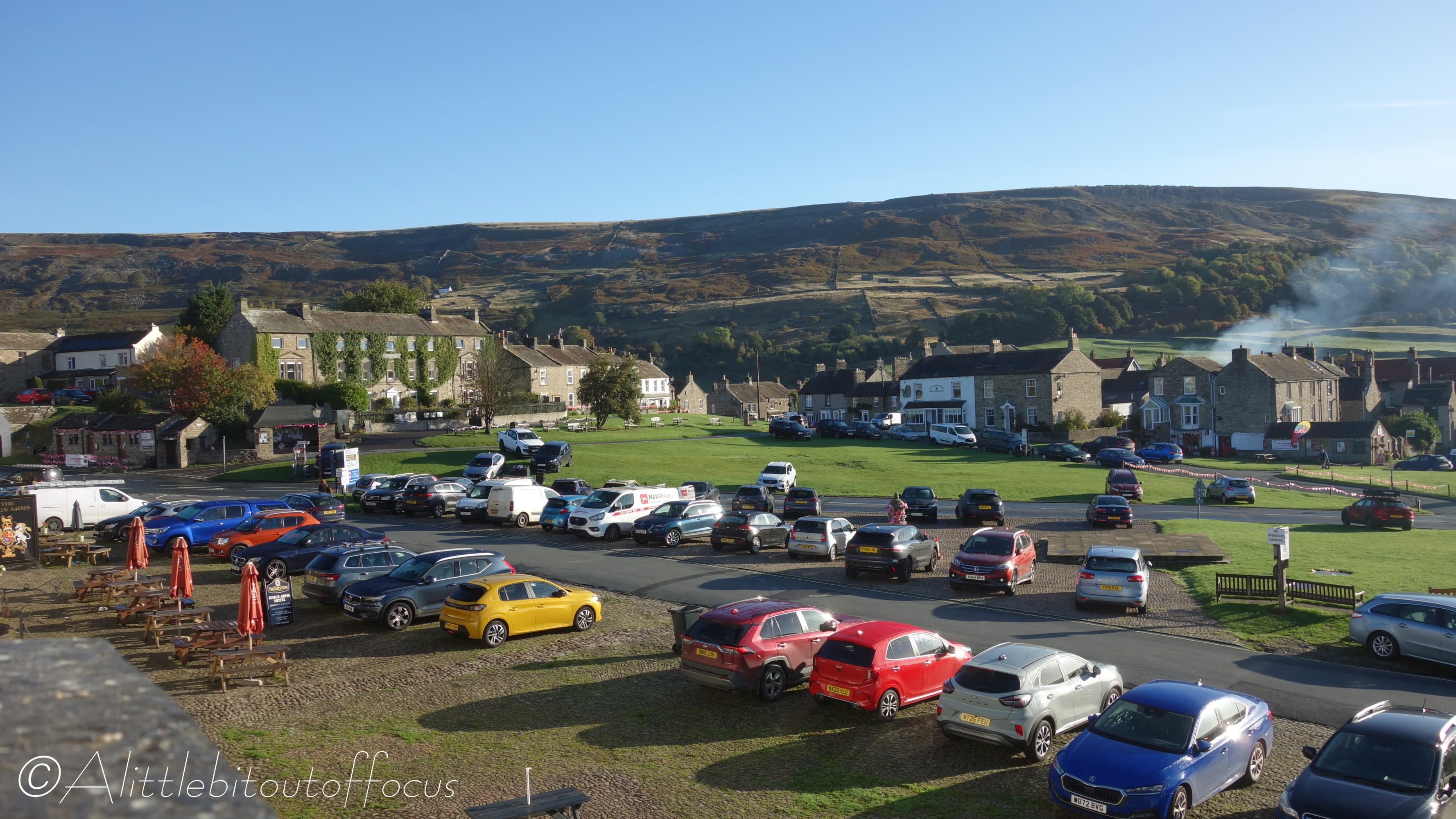
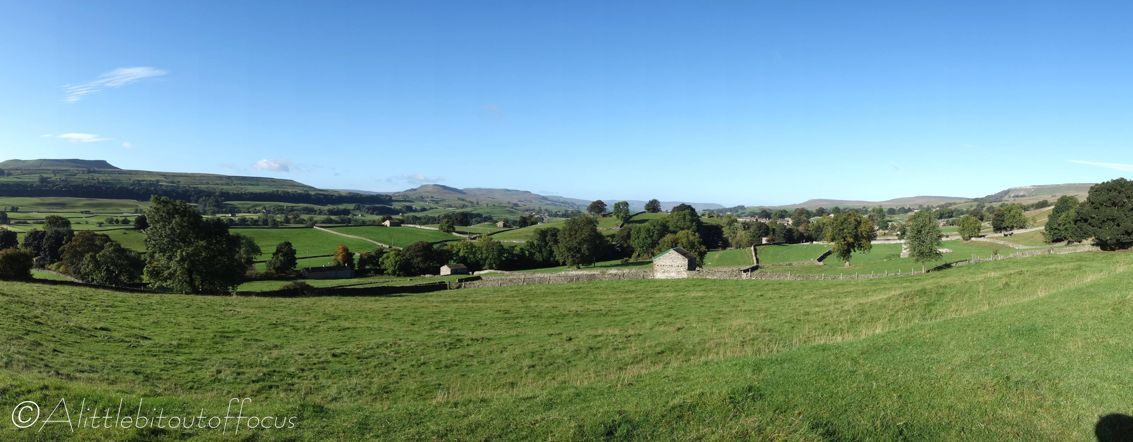
The maps at the end of the gallery show the full route and its locations. Please click on any photo to get a full screen of each image (and use the right and left arrows to page forward and back as required).
10 responses

  1. restlessjo Avatar

    It’s a lovely part of the world. Fantastic when the weather is good xx

    Liked by 1 person

    1. Alittlebitoutoffocus Avatar

      Yes, we got lucky on Day 1, absolutely fabulous weather. It was Ok on Day 2, but a bit murky, shall we say, on Day 3 (at least for the morning).

      Liked by 1 person

  2. Anita Avatar

    What a beautiful part of the country! Your photos really capture the charm of the Yorkshire Dales, and it looks like a wonderful walk with friends. Thanks for sharing, Mike!

    Liked by 1 person

    1. Alittlebitoutoffocus Avatar

      You’re very welcome Anita. It is my aim to share the look and feel of the walk for everyone to enjoy. 👍👍😊

      Liked by 1 person

  3. Laura Newhampshire Avatar

    A couple of things:
    1) I’m late to viewing these hiking posts, this time by choice. WP actually alerted me that you had new posts up. 🎉What you don’t know is that I want to block out quality time for certain blogs. Yours is one of them. Some blogs are easy to do a quick read, like/comment, and move on. I like to savor yours. 🙂 This week has been trying, so this was the first time I had enough time to do your terrific photos justice. 💜
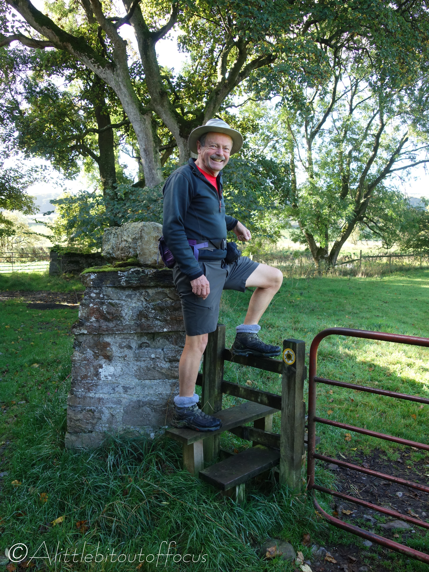
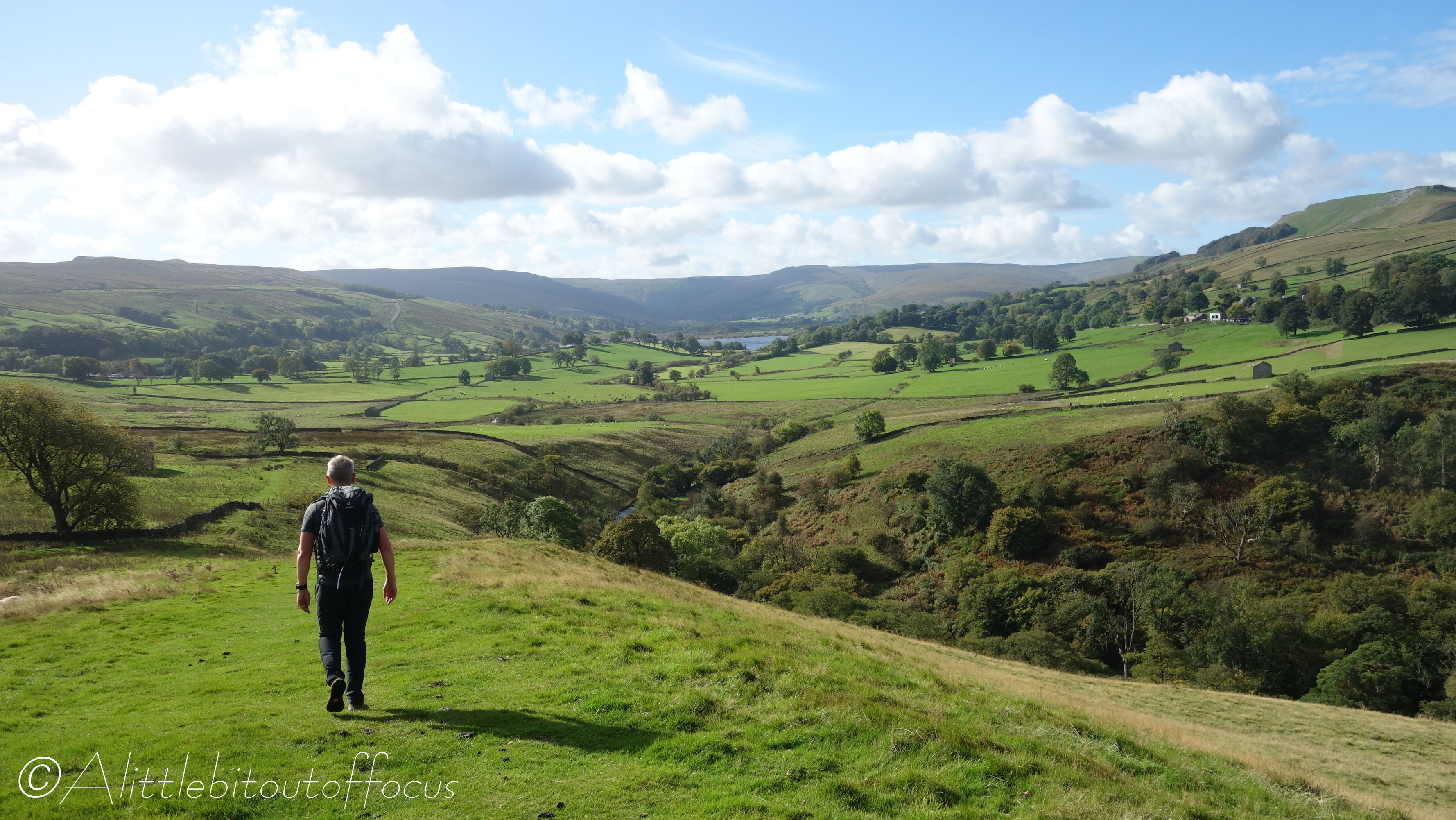
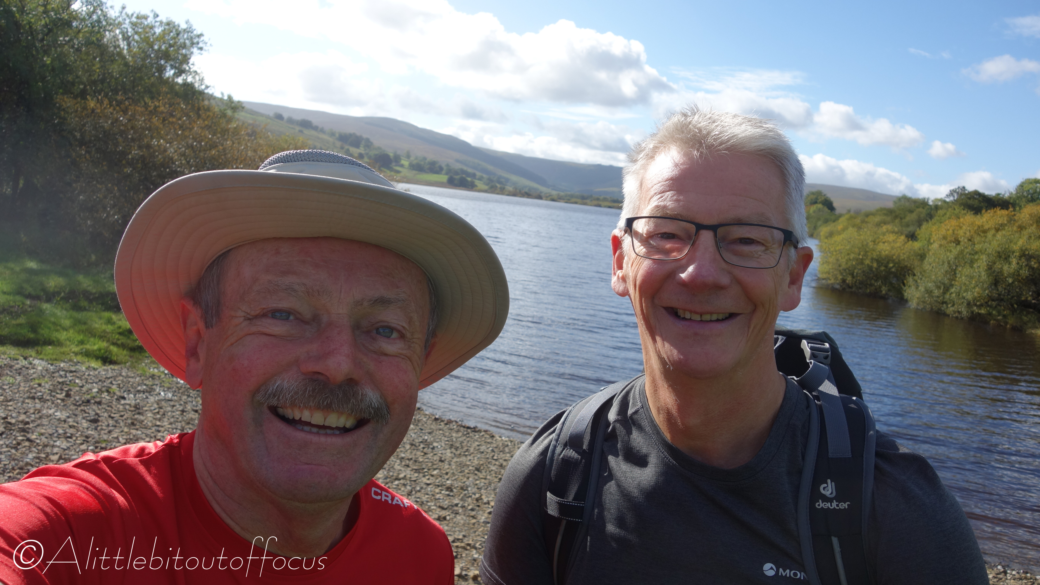
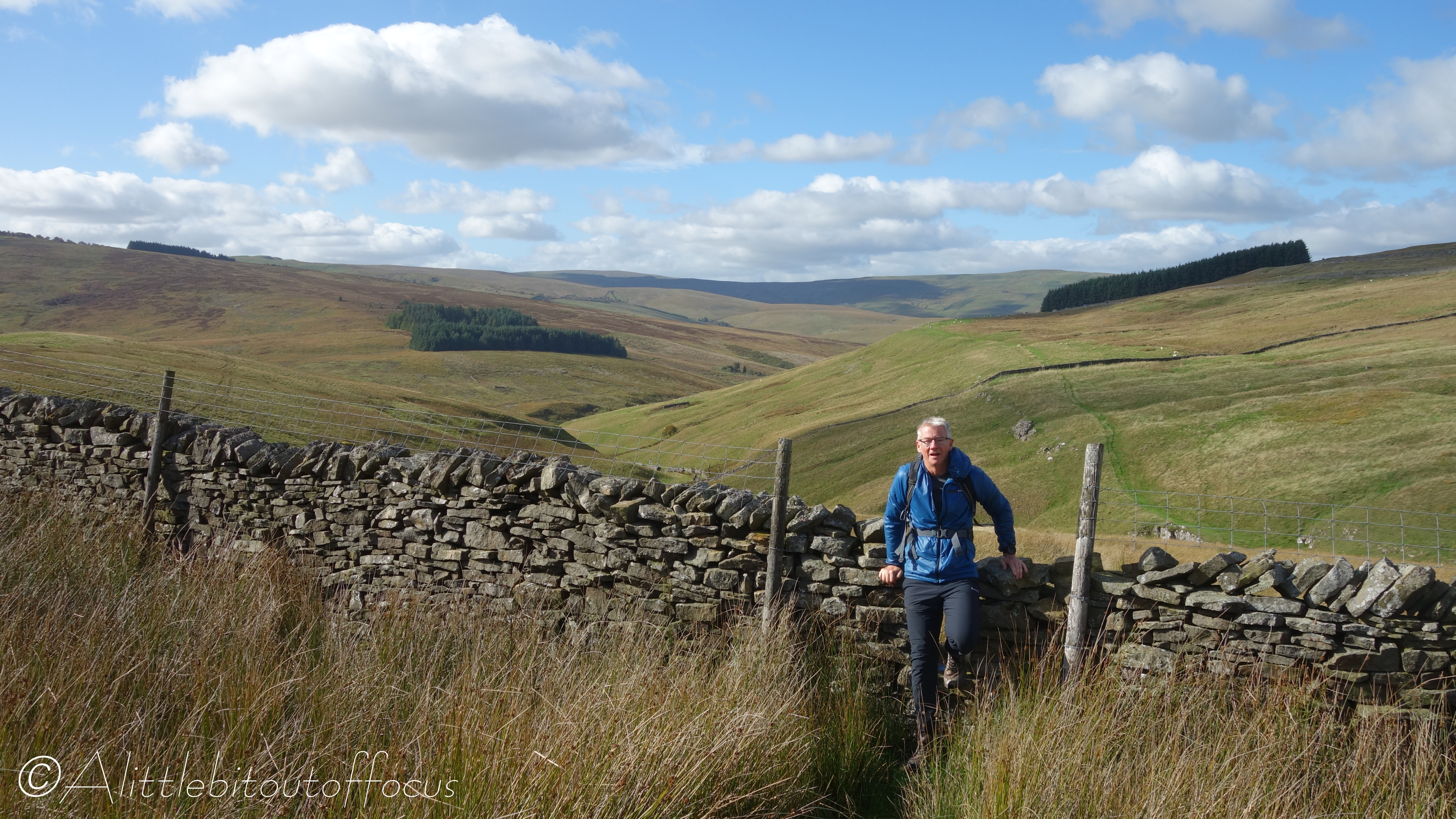
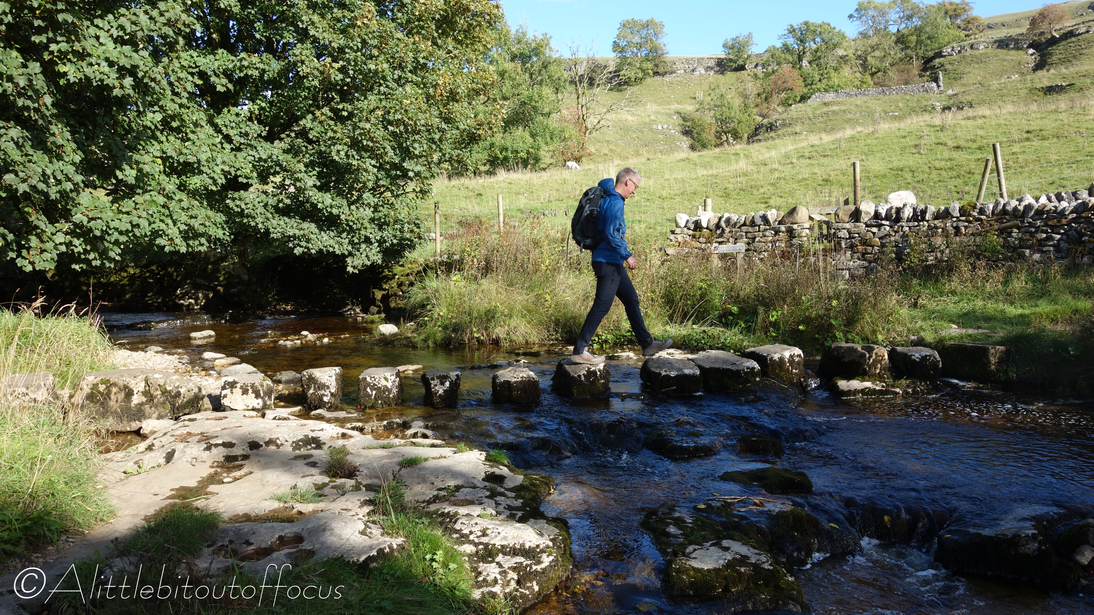
    2) GORGEOUS. So many lovely photos. I can see why you picked the one you did for your feature, though. Adding your friend to the frame gives the photo a little extra. That’s not always the case, but it was for this one. Love it.
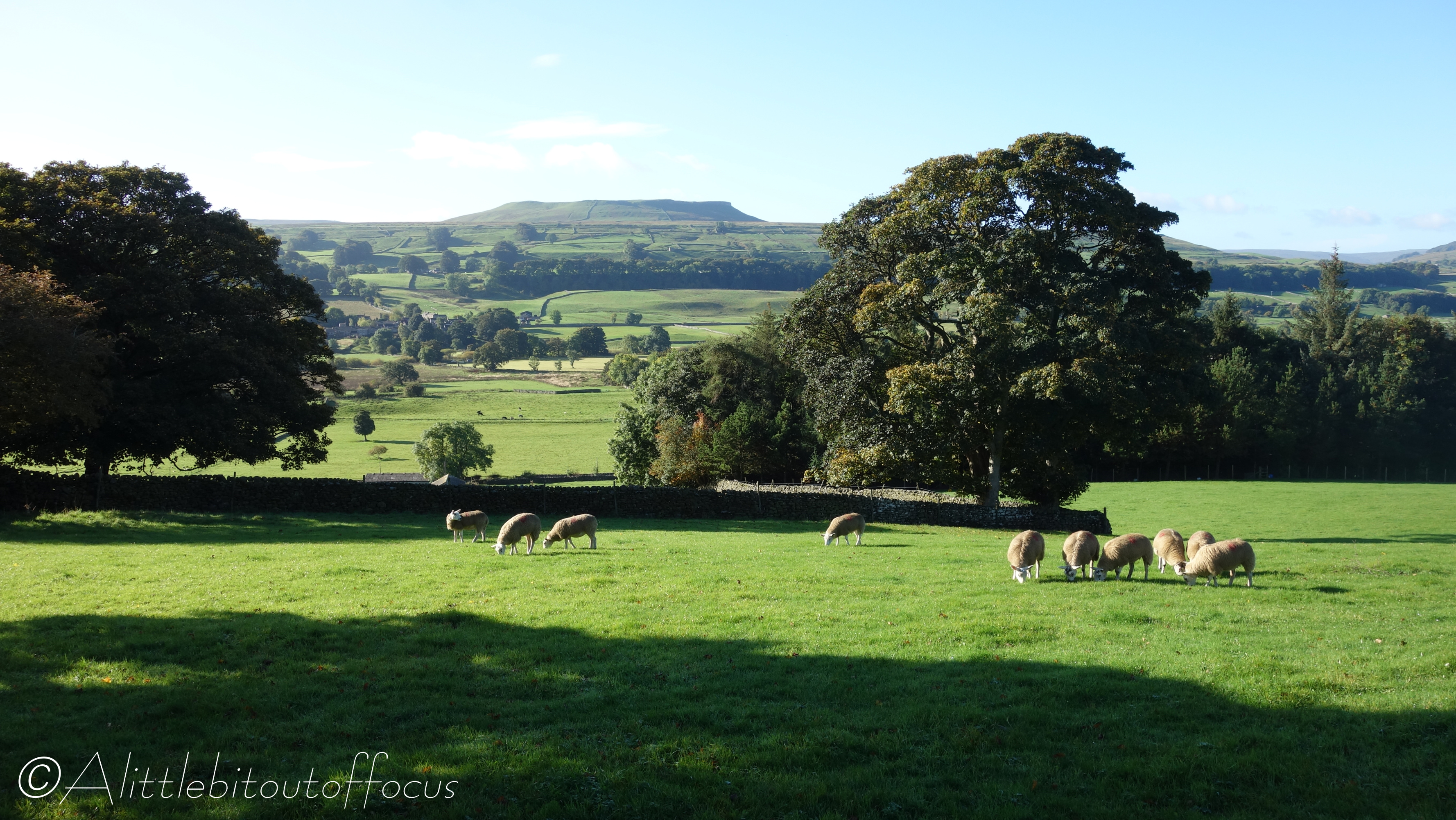
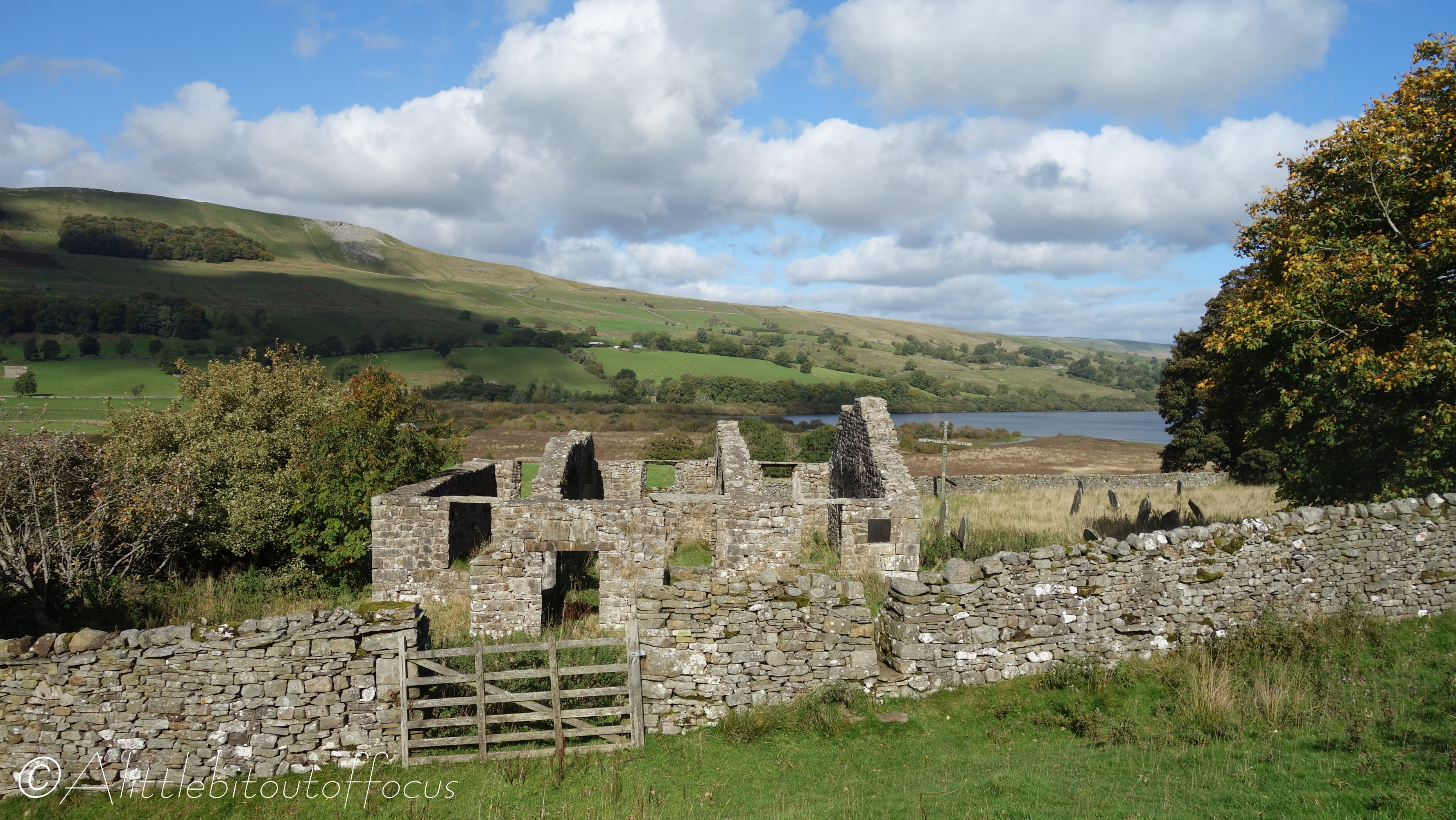
    3) In the feature photo and a few others, things are SO green. But I noticed a lot of brown grass in others. Is that normal for the area, or was that residual from the droughts I know some of the UK has been experiencing.
    4) As always, I appreciate the maps, and um, erm… the Yorkshire Dales weren’t exactly where I thought they were. LoL. 🤔I got them the correct amount of “north” but thought they were a tad more to the west. Good to know.

    Liked by 1 person

    1. Alittlebitoutoffocus Avatar

      Thank you for your lovely comments M. I’m glad you like to take your time over the photos. I’m sure there’s a lot you will learn from some of them. I’m not sure where you saw the brown grass. That could simply be the longer type of grass, which doesn’t really go green, or the bracken on the hills, which turns brown in the autumn. I see I have a few more comments to read and approve, so I’ll press on… 👍👍😊

      Liked by 1 person

  4. Laura Newhampshire Avatar

    And I meant I thought the Dales were a tad more to the east, not west. For some reason, I get that confused in Britain. Weird.

    Liked by 1 person

    1. Alittlebitoutoffocus Avatar

      No worries. Yorkshire is a big county almost stretching from coast to coast.

      Liked by 1 person

      1. Laura Newhampshire Avatar

        That means I need to go to some maps and do more geography lessons. 🙂

        Liked by 1 person

        1. Alittlebitoutoffocus Avatar

          I’m sure you would do much better than my knowledge of the States. Think of it as something to look forward to…
          Cutting across the north of England you have: The Lakes (Cumbria) on the left, then the Pennines running down the middle (this range of hills runs through The Dales and then to the Peak District further south – almost into the Midlands*) and the North York Moors on the right.
          *That’s the Midlands of England of course. I was once involved in a relay race from John O’Groats (top right of Scotland) to Lands End (bottom left of England) and half way was at Shap, which is only just into England from Scotland. Gleneagles was a quarter of the distance and Bristol three quarters. It’s a funny shape our island and Scotland is bigger than you might think. (Though tiny when compared to the States of course). 😀👍👍

          Liked by 1 person

Leave a Reply