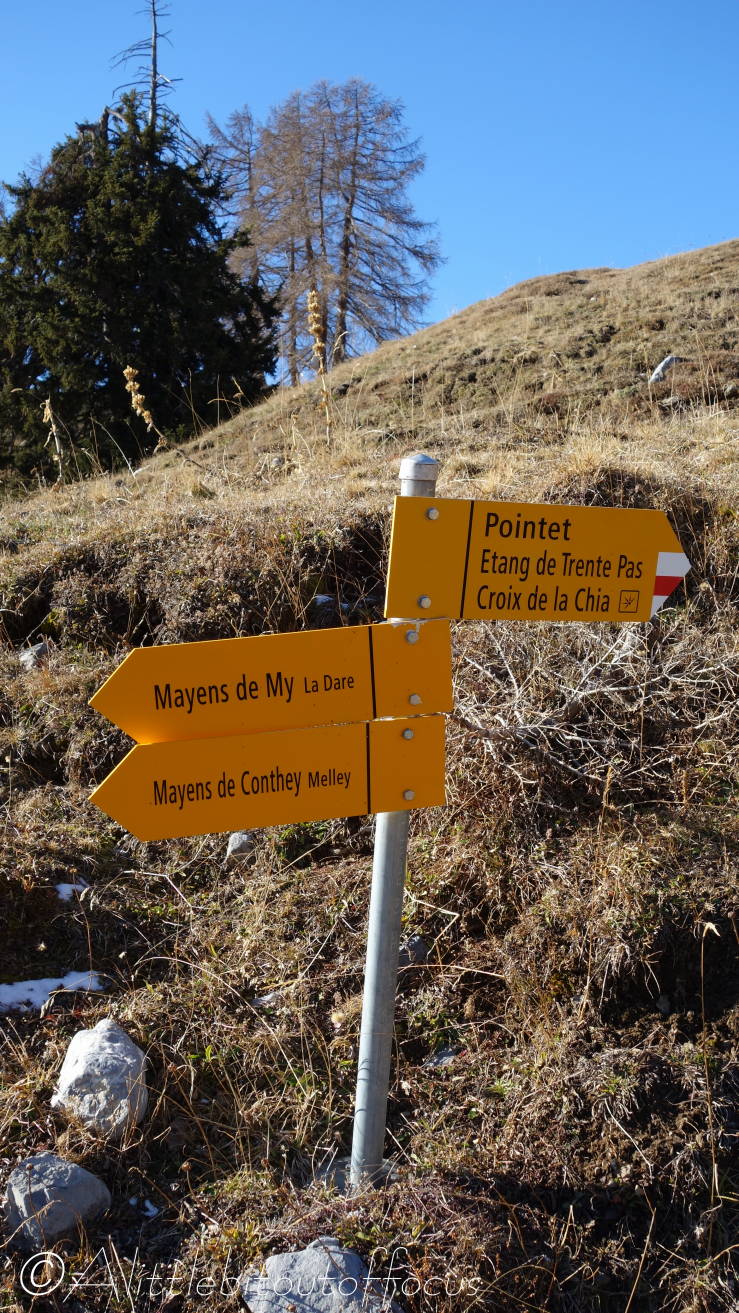
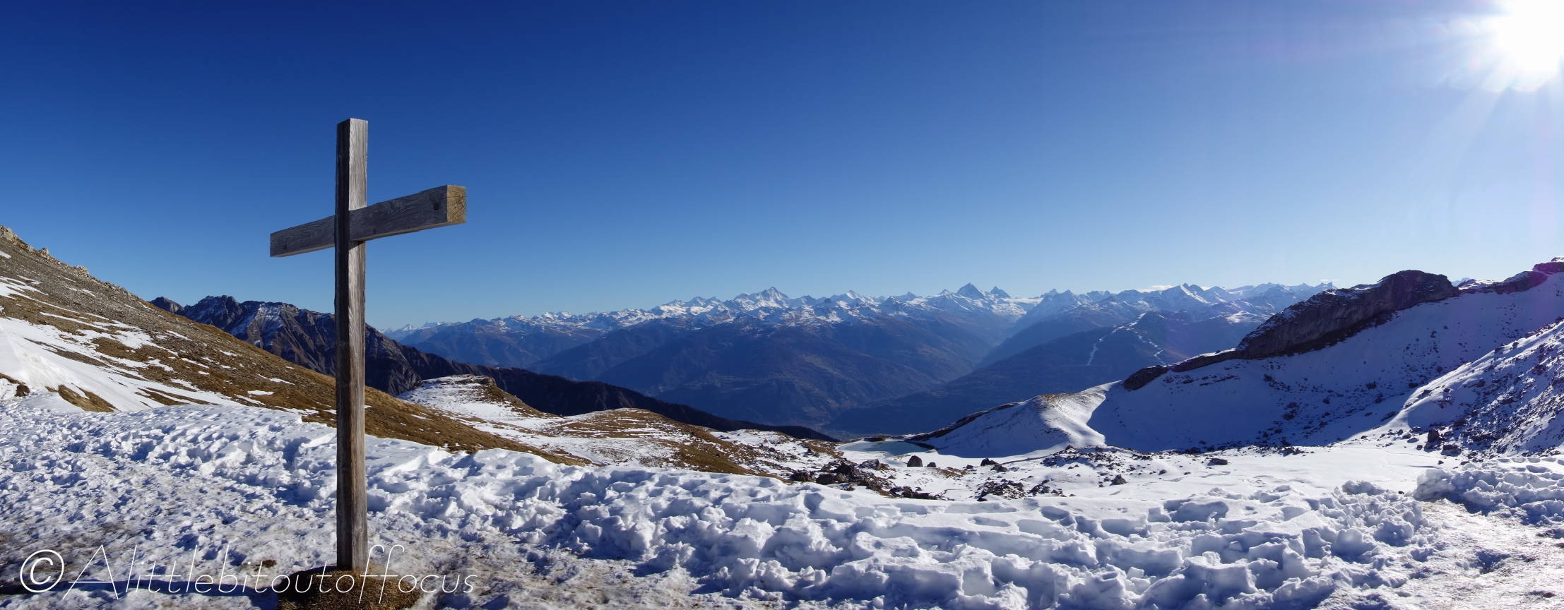
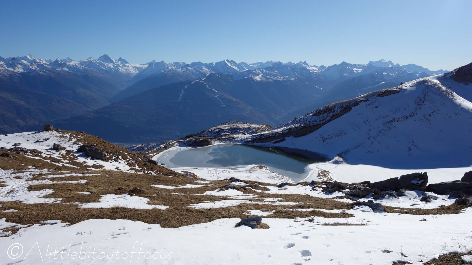
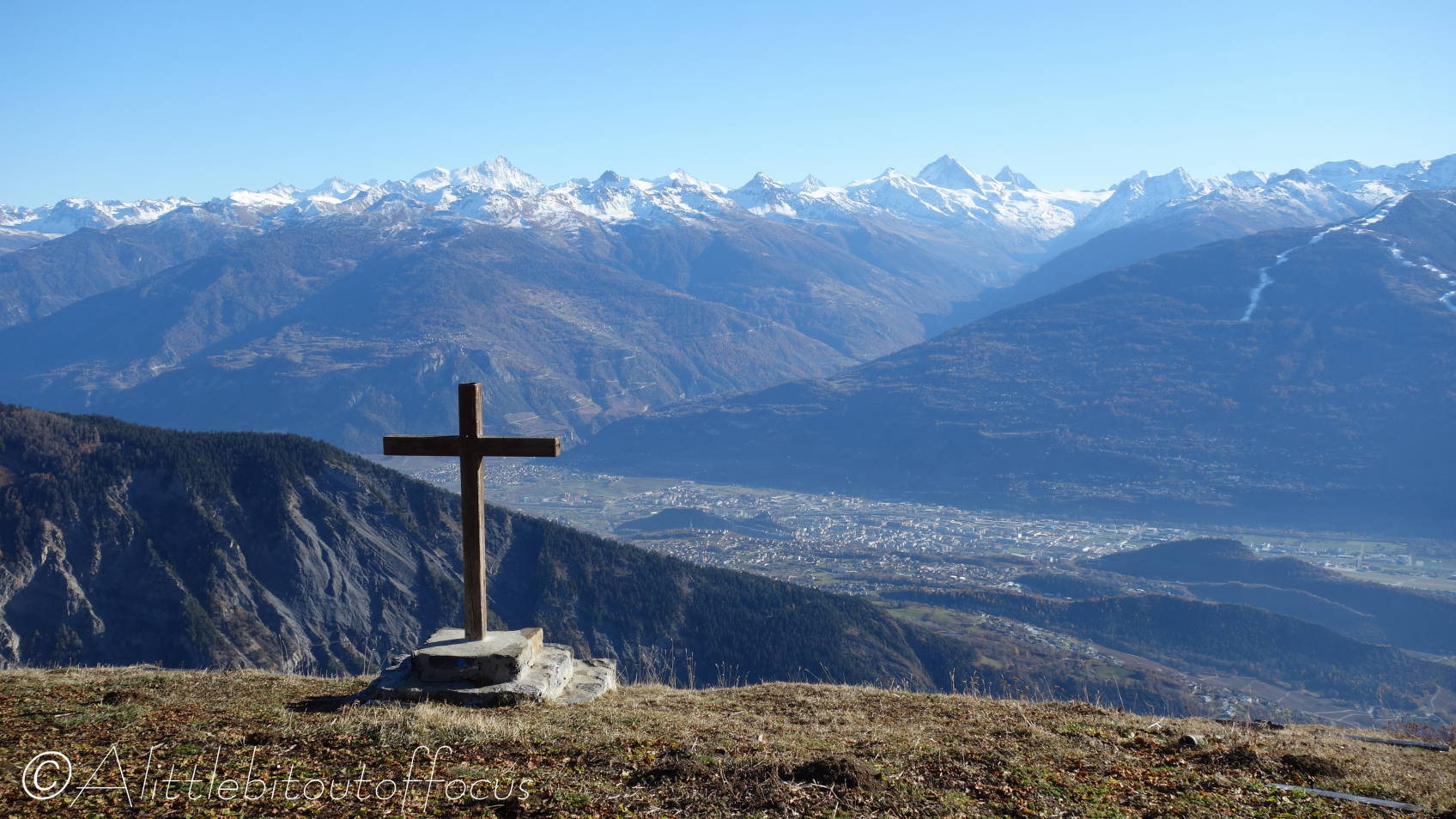
After being thwarted by the snow on my last walk, I discovered a route, again on the south facing side of the Rhone valley, which only went to 2,350m or 7,700ft. (This was about where the snow started last time). The objective was the Croix de la Chia, which sits at a col between two small peaks called Mont Gond and La Flava.
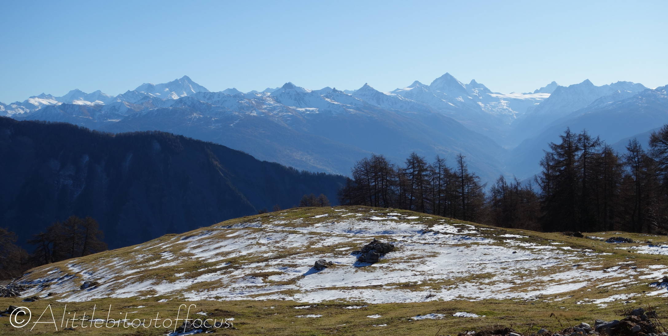
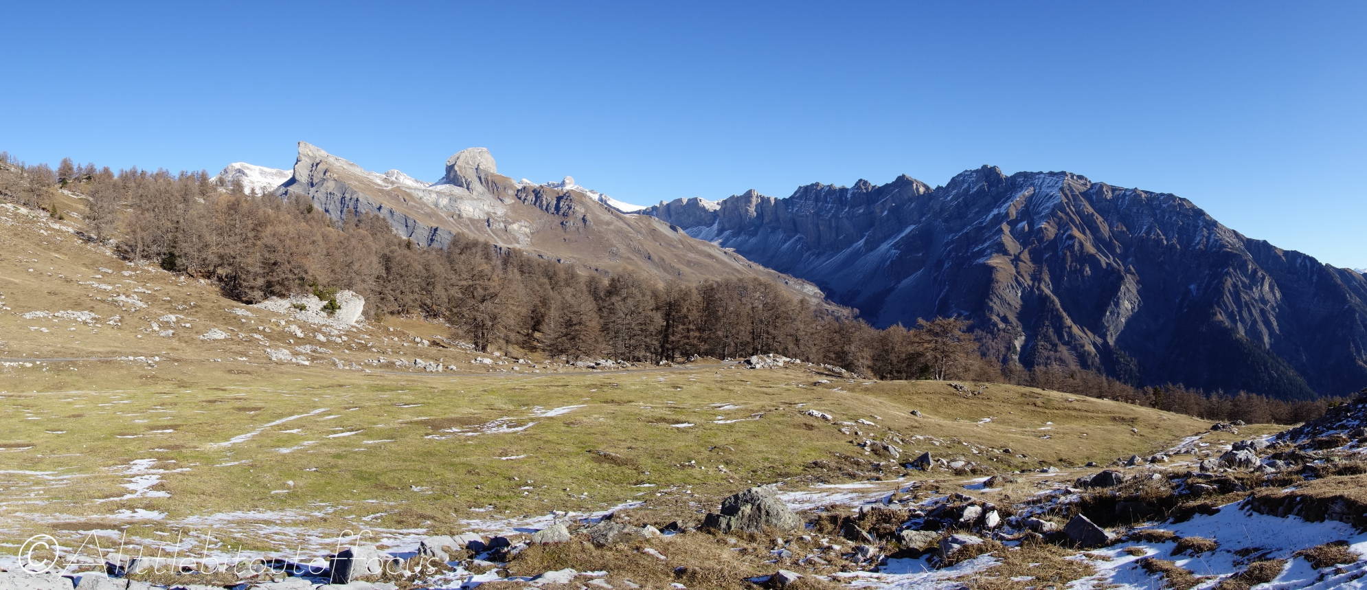
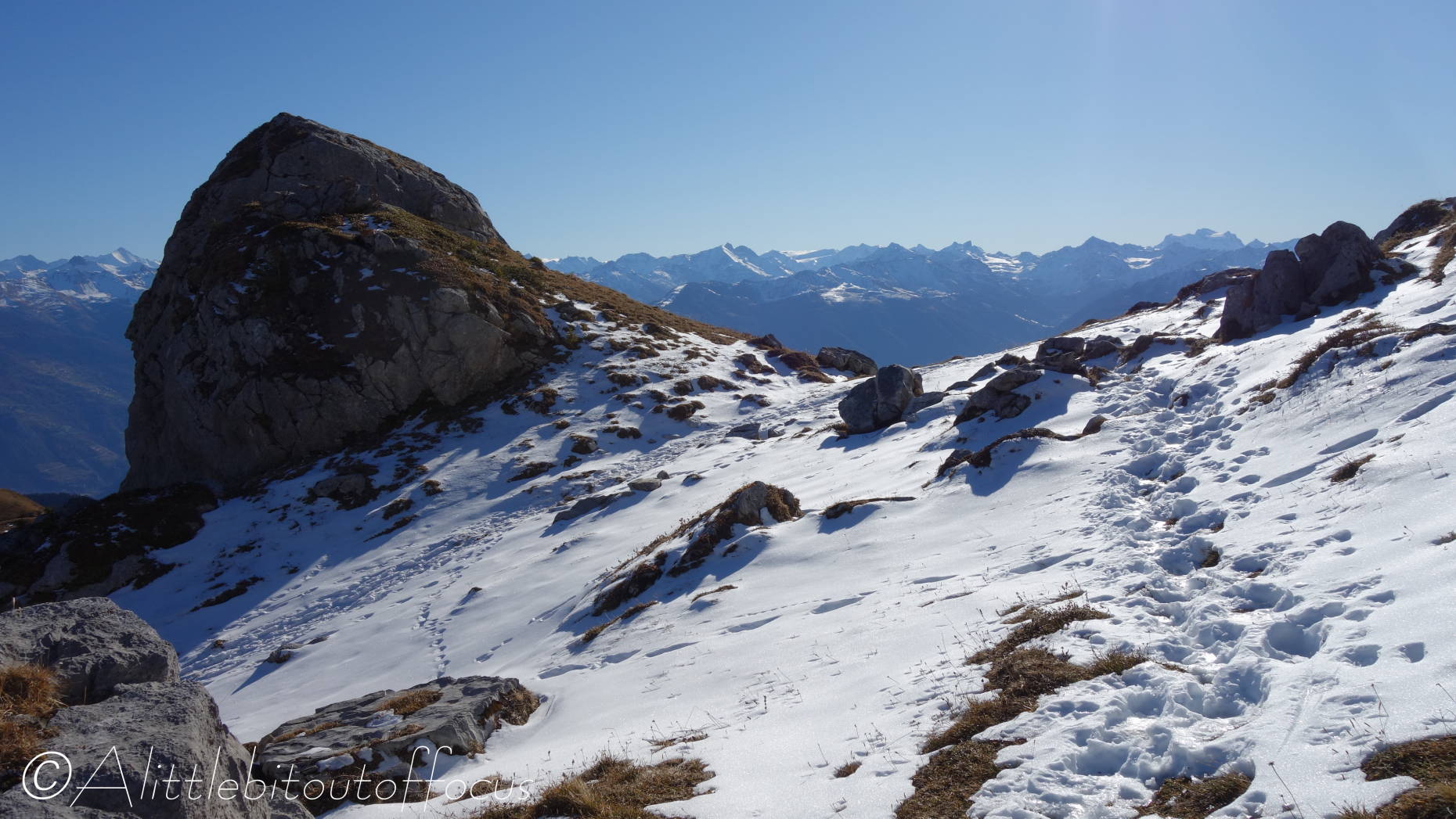
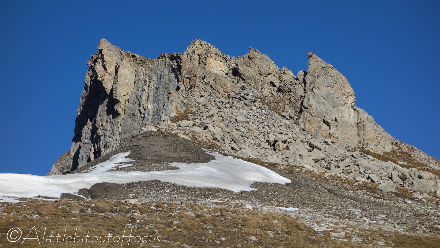
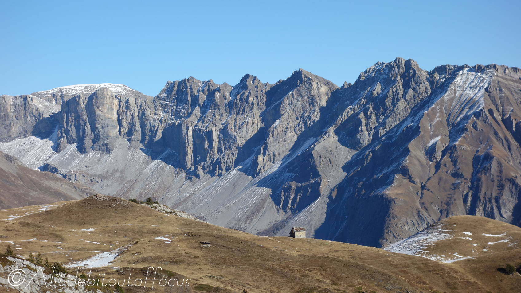
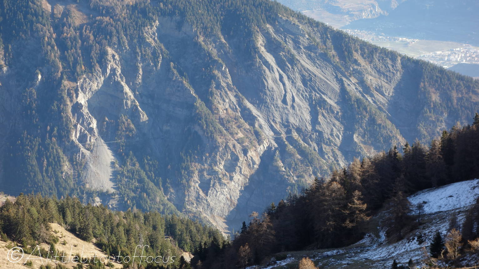
The map only showed a path to the col (with a route going down the other side), but I had secret hopes of trying to head towards, maybe even up to the top of, either Mont Gond or La Flava. Two dimensional maps can be deceiving of course and, if you look at pictures 26 and 27, you will see why I didn’t attempt either. There were two guys at the col when I arrived and they headed up towards La Flava, but I’m not sure if they even managed to climb over that first set of rocks.
I’ve also include a photo of the previously posted Bisse de Savièse, as seen from across the valley. (See pic 37). It highlights how much some of those bisses ‘cling’ to the rockface.
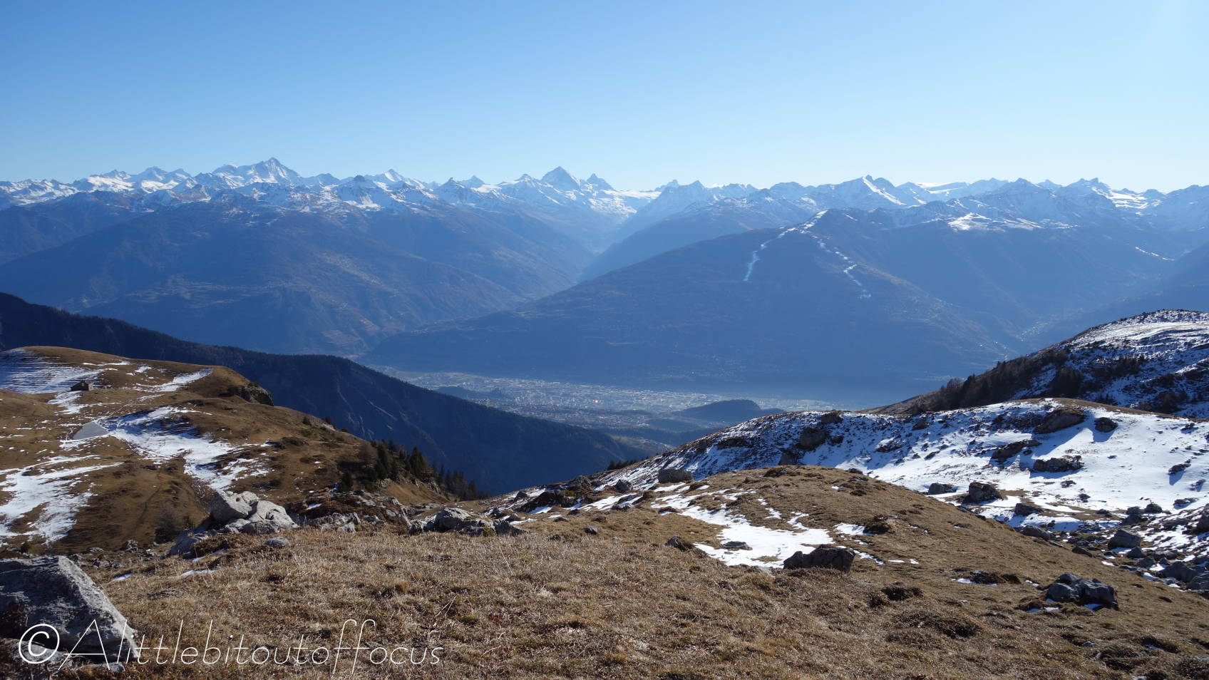
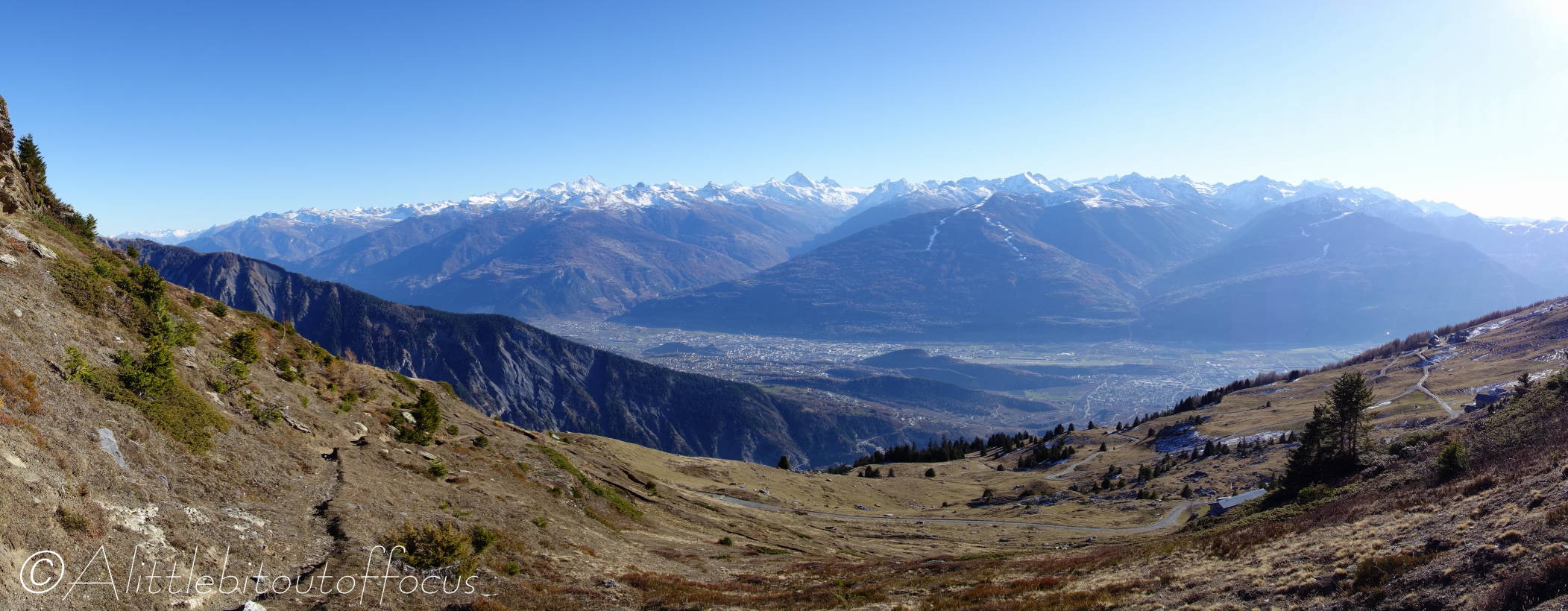
It’s not often I get the opportunity to take a photo of where I’m going to walk, but photo 1 shows where I was heading yesterday from ‘our’ side of the valley. The last photo was taken on the way back.
Finally, I was a very happy chappy throughout the walk, as the first thing that I saw as soon as I set off was the Clouded Yellow butterfly in pic 2, which was kind enough to land and have its photo taken. (Note that it could be a Pale or Berger’s Clouded Yellow, I didn’t get a good look at the upper side of the wings). Whatever, it was a joy to see so late in the year. 😊


Leave a comment