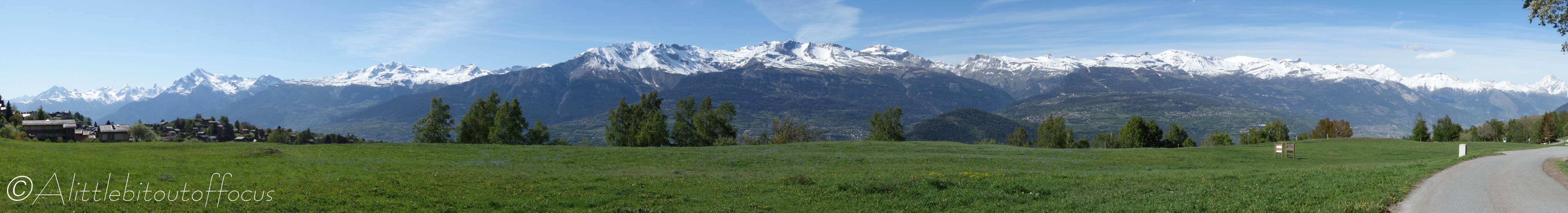
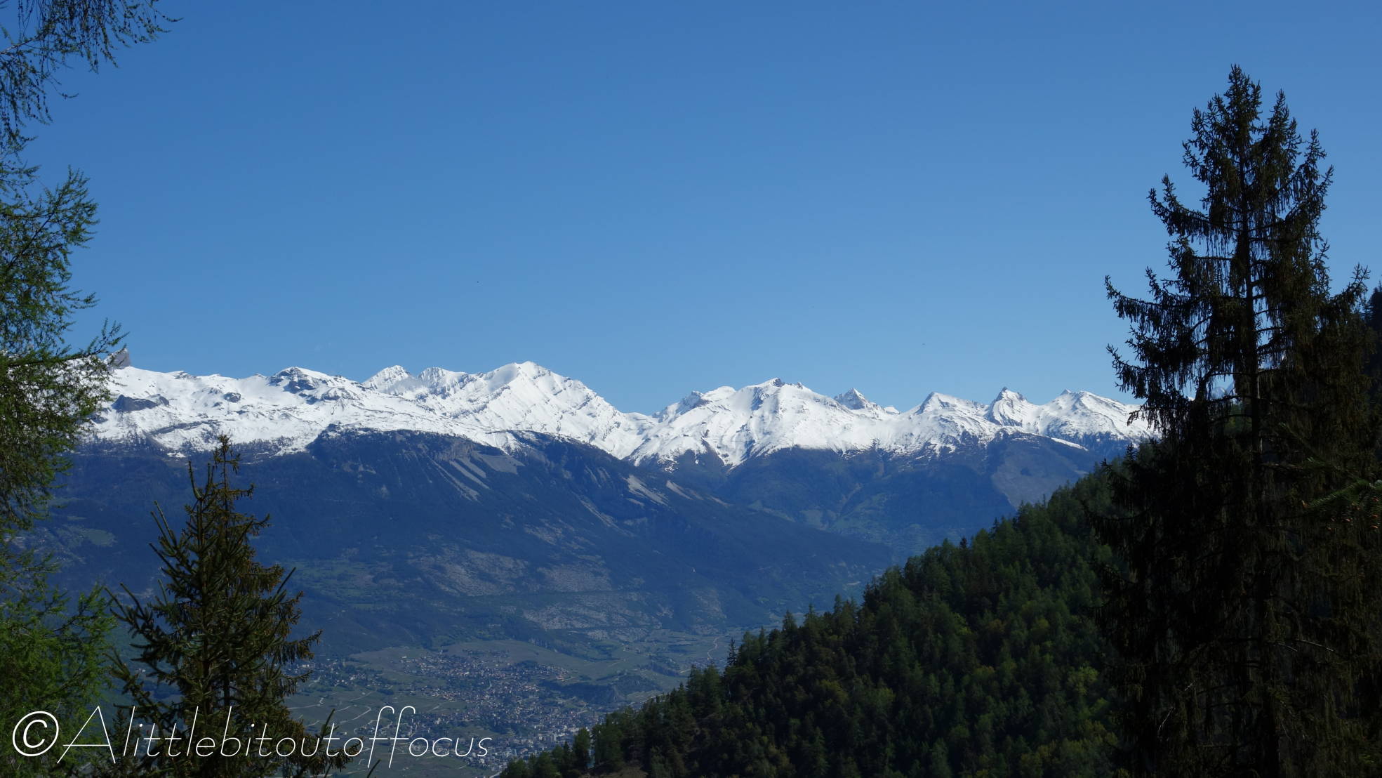
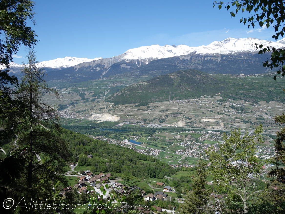
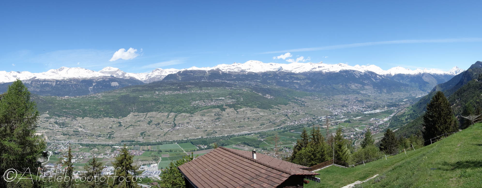
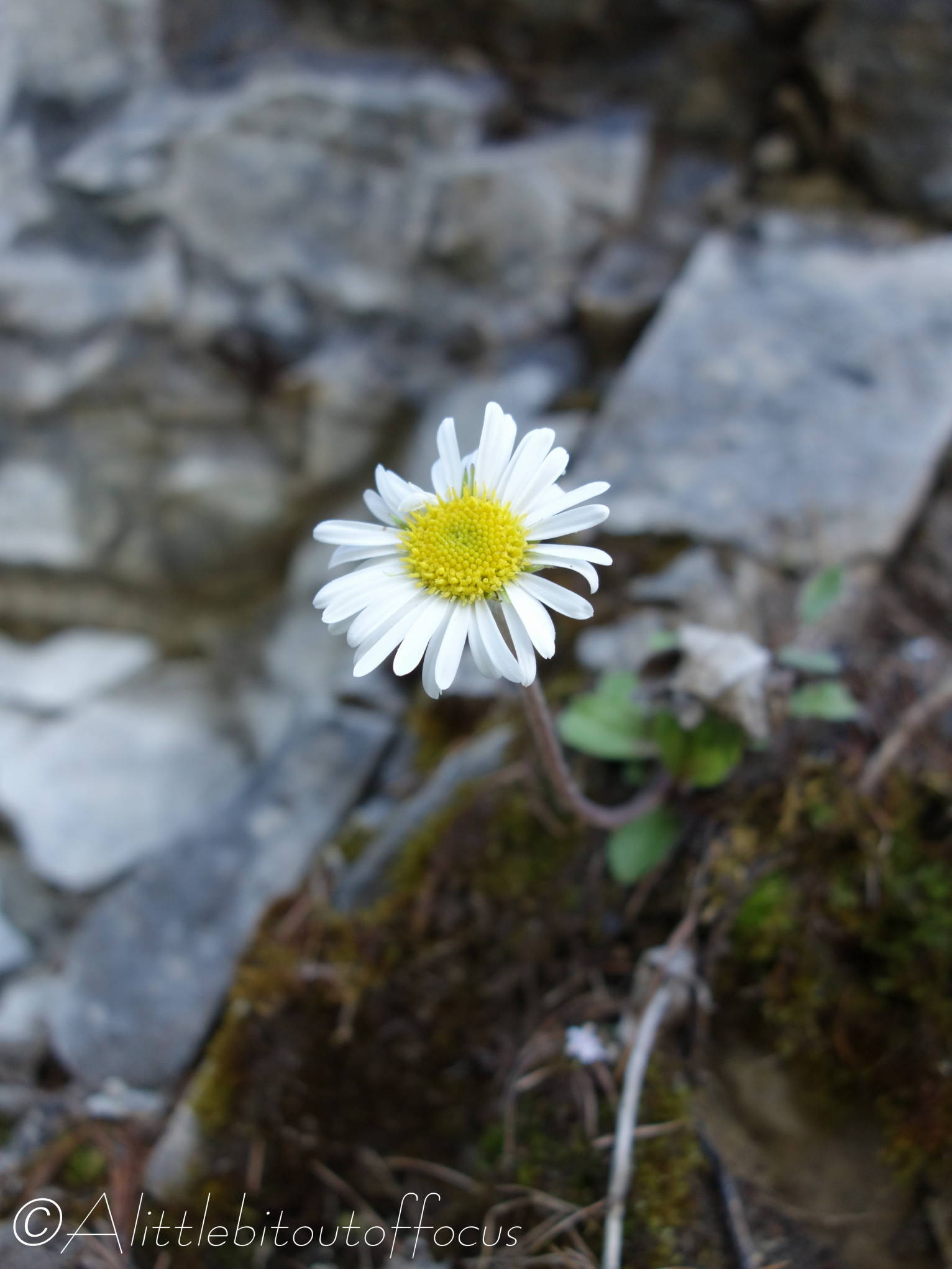
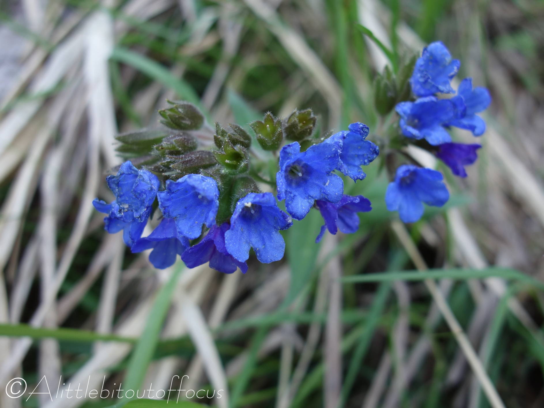
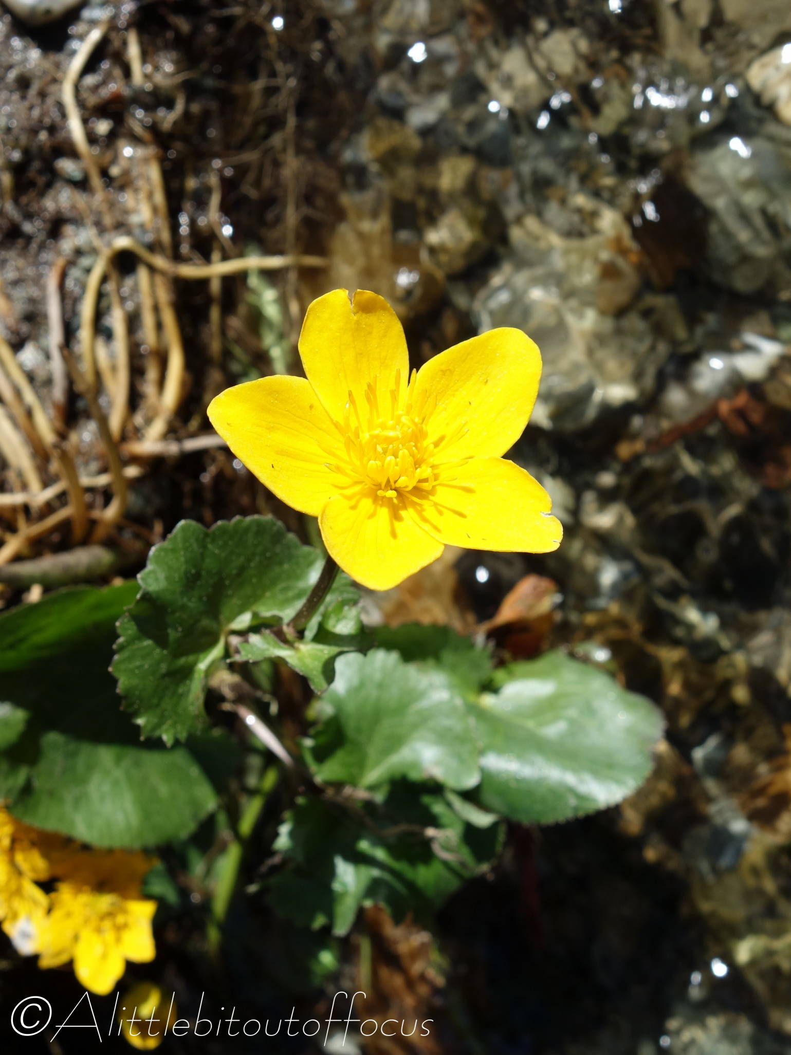
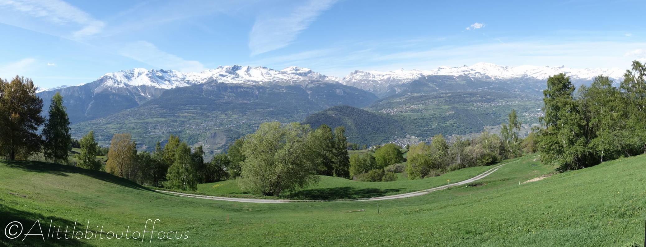
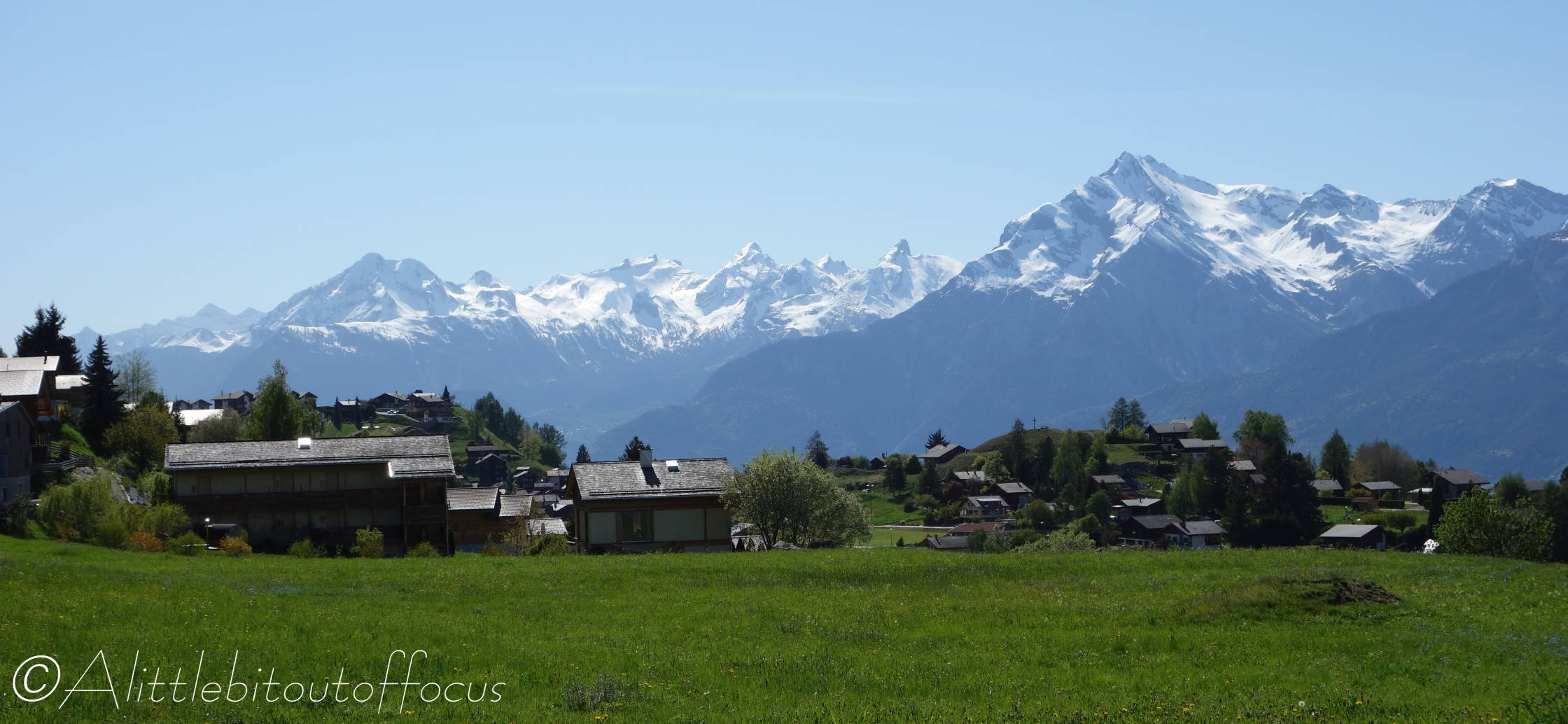
After several weeks of beautiful sunshine in the Val d’Hérens, the weather has taken a turn for the worse. We even had snow down to 1,800m over the weekend. So I wasn’t going to miss the opportunity to go out yesterday when blue skies were forecast.
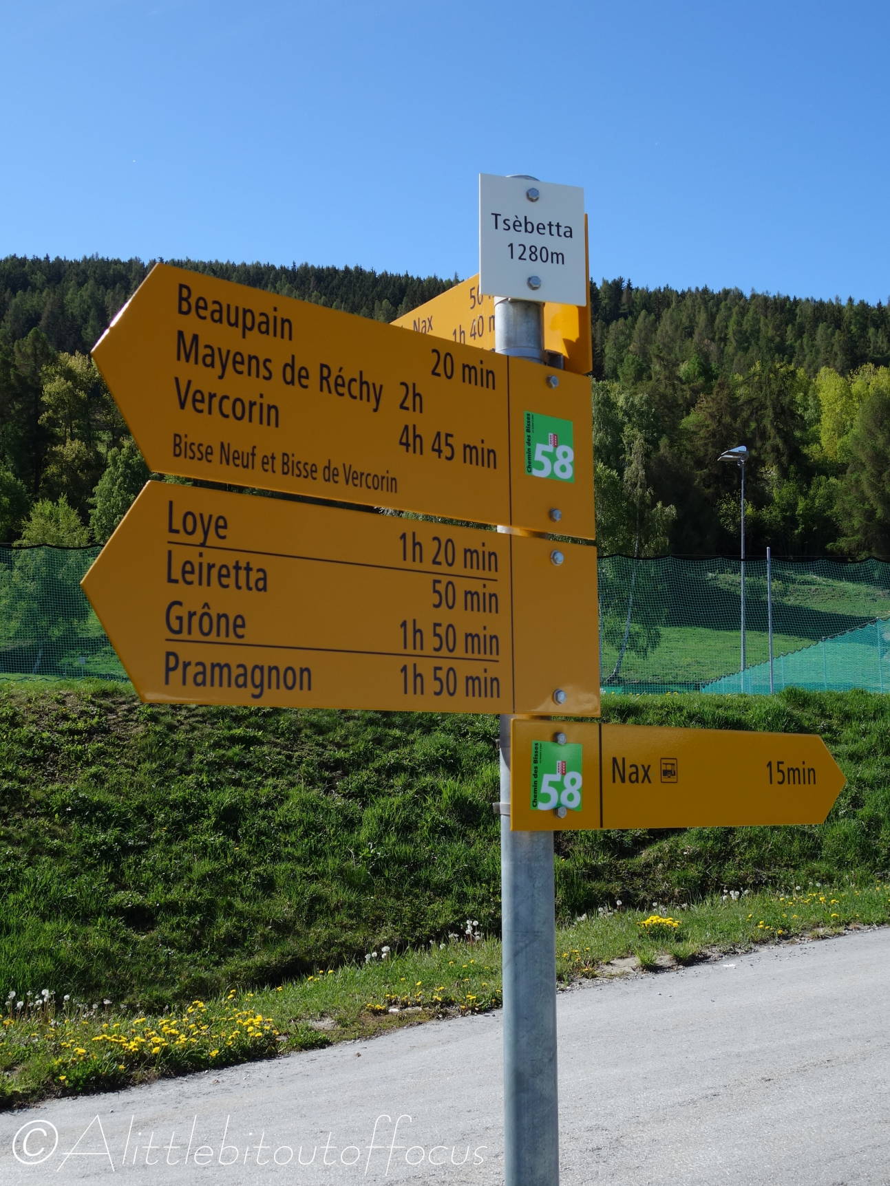
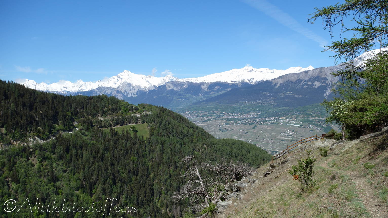
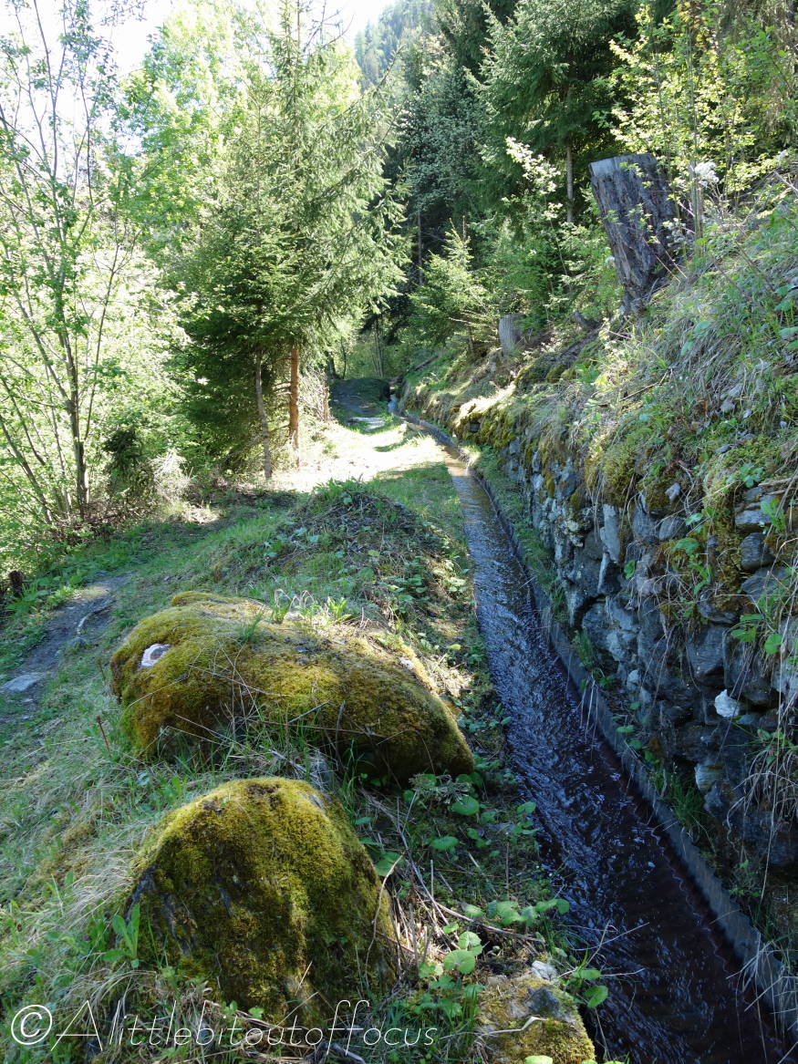
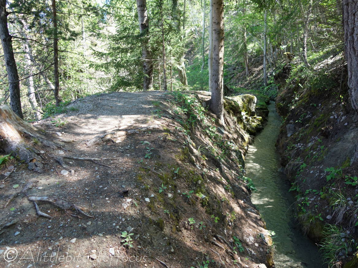
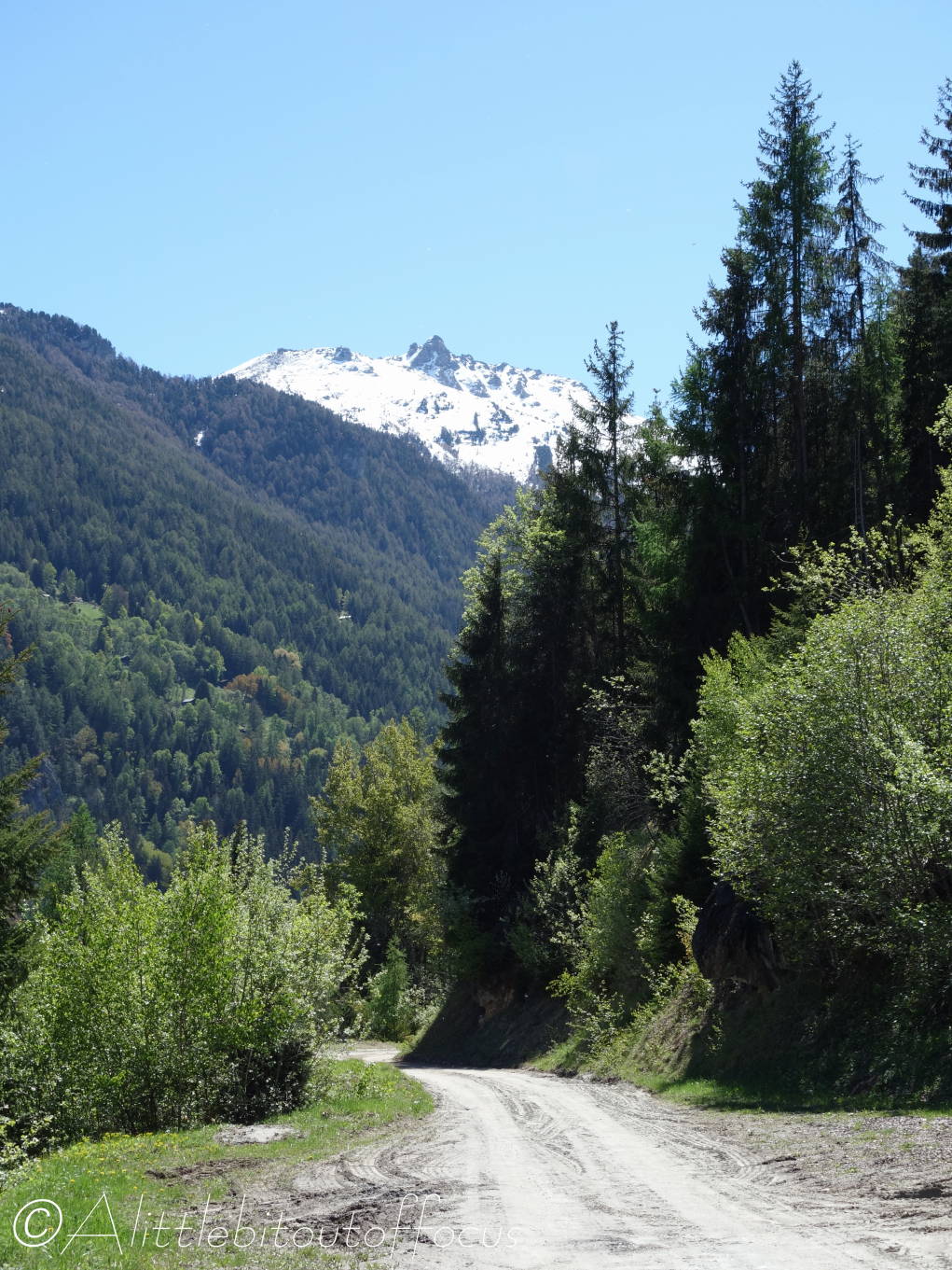
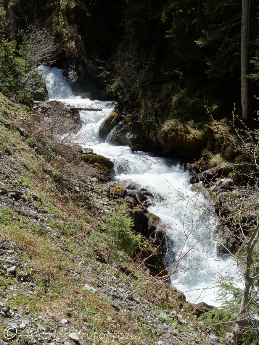
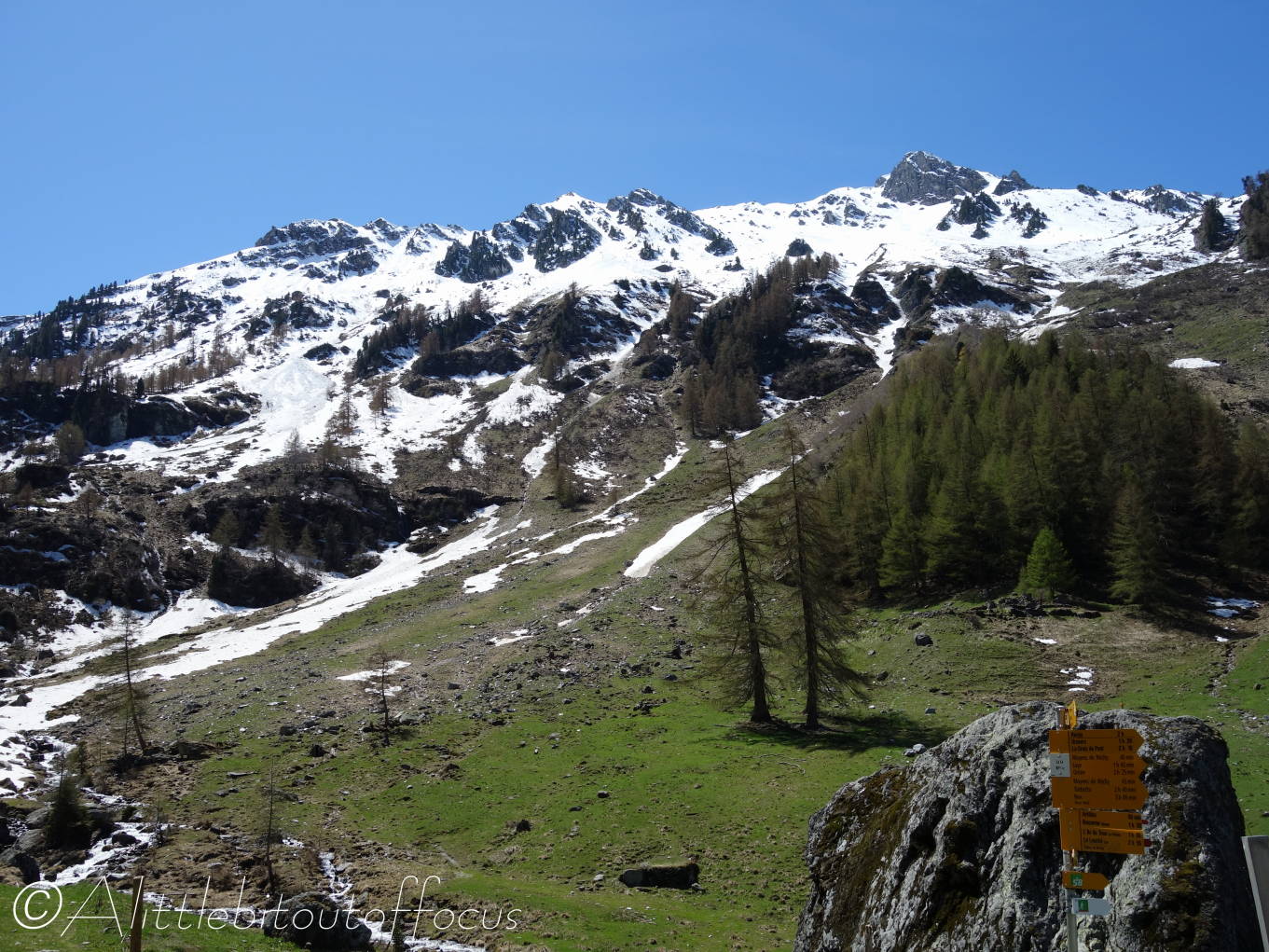
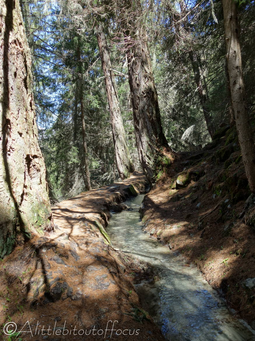
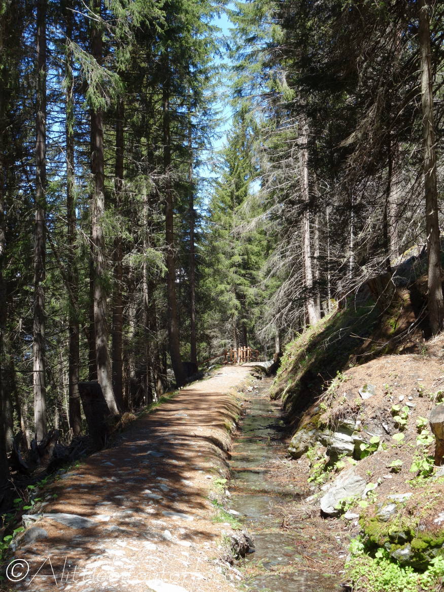
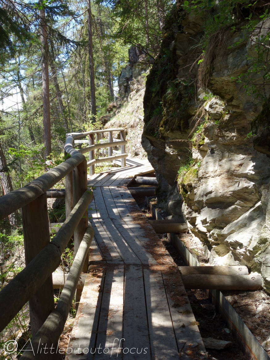
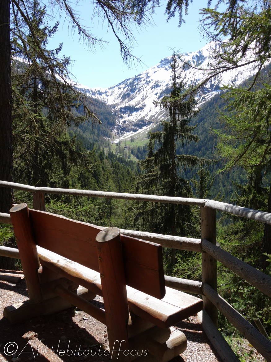
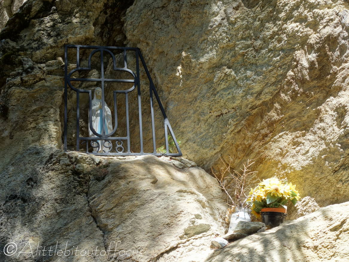
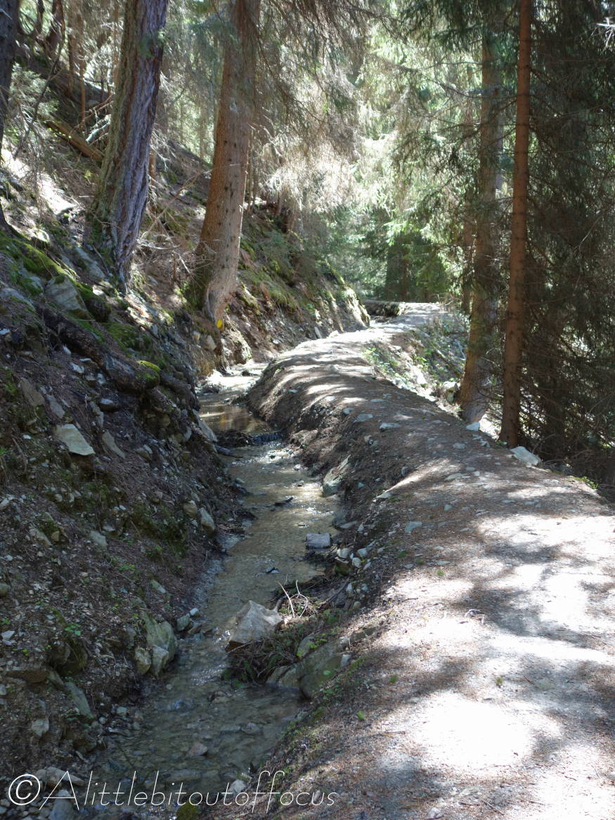
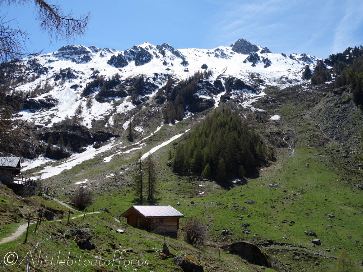
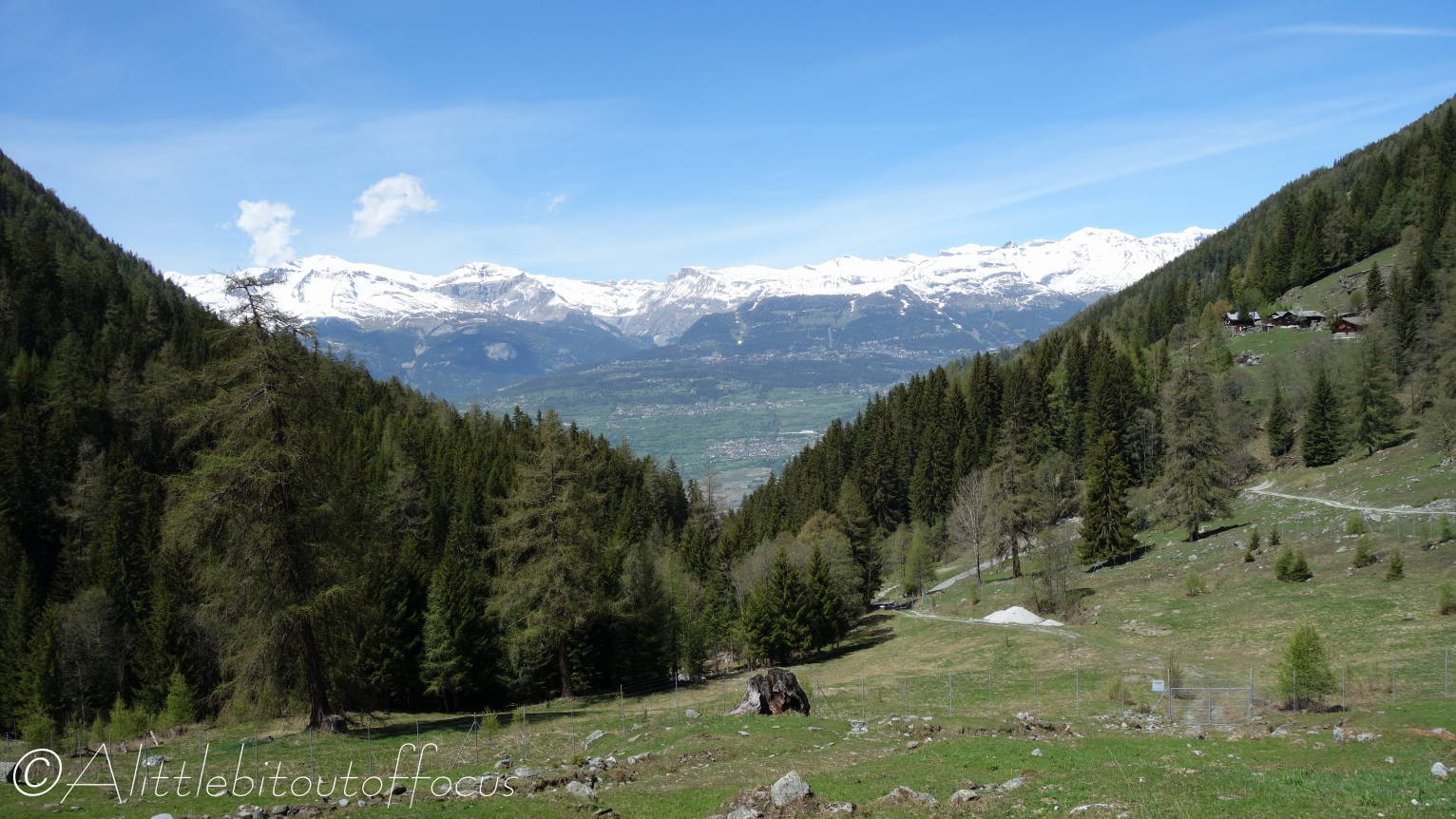
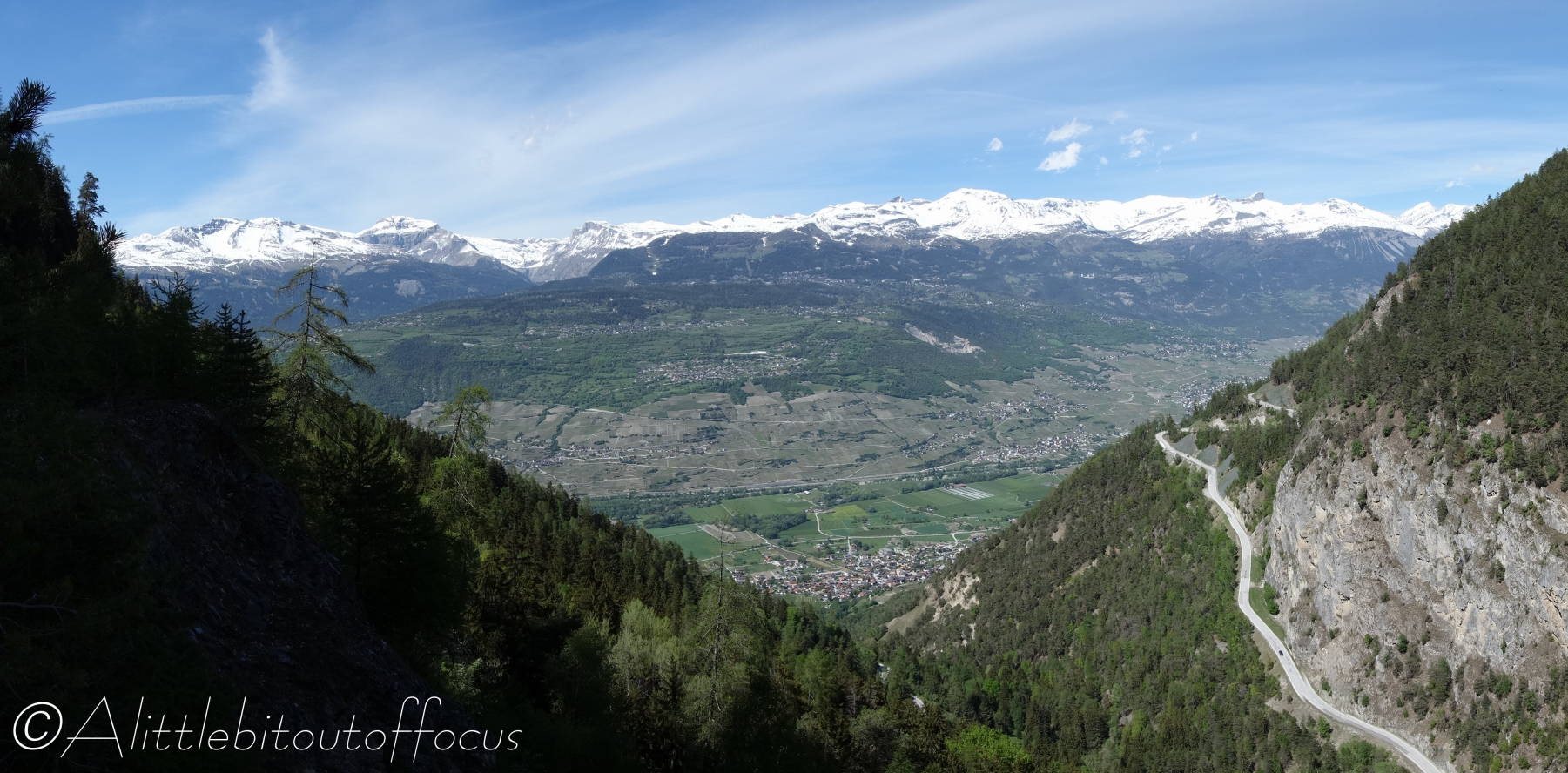
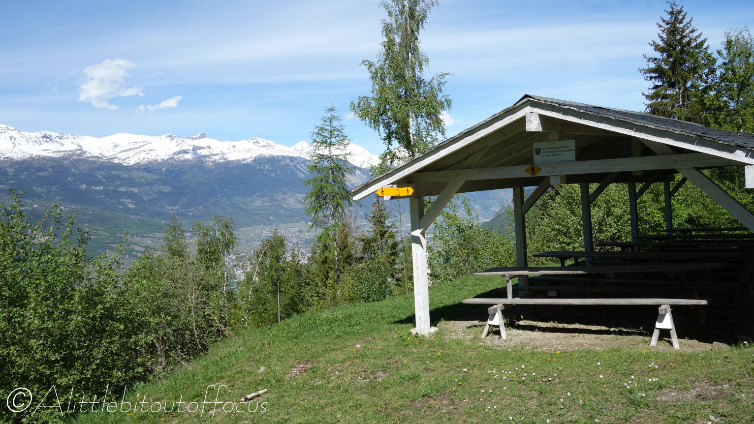
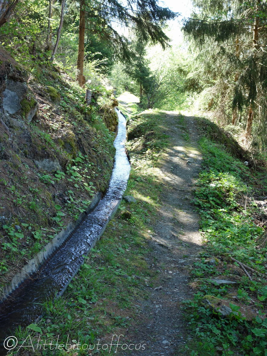
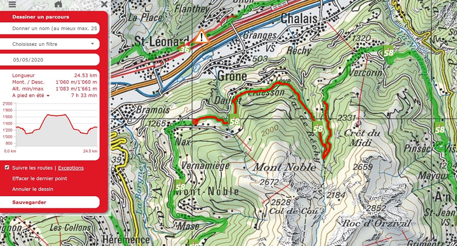
I wanted to do a long walk and, after studying the map (and ruling out anything high), I decided do a section of the “Chemin des Bisses” (Swiss Route no. 58) from Nax to ‘as far as I could get in the time available’ along the Bisse de Vercorin, before retracing my steps back to Nax. In the event, I turned around at the bench and shrine that you can see in pics 27 and 28, which are about 800m or half a mile short of the northern end of the bisse.
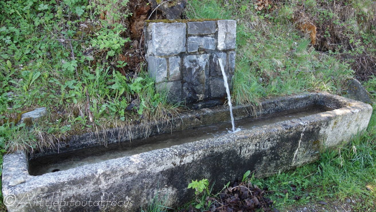
The full Route 58 is 100 km long and runs from Martigny to Grimentz and it seems I have walked a section of this route before, about 2 years ago, from Haute Nendaz to Euseigne. See here for photos of that walk, where there is also an explanation of what a bisse is for any new readers.
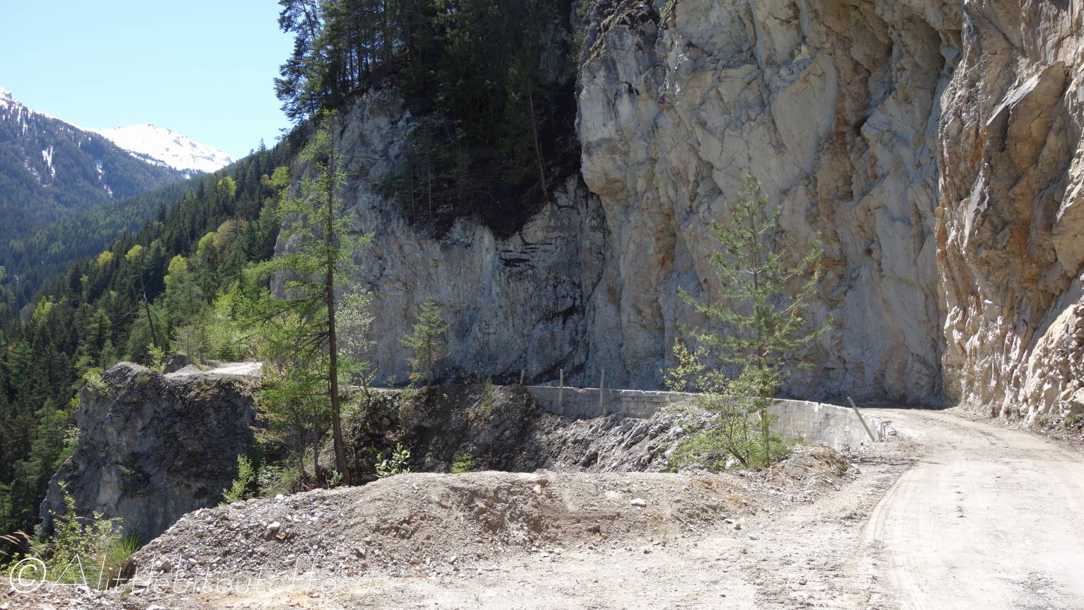
However, my plan was nearly scuppered when, on Sunday evening, they closed the only road out of our village, due to a huge (200m3 or 500 tonne) piece of rock, which was threatening to fall after sensors showed that it had moved 70-80 cm during the day. On Monday morning the all clear was given, so I duly set off and returned home around 5pm – only for the rock to fall yesterday evening around 9:30pm. I guess 4.5 hours is not close, but I’m glad I wasn’t under it. See here for a picture of the rock on the road. Thankfully nobody came to any harm and they are hoping to open the road later today, if only for one way traffic using traffic lights. So we and the rest of the commune of Evolène are definitely in isolation at the moment!

Leave a comment