Most of the routes that I use are derived from the SwitzerlandMobility website, which is a fantastic resource (should you ever wish to explore this fine country). Not only does it show every single walking path or track, but it also includes cycling, mountain biking, roller blading and, would you believe, canoeing routes. It’s very easy to use – just zoom in to the region you’re interested in then select the appropriate type of exercise on the left and specify whether you’d like to view the National, Regional and/or Local routes. You can also draw and download your own routes, (as I do frequently), but this requires an annual subscription of around 35 Swiss francs (35 US dollars/£30). Well worth every cent, I’d say!
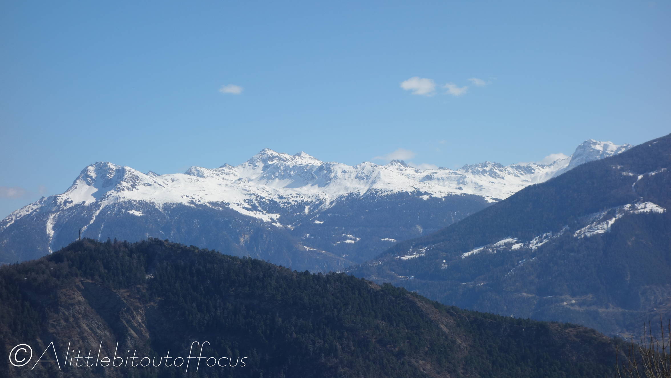
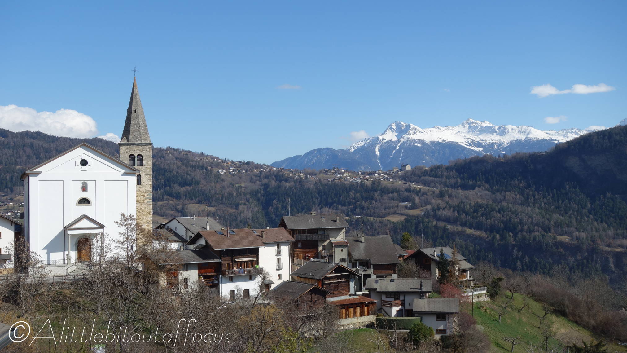
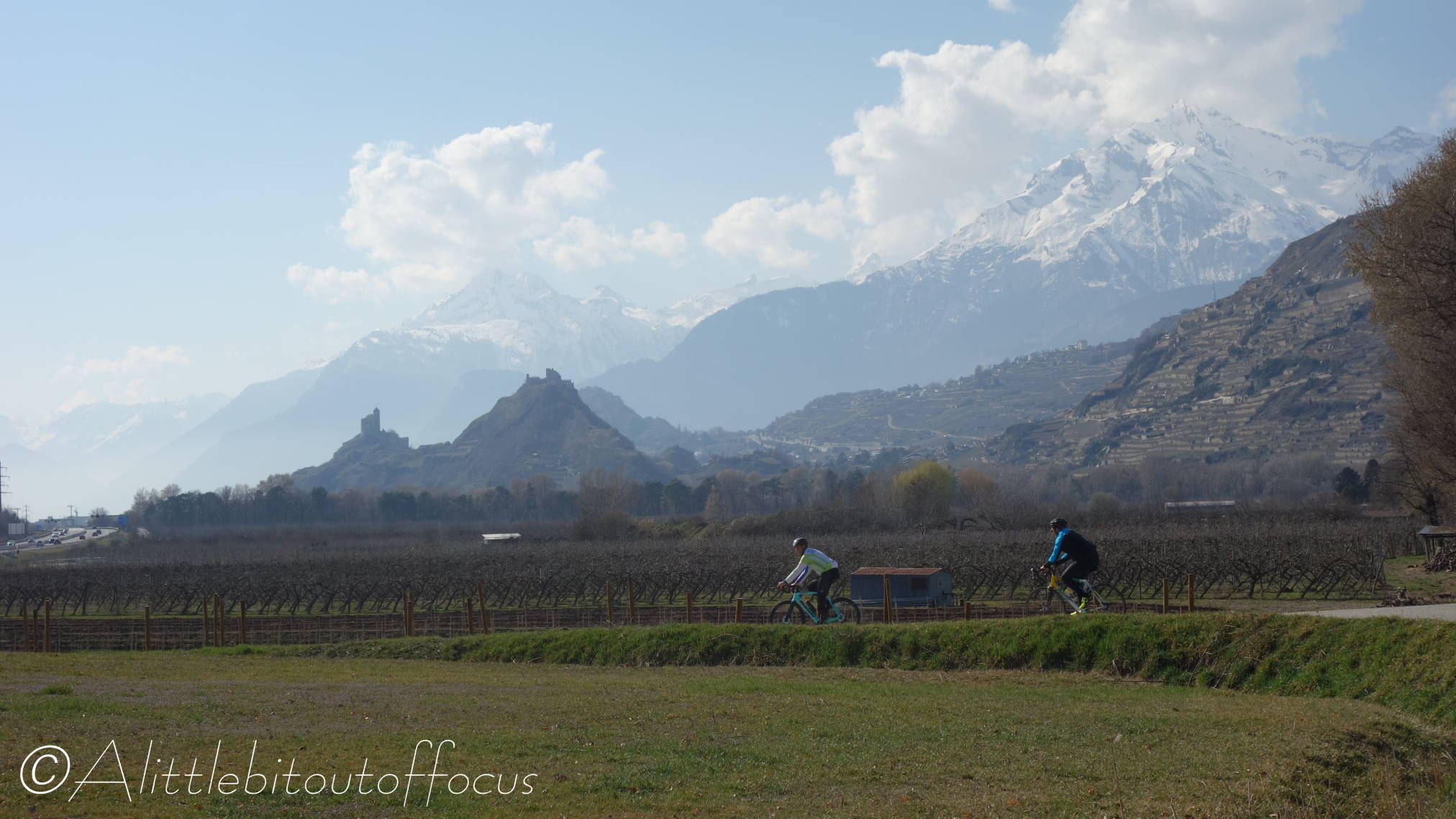
So, while searching for another new route to walk, I had a quick look at the cycling options and discovered this circular, regional route (no. 140) around the villages above Sion. At 42 km (or 26 miles), it didn’t seem to be too far, for a part-time cyclist like me, though it did have 950m of ascent. The altitude profile suggested that it would be done in 2 separate climbs, with a level-ish section in between, so I thought it might not be too difficult. It was only during the drive down to Sion with my bike in the back of the car that I realised it was the equivalent of cycling back up to Evolène from Sion. (My family and friends, who have visited us, will appreciate how big a climb that is!)
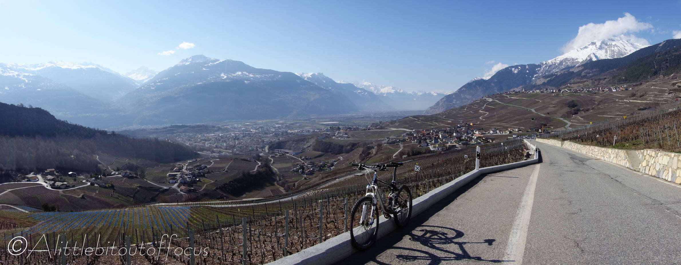
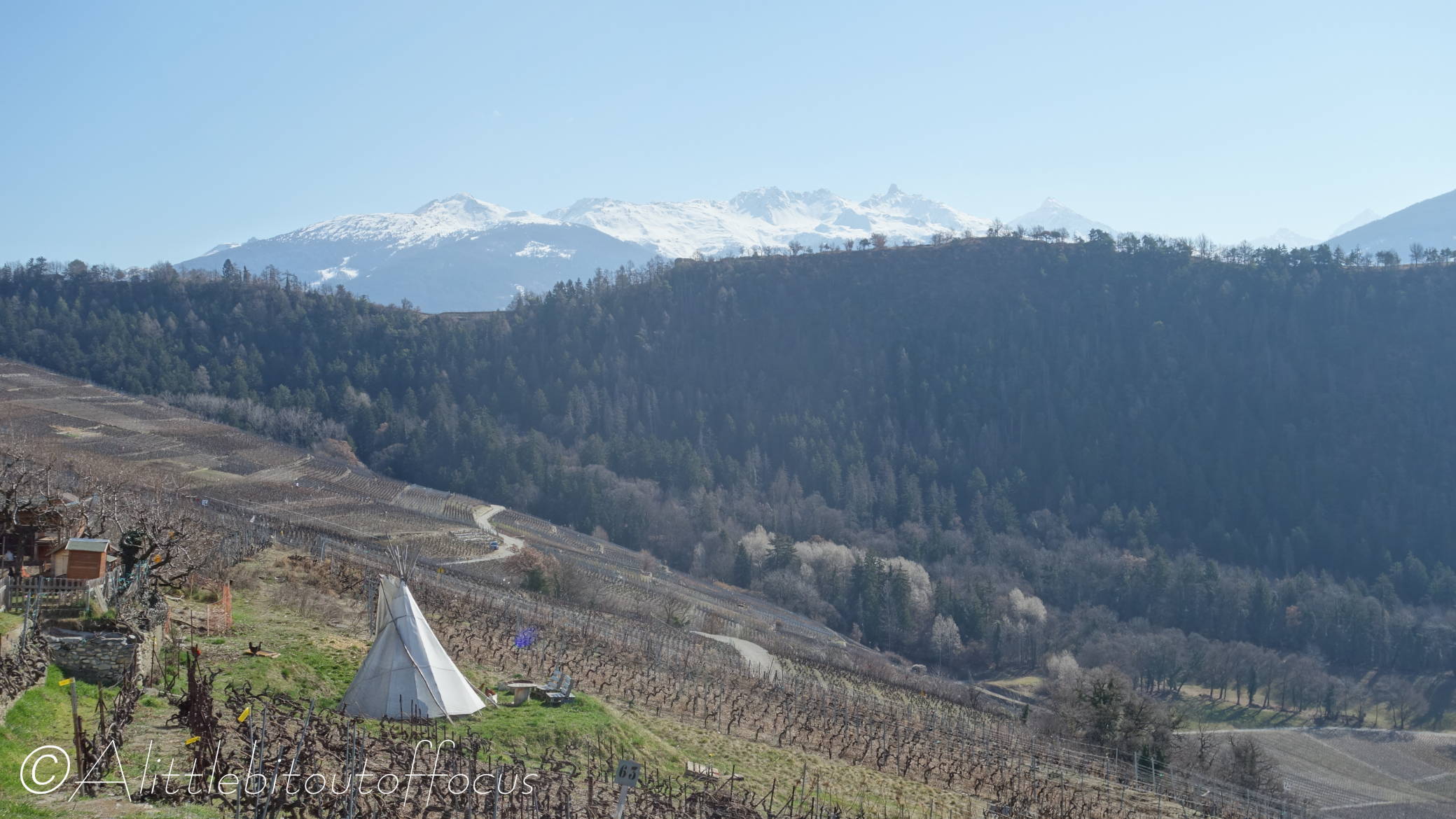
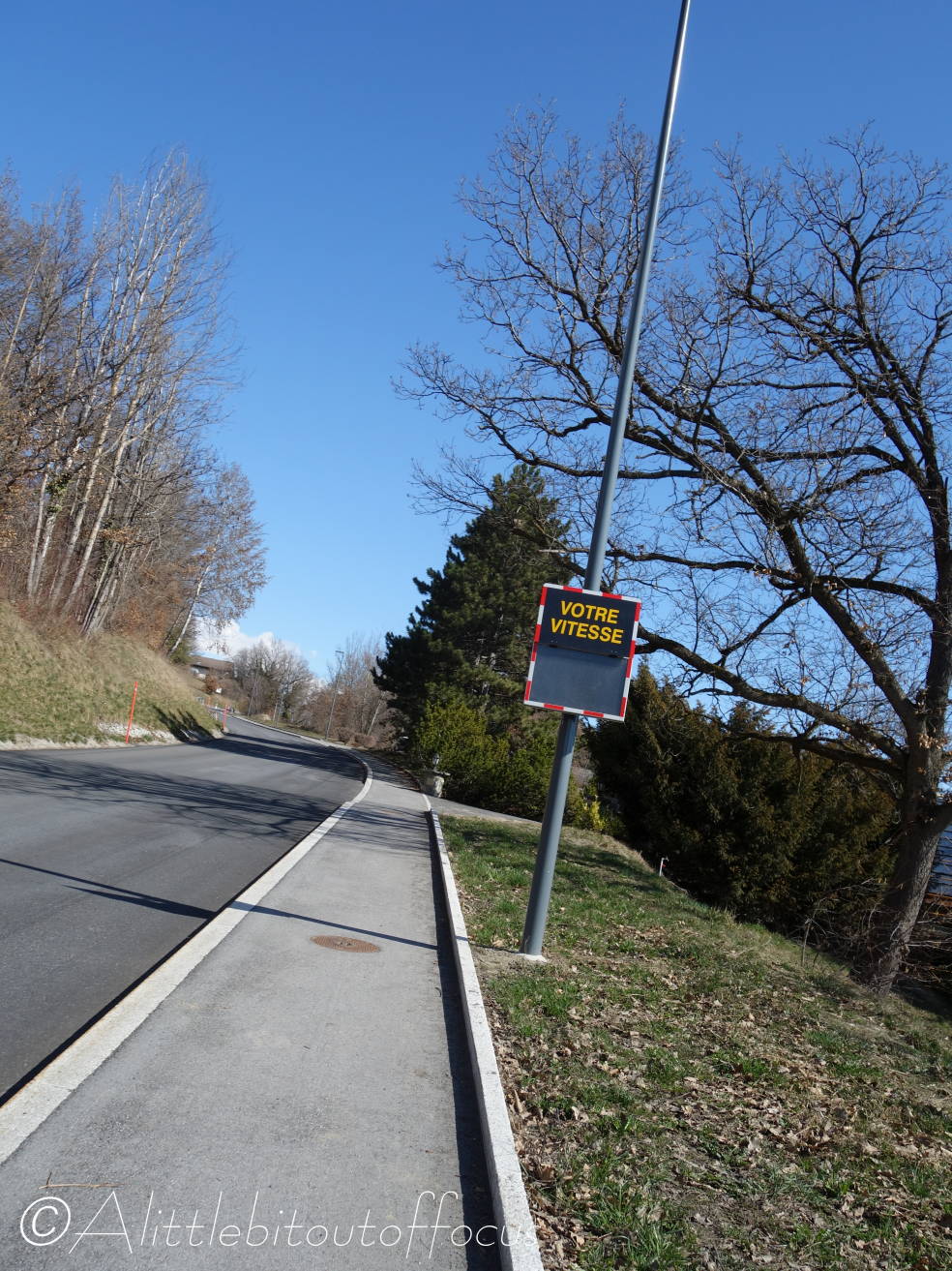
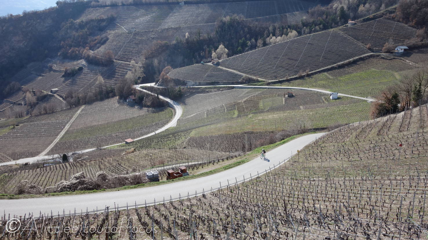
Anyway, all went well as you will see from the images below. Though, try as I might, I couldn’t get the Speed Checker by the side of the road to register anything, such was the incline (see pic 18). The first climb had an average incline of 8.5% over 4.5 km and, purely in the interests of producing this post of course, I did stop frequently to take a few photos. 😊
Lastly, I should also praise the Garmin Edge, which you can see in Pic 9. I’d only used it in the past to track where I’d been and this was the first time I’d downloaded a route to follow. For something so tiny it did an amazing job, giving an alarm around 150 metres before and then at any significant change in direction and also an alarm when I went slightly off the route, plus confirming when I was back on track. 👍👍


Leave a comment