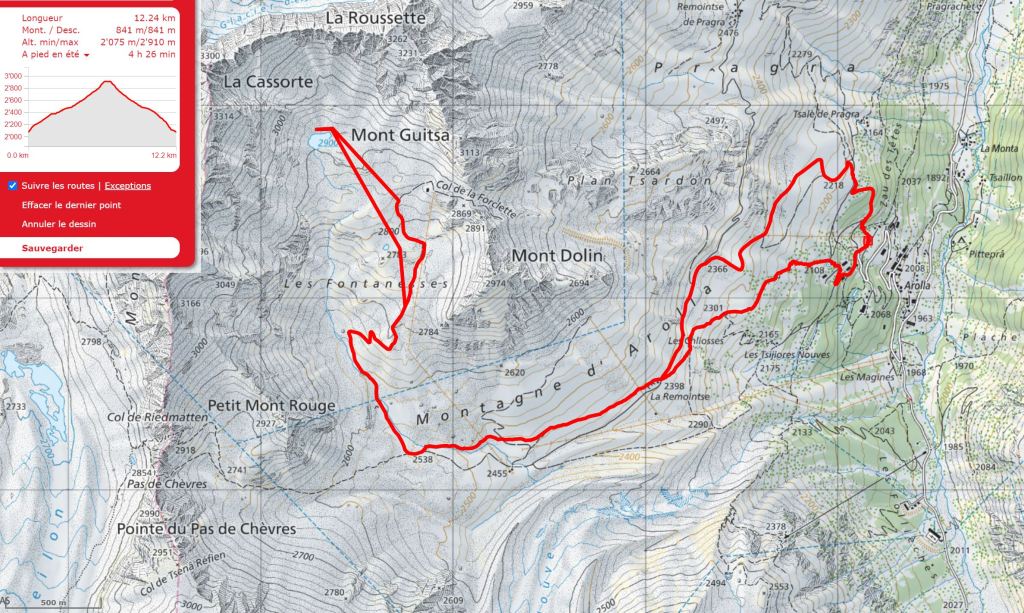
Outline Map:
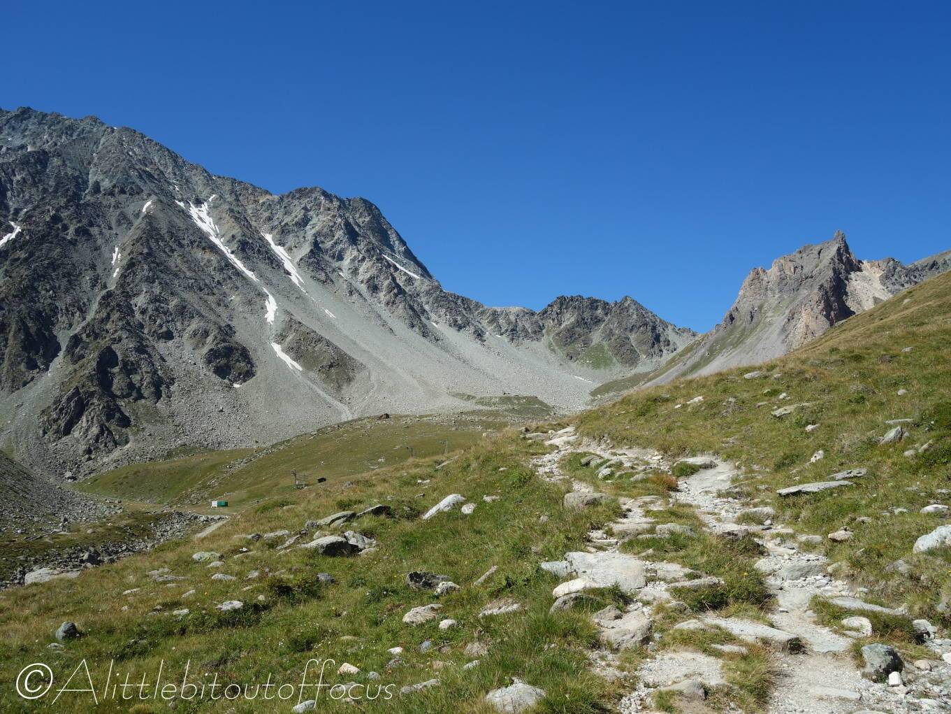
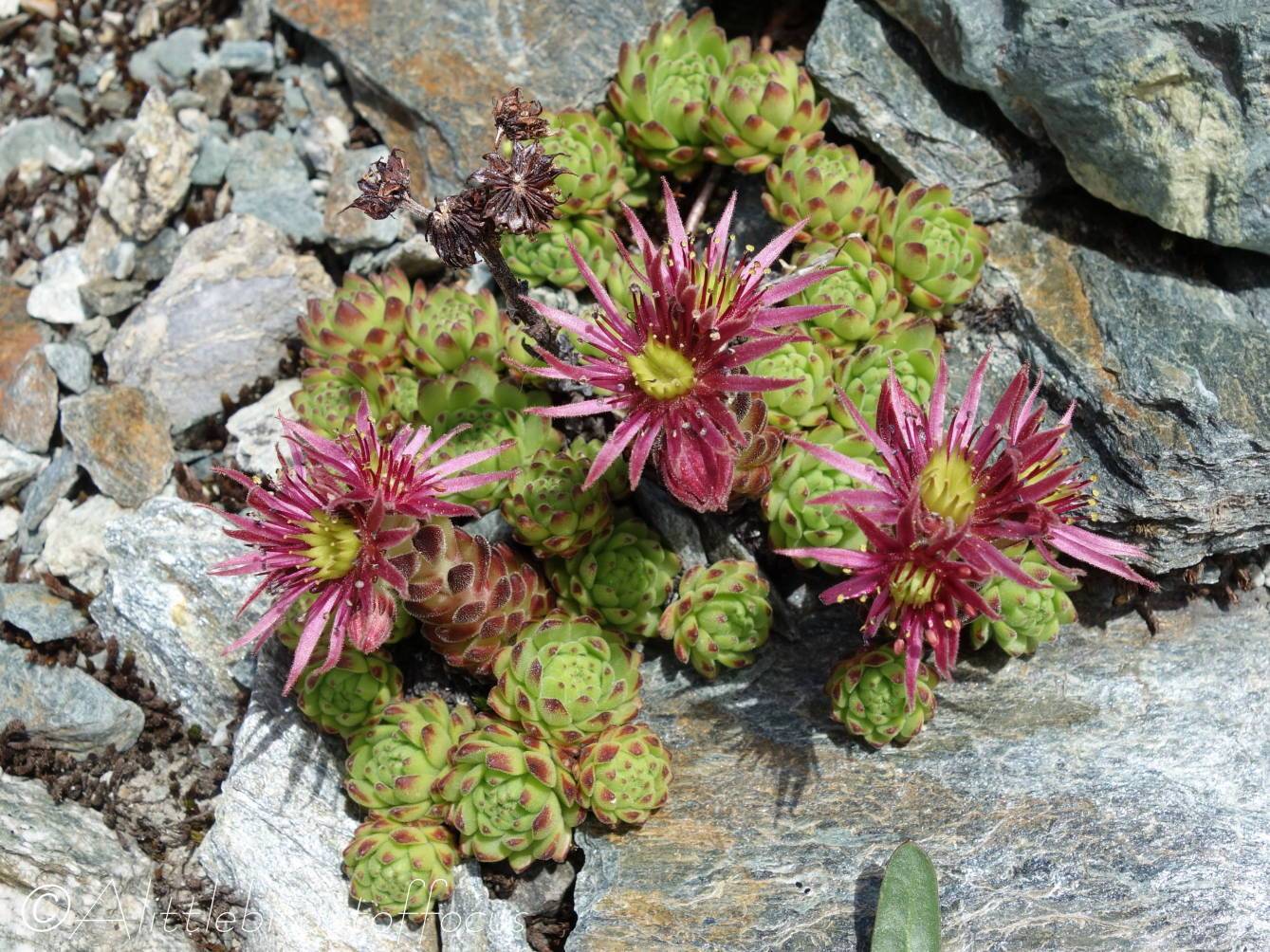
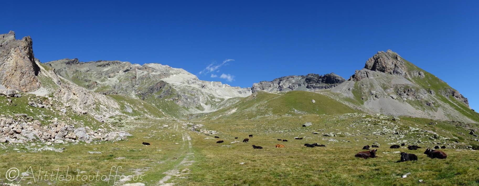
Gallery:


Route Description:
Walk 22: Lake with No Name from Arolla (Distance: 12.25 km and 840m ascent)
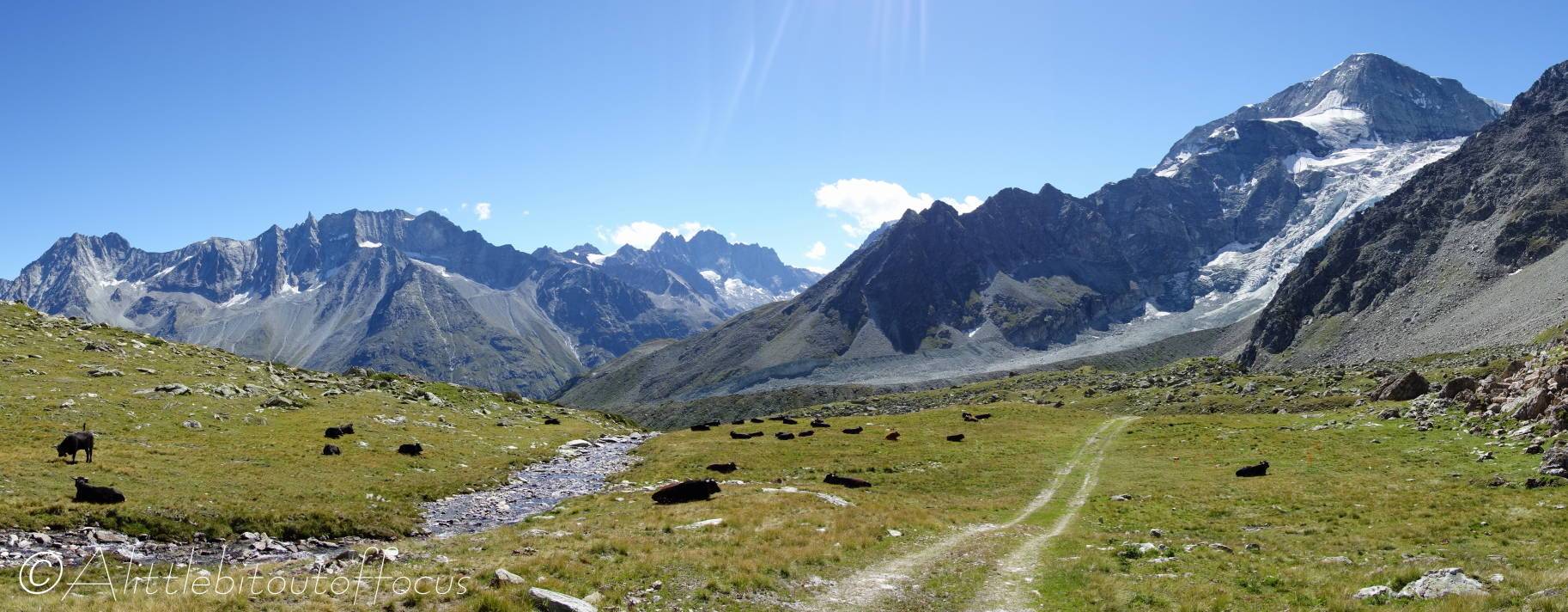
You only have to look at the photographs above to realise that this is a ‘must do’ walk. Although there are many paths which climb out of Arolla, the ascent described below takes you, after only a short steep section, to a track which rises relatively gently up to the alpage. From there the slope increases up to the lake, but the views all around are well worth the effort.
The start point for the walk is the small car park just above the Arolla village*, though it can be done from the village square if catching the bus – simply walk up the road to the parking area.
(*Continue up the road from the village bus stop terminus and, after a left and right U turn, there’s a track which goes down to the right (about 80 metres after passing the entrance to the Kurhaus Hotel).
- At the far end of the parking area, on the other side of the ski lift, there’s a path which goes up to the left. After only a short climb you will see a signpost, ignore the right turn (to La Gouille) and continue upwards. The path splits into 2 but either way takes you up to a wide track. Turn right here and then, as the track does a U turn to the left, continue straight ahead along the path to the right hand side, which ascends through the woods.
- As you exit the woods, the path splits but, again, either route is OK and you reach another wide track. Follow this track as it meanders left and right and left, all the way up to a signpost and collapsed farm building (at La Remointse).
Here, you can continue along the track* which also goes up the valley and under 3 ski lifts, but it’s better to take the path to the right of the building, which very soon goes under the first of the ski lifts. About 1.2 km further, you will reach a small bridge over a stream. - Bridge
Cross the bridge and turn right along a track. (This is the track* mentioned above). After only a few metres, a path goes off to the left (up to the Pas de Chevres). Ignore this path and continue along the track which bends up to the right. This track more or less follows the line of the ski slope – initially to the left of the stream (just crossed) but then to the right of it.
The terrain now starts to get steeper and the track turns up to the right, before doing a left and right and finally left again and follows the line of the ski lift. Note that the ski piste is quite evident (as it’s quite bare and there are a few rocks here and there) so feel free to follow the line of this upwards. - The lake sits in the ‘bowl’ beneath the ridge running along to your left and the peaks of La Cassorte and La Roussette, which is straight ahead. It’s approximately 500 metres to the left of the Buvette/Restaurant at the top of the ski lift. (Only open in the ski season sadly). There is no official path to it, so simply make your way up and to the left, gradually gaining height and taking the easiest looking route until you reach the lake. If in doubt, you could head directly up the ski slope to the level of the Buvette/Restaurant and then turn directly left for around 500m.
If the lake is not frozen and the surface is calm, the best views / reflections can be seen from the far (northern) side. - Return to the collapsed building at La Remointse the same way you ascended. Just beyond the building the signpost indicates a more direct way back to Arolla (slightly off to the right of the track you came up). Follow this path down and after 500m the path splits – both will take you back to the parking area at Arolla.
The left path descends marginally less steeply and eventually meets a track above the parking area (& some chalets). Follow the track down to the U bend just above the parking area and take the path down that you came up earlier.
The right hand path zig-zags down along a myriad of zig-zags to a small buvette (sometimes open in the summer). From here go (left) down a track for around 250m and then
either continue in the same direction to meet the road (and go down the road to get to the parking area),
or turn off this track to the right, following signs to the Kurhaus Hotel, which is usually open in the summer. Exit the Kurhaus by the car park/driveway, then turn left for around 80 metres up the road, before going off right to the parking area.
If catching the bus, descend along the road (or take the Kurhaus footpath down) into Arolla.
