Outline Map:

Gallery:


Route Description:
Walk 19: Bricola Hut (Distance: 8.7 km and 660m ascent)
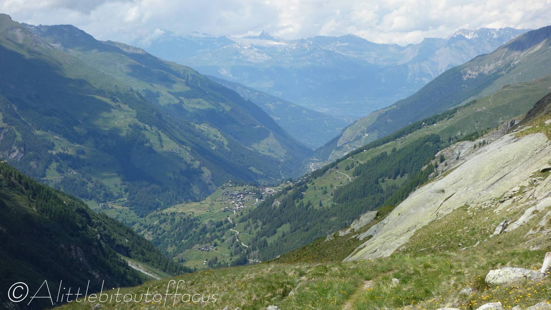
After a relatively gentle start, the walk climbs quite steeply at times up to the left hand side of the Ferpècle valley. It levels out slightly as it approaches Bricola, but the effort is worth it for the fine views.
Note: The walk starts from the small parking area at a copse of trees, just beyond Le Salay, where the road bends 180 degrees to the left. DO NOT drive or park beyond this point, as the rest of the road is Private and you may be fined for using it without authorisation.
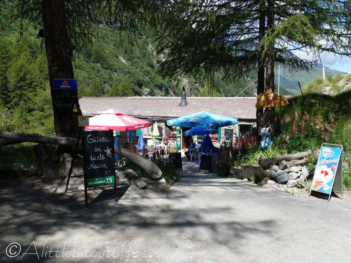
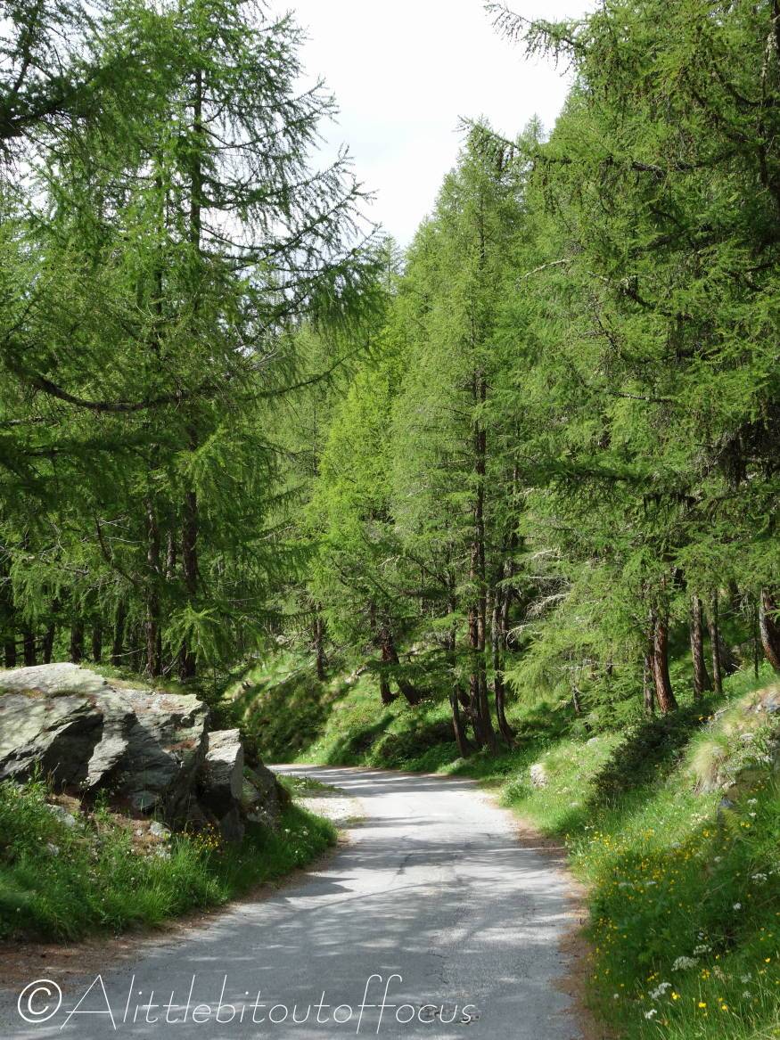
- From the copse of trees/parking area mentioned above (see also map), continue up the zigzag in the road, passing a small café on the right (open in summer), until the road crosses a small stream and bends to the right. On the left you will see a signpost indicating the way and the path enters the trees, initially on quite a rocky path. The path continues through the woods, offering glimpses of Mont Miné and its glacier. Continue heading towards the end of the valley until the path turns to the left and almost back on itself, where you will soon see a signpost.
- Turn right at this signpost and after about 170 metres, the path turns 90 degrees left and zig-zags up to the side of the valley. Follow this path around several turns until it finally heads to the right towards Bricola. After another steep climb up to the left, the path continues more gently along to Bricola. After you pass a small stream, there’s a series of ‘steps’. Be careful here and as you round the final corner there are 2 paths – one slightly higher and one lower. Both will take you to Bricola, though the higher one does involve a slightly tricky step down. The views along this stretch are spectacular.
- Bricola
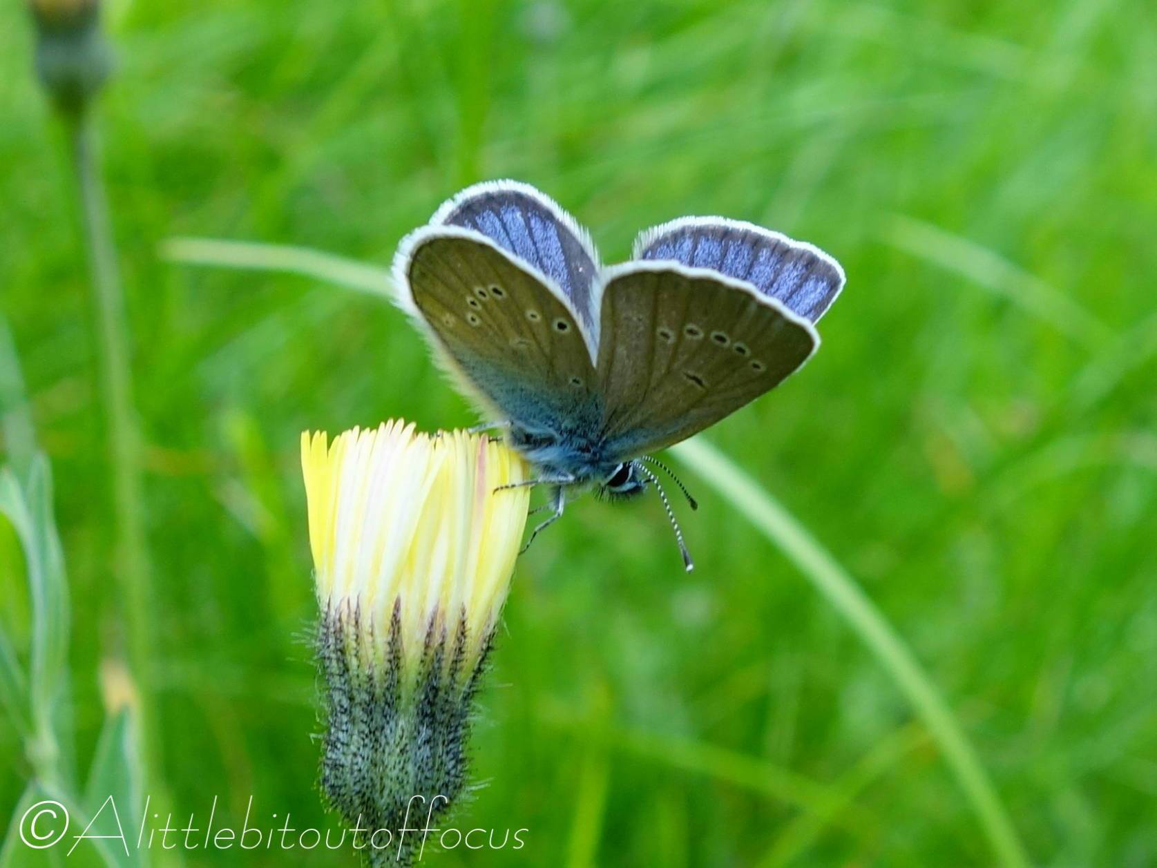
Once you reach Bricola, continue onwards for just a short distance, to get a magnificent view over the Ferpècle glacier. It is here that you should find some Edelweiss growing naturally. - Return by the same path, until you reach the valley floor. Instead of turning right, back along the path you came, continue down towards the river – turning left to cross the river by a wooden bridge. (Also consider walking up either side of the river, if you’re still feeling energetic).
Once over the river, there are several ways back to the right, but the easiest way is found by continuing forward, slightly to the left, to an information board at the junction with a wide track. Turn right here and follow the track back to emerge at the side of a small reservoir. Turn left then right across the bridge to the signpost where you turned off earlier. Continue down the road to the parking area, perhaps taking advantage of the Buvette on the left, which is open during the summer.
