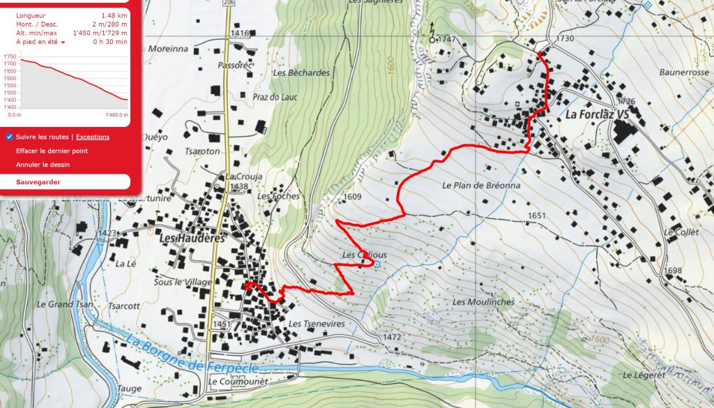
Outline Map:

Gallery:


Route Description:
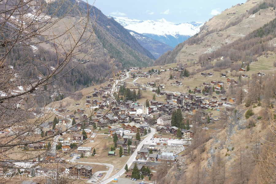
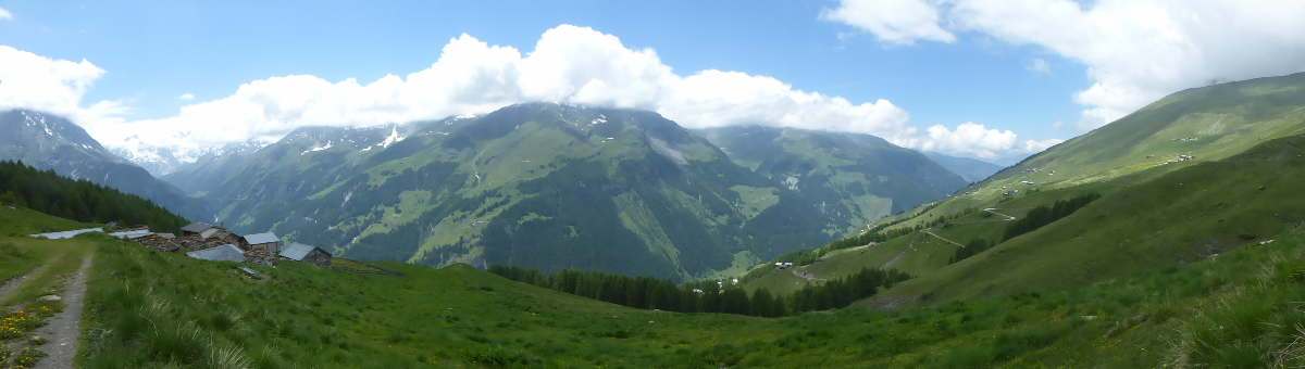
Walk 16: Mayens de Cotter from Evolène (Distance: 12.8 km and 980m of ascent).
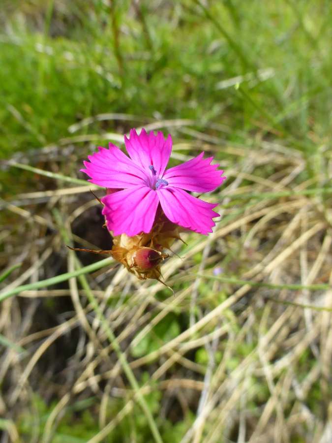
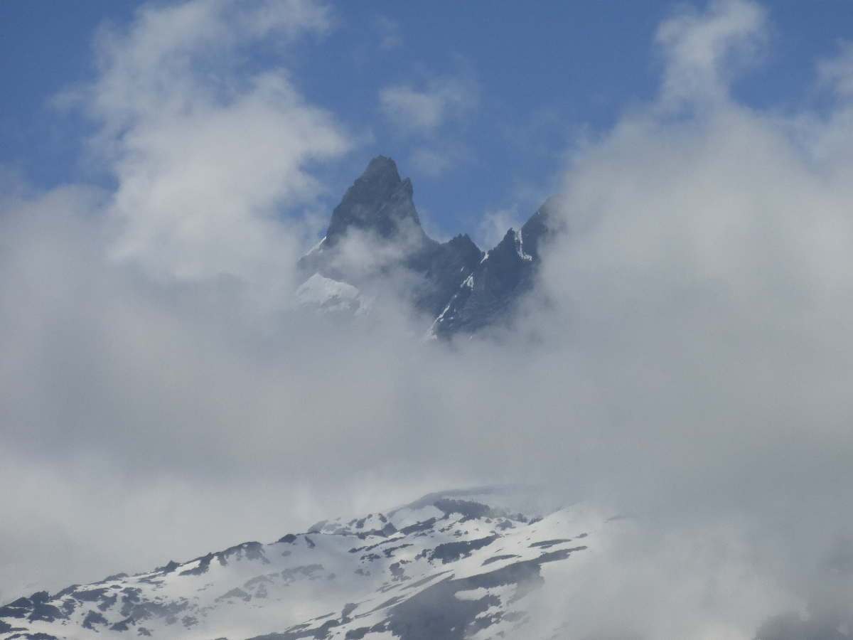
This is a great option to consider if there’s is still a lot of snow on the higher ground, or if the peaks or cols are shrouded in low cloud, or indeed simply to take in the magnificent views and alpine flowers.
The route described here is circular, from Evolène, but there is an alternative option to descend into Les Haudères from La Forclaz (see section 6 and route map below).
- From the via ferrata car park, just beyond the roundabout, walk between the chalets and turn right. The path winds up, eventually meeting a sign (where the via ferrata descent path meets the one you are on). Go right here and continue to ascend until you reach a cross track at a bench. Turn left here. The track bends up to the right and soon enters Villa.
- Villa
At the village road, turn right for 15m and then turn left at a sign. The track ascends steeply, passing through some chalets. After zig-zagging left-right-left the track passes a few more chalets on the left before bending to the right. Straight ahead you will see a stream coming down. Keep to the right of the stream and up a path which crosses a wooden (single plank) bridge and ascends again to the left. Soon you will reach a signpost. Turn right here towards the Mayens de Cotter / Col du Torrent (and National Walking Route 6). The path climbs to a single chalet overlooking the valley and meets a wide track. Turn right then immediately left here and traverse across a wide open meadow. The path bends to the left and climbs to 8 or 9 buildings at Mayens de Cotter. - Mayens de Cotter
Turn right along the good track and follow it past a group of chalets (at Lè Lachiores). Take the left hand fork at a sign and continue along towards another group of chalets at Le Prelet. Turn left at the signpost and climb up again before traversing across until it meets a wide track. Turn right here and follow the track, or go straight on and cut the corner, turning left at the track to some chalets and a signpost at Le Tsaté. - Le Tsaté
Turn right as signposted to La Forclaz and Les Haudères, to the right of a wooden cross. The path descends steeply, firstly to the right and then bends back to the left and through some trees to a stream. Cross the stream and follow the wide track to the right of some buildings (Mayens de Motau). Follow the sign to La Forclaz and La Sage. The path goes to the right of the buildings and descends to a track. Keep to the higher path as it bends to the left (as indicated by the arrow on a stone). Turn left along the (often rather wet) track to a man-made track/road and then turn right. After about 20m, a path goes off to the right and descends across a field to another track/road. Either go straight ahead and follow the path down until it emerges through some chalets or turn right and follow it as it winds back down to La Forclaz. - La Forclaz to La Tour and Evolène
Cross the main road to the smaller of the 2 car parks and at the far side, take the track down to the right. After about 80 metres, a track goes off to the right. Follow this track down and across the open meadows to a signpost. Turn left here along a path which enters a wood, soon emerging next to 2 chalets and along to the main road. Turn left and cross the road carefully before turning right down the road, which runs by a farm (on the right). After 150 to 200m, you will see a signpost indicating to go left down a track to La tour and Evolène.
Follow this track as it descends to the right, between some chalets and then crosses a stream (with a small waterfall on the right) before going to the left. The path down is now clear all the way to La Tour, where you emerge from the woods at some new chalets and turn right to meet the La Tour road and head right back to the via ferrata car park/Evolène. - La Forclaz to Les Haudères
At the far end of the small car park, go left then descend to the right to the lower/main part of the village. Look out for a narrow gap on the left, between a wooden raccard and a small house, where there’s a hand-made wooden sign indicating the way down to Les Haudères (also called Chemin de Zerman). Follow this down quite steeply and then turn right at a track.
From there the route is fairly clear, as it goes down to the left (passing a few small renovated raccards on the right). As the track begins to level out, it meets a track coming in from the left and a small signpost indicating to turn right. The path continue to descend, turning left then right and goes between 2 small chalets. Quite soon you will see a signpost, here you can continue straight on (to Les Foches) or take the left hand turn (as per the map below). Both options take you straight across the main road (take care) before the paths drop into Les Haudères.