Outline Map:

Gallery:


Route Description:
Walk 15: Alpage de l’Etoile from Evolène (Distance: 14.1 km and 925m ascent, max*)
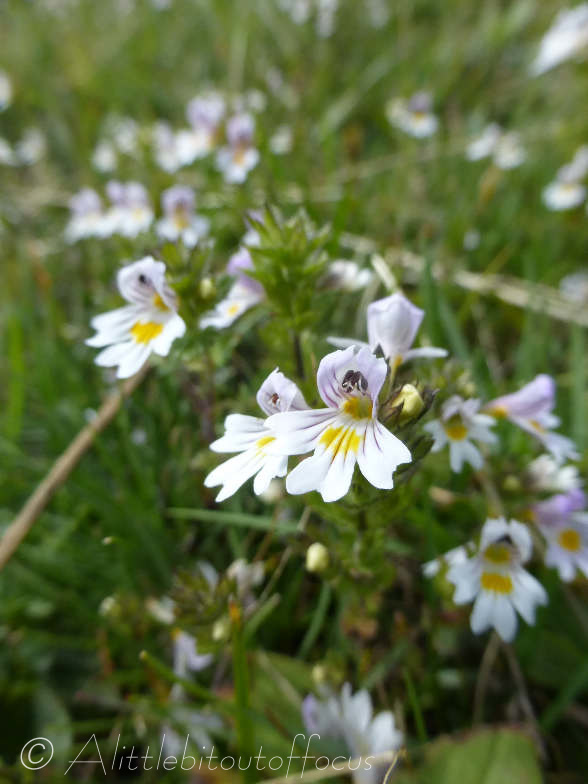
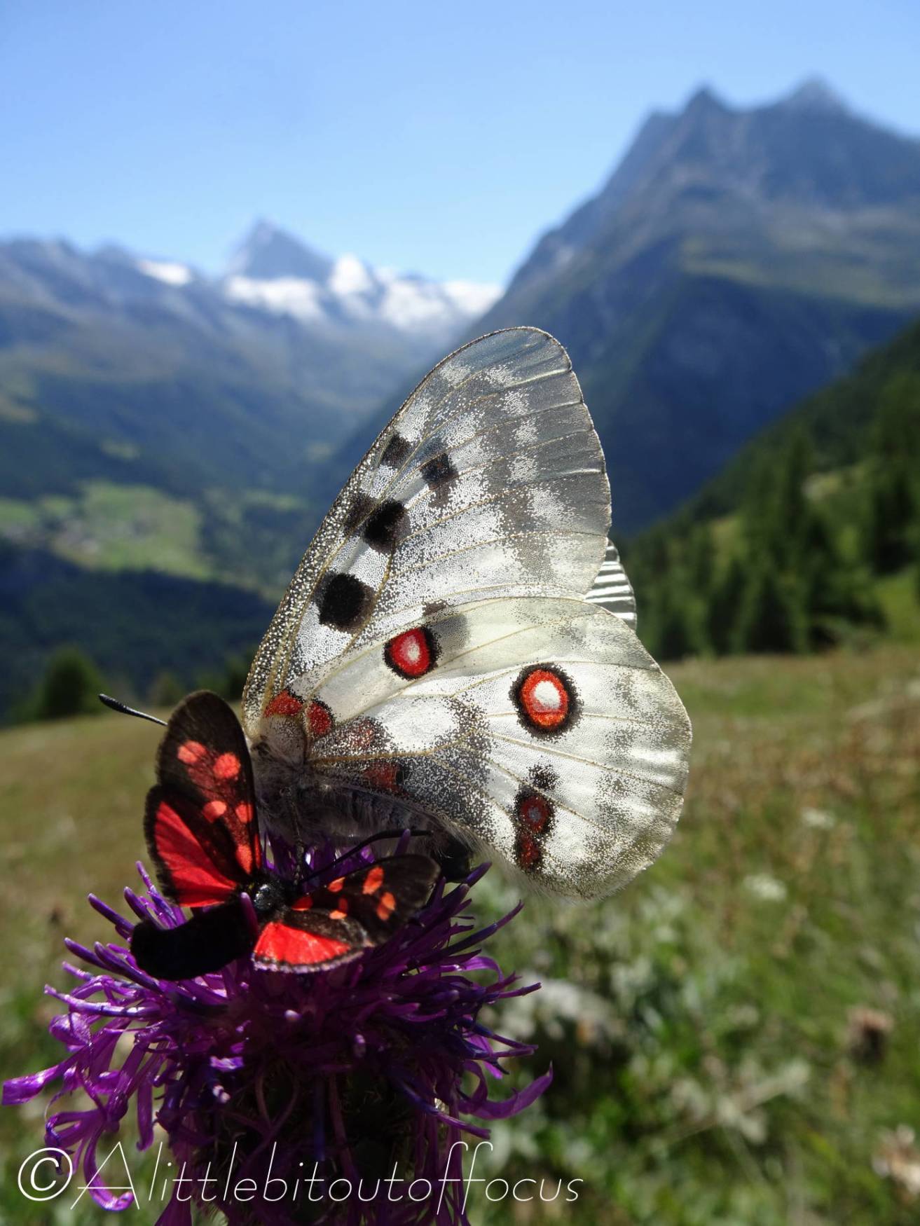
This is quite an ambitious walk, setting off from Evolène, though there are options to cut it short (noted with an * below). That said, it gives wonderful panoramic views across the valley and, in summer, there are a host of flowers and butterflies to be captured on camera.
- From Evolène church, take the narrow roadway to the left of the Boulangerie. Cross over the Lannaz road and as the track bends to the left, veer off to the right, more or less continuing forward to the riverside. Cross over the bridge and turn right up a track. After only a short climb, a path goes off to the left. Follow this upwards, to the left of a raccard and walk directly up the slope towards the woods. After a very steep section, the path zig-zags to the left and enters the wood.
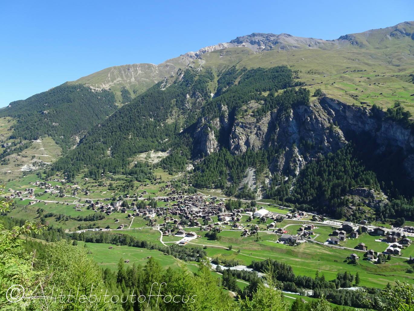
- Follow the path diagonally up through the wood until it zig-zags and meets another path. Turn left here and follow what becomes a wide track to Les Giettes. (Look out for a herd of Yaks which live nearby). Continue along the track until you see a signpost at a small stream coming in from the right. Turn right here and very soon the path turns left and bends to the right. Continue climbing upwards until you meet a road at a U bend. Follow the road upwards for about 80 metres and take a path on the right hand side. (This simply cuts off the corner of the road). You will soon reach a few buildings at Mayens de la Cretta. (Here you may see many butterflies).
- Mayens de la Cretta
Continue past the buildings and, just after you cross a small stream, the path goes diagonally up to the right and into the woods. Continue through the woods and, as it emerges, the path bends to the right and climbs up to Le Tsalè de la Cretta – an almost hidden hamlet in a small dip. Continue upwards to a track and signpost (@2,091m). *If legs are tired then you can descend from here. If not, then continue up the track to reach the farm at Les Chottes de L’Etoile (@2,190m). - Les Chottes de L’Etoile
Return the way you came and follow the track all the way down until, after a sharp right hand U bend, you will be approaching some buildings with some other buildings below and off to the left at Les Chlistes. Take the left hand path which goes down to and between the buildings at Les Chlistes, before zig-zagging down to the road to Arolla. Turn left here for about 50 metres then turn right down a path, which takes you all the way down to Les Haudères, again crossing (directly over) the Arolla road. - Les Haudères
Refreshments are available in Les Haudères, as is a regular bus service back to Evolène, if required.
Otherwise, or once refreshed, take the track on either side of the River Borgne, all the way back to Evolène.
