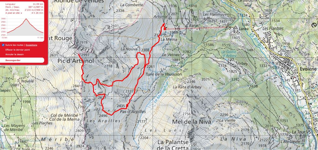
Outline Map:
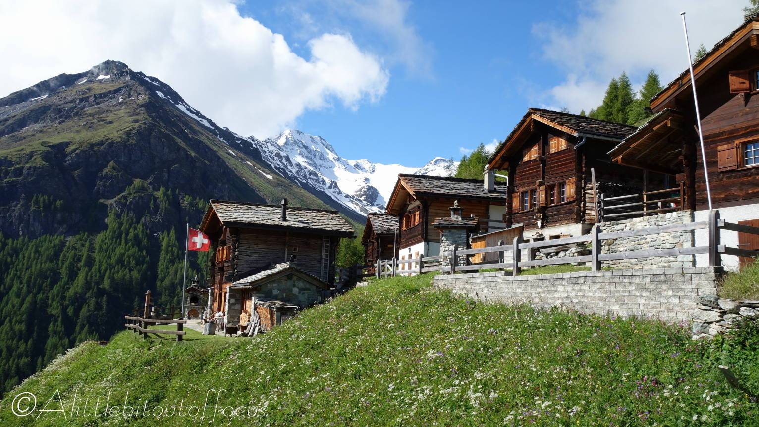
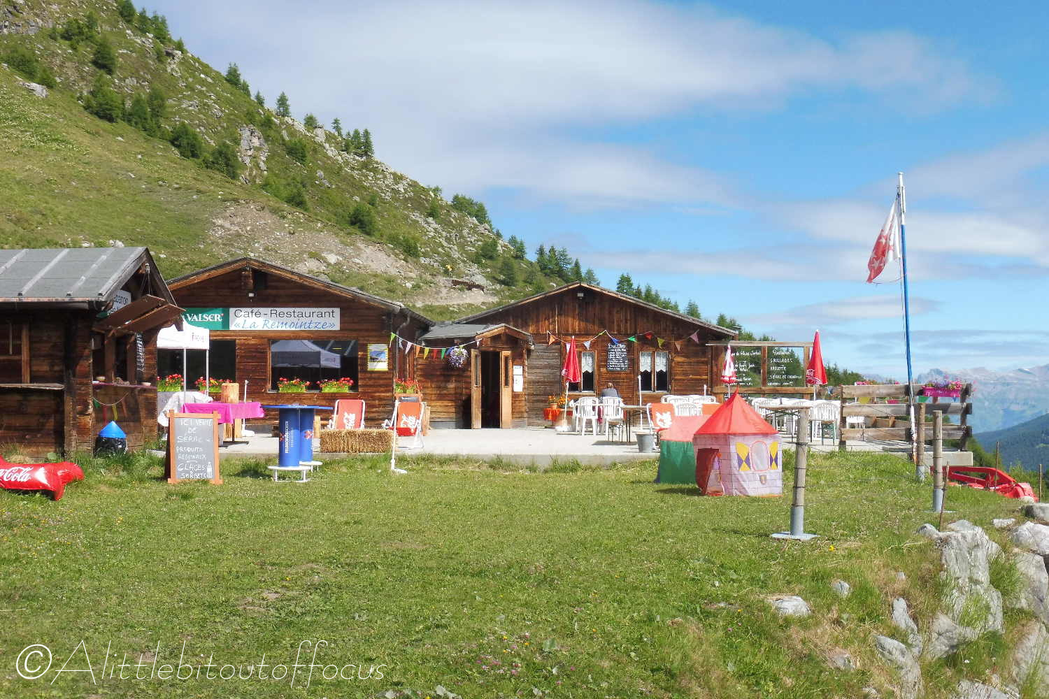
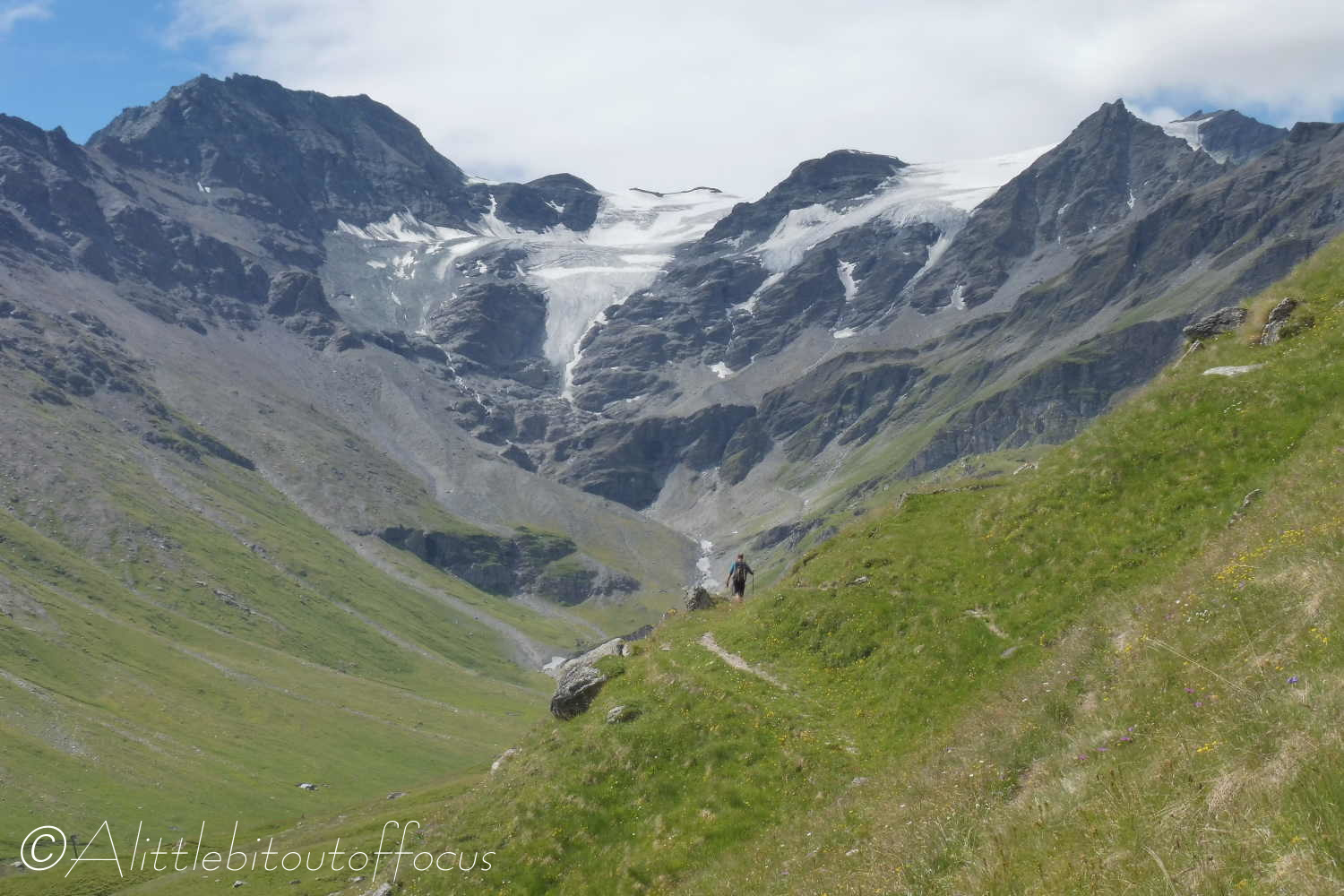
Gallery:


Route Description:
Walk 14 – Pic d’Artsinol @ 2997/8m (from chairlift – Distance: 11.1 km and 890m ascent).
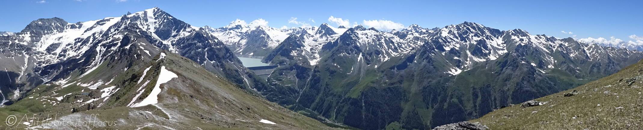
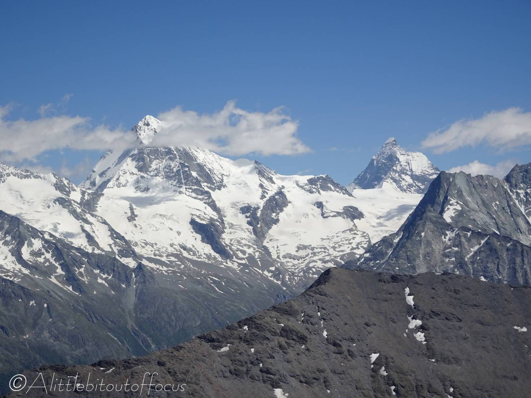
Although the Pic d’Artsinol can be done from the valley floor (which would be graded here as Challenging), during the summer months the chairlift operates from Lanna up to Chemeuille and so saves the walker 700m of ascent. Route finding is relatively straightforward, but there is a bit of a sting in the tail, as the last part is quite strenuous (possibly due of the altitude). The summit does however give great 360 degrees views, especially of the Grande Dixence Dam.
- Chemeuille
If returning via the chairlift, please note the time of the last lift back down to Lanna. Walking back from Chemeuille is possible but it’s a long descent after a good days walk. (See point 5b below).
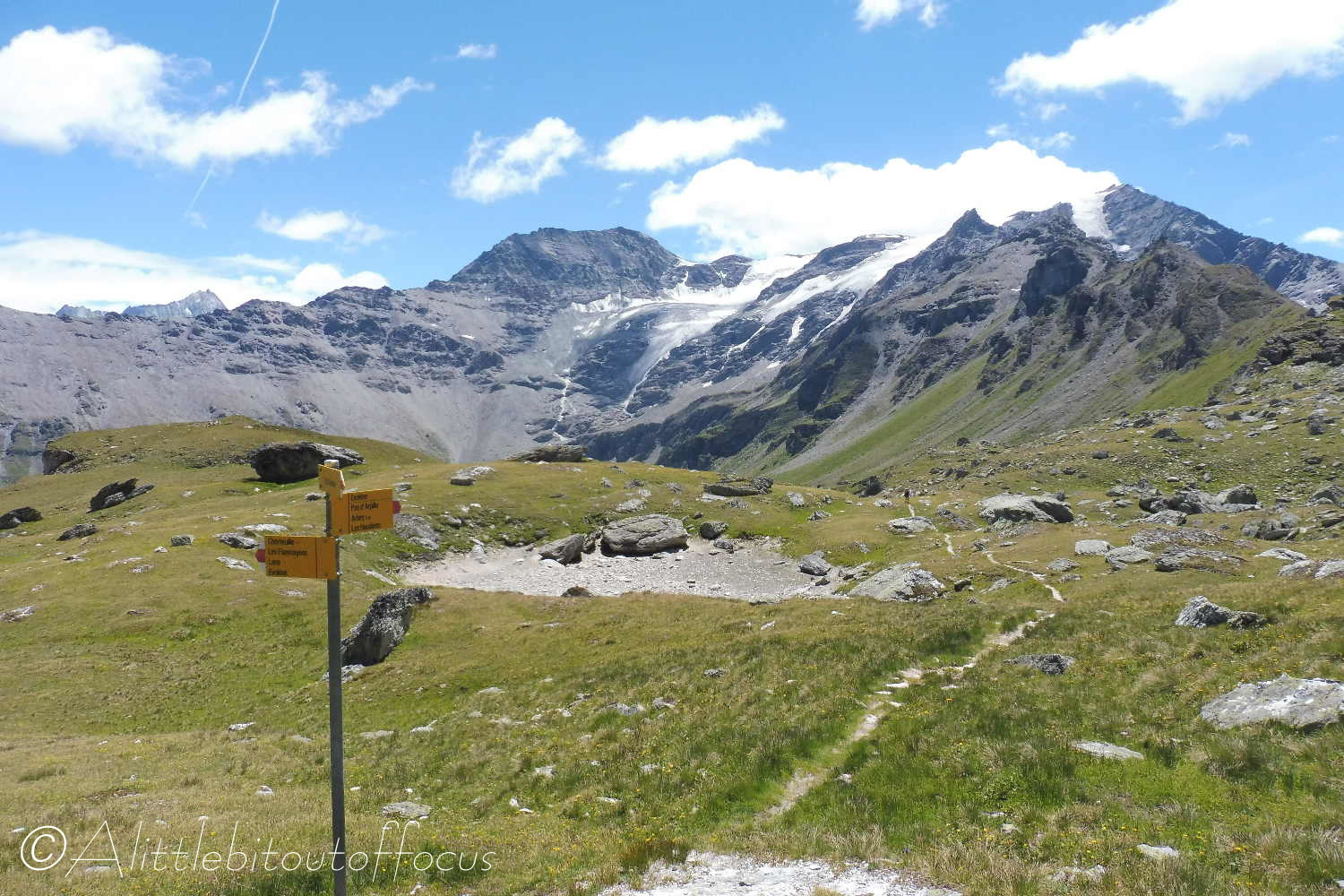
At the top of the chairlift, turn right along the track and follow it around as it bends to the left, past some farm buildings. Follow this track upwards until it does a U turn to the right, the path carries straight on (to the left of the bend in the track – signposted). The path soon meets another track, continue in the same direction (to the left). The track continues to rise and then crosses a rocky meadow, before ascending quite steeply and going right then left up to a cross at Pas d’Arpilles (2436m). This cross is quite prominent and visible at various times during the ascent. - Pas d’Arpilles (cross)
At the cross there’s a signpost indicating to go right. The path traverses across another meadow to a rocky outcrop. It then bends around the left hand side of the rock and splits into two. Either route is correct, as they both head in a northerly direction, crossing a meadow. About 700 metres after turning around the rocky outcrop, the path rises more steeply towards the right where there is a signpost indicating to turn left. Follow this path upwards to another signpost*, which indicates left to the Col de Meina, but to turn right to the Pic d’Artsinol. - The path crosses another meadow and passes a small lake before meeting another signpost. Turn left here and follow the clear path which rises very steeply to a col. At the col turn right and go up the ridge to the cross at the top. (Note the line on the cross indicating 3000 metres !)
- Pic d’Artsinol summit
Return to the col via the same route and descend to the signpost mentioned above (asterisked). From here there are two options (indicated by the signposts) – one is to go right and return the same way that you came (take this option if you wish to walk back down to Evolène – see Section 5) and the other is to turn left (following the direction of the sign) and skirt around to the left before the path bends right and drops down to a ski lift. Follow the line of the lift downhill (carefully, as it’s very steep and rocky) until it ascends again very slightly and a sign and a gate indicate to go left. The clear tracks meander down to Chemeuille and the chairlift. - Anyone wishing to walk back to Evolène can do so either by:
a) reversing the route back to the cross mentioned at Pas d’Arpilles above, then descending and taking a right hand fork shortly afterwards. (Look for an arrow on a small rock to the right of the path). This path runs underneath the ski lift initially before veering to the left and descending through the woods to Tsalé de la Vouasson. Signposts are strategically placed at key junctions to indicate the way back to Evolène. (See also map below where the Pas d’Arpilles is in the bottom left corner).
b) from Chemeuille the path heads south (right, as you’re looking straight down the chairlift into the valley) towards some old raccards. It passes by these, descending gradually before veering round to the right and then left. The route then descends more steeply to Vernex, where there is a signpost. Follow the path down, ignoring any which say Lac d’Arbey to the right (unless you’d like to go that way of course), as the most direct route continues onwards, on clear paths, to Evolène. (See map below).

