Outline Map:

Gallery:


Route Description:
Walk 6: La Sage and La Forclaz to Les Haudères from La Tour (Distance: 4 km and 325m of ascent)
This walk starts in La Tour, but it could also be done from Les Haudères (and walking down the road to La Tour) or from Evolène (and following the initial route description in Walk 5).
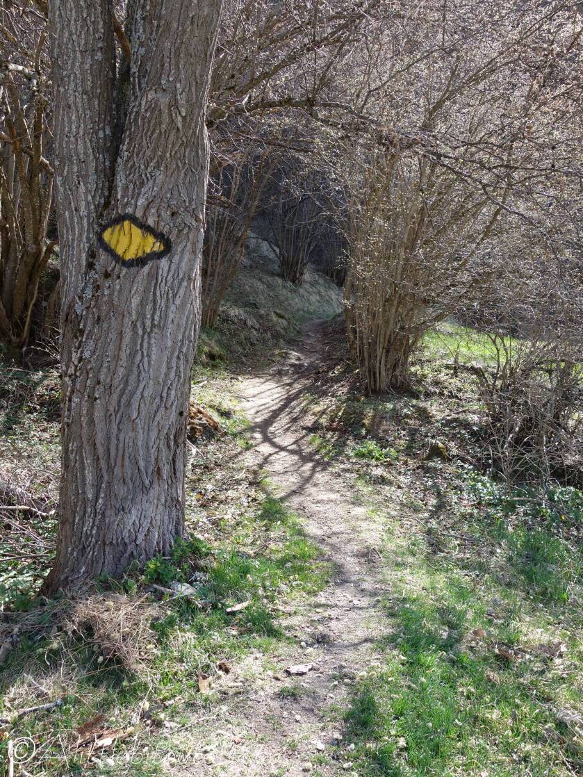
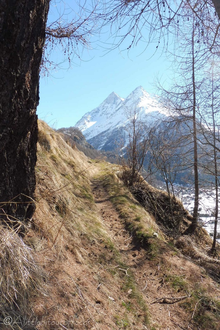
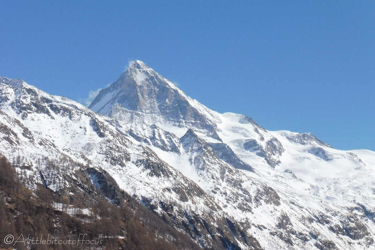
- From La Tour: Take the road/track to the left of the chalets, called Route du Stand, signposted to La Sage and the Col du Torrent. After 50m turn Right at the sign and follow the track/path across the field, to the left of a new chalet, and into the woods. (You pass a bench and there’s yellow diamond signpost on the tree – see first picture in the gallery). The track goes quite steeply up through the woods and after around 20 minutes you should reach a good viewpoint over the valley and Les Haudères.
- After a further 100m, you meet a farm track. Turn left here, again going steeply up. The track eventually turns into a tarmac road, meeting another road at a T junction with a signpost. Turn right here.
- Around 150m along the road you will meet the main road between Les Haudères and La Sage, turn left here and cross the road, only for around 10m, and you will see a track / path opposite just before the trees. There are yellow signs on the tree and a wooden raccard/small barn in the distance indicating the way. Just after the raccard/small barn there is a sign indicating Private property and to go left to La Forclaz.
- The path emerges from the woods into a clearing, where there are nice views over a meadow. Carry straight on in the direction of La Forclaz to the left of another raccard. You will meet another path at a signpost. Again continue forward to La Forclaz the path rising steeply towards the end.
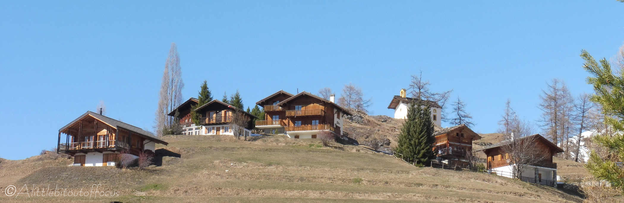
- La Forclaz: As you enter the village, with the car park to the left, keep straight on and go down the hill. Soon you will meet a tarmac road. Turn right here for about 50m and you will see a half hidden path between an old wooden raccard and a small house, with a wooden signpost saying Les Haudères. (The path is called Chemin de Zerman).
- The path drops quite steeply before meeting a cross track. Turn right here and follow that path down the hill across open fields and past 2 renovated chalets. As the path bends to the left it levels out and there is a right turn (signposted with a yellow walker). Turn right here and follow the path down the hill.
- About half way down the hill, there is a well signposted left turn*. Take this path down into Les Haudères, taking care when crossing directly over the road.
*Don’t worry if you miss this signpost as the track also continues down into Les Haudères. - Les Haudères: Once you reach the village, turn right and follow the road through the village. After maybe 100m, at a water trough, you will see the Hotel de Veisivi on the left. The Rösti Géants and Paninis are fabulous.
- If you wish to return to the start point from Les Haudères, you can either take the road back to La Tour, or drop down and follow the river, taking the track up to La Tour at the second bridge. (The first bridge is at the camp site).
