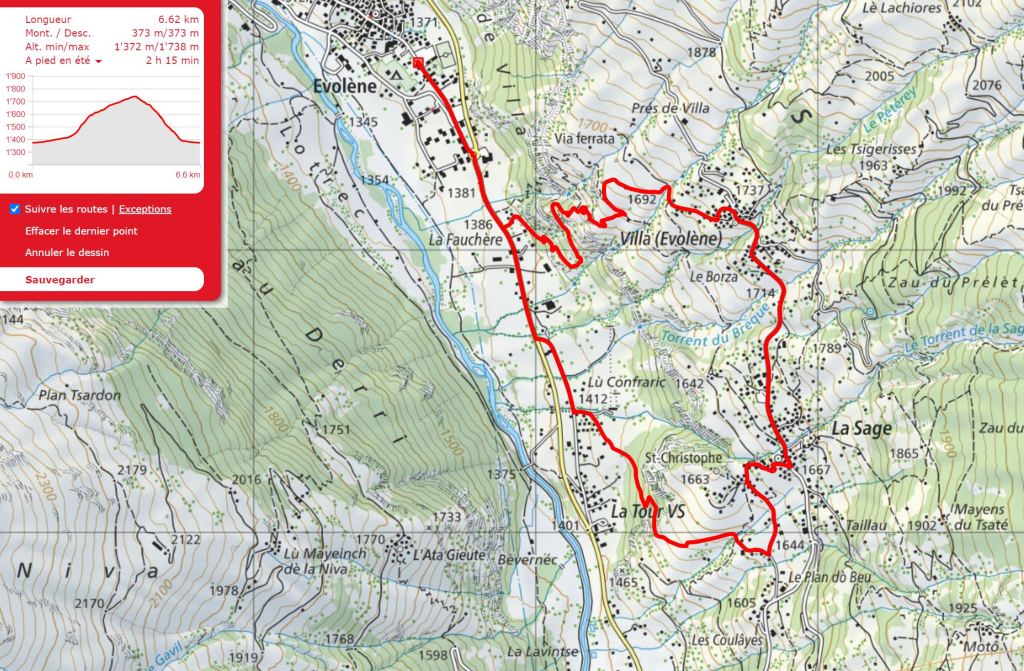
Outline Map:
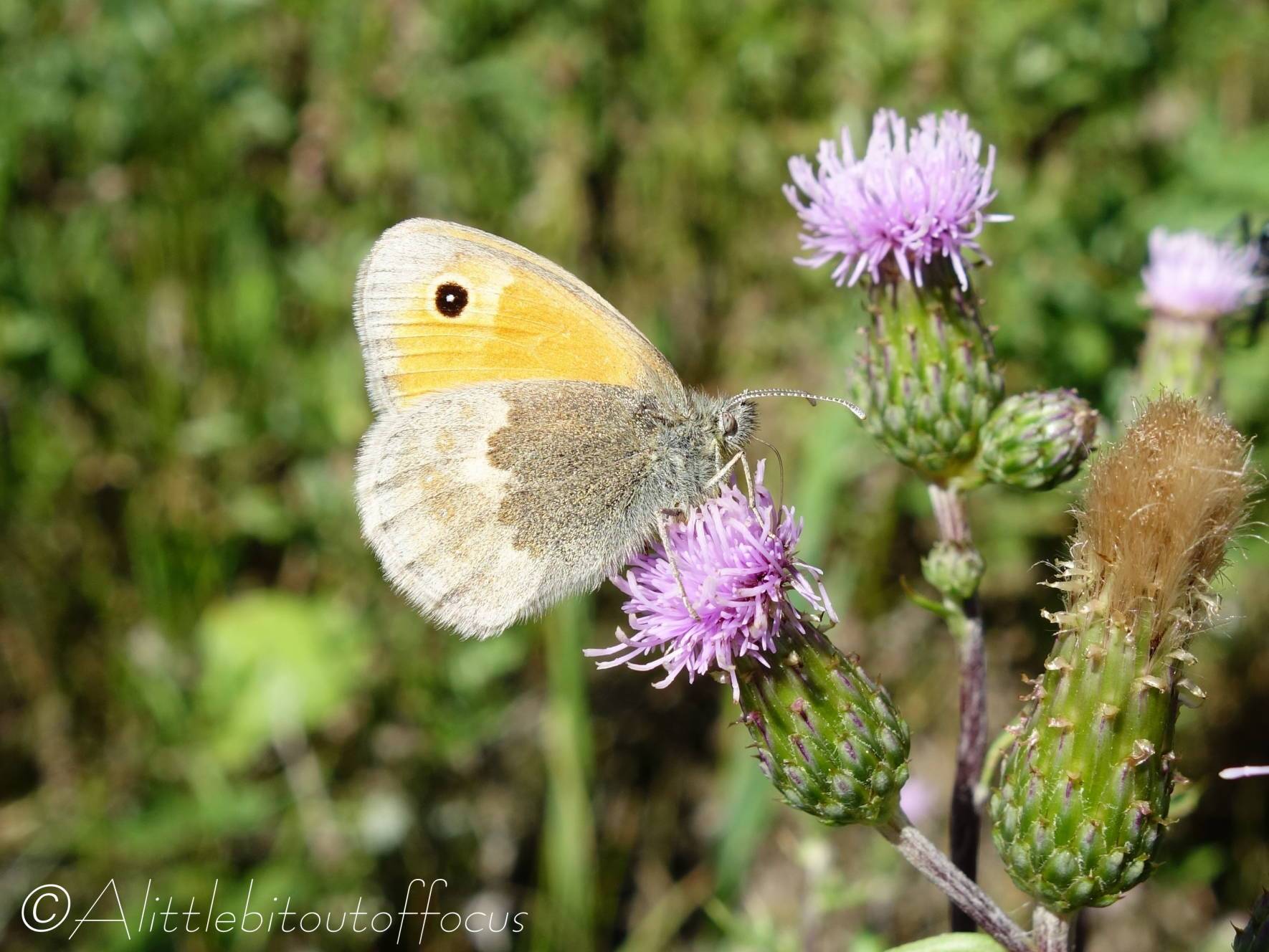
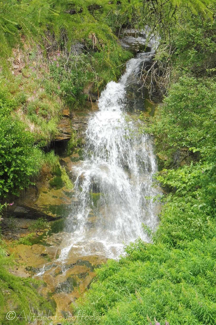
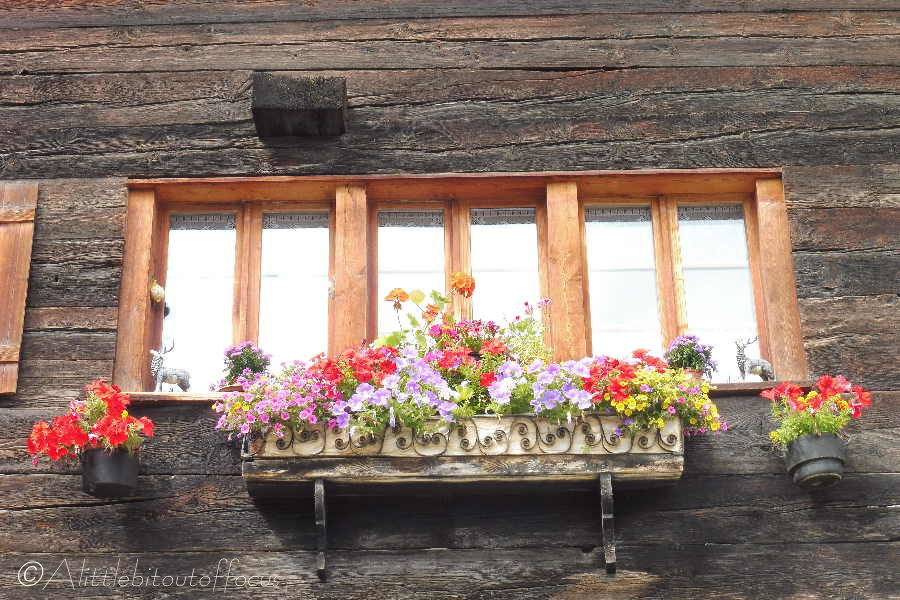
Gallery:


Route Description:
Walk 5: La Sage and Villa from Evolène (Distance: 6.6 km and 380m of ascent)
This circular walk can be done from Evolène or La Tour and is around 6.5k in length with 380m of ascent. It takes in two of the local villages and gives wonderful views of the valley as well as the mountains and glaciers beyond. There’s also the option of a short detour to the Chapelle de St Christophe on the hill just below La Sage.
- From the Evolène car park, walk along the main road towards Les Haudères. Continue up the road past the Co-op roundabout and (after a further 800 metres) as the footpath on the left of the road ends, go up the tarmac road on the left. After a short rise of only a few metres, take the farm track which goes off to the right (signposted).
- This track soon crosses a wooden bridge before descending to another tarmac road. Walk along this road for around 400 metres to a group of chalets. Take the road/track on the left, called Route du Stand and signposted to La Sage & the Col du Torrent. After 50m turn right at a signpost and follow the track/path between some chalets. As you reach the last (new) chalet on the right the path goes off left and up into the woods. (There’s a yellow diamond signpost on a tree). The path goes up quite steeply through the woods, zig-zagging left then right, twice, but you will soon emerge to a fine viewpoint looking up the valley to Les Haudères.
- A further 100m after the viewpoint, you meet a farm track. Turn left here, (there’s an arrow on wall opposite) and again the route goes up quite steeply as it bends to the right. As you get to a stream, there is a sign pointing left to La Sage. You can take this path (which is shorter but steeper) or continue on the track and up through several chalets to meet a road at a T junction with a signpost. Whichever route you take, turn left at the road to La Sage.
- Chapelle de St Christophe detour
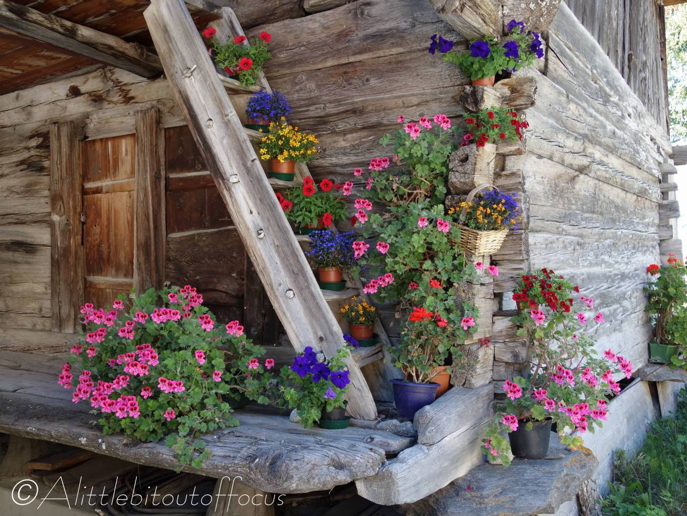
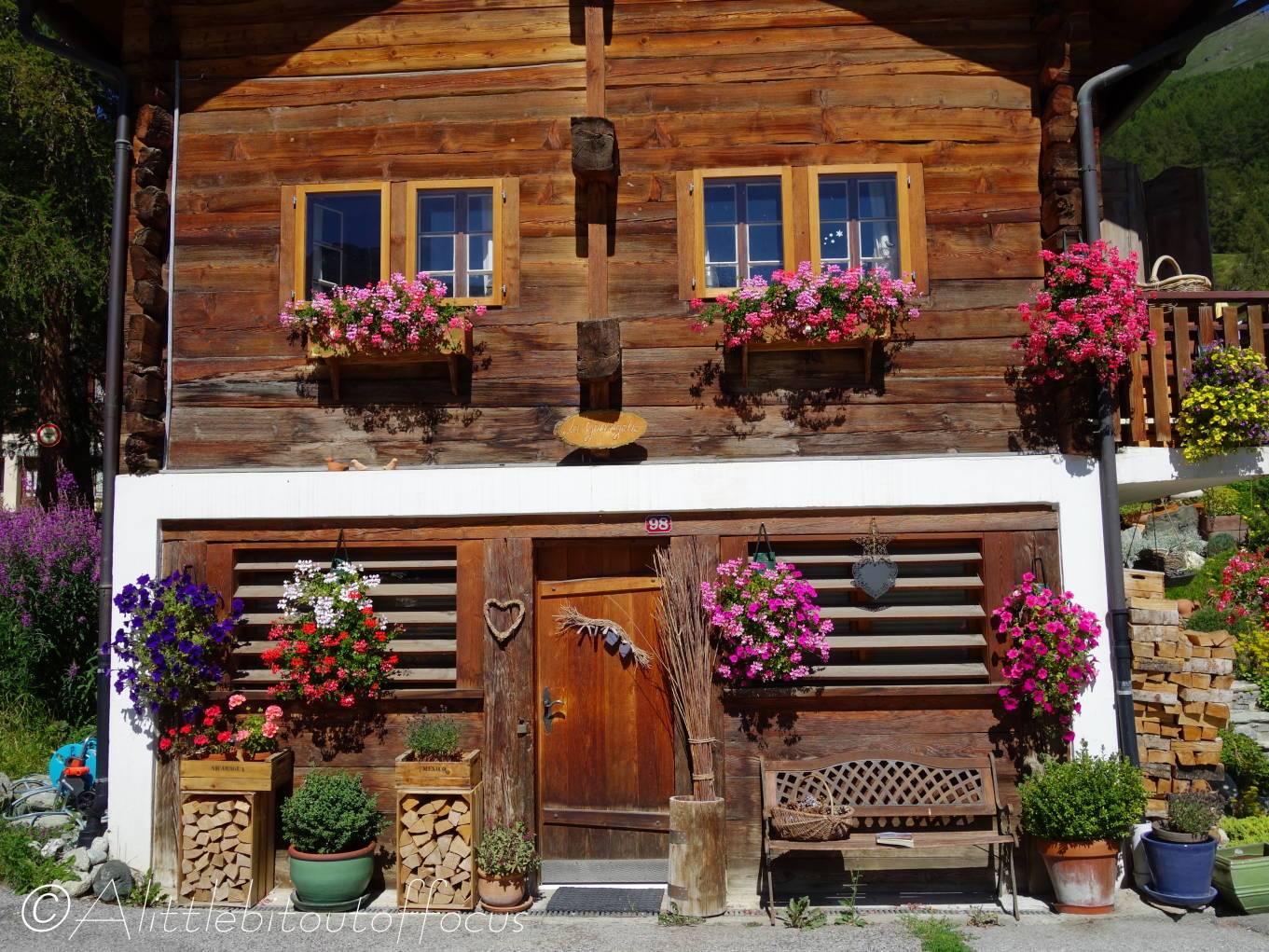
On the left there’s a signpost indicating to go left to up some steps and a path to the Chapelle de St Christophe. This chapel also gives fine views over the valley and is worth the short but sharp detour. Return the same way and continue up the road to La Sage. - The road bends around to the right, past the blue and white Hotel de La Sage, then zigzags left and right up to the main road. Turn left here and follow the main road to Villa. You will soon pass a Café/restaurant called Les Collines, which is lovely place to stop for a drink, or even lunch, on their fabulous terrace which overlooks the valley.
- Continue along the road for around 1 kilometre to Villa, passing several interesting chalets along the way. You will pass a small car park on the left and go over a wide bridge. The road then bends to the right and there’s a small chapel on the left hand side. Only 20 metres after the chapel there’s a concrete ‘cobbled’ road. Turn left down here, then follow the road down to the right of the chapel.
The road descends through several chalets and soon becomes a track. The way forward is now clear as the track bends to the left, over a stream, then right past a wooden raccard. About 40 metres after the raccard, the track turns 90 degrees left and descends steeply, turning again to the left before it reaches a signpost just above a wooden bench. Turn right here and follow the path down through the woods. The path meanders down, steeply at times, before emerging between two chalets at the via ferrata car park. Turn right along the main road to Evolène.
