Outline Map:
Gallery:

Route Description:
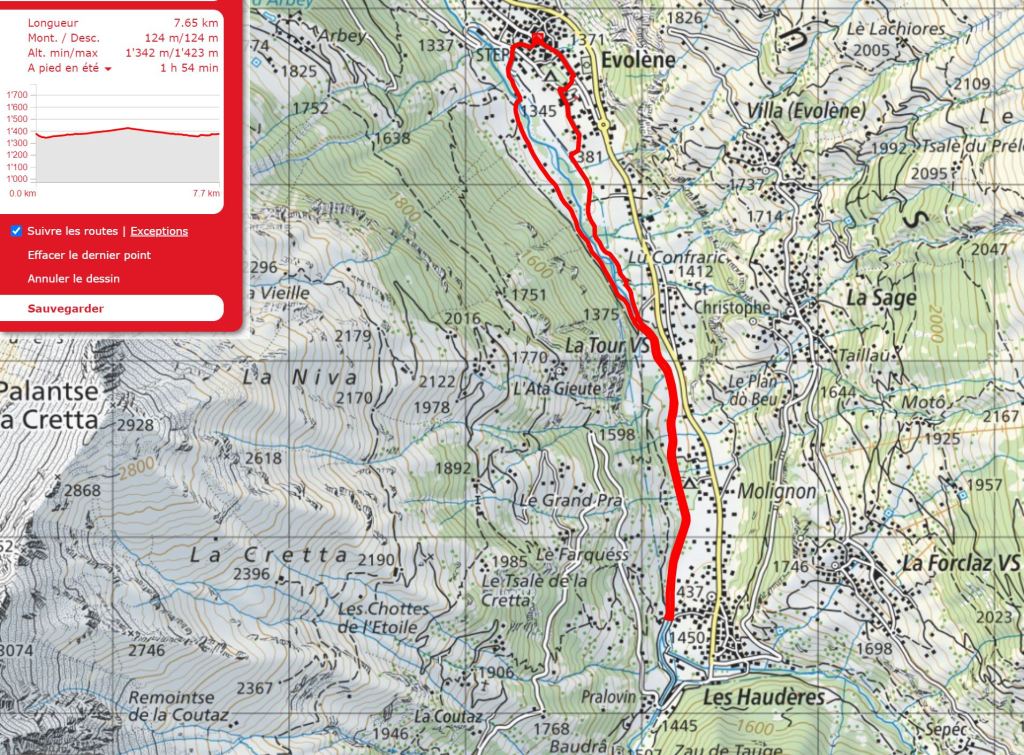
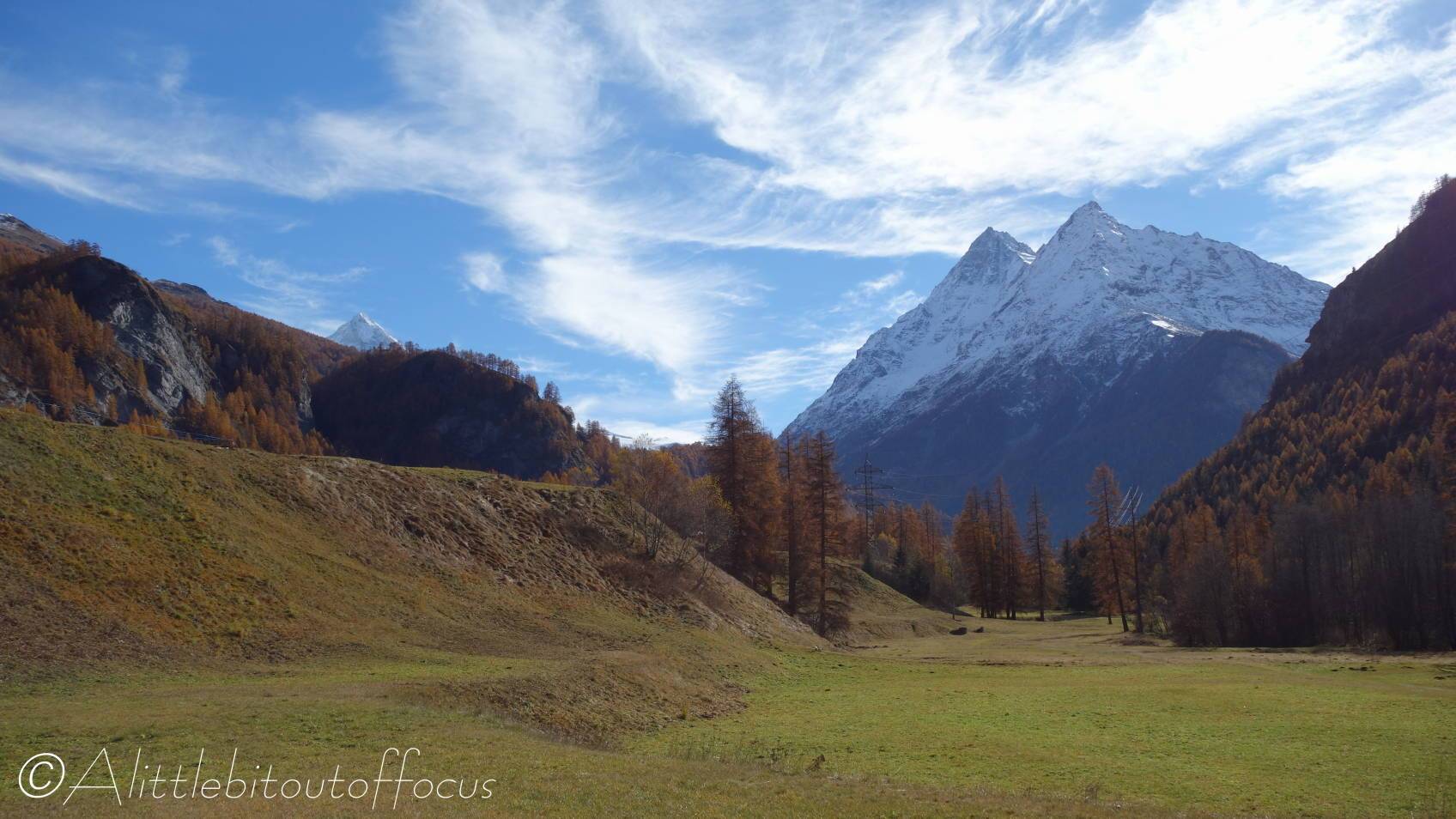
Walk 2: La Borgne Riverside Walk to Les Haudères (Distance: From 2 to 10 km and up to 150m ascent)
This describes the full walk from Evolène to Les Haudères and back again, but there are much shorter options available by crossing either of the 2 bridges along the way.
- Either take the Lannaz road from near the roundabout and look for the left turning (signposted) after about 600 metres or, from the church, go down to the narrow road by the left of the Boulangerie and cross the Lannaz road.
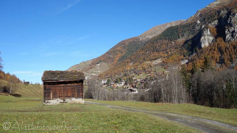
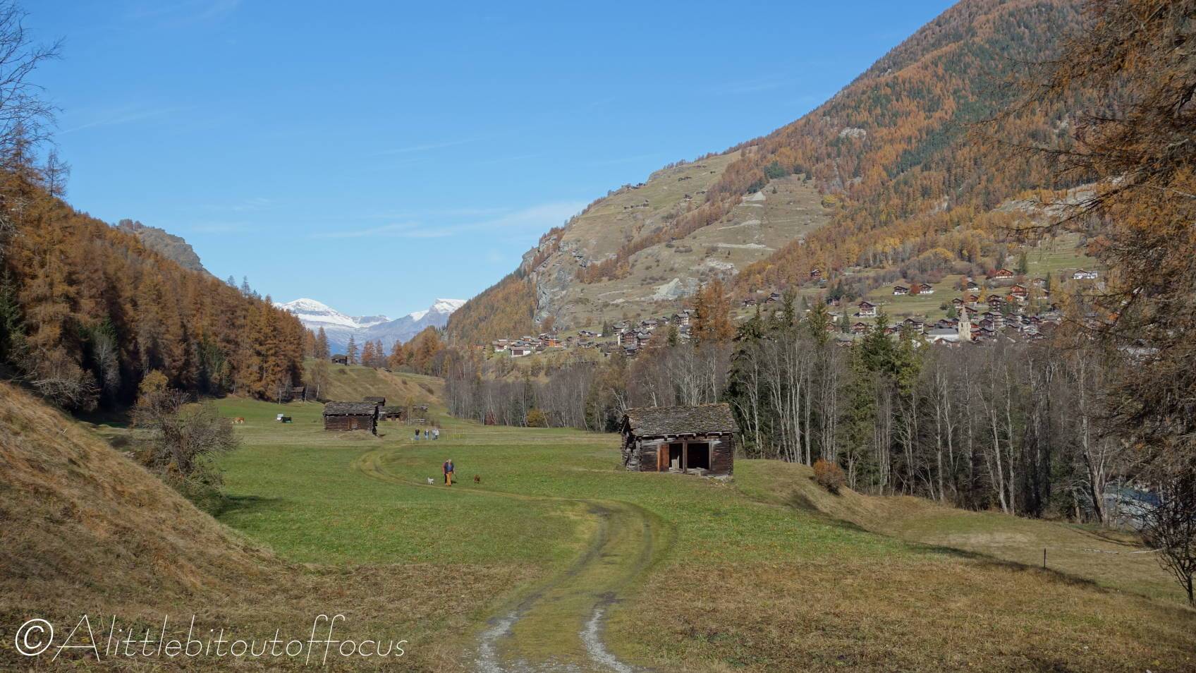
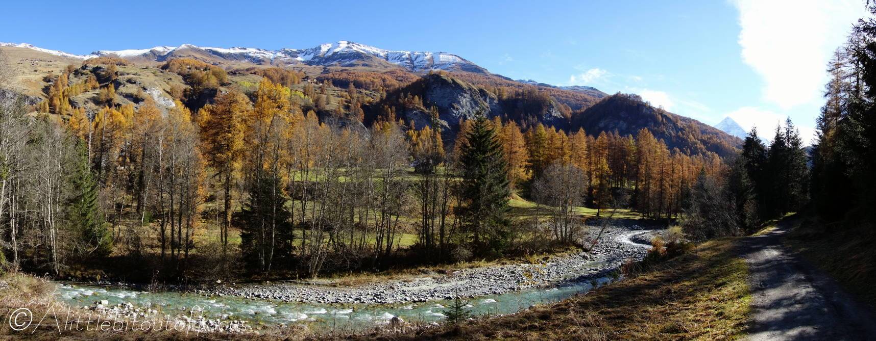
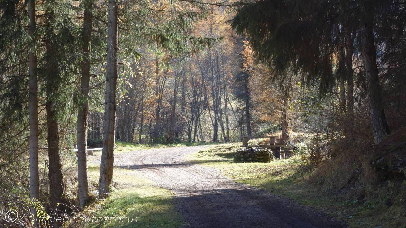
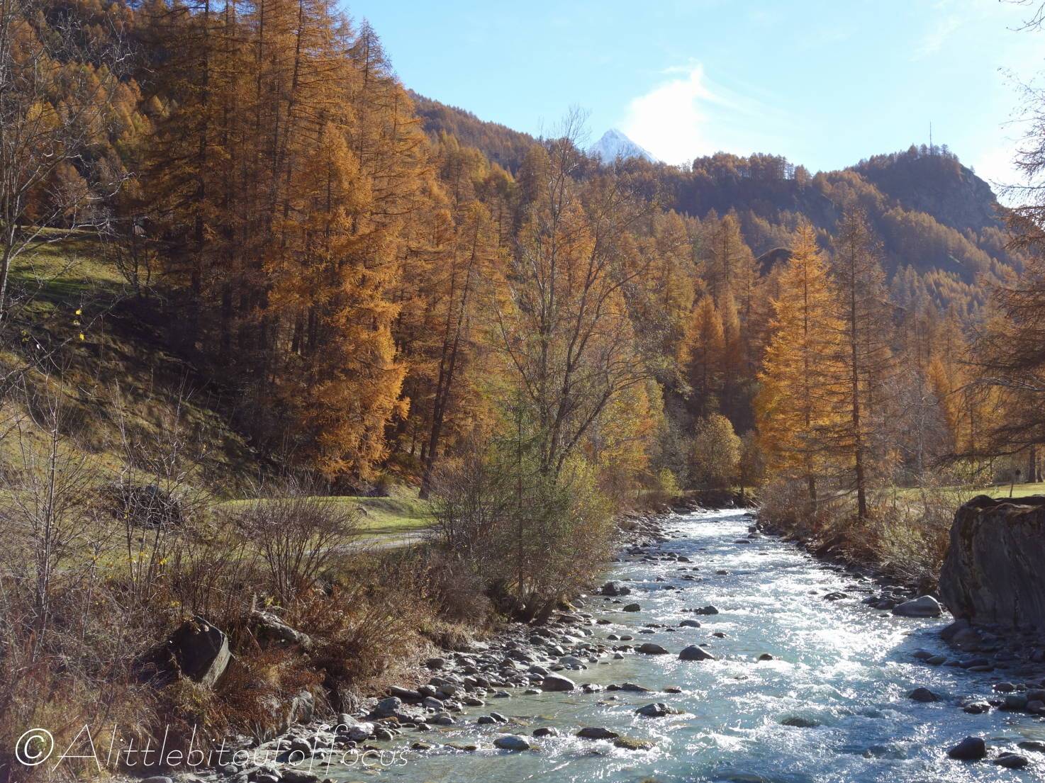
- This road is called the Route de Fonvillaz. As the road bends to the left, take the track on the right hand side, which runs alongside the near side of the river to a bridge. Cross the bridge and turn left. The wide track runs all the way along the river (past 2 bridges) to Les Haudères.
- 1st Bridge (Pont de la Quetse)
Here, you can continue along the riverside path, or take a right hand turn immediately after the bridge.
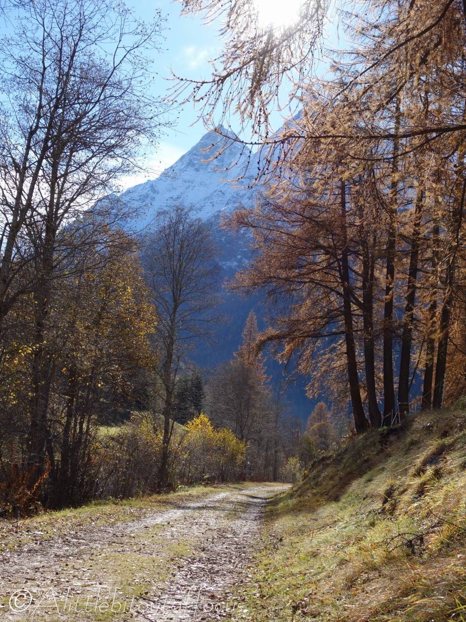
This alternative path runs slightly upwards initially, but then undulates gently along a more elevated path, giving excellent views of the Dent Blanche and over Les Haudères. It descends to the riverside just before the bridge near Les Haudères.
Alternatively, you can cross the bridge and turn left. The path runs all the way back to Evolène, initially by the side of the river, but then slightly away from it, through some woods and a wide field. As you approach Evolène, look out for the chalets on the bank on the right hand side and take the path up to there, returning through Evolène village. Or continue on the track to the Route de Fonvillaz, which you came down earlier (see 2 above) and then turn right and go directly across the road up into the village, or reverse the route taken earlier.
Another variation is to cross the bridge, turn right and continue along the other side of the river to Les Haudères or the next bridge. - 2nd Bridge (Pont Neuf)
Again, you can continue along the right hand side of the river, or cross and turn left, then follow the path all the way back to the 1st Bridge and ultimately Evolène, (see description above).
Or you can cross the bridge, turn right and continue along to Les Haudères.
Note that there is a restaurant/café directly up from the bridge at Camping Molignon. - Les Haudères
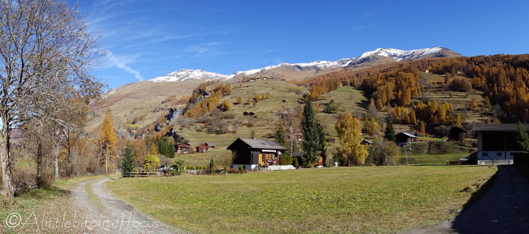
At the 3rd Bridge, you can cross (if on the right hand side of the river) and return as described below or walk up the road to explore Les Haudères. The road bends left, then right, to meet the main road.
In Les Haudères, there are several restaurant/cafés, such as the Veisivi Hotel (closed on Wednesdays) and the Hotel Melèzes. - Return to Evolène via the same route, maybe taking an alternative side of the river, or you can catch the bus or walk back down the road.
If you walk back down the road, it’s recommended that you take the road through La Tour, as the main road has no pavements between Les Haudères and the Evolène side of La Tour.
