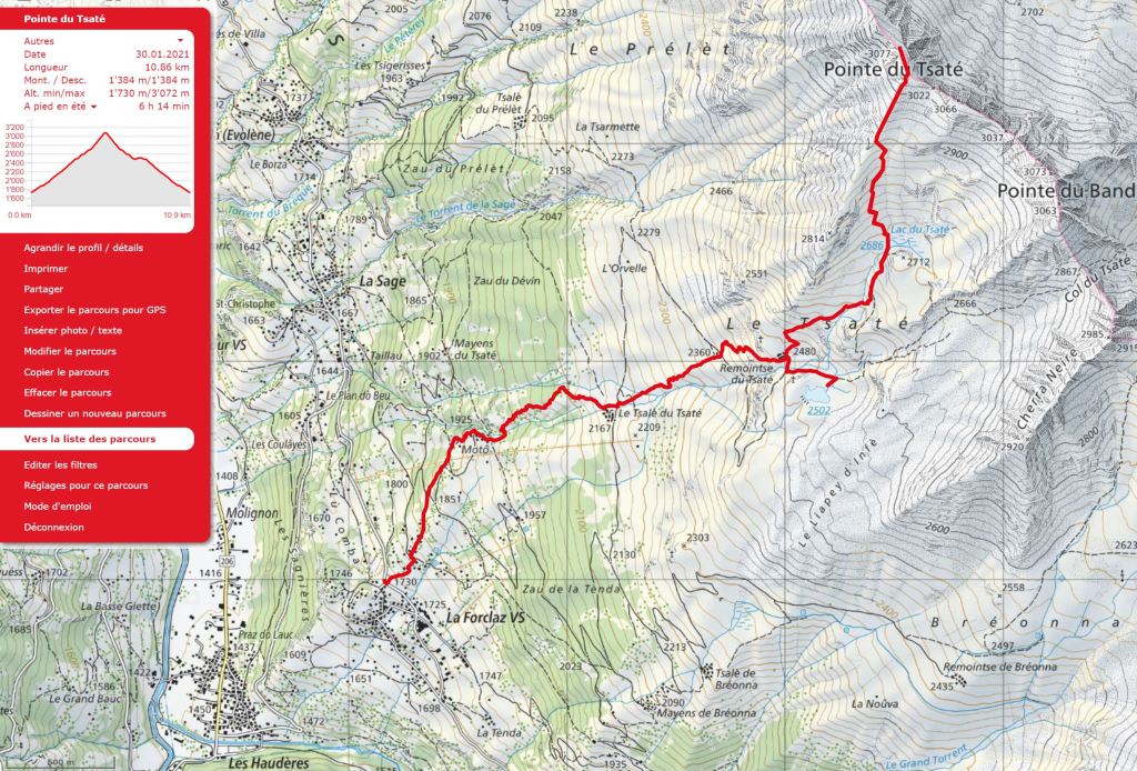
Outline Map:
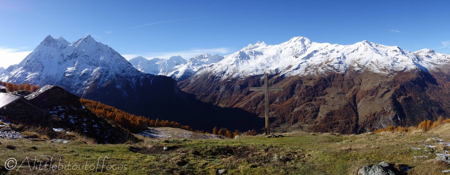
Gallery:


Route Description:
Walk 29: Pointe du Tsaté from La Forclaz (Distance: 10.9 km and 1,385m ascent)
Note that many of the pictures above were taken at the end of October, after snow had fallen. But it’s recommended that this walk is done during the summer and early autumn when the tops are clear.
- The walk starts across the road from the smaller of the two car parks in La Forclaz. The road/track ascends very steeply to begin with before bending to the left. Ignore the signpost to Bréona and go left for only a few metres. Almost immediately, on the right, just before the first chalet (and after a small layby/parking area) take the path up to the right of the chalet*. This continues up to a track – cross almost directly over (a slab of rock) and continue upwards.
*Alternatively, or if you miss the turning right, you can continue on the track. It bends quite sharply to the right and after about 100 metres there’s a path up to the left (where there’s a slab of rock).
The path meets another track coming up from the right. Continue to the corner (where the track bends back to the right) and continue forwards in the same direction as before, going slightly downhill for only 20-30 metres, to where the track is often quite wet. Turn slightly right along a path, which initially traverses and then bends up to the right and ascends quite steeply to the left of a group of wooden chalets. (This is Matau or Motô on some maps). - Motau (Motô)
Keep going forwards, keeping all the chalets on your right (and ignore the path which goes off to the left and across a bridge). The track/path goes up to the right of the stream, before soon crossing it to the left.
The path now zig-zags up through some trees, before bending to the right and reaching a wooden cross and some buildings at Le Tsalè du Tsaté. - Le Tsalè du Tsaté
With a stream on your right, continue up to a track and cross almost directly over. Here there is a clear signpost indicating to continue directly forwards and up the slope to Remointse du Tsaté.
Along the way, you will pass to the right of a small disused hut and reach a track. Cross directly over here and follow the path, initially up to the left before it turns to the right and reaches a long farm building with a red roof. The lake is further up and to the right, but we will come back to that later… (See section 6). - Remointse du Tsaté
Go past the right hand side of the farm building and then turn immediately left and follow the path uphill as it veers to the right then turns sharp left, then right again, before continuing along the side of the hill.
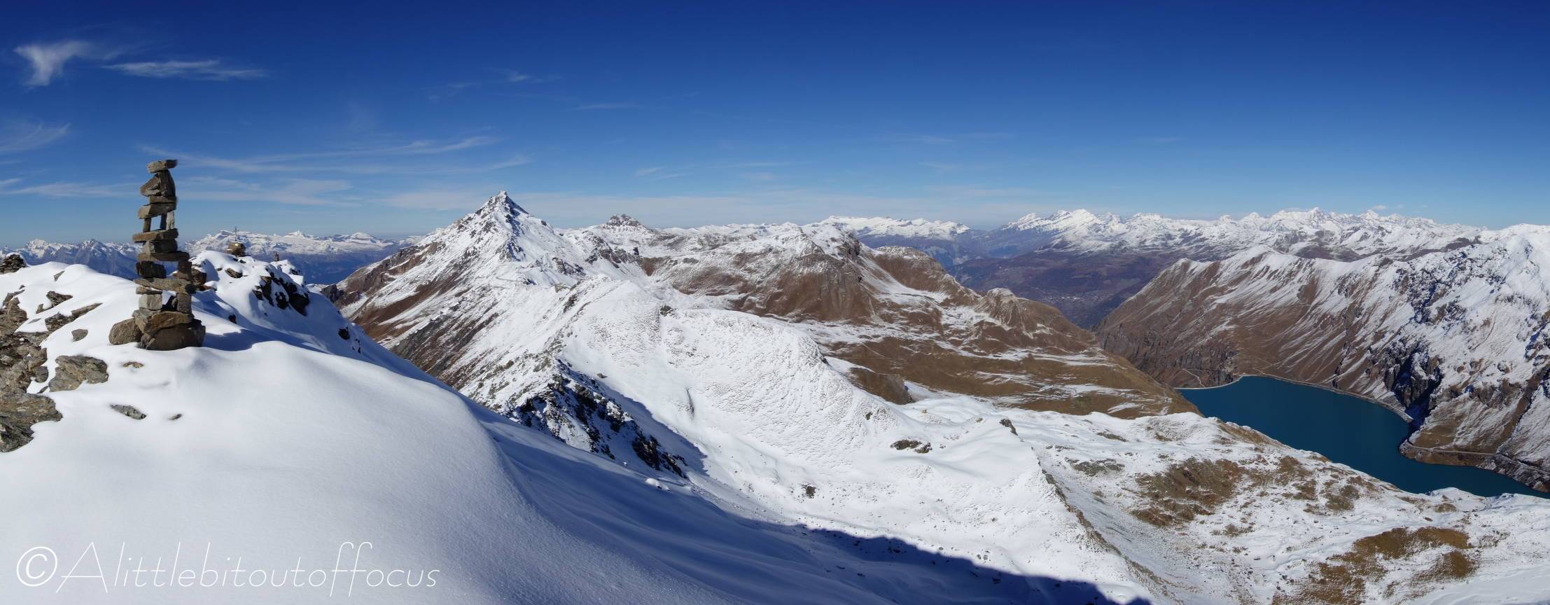
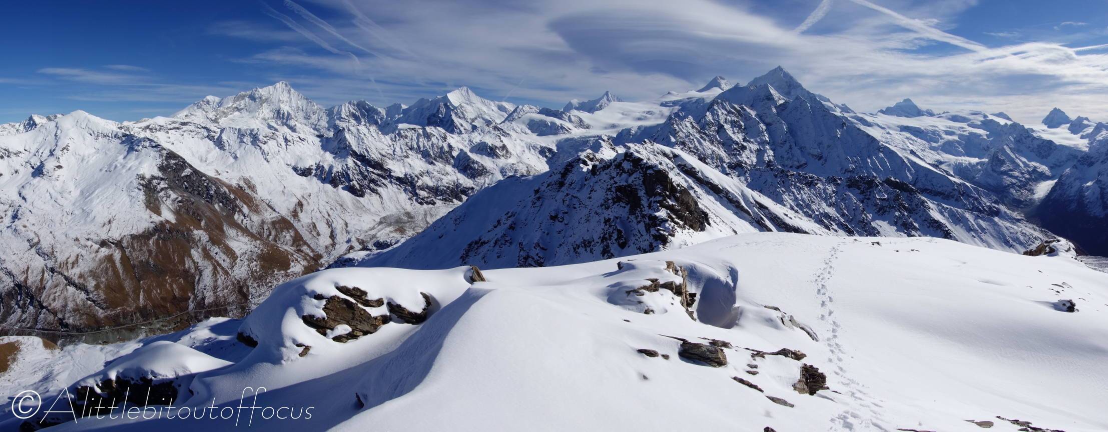
After another 500m you reach La du Tsaté (on your right). Continue upwards to the left and after another steep climb (and approx. 500m) you will reach a sort of ridge. Follow this ridge up and to the right of a temporary worker’s hut (if still there) and some avalanche metalwork, to the Pointe du Tsaté. - Pointe du Tsaté
There are two ‘high points’. The first you might reach is a stack of rocks, but the official summit (since it has the metal cross), @3,077m, is a little bit further across. Both have magnificent views.
Your descent is the same way you came up, but the instructions are below in case you need any help. (These are copied from Walk 28).
Descent
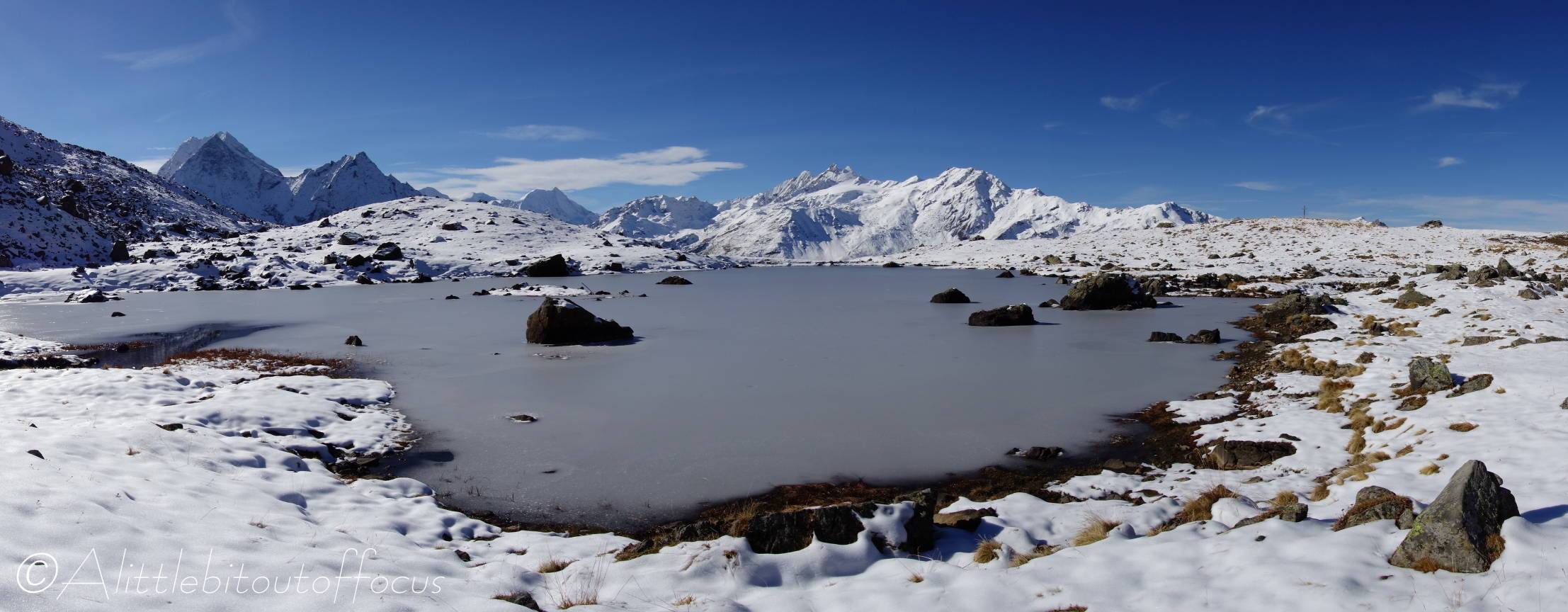
Return to the ridge and follow it down for maybe 400metres before turning left along a path which zig-zags down to a small lake, (Lac du Tsaté). Turn right and follow the path down to the farm buildings at Remointse du Tsaté. - Remointse du Tsaté – detour to the lake
It really is worth a short detour up to the lake (which you possibly noticed during your descent). It’s potentially a photographer’s dream to capture one of those stunning mountain reflection images, (if the lake is not frozen of course!) If this appeals, turn left at the farm building, along a narrow track and cross a stream, then turn left and ascend to the lake. Return the same way.
The path down continues along the left of the farm building before dropping down and around to the right. The path finally turns left down to a small building just below the intersection with a wide track. Follow the path down to the left of the building, almost directly downhill to Tsalè du Tsaté, where there is a signpost (indicating the way down to La Forclaz and Les Haudères). - Tsalè de Tsaté (2nd time)
Cross over the track, slightly to the left, and follow the path down to the right of some buildings and a small stream. At a wooden cross it turns off to the right and then bends back to the left and down quite steeply, through some trees, eventually reaching a stream.
Cross the stream and follow the wide track to the right of some buildings (Motau). Follow the sign to La Forclaz and La Sage. The path goes to the right of the rightmost building and descends to a track.
Note: Keep to the higher path as it bends to the left (as indicated by the arrow on a stone). Turn left along the (often rather wet) track to a man-made track/road at a U bend and then turn right.
After only about 20m, a path goes off to the right and drops down a field to another track/road.
Either cross directly over the track and descend through some chalets to the track which goes left down into La Forclaz,
or, turn right and follow the track down as it U bends to the left and then continues all the way down into La Forclaz.
