Outline Map:
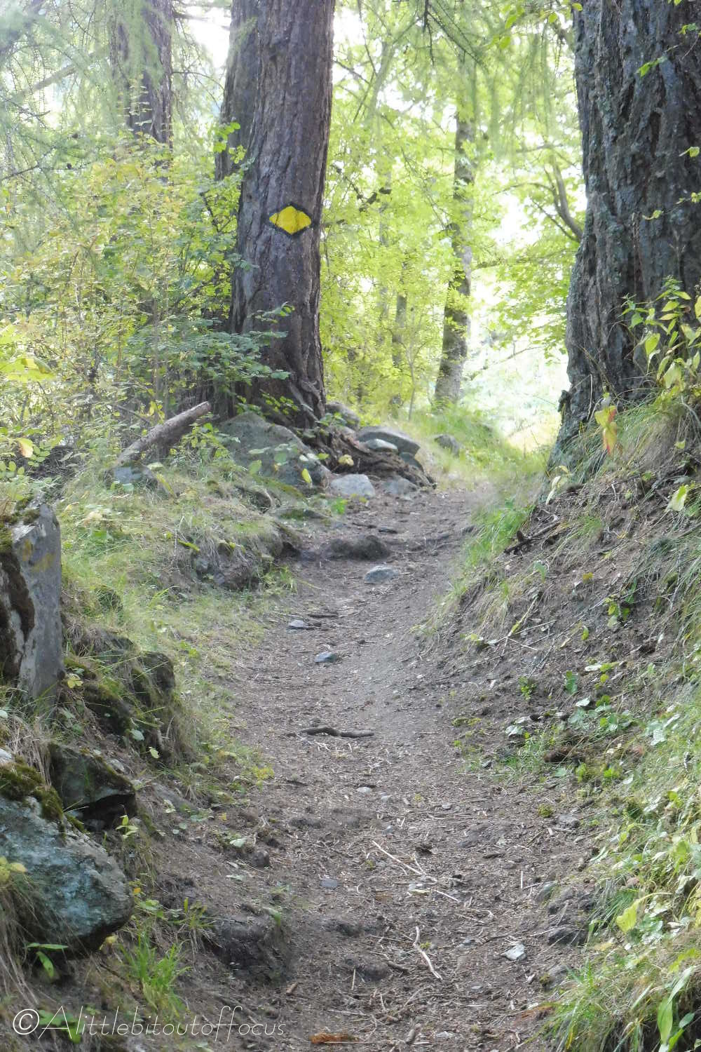
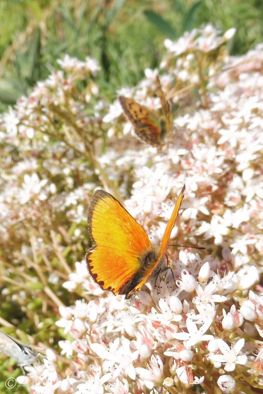
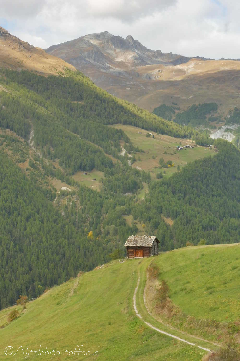
Gallery:


Route Description:
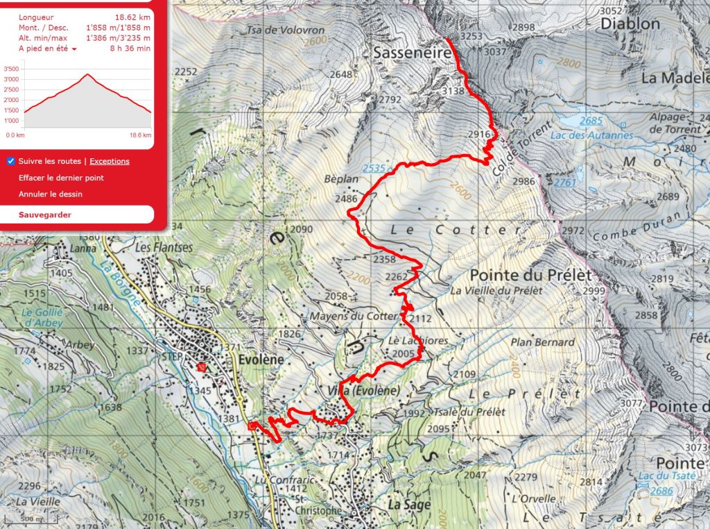
Walk 27: Sasseneire (Distance: 18.6 km and 1,860m ascent)
This is a fabulous walk (taking the same route initially as the Mayens de Cotter, Walk no. 16). The route climbs from the word go and just keeps going, but the views of the mountains and over the valley, and ultimately of the Moiry valley too, are superb.
N.B. For those suffering from vertigo: Although there are no precipitous drops (other than on the far side of the peak itself), the ascent to the summit may not be advisable.
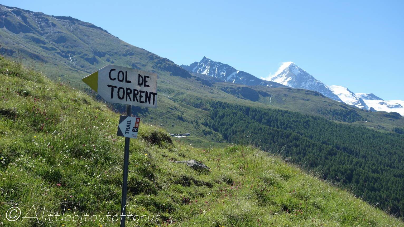
As a slightly easier alternative, the Col du Torrent alone is a good days walk, also providing great views into the Val d’Anniviers. (Distance: 16.6 km and 1,555m ascent – from Evolène/via ferrata car park).
- From the via ferrata car park, just beyond the Co-op roundabout, walk between the chalets and turn right. The path winds up, eventually meeting a sign (where the via ferrata descent path meets the one you are on). Go right here and continue to ascend until you reach a cross track at a bench. Turn left here. The track bends up to the right and soon enters Villa.
- Villa
At the village road, turn right for 15m and then turn left at a huge signpost. The track ascends steeply, passing through some chalets. After zig-zagging left-right-left the track passes a few more chalets on the left before bending to the right. Straight ahead you will see a stream coming down. Keep to the right of the stream and up a path which crosses a wooden (single plank) bridge (see pic 4) and ascends again to the left. Soon you will reach a signpost. Turn right here towards the Mayens de Cotter / Col du Torrent (and National Walking Route 6). The path climbs to a single chalet overlooking the valley and meets a wide track. Turn right then immediately left here and traverse across a wide open meadow. The path bends to the left and climbs to 8 or 9 buildings at Mayens de Cotter. - Mayens de Cotter
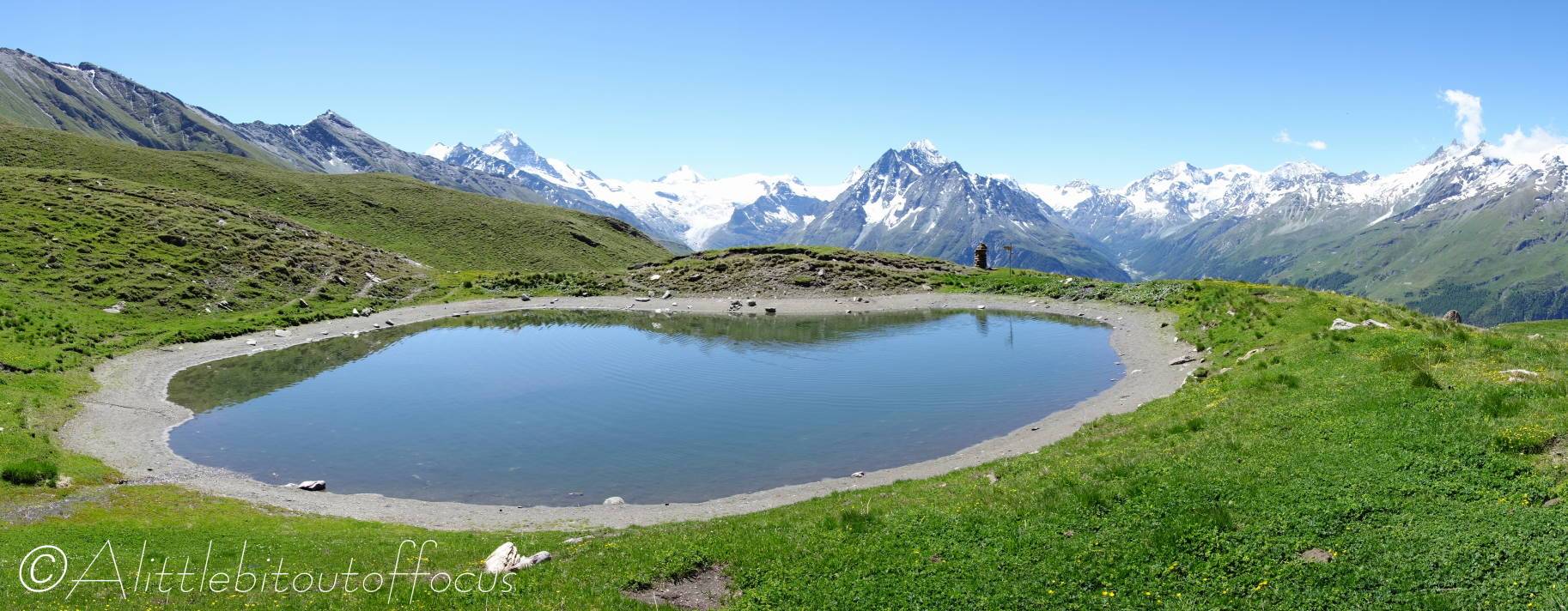
Turn left for about 30 metres along the track then take the path up to the right of a chalet. (Note that a water tap is usually available here). The path zig-zags up to the right then to the left and appears to be going too far left to be heading to the Col, but around 100m after a beige rocky outcrop, the path turns to the right and runs along a small elevated ridge. It then runs past a small lake (at Béplan) before ascending quite steeply again and ultimately around to the right and then left, quite steeply, up to the Col du Torrent. - Sasseneire
If heading to the top of Sasseneire, there are 3 options:
i) there is a path which runs up to the left about 150 metres before the Col. It’s a stiff climb on a shale path before you get to the ridge itself.
ii) you may prefer to go to the Col, take in the views and have a rest before continuing, then turn left and go along the ridge. (It’s still a tough climb, but it seems less of a trudge!) However, please note, that after around 50 to 70 metres you have to scramble down to the left before regaining the ridge. It’s not particularly dangerous, but hands will be needed and care must be taken.
iii) possibly the best option (since it saves the scramble down or tough ascent of i) – only a few metres below the col, there is another path which runs up less steeply than i) to regain the ridge. (If at the col – go to the bottom of the ‘steps’ and turn almost immediately right).
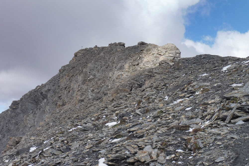
The way to the top is quite clear (along quite a wide ridge), though you have to keep to the left near to the top. There is a sort of false summit just before the actual summit with the cross, where you have to descend a little to the left to get to the cross. - Return via the same route.
Note: From the top, stay as near to the ridge as possible for the first 50 to 100 metres, as it’s easy to be drawn downwards where the route will be unclear and quite tricky). As you near the col, you can take any of the the paths mentioned in i) or ii) above. - Béplan (on the return)
Note that you can take a small shortcut after the small lake, by descending to an obvious track down to the left. (Part way down the elevated ridge, a track goes back down to the left at a sign for the Evolènard bike race/Trail challenge). Then soon after passing a feeding trough, you can see the rocky outcrop mentioned above and therefore you can cut down and across the meadow to meet up again with the ascent path.
