Long time followers will know that I regularly organise a walk with my ex-work and running buddies. Last year it was a circular tour of Snowdonia, where we all walked together and carried our rucksacks from B&B/hotel to B&B/hotel. As we’ve got older, the packs seem to be noticeably heavier and the distances much longer. So this year we reverted to our tried and tested ‘relay’ format, supported by a car….
That is where 2 or 3 people would set off from the start and the remainder of the group would drive the car to an appointed place and walk from there to the end, or overnight accommodation for that day. The others would arrive at the car and drive to the finish. This way, you can travel much lighter and faster/further, as most of your kit for the 4 or 5 days is left in the car and you only have to carry the bare essentials, like waterproofs, water and any snacks to keep you going. Each day we change ‘partners’ and we get to swap stories over a meal and a beer in the evening. 😋🍺
On this particular route, we hoped was to find plenty of cafés for the cake along the way, or a pub or two for some ale. Sadly, it seems cafés, at least along this (obviously mis-named) Trail, are few and far between and, with perhaps one exception, they were found only at our start and finish locations.
The relay idea also means of course that I wasn’t able to take any pictures of the ‘other’ leg each Day. Thankfully, unlike my other 3 pals*, my mate Pete does like to take a snap or three, so I’m grateful for him for providing some of the images in this and the remaining 3 posts to come. (*To be fair I do have a few photos taken by the other lads on their phones, but not enough to give you a flavour of the route, so my apologies for excluding them).
Lastly, since the split of the distances was still a bit too long for the first leg on Day 1, we drove about 3 and half miles down the road to drop Pete and Liam off at Crateford, before continuing to park opposite the church in Cleobury Mortimer.
So below, you lucky people have two virtual legs to ‘walk’ or view for the price of one!
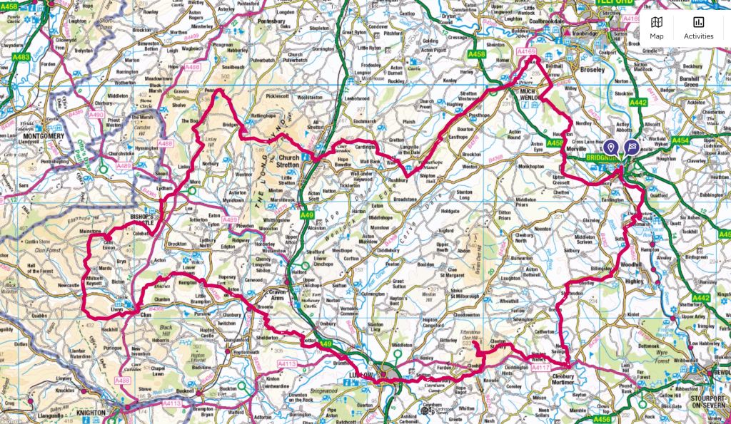
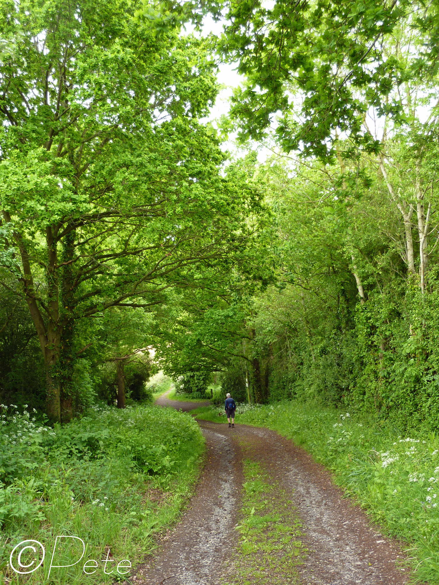
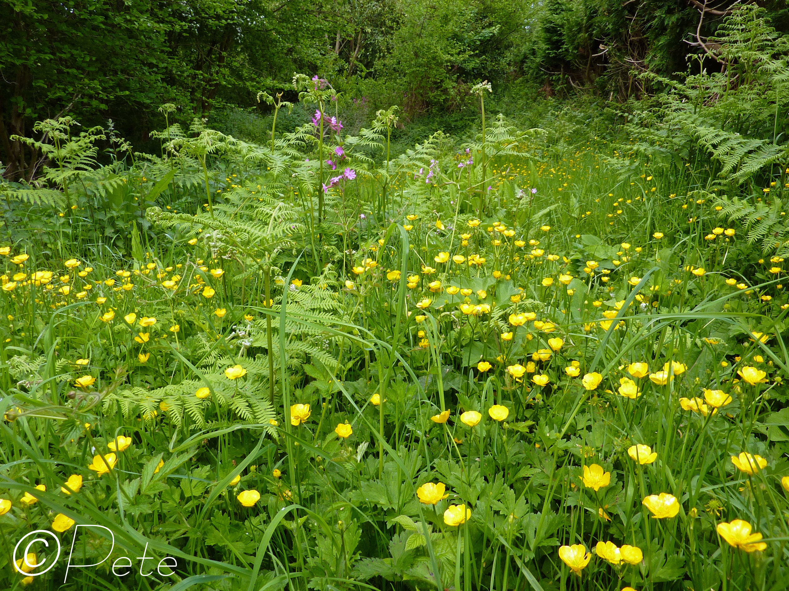
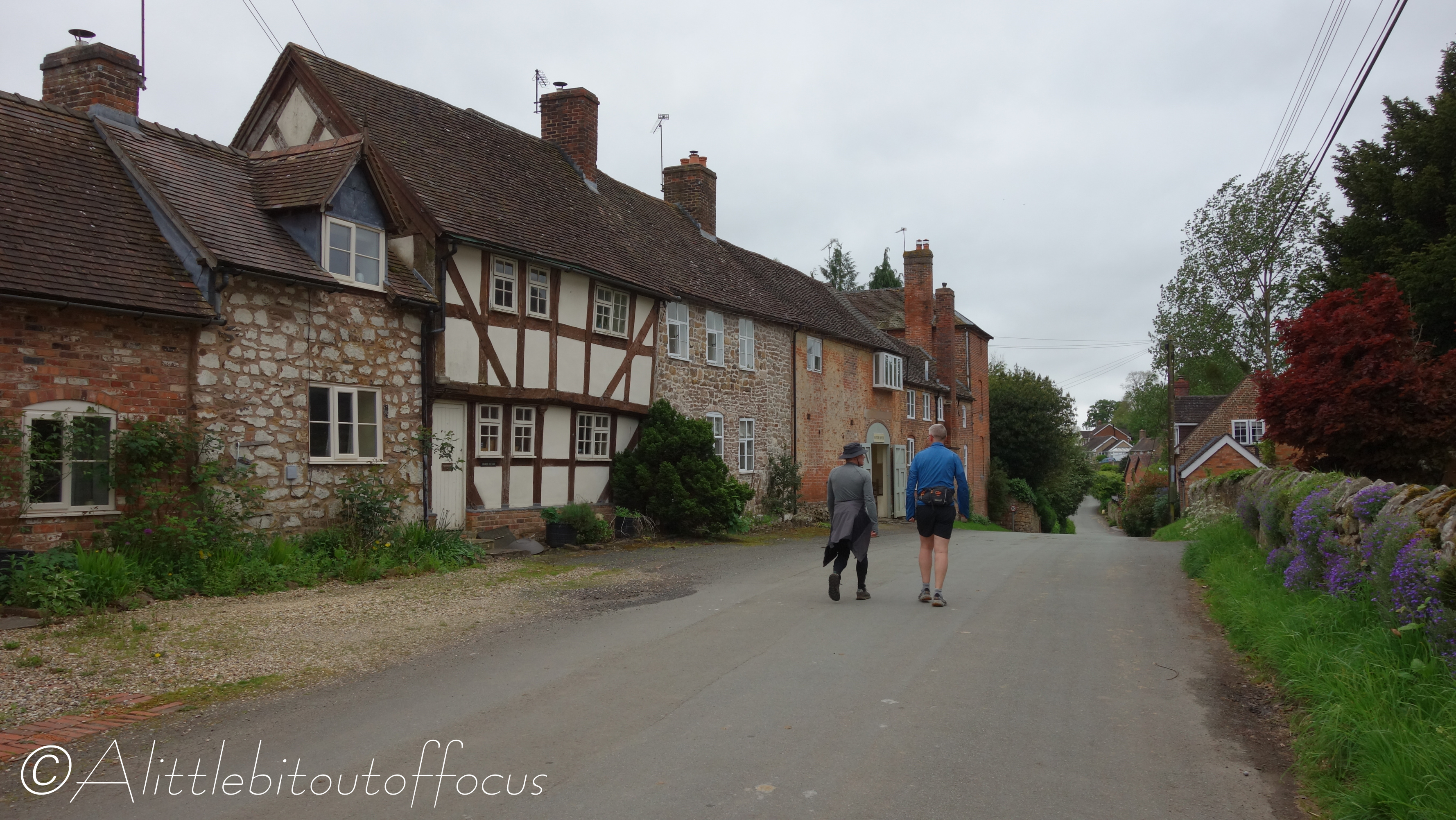
Leg 1: Crateford to Cleobury Mortimer (12.5 miles approx. with Pete and Liam)
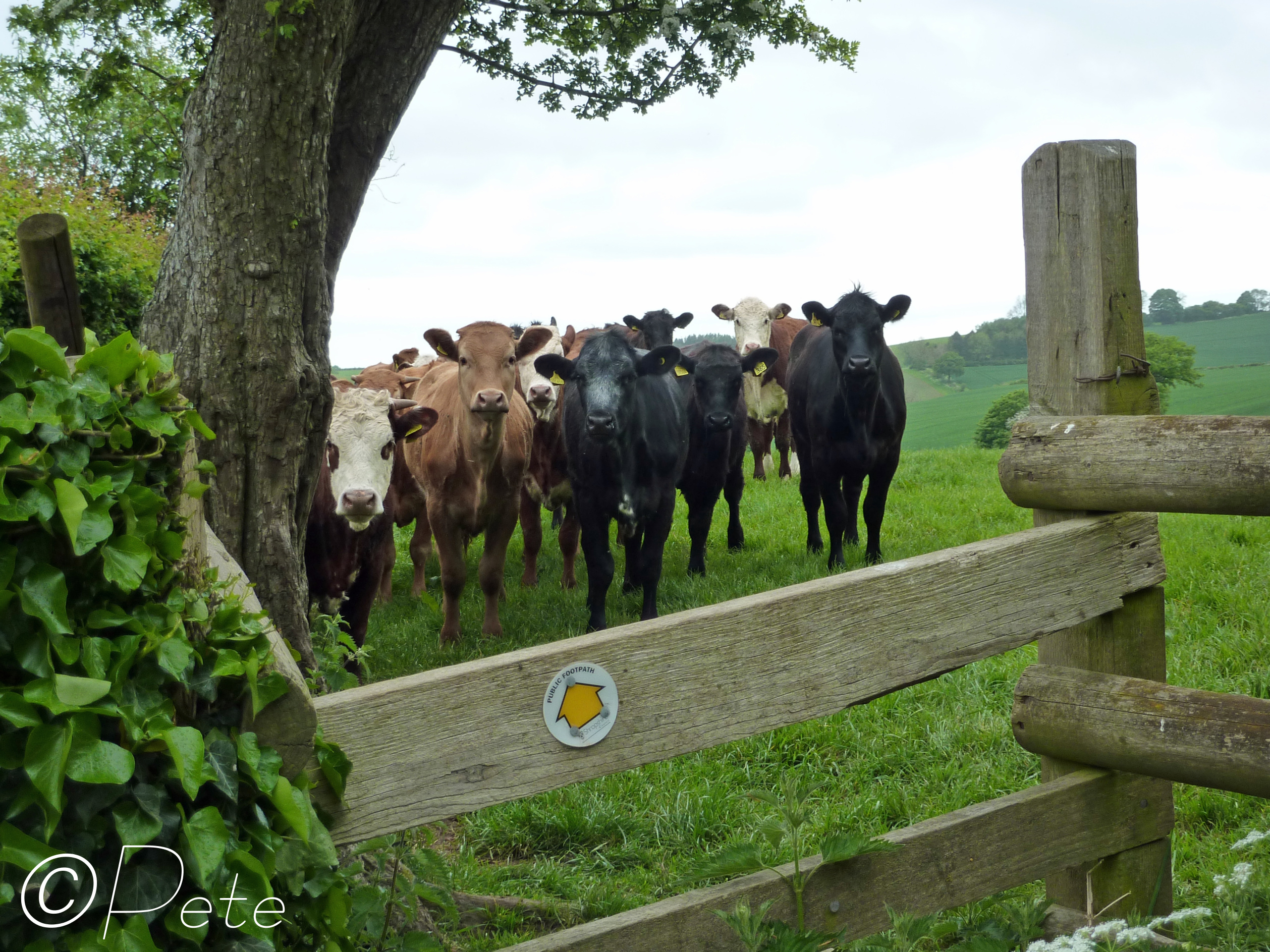
When the two of them arrived at the finish in Ludlow, Liam in particular was not a happy chappie. I was informed that there was about a 2 mile stretch which had no signs nor path to speak of at all, some of which went through head high rapeseed plants. (That’s not a good thing when you’re only Liam’s height! 😉) Could they have been off route I wondered… But Pete assured me they were bang on track. Now, I can understand why it might be difficult to follow the route on a laminated copy of the OS Map, particularly the section which was printed at 1:40,000, (to ensure it all fit onto 2 sides of A4). But what I did question is why Liam never got out his mobile phone which had the OS map app, showing exactly where they were (at 1:25,000). 🤔 Pete still uses a ‘brick’, so he was stuck with the A4 map!


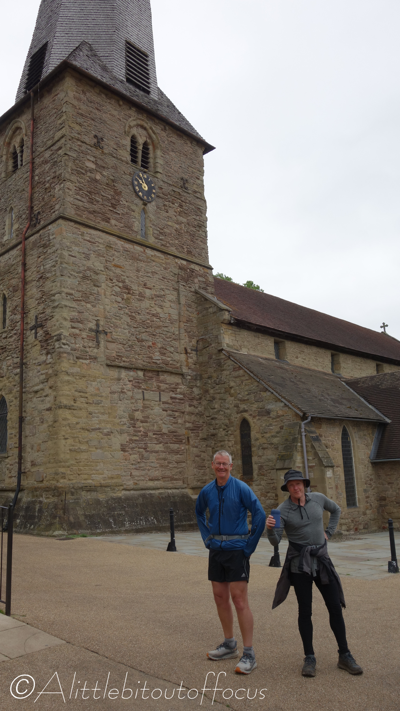
Leg 2: Cleobury Mortimer to Ludlow (15 miles approx. with Tim, Dave and me)
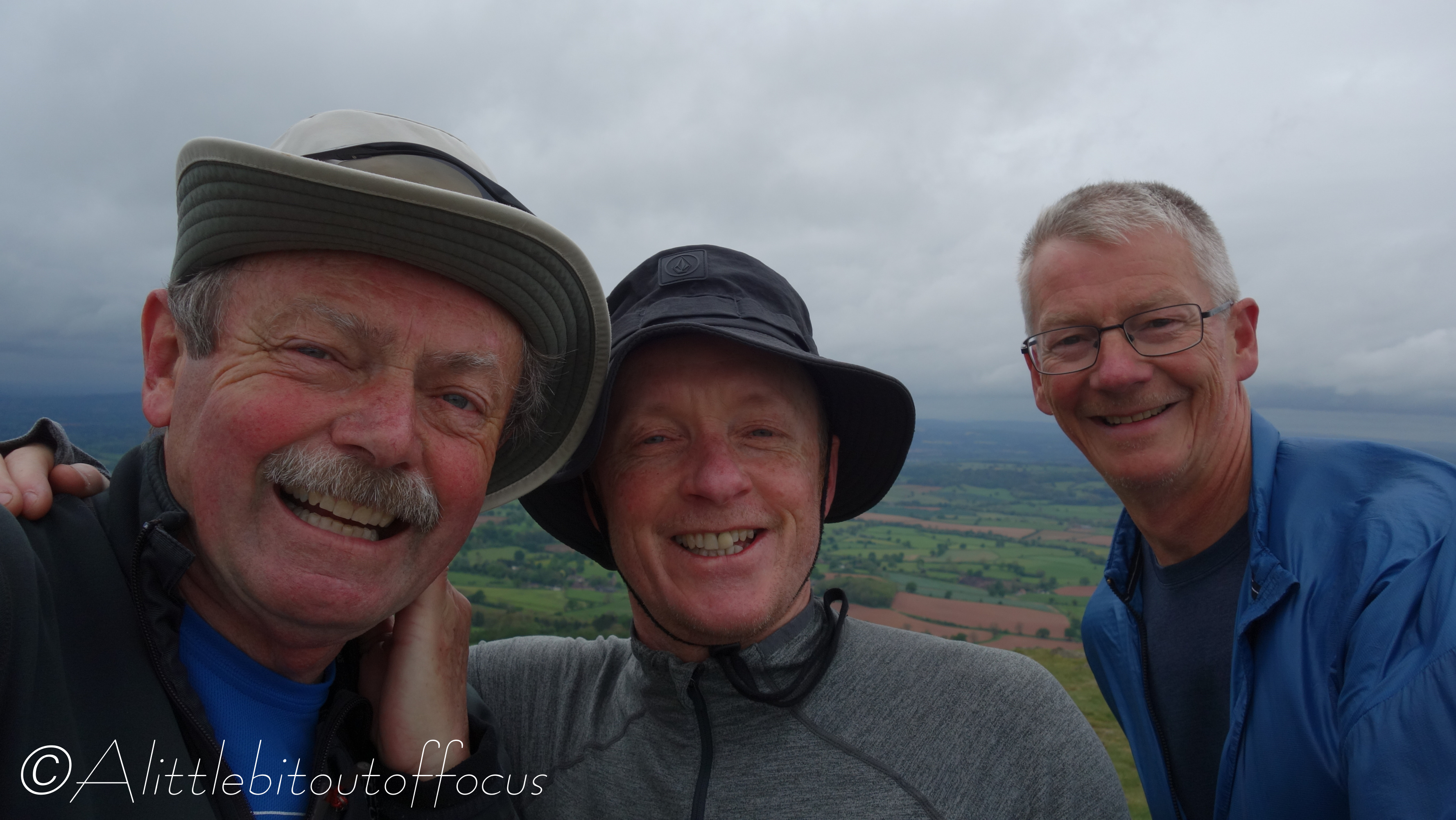
Our leg was much easier to navigate (particularly since Tim, Dave and I all have the OS app on our phones!) and, from what we heard, it was a little bit more exciting than the above. Highlights included visiting the delightfully named villages of Cleobury Mortimer and Hobson Wafers (who thinks of these names?!) and finding the pub in Cleehill open on a Monday lunchtime. Result! (Many of the pubs in UK villages close on a Monday and Tuesday sometimes). I was looking forward to the walk up to Titterstones Clee Hill, the highest point on the whole Cake and Ale Trail, but I think the 3 of us were a little disappointed. But then, the weather was a bit dull and there was a force 8 gale blowing at the top! (You can see me holding onto my hat in pic 20). A fine night was spent in Ludlow however!


Leave a comment