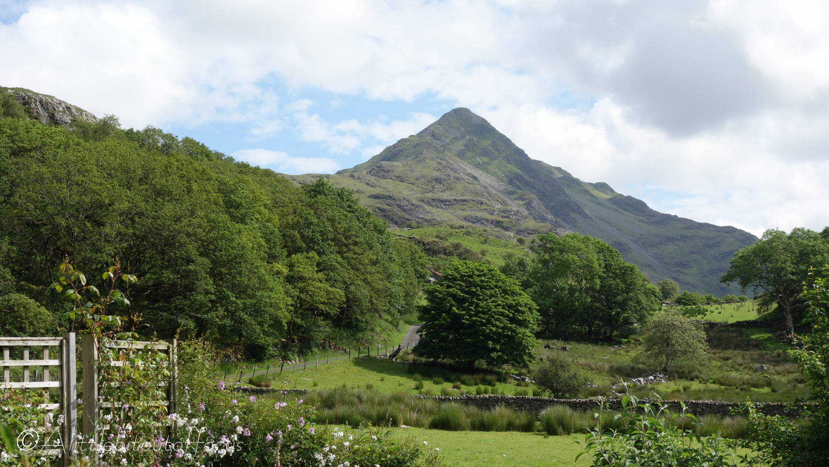
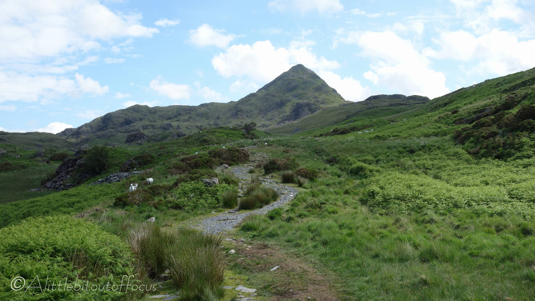
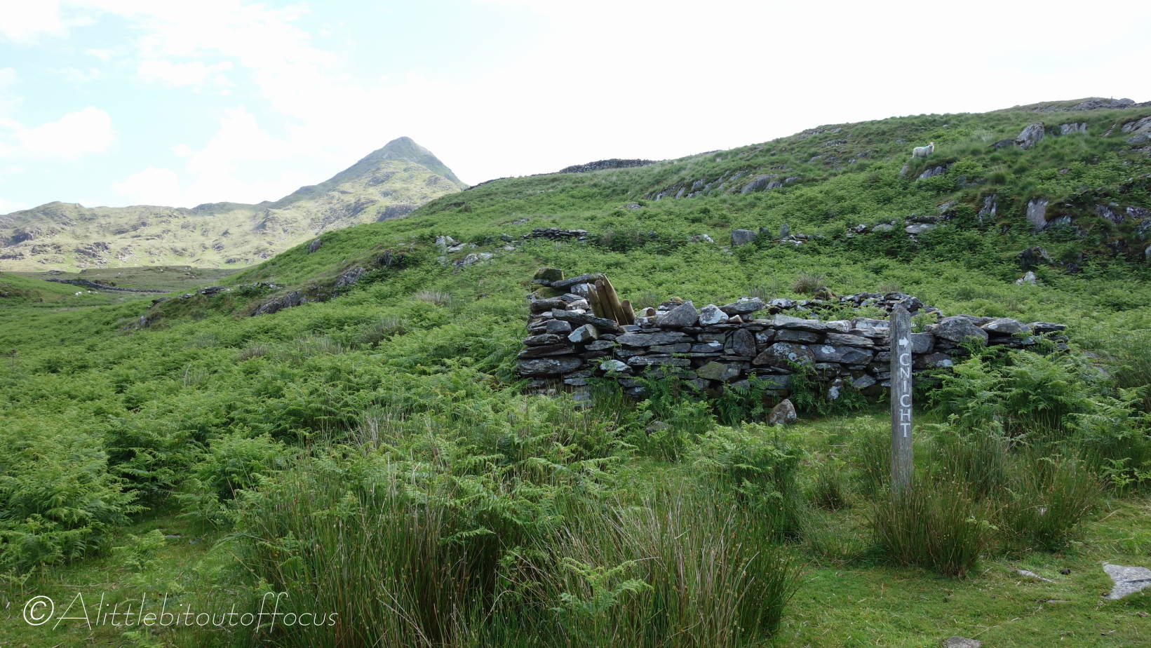
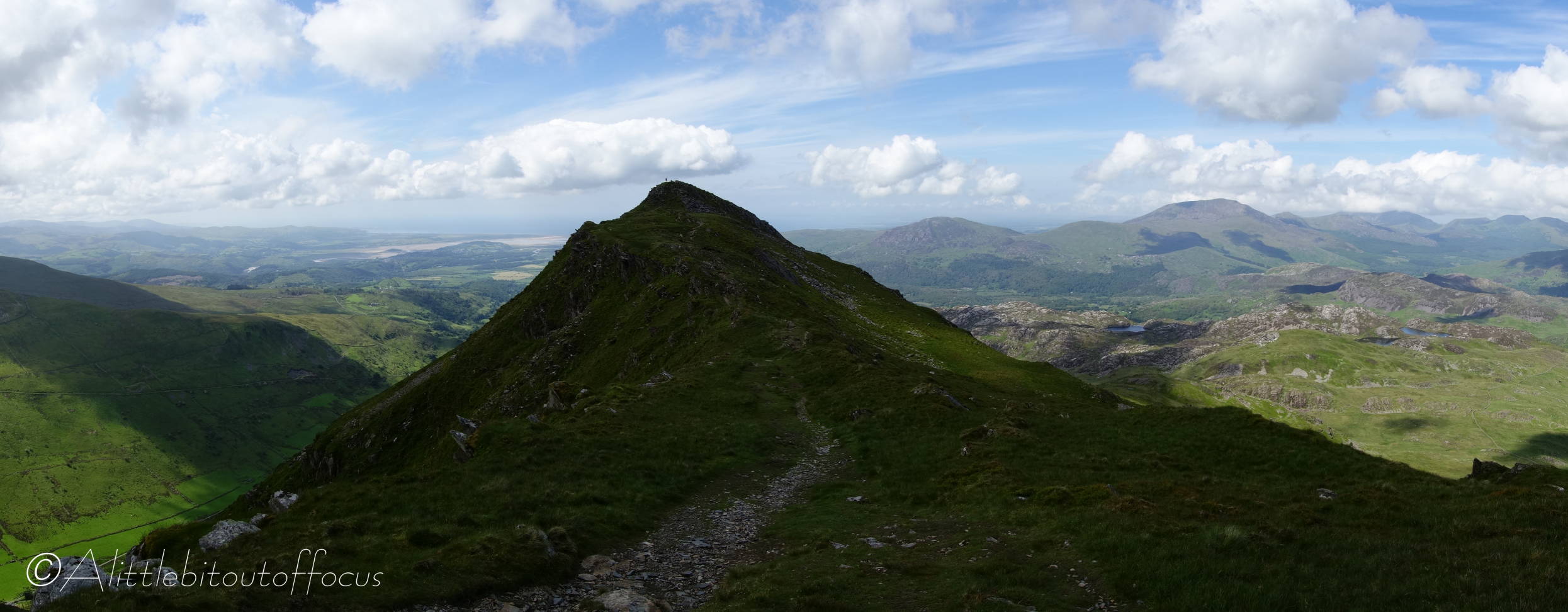
As mentioned in one of my previous posts, our cottage looked across to the hills and mountains of Snowdonia. One of them, called Cnicht, is known as the Matterhorn of Wales, due to it’s shape when viewed from a certain position. Well, it just had to be done.
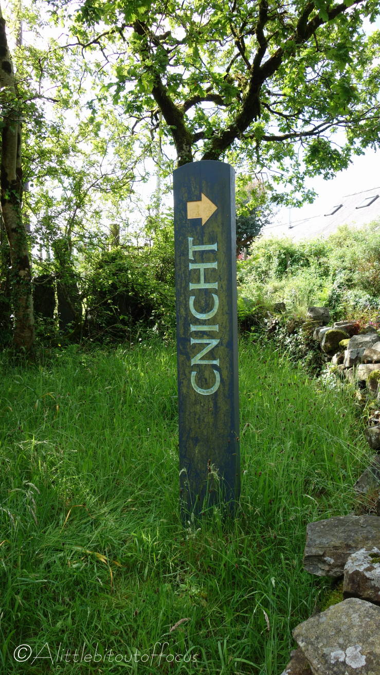
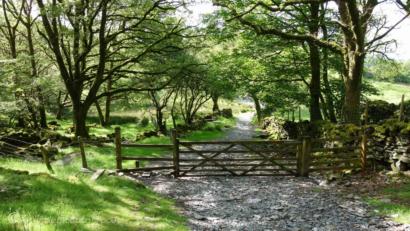
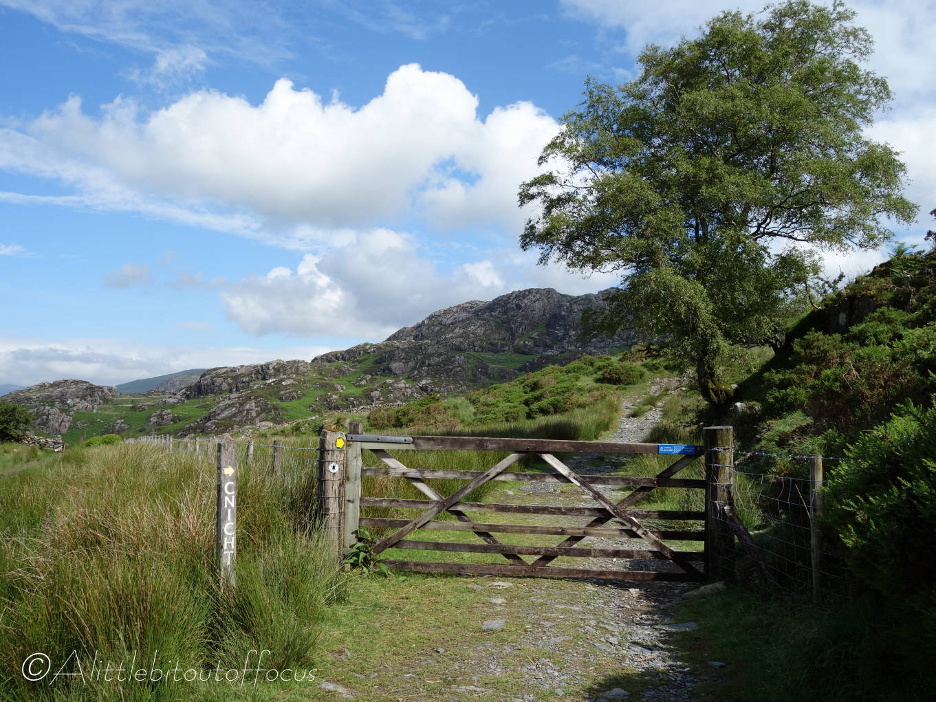
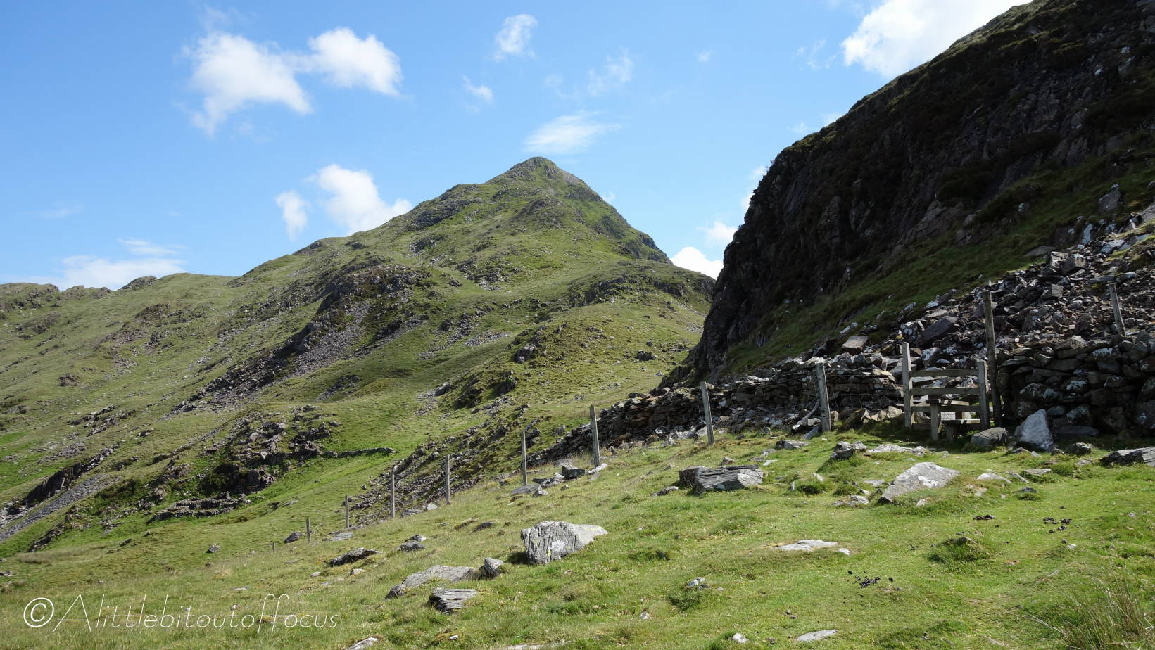
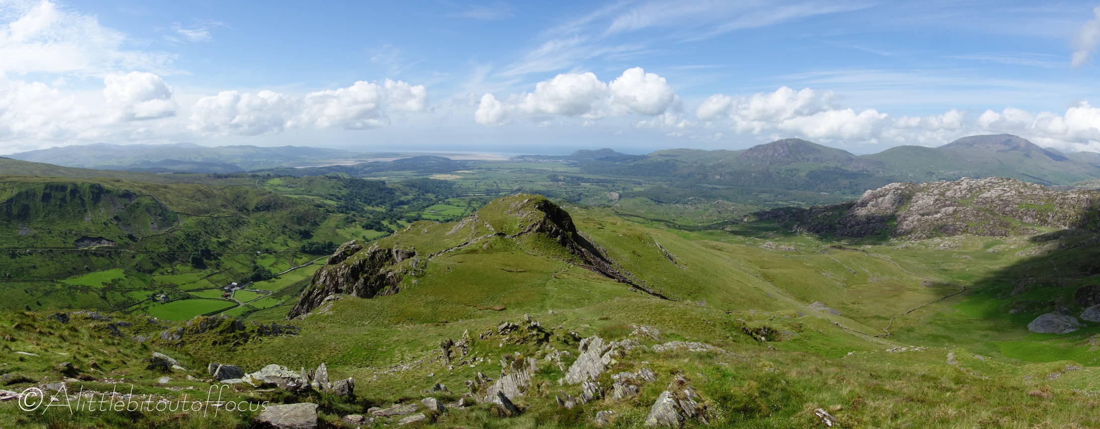
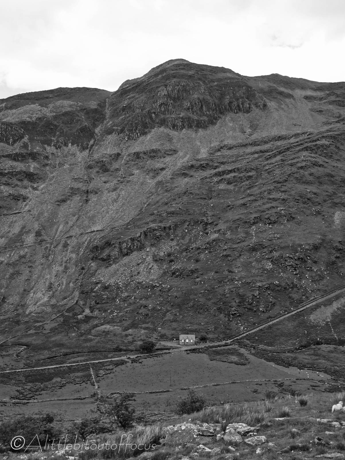
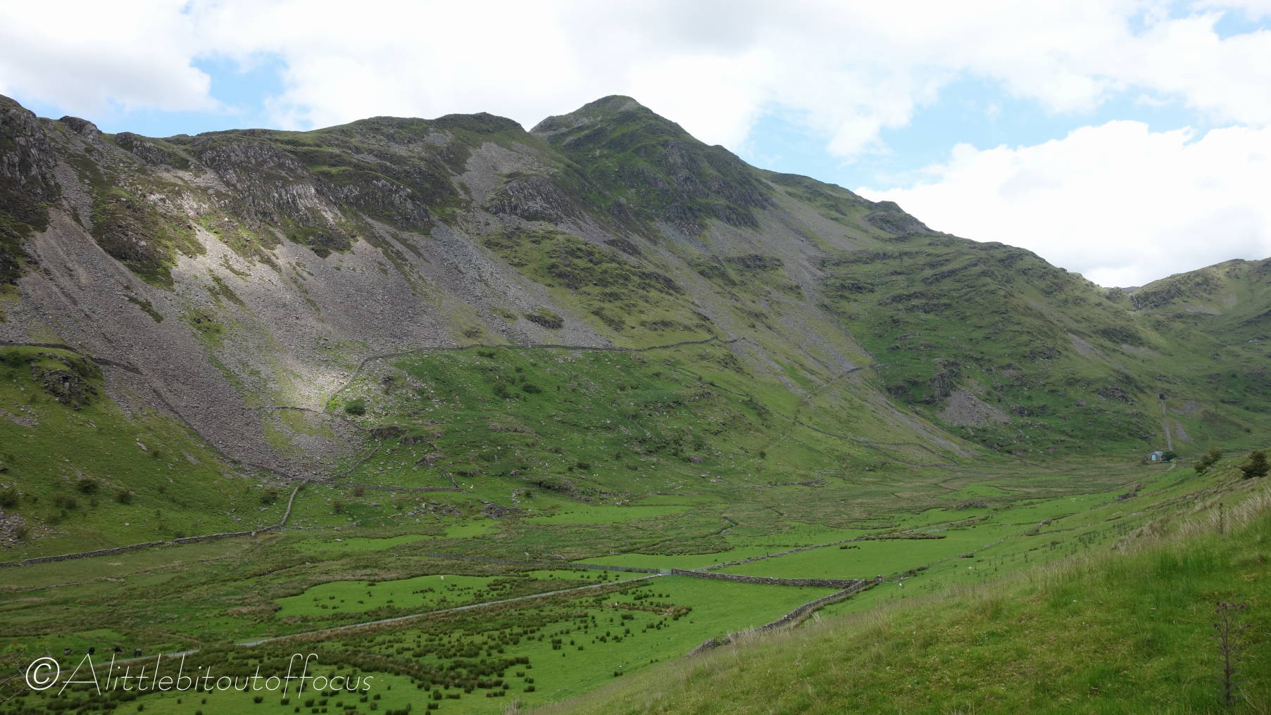
My route would start in the small village of Croesor and head up the south-west flank. I was a little worried about finding my way as the map never had a path marked. But as you will see from the pictures below, the route was well signposted, even from the car park, and the summit was always clear and visible straight ahead.
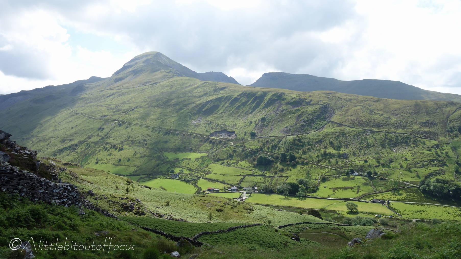
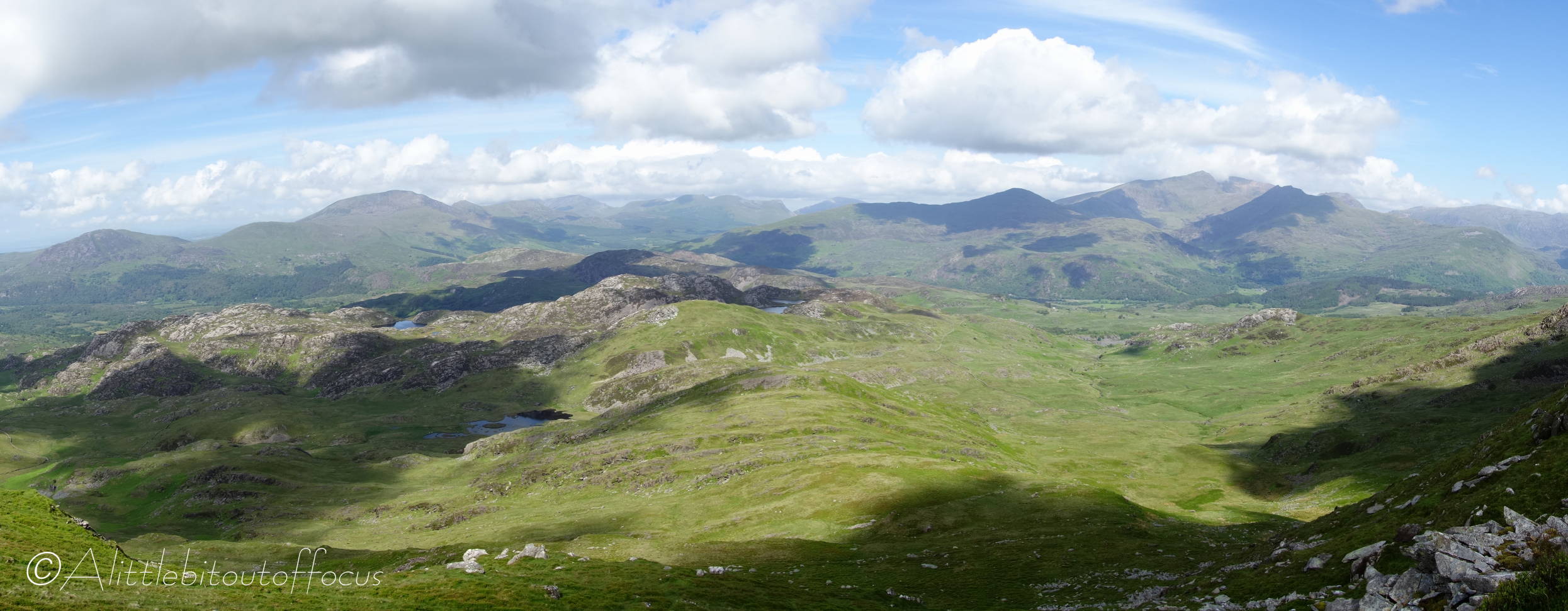
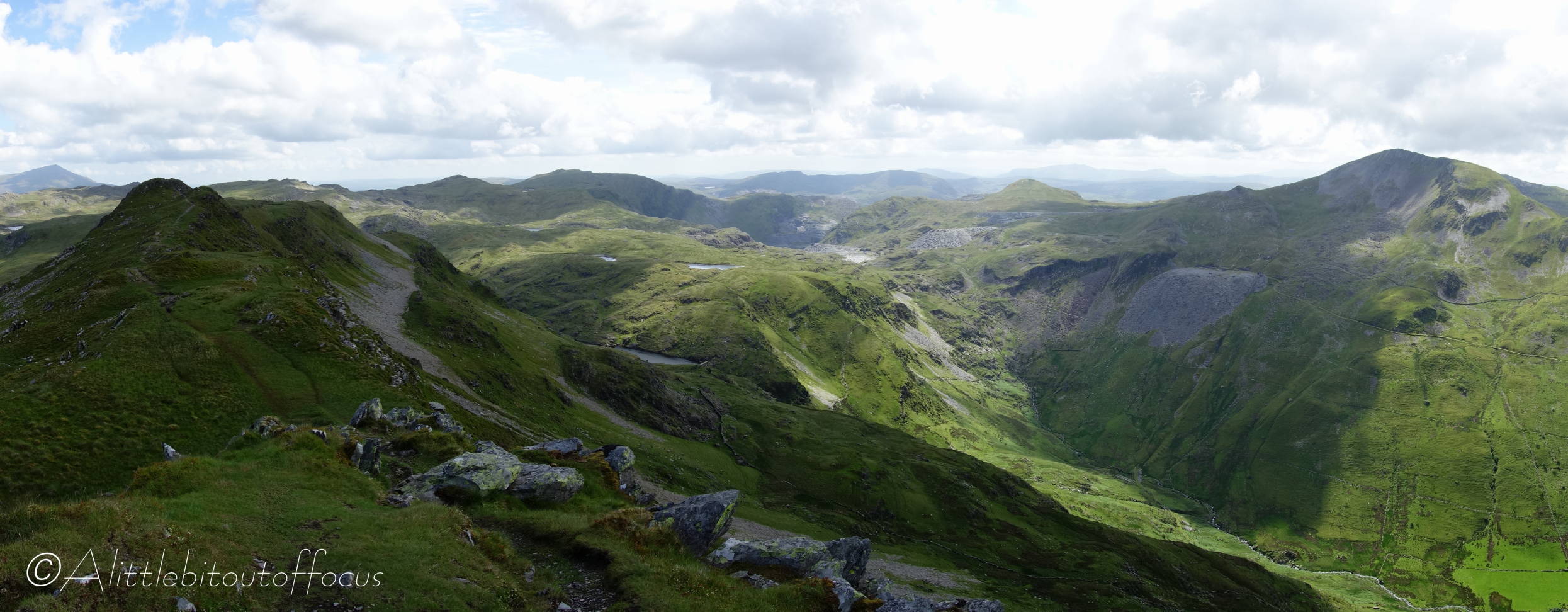
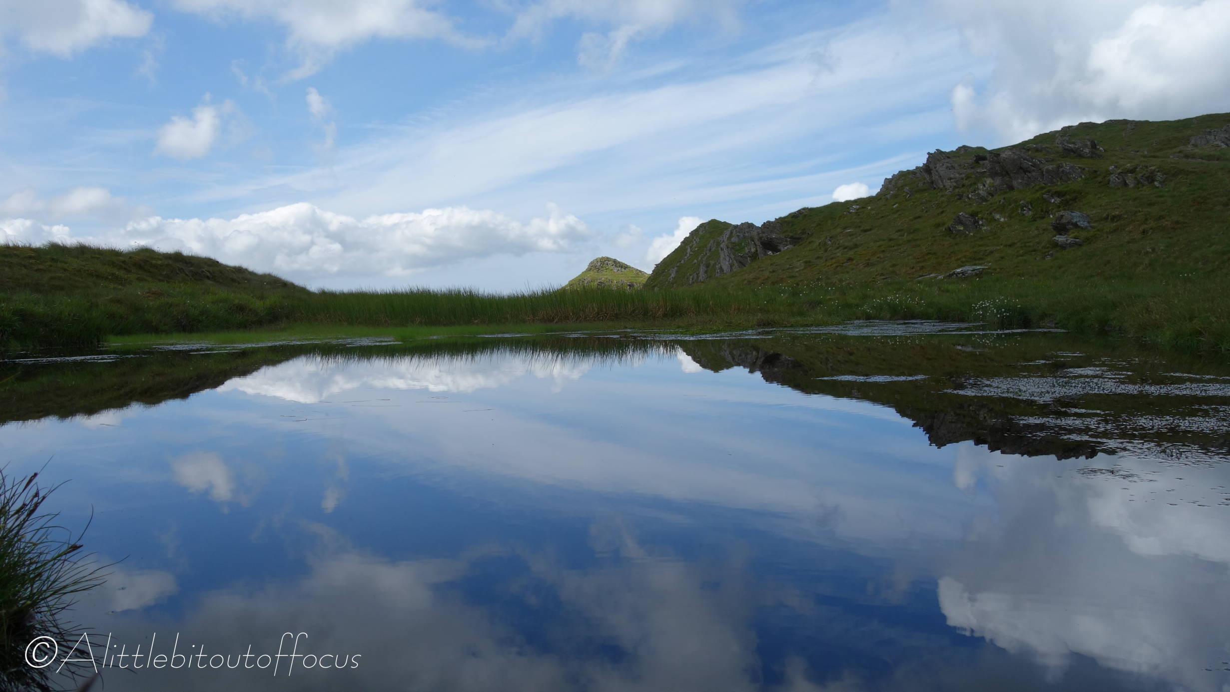
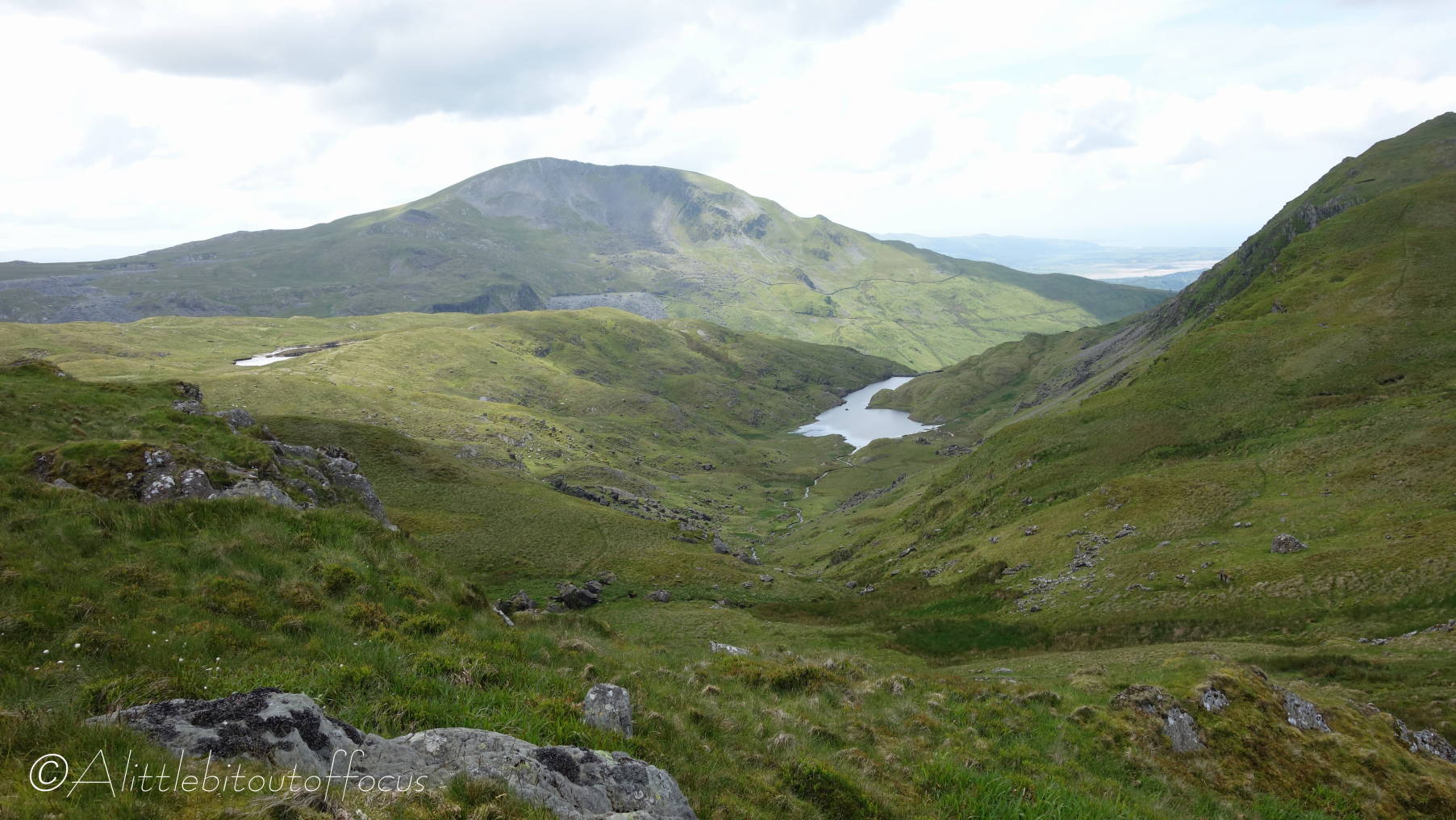
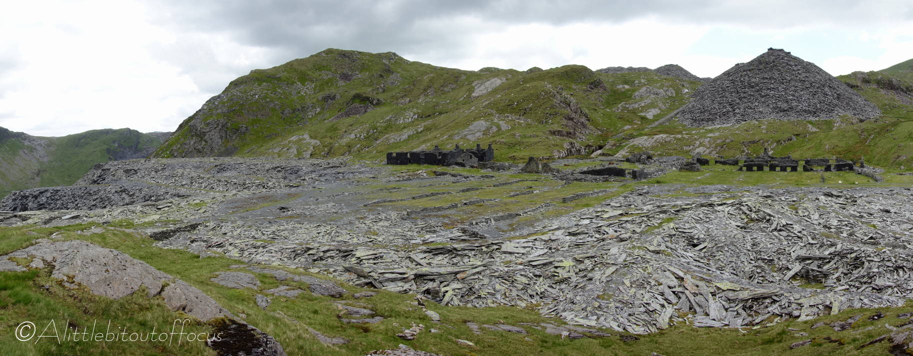
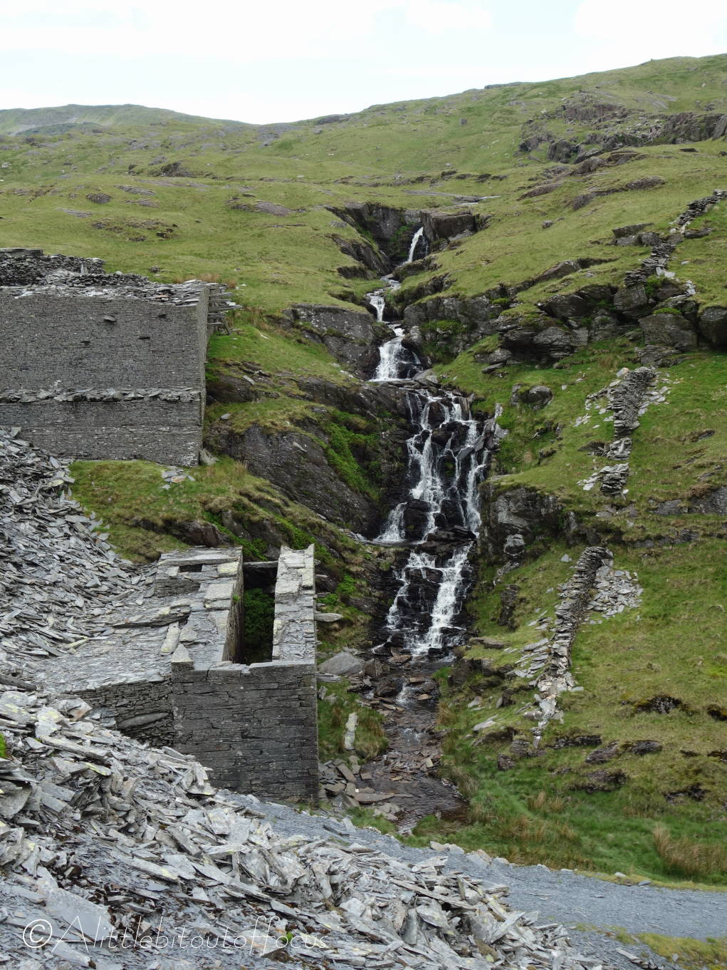
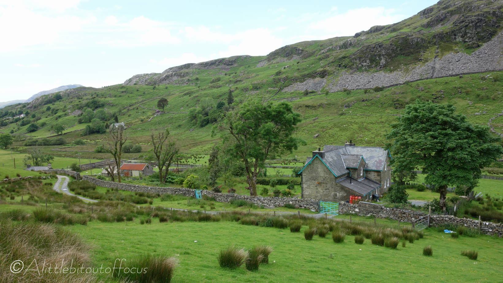
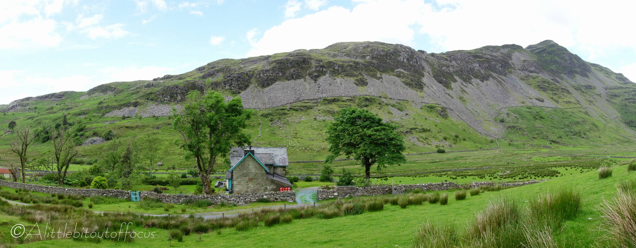
From there I descended to 2 or 3 of the many small lakes, or Llyns, which pepper the landscape, before returning via a disused slate quarry down the Cwm Croesor valley.


Leave a comment